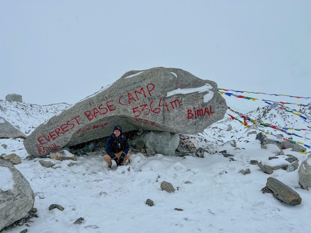
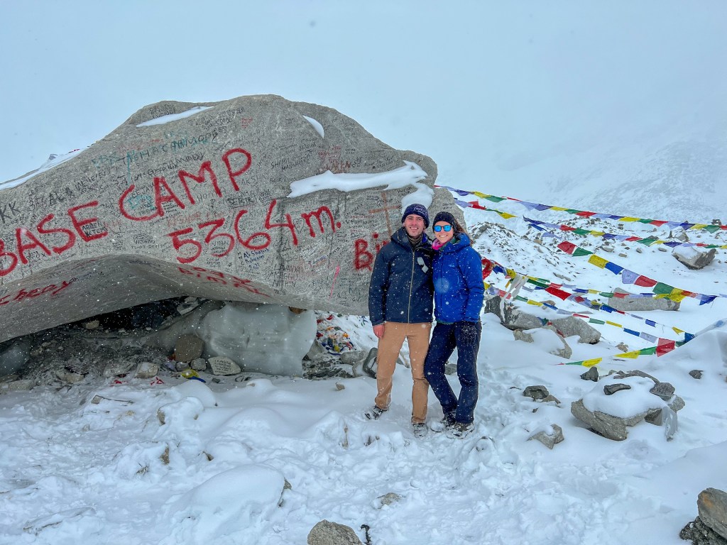
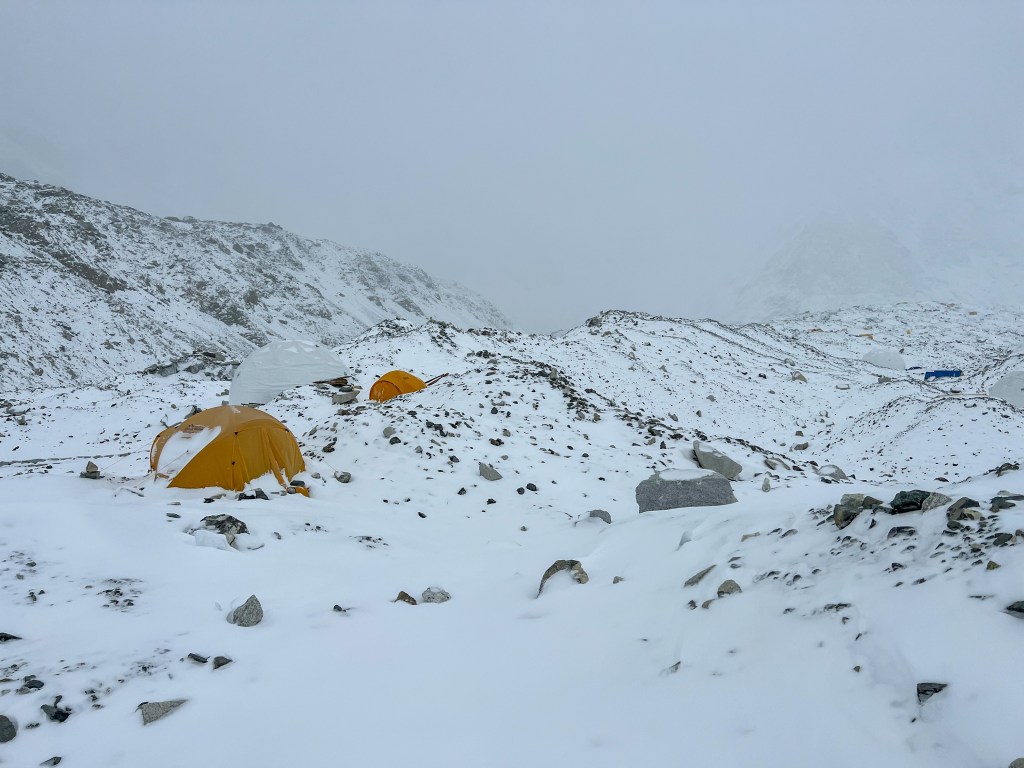
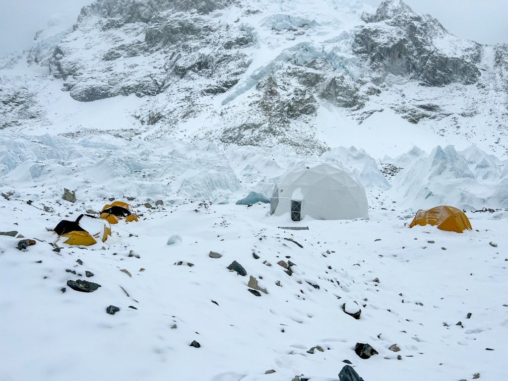
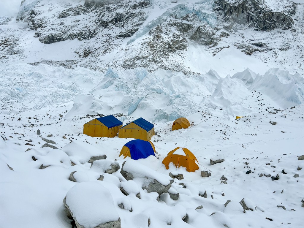
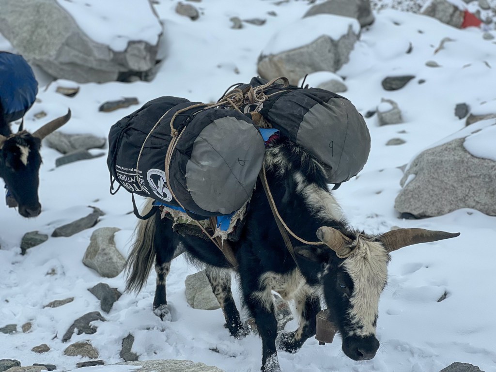
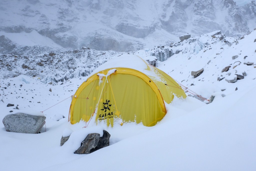
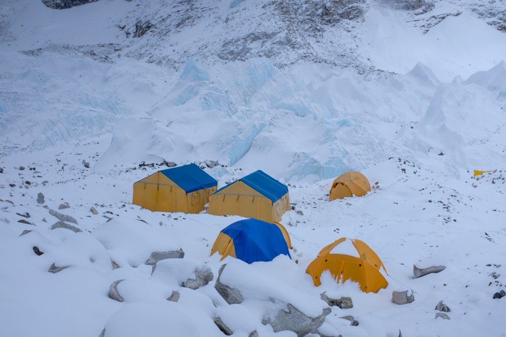
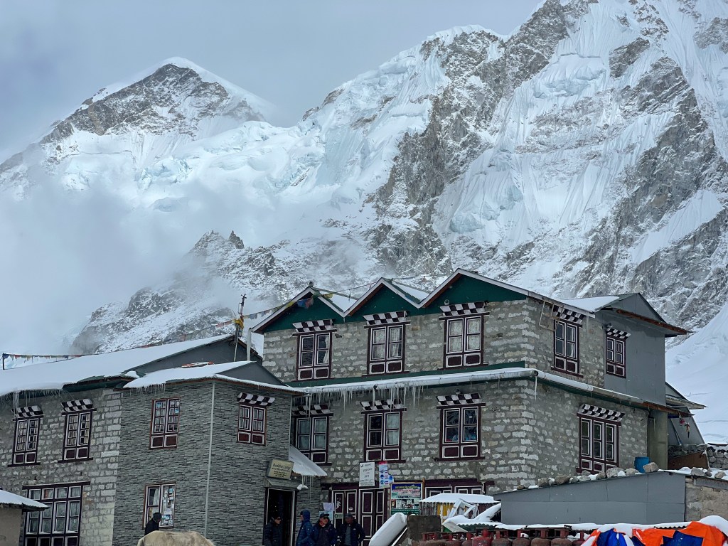
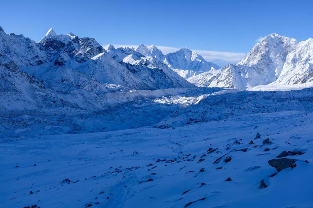
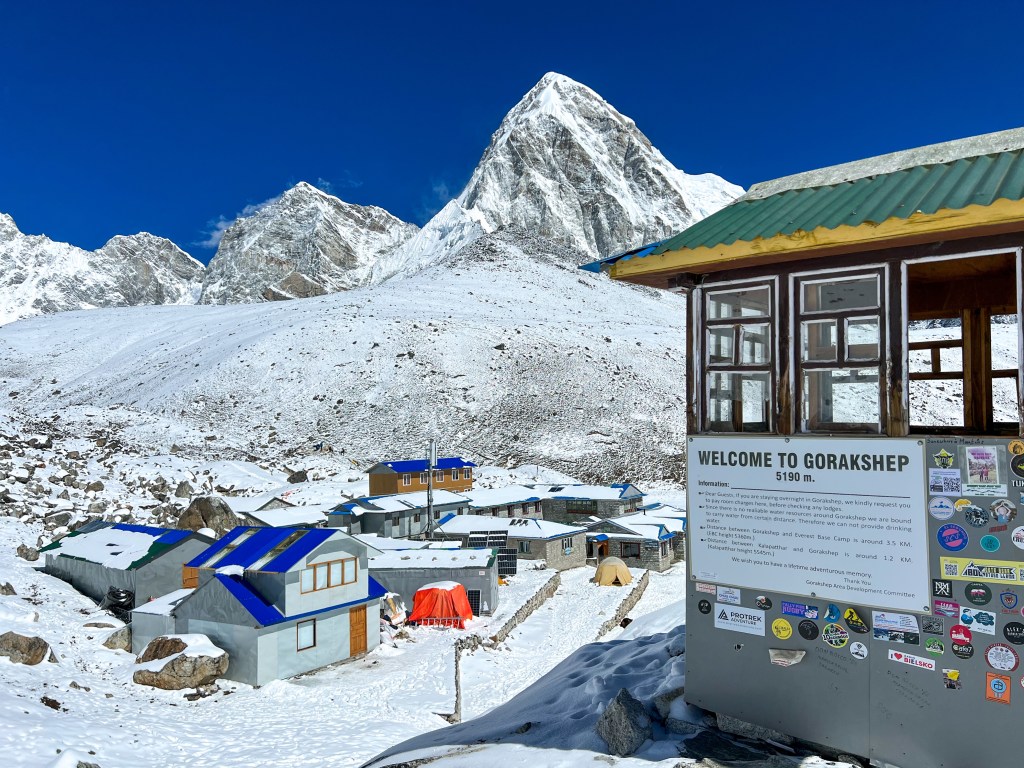
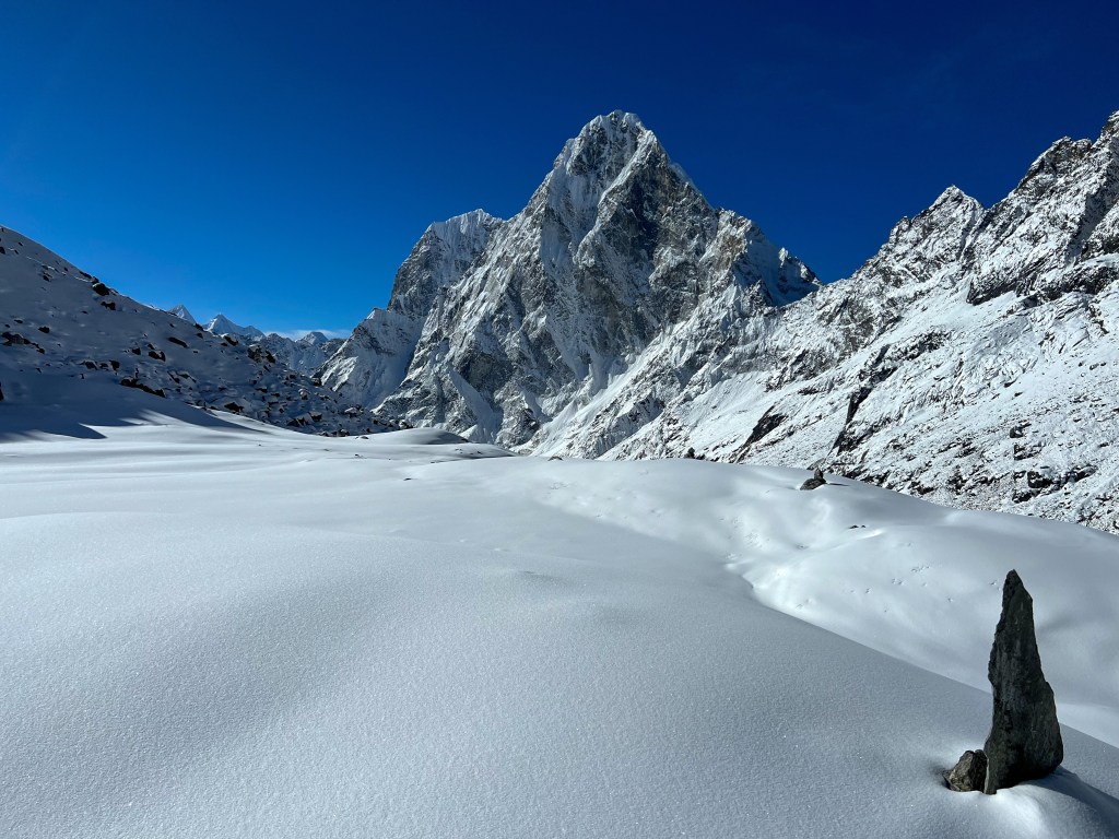
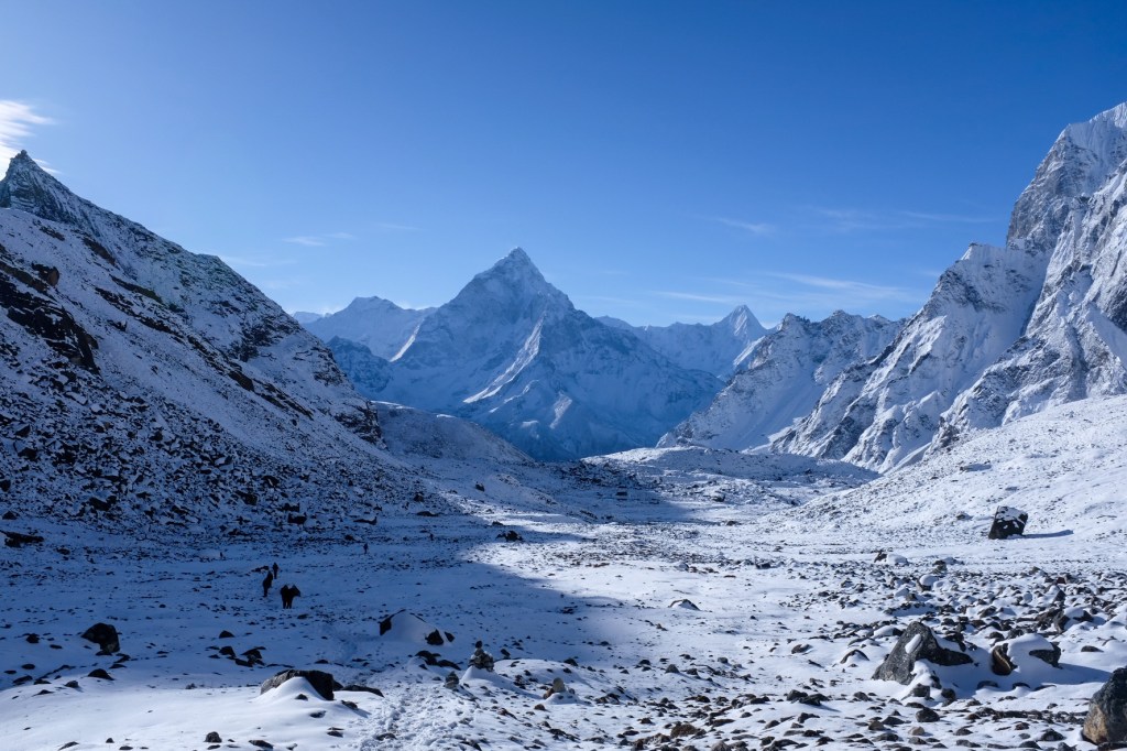
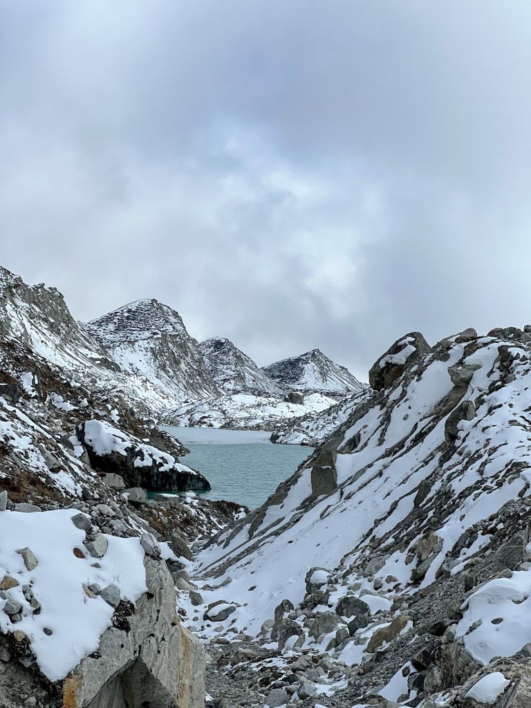
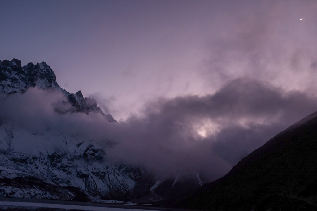
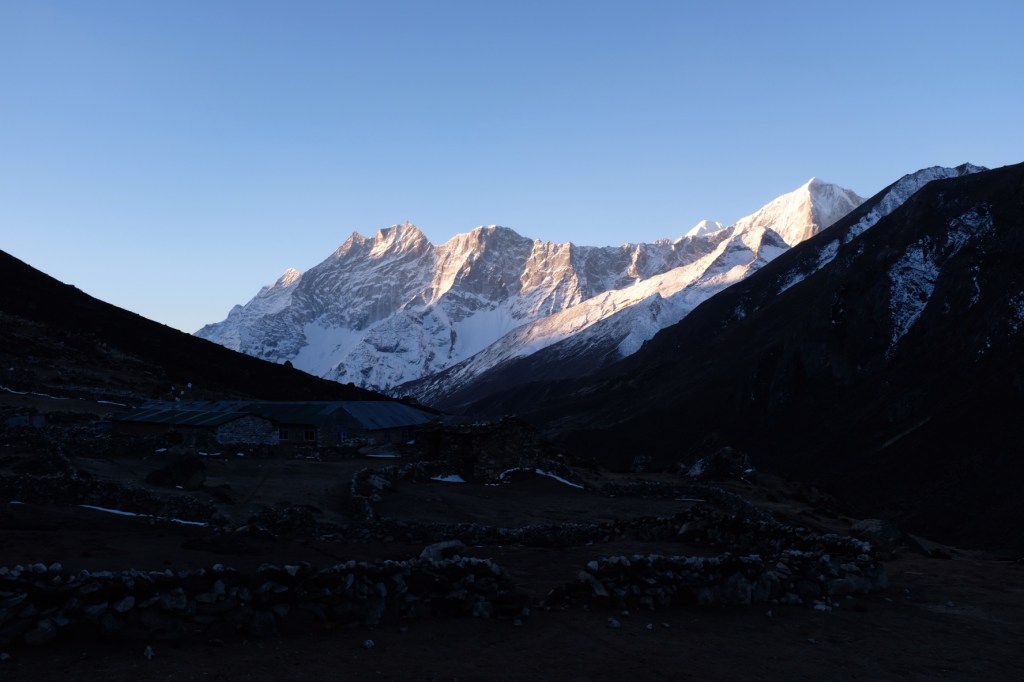
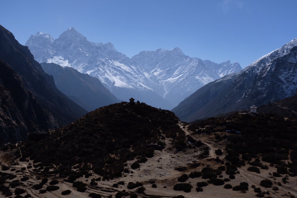
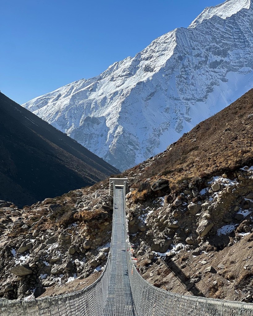
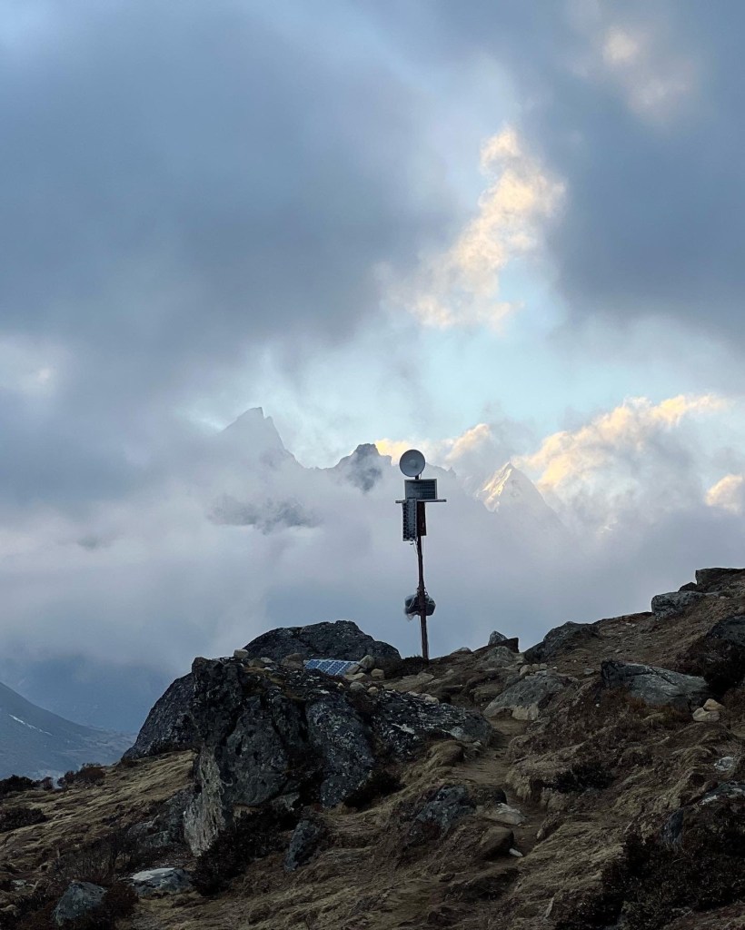
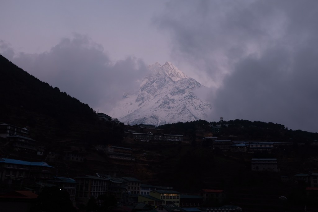
Day 8: Lobuche (4,930m.) -> Gorakshep (5,170m.) and Everest Base Camp (5,364m.)
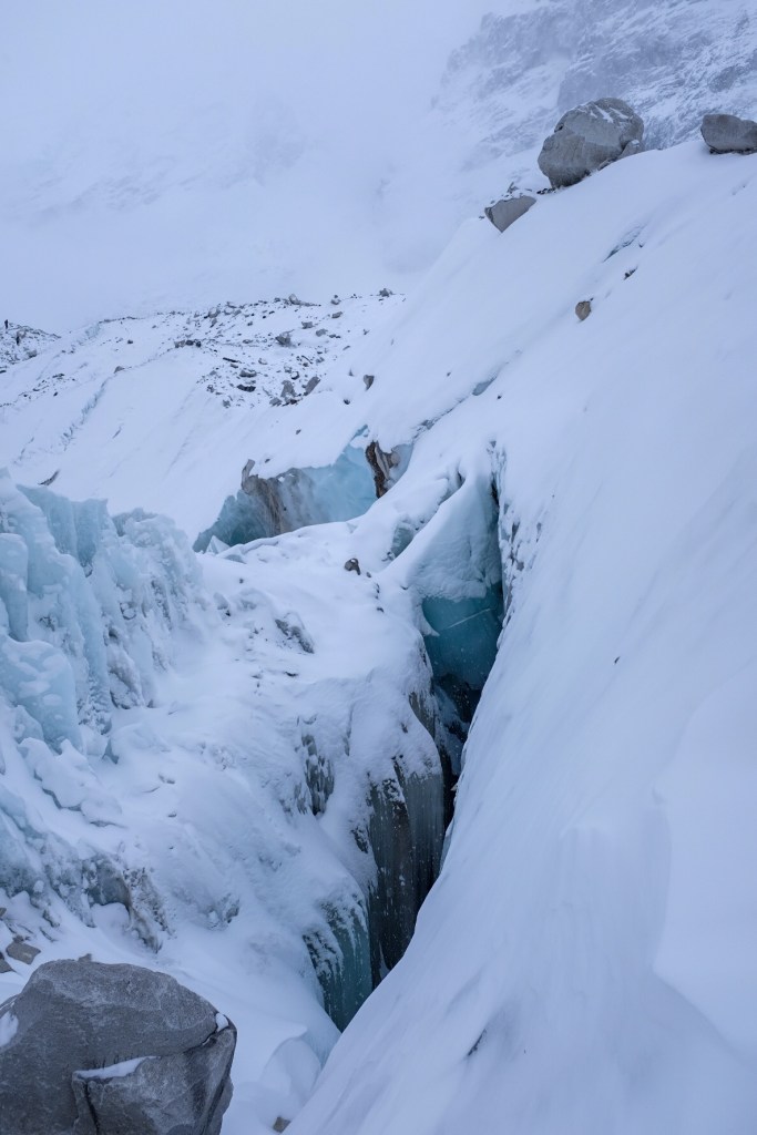
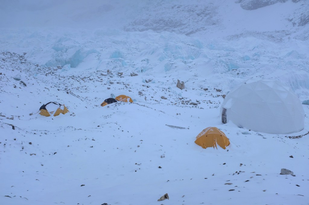
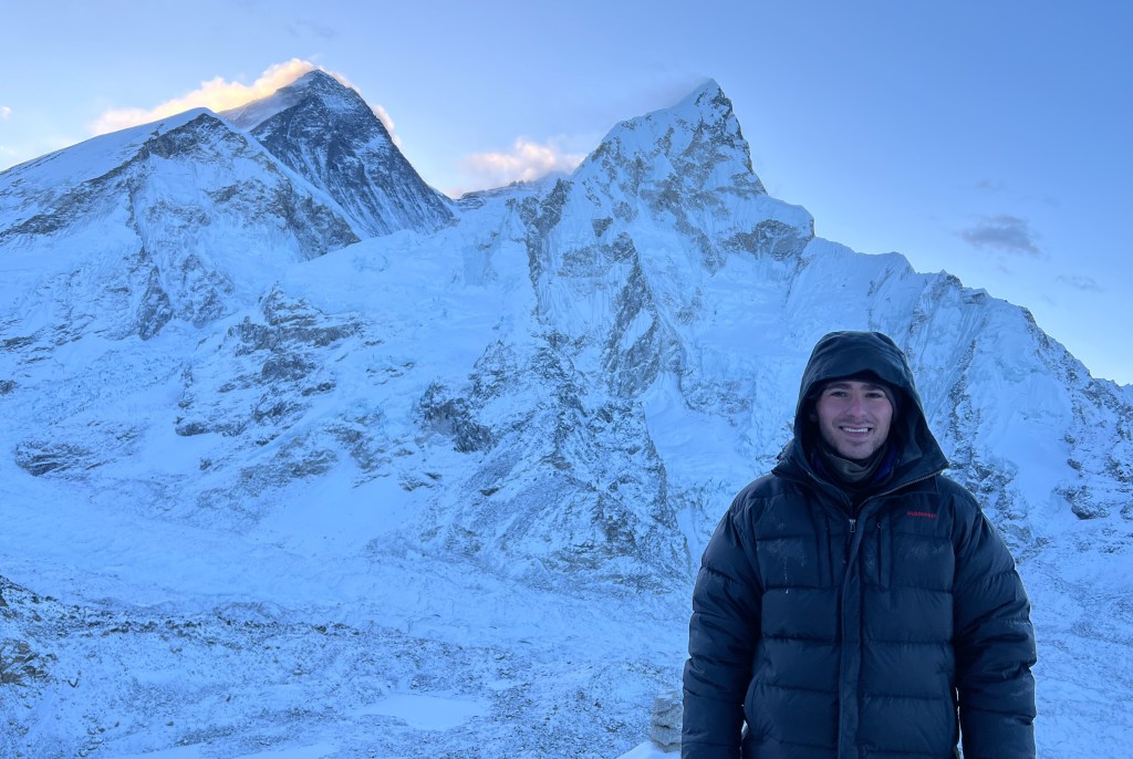
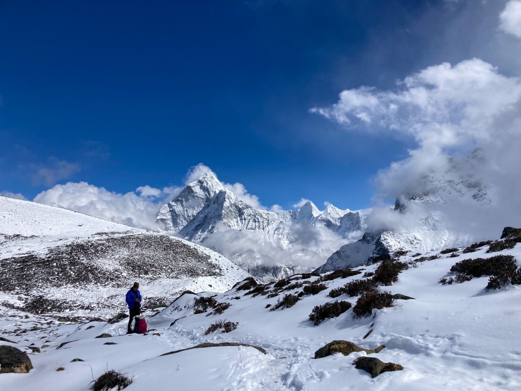
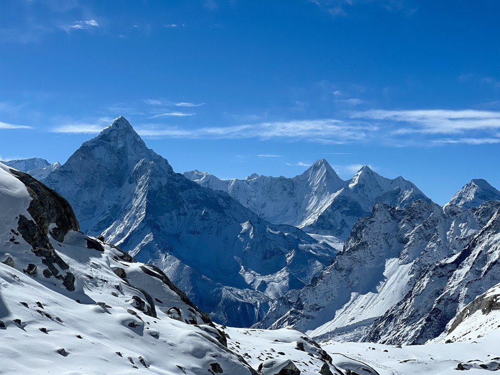
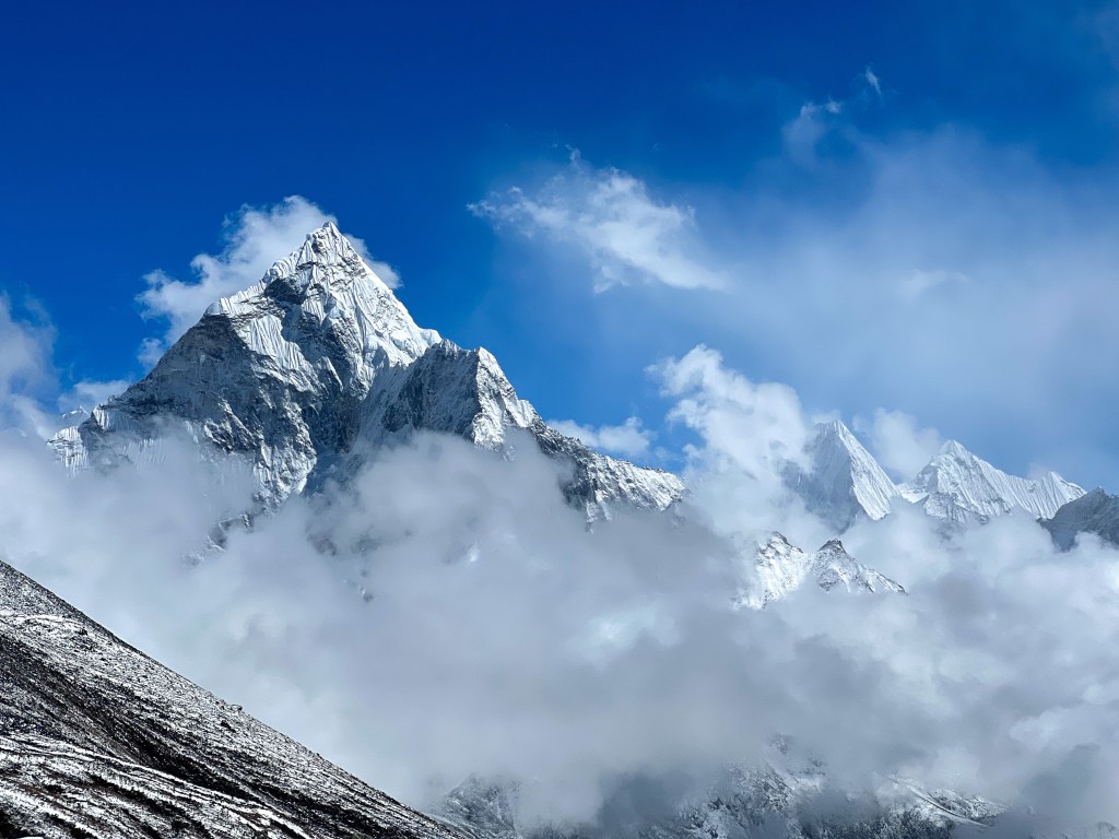
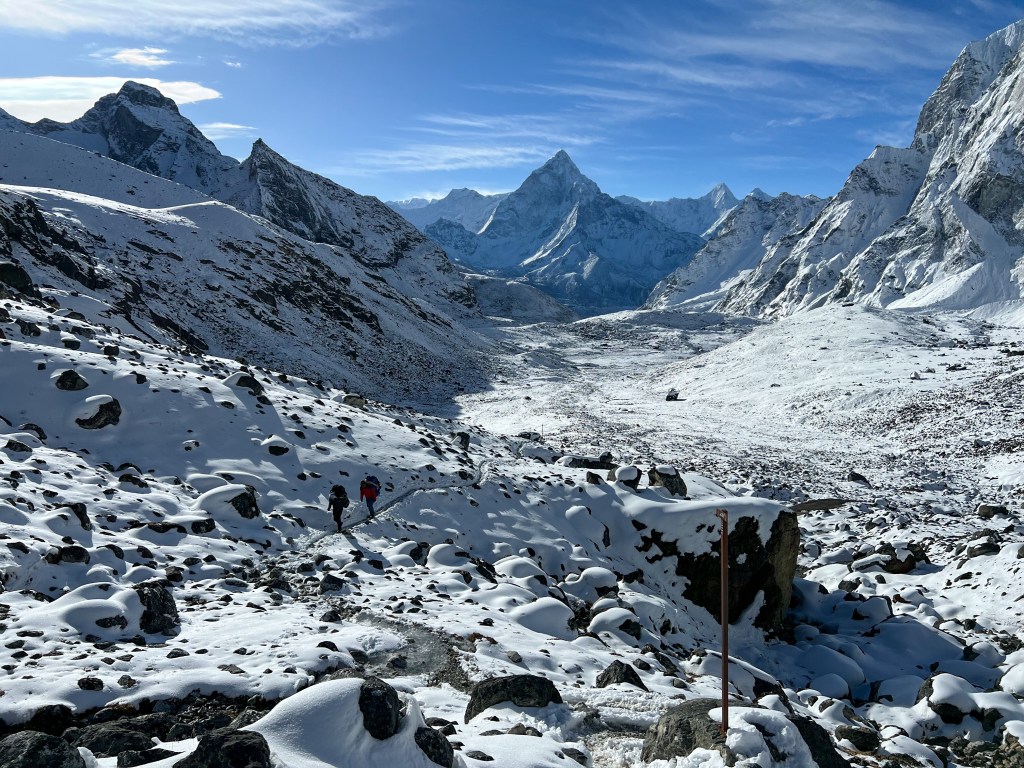
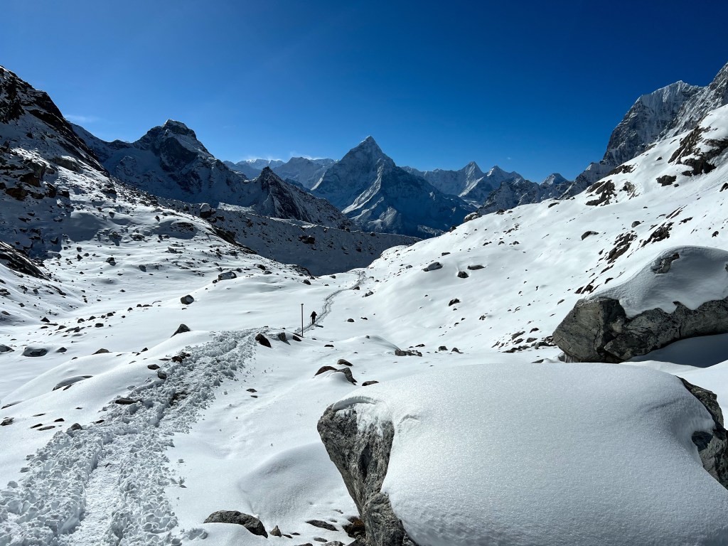
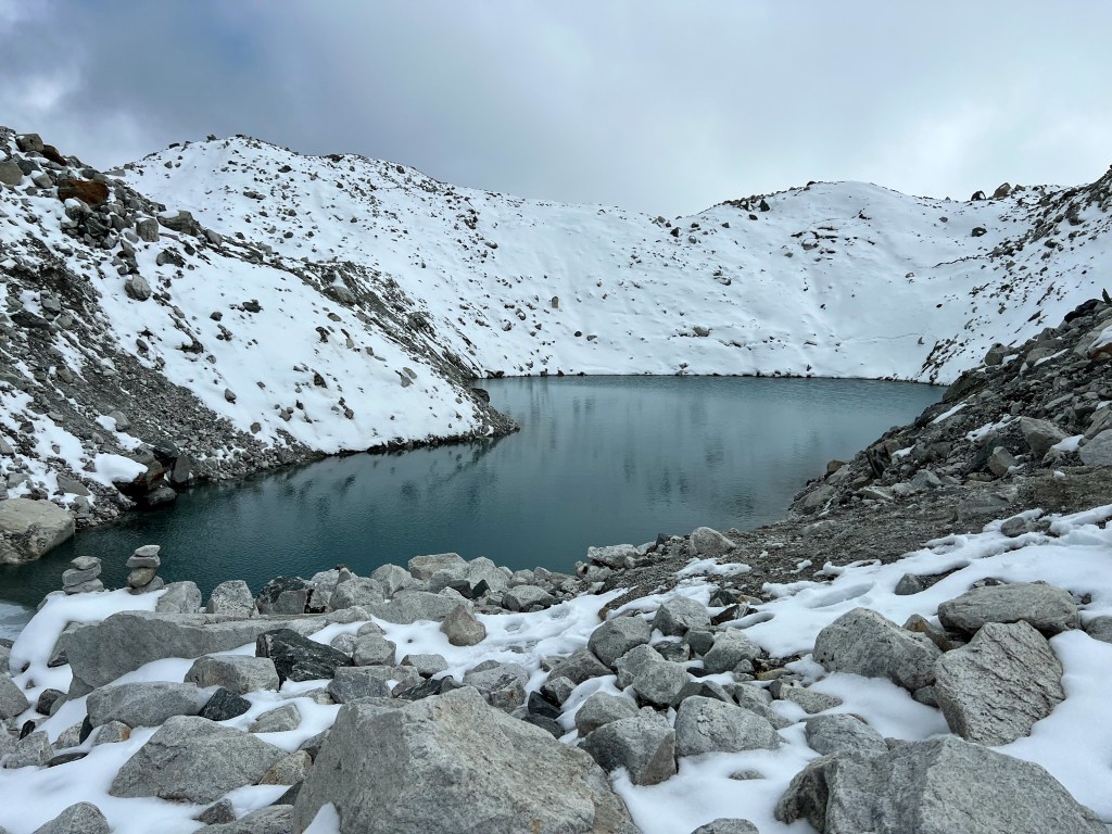
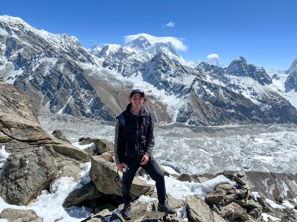
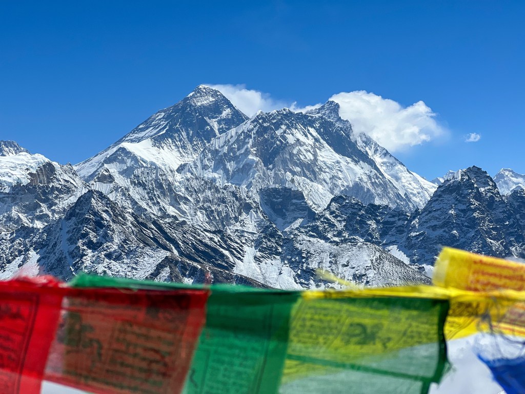
Today, Sophie and I had another early morning, starting our trek to Gorakshep at 5:30am. Unfortunately, the weather was cloudy with snow flurries, making it a bit more challenging then usual to reach the next teahouse in Gorakshep, the original base camp for Everest. Despite this, we pushed through the snow and reached the small hamlet by late morning. Dropping off our heavy gear, we headed through a calmer set of snow flurries to Everest Base Camp, a 5 hour hike there-and-back.
Arriving at EBC, we got the first taste of our achievement.
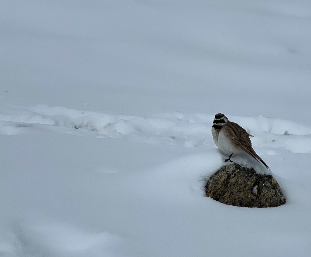

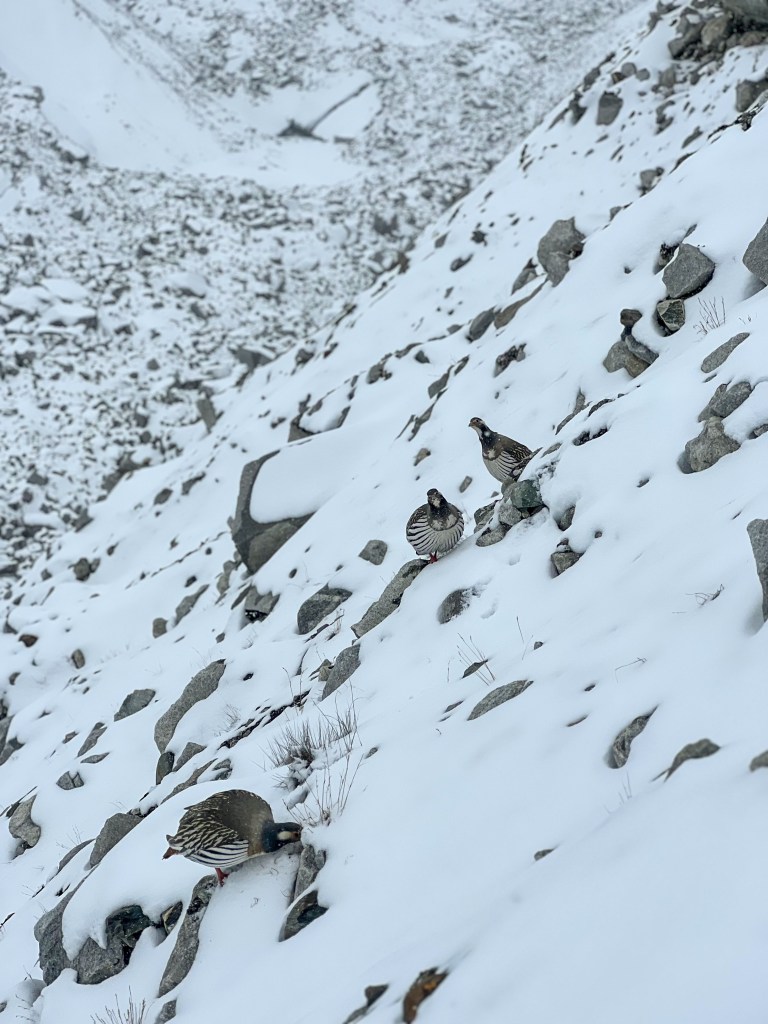
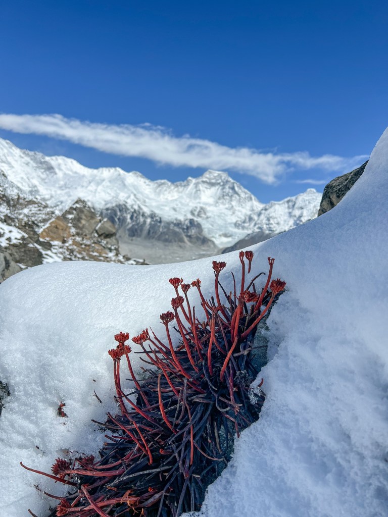
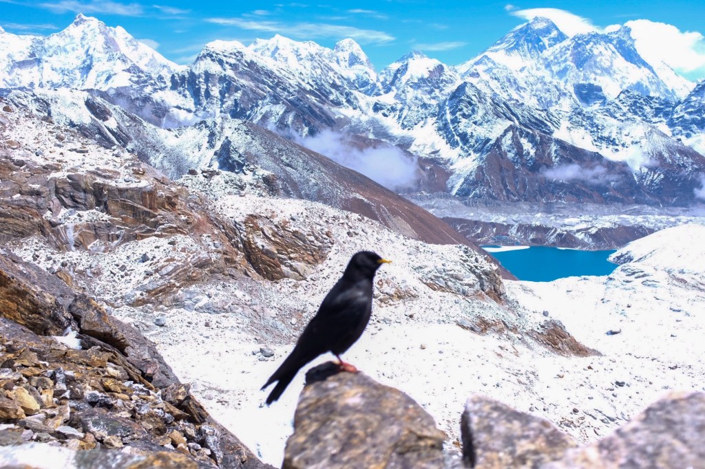
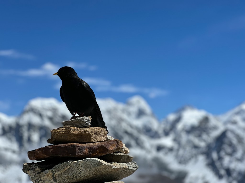
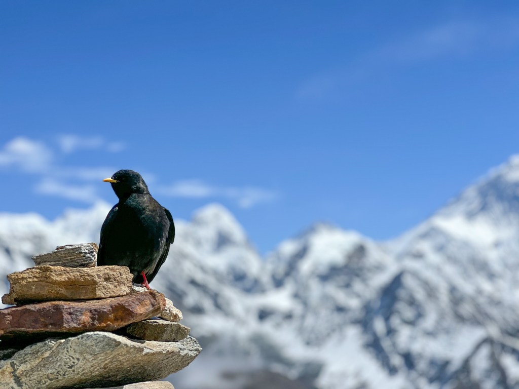
Fascinating to me was that at 5,364 meters, there were birds flourishing in the frozen tundra environment – most surprisingly, mountain hens!
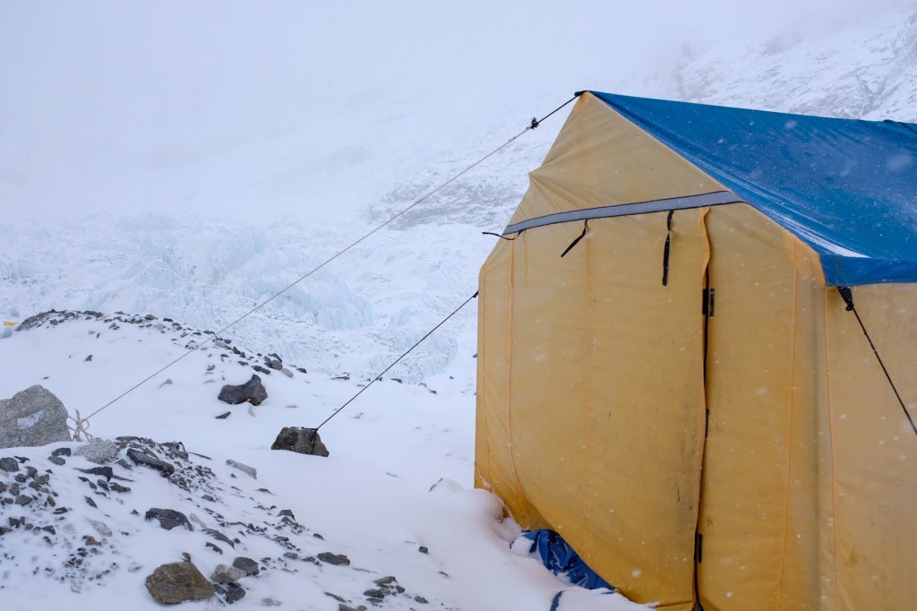
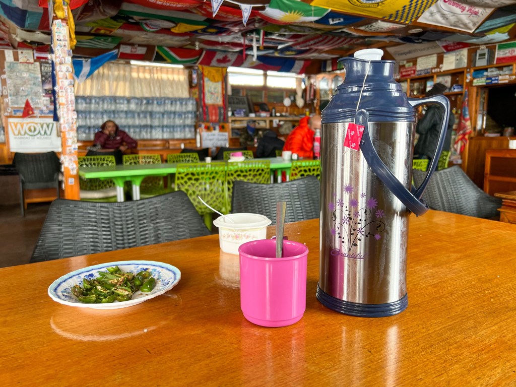
While at EBC, the snow and wind started to pick up again, so we rushed back to Gorakshep to warm up with some tea, soup, and the fire.
One of the biggest challenges of trekking at such a high altitude is trying to keep your gear (particularly shoes and socks) dry in order to prevent any cold-related injuries. By 5,000 meters, Sophie and I would dry our gear at every possible moment, freeing our cold, tired feet from the damp clenches of our waterproof boots. While we would spend hours drying our shoes, it wasn’t until we went about 2,500 meters down that they finally seemed to truly dry.
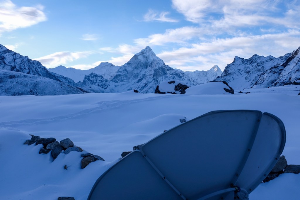
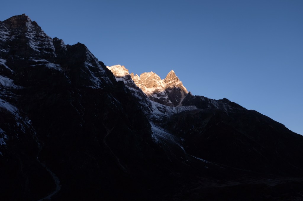
Exhausted from the day, we went to bed early and mentally prepared for what would be the coldest start to our trekking – a 2-hour 3:30am sunrise hike to Kalapatthar (5,650m.) in -2°F (-18°C) temperatures.
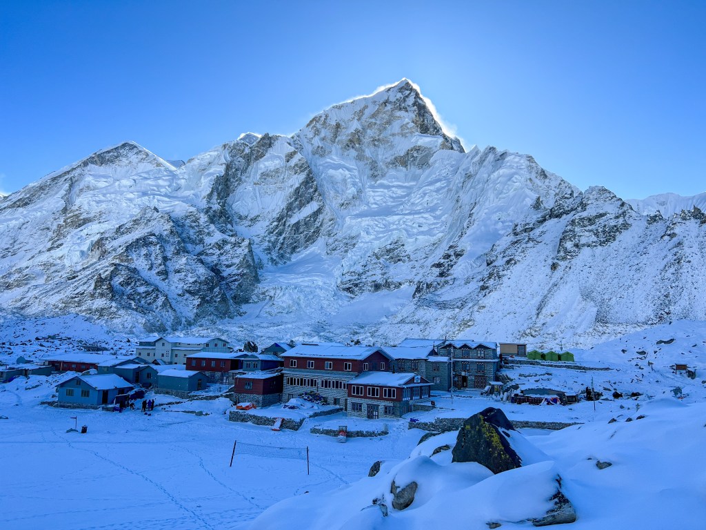
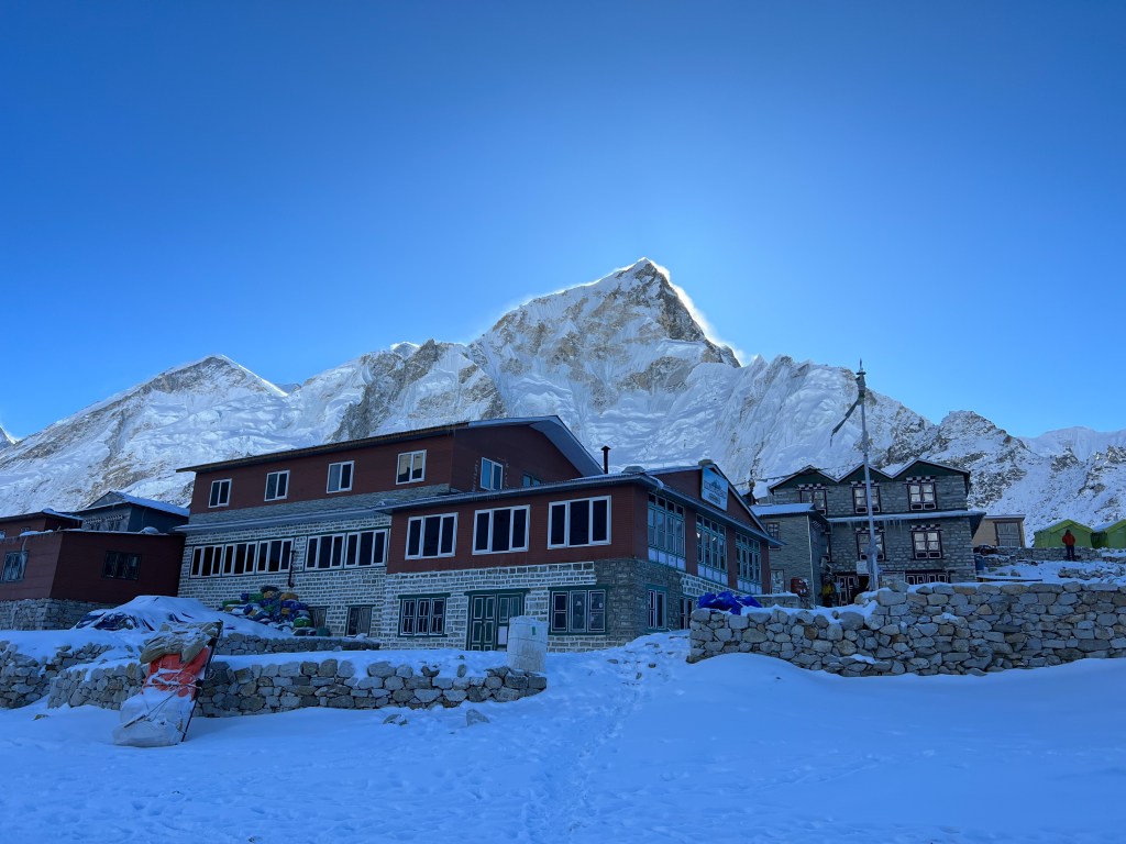
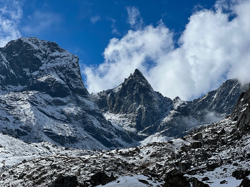
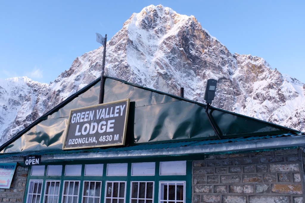
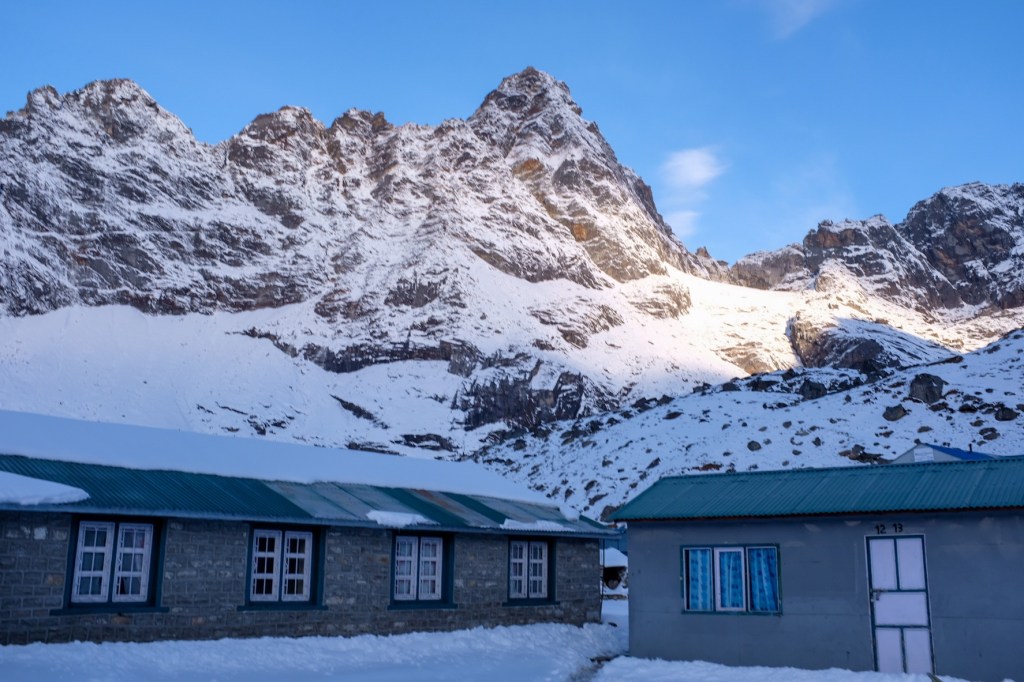
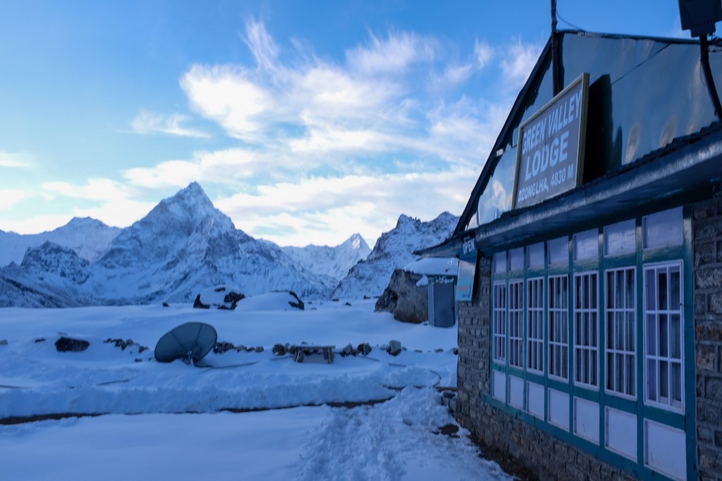
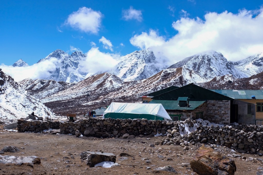
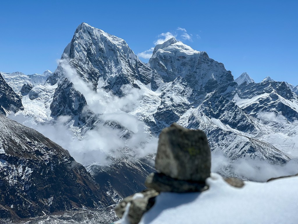
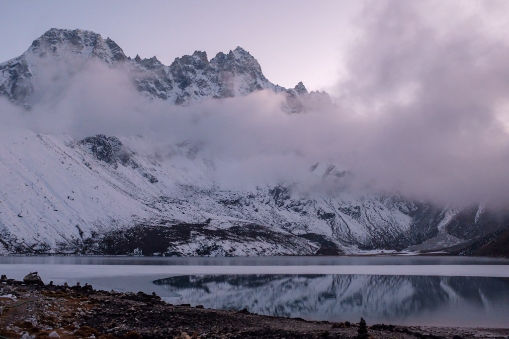
Day 9: Summiting Kalapatthar (5,650m.) and Trek from Gorakshep (5,170m.) -> Dzongla (4,620m.)
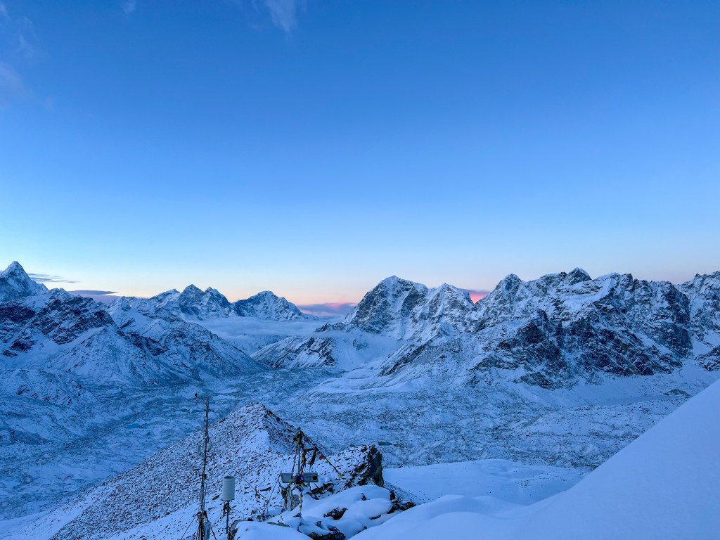
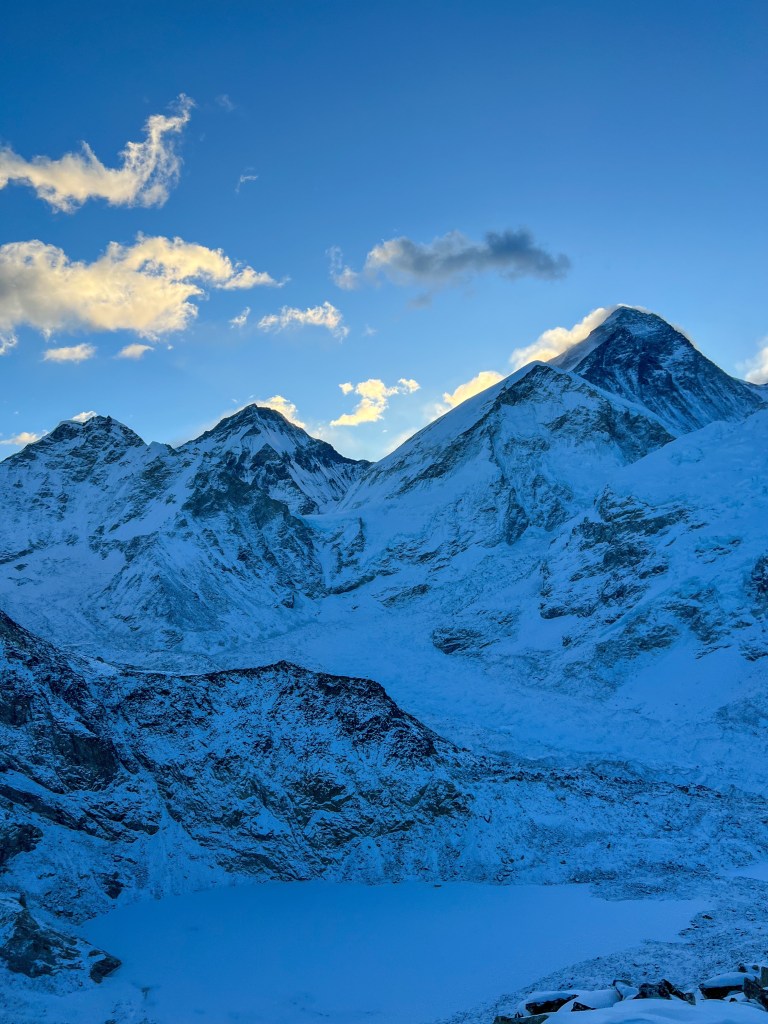
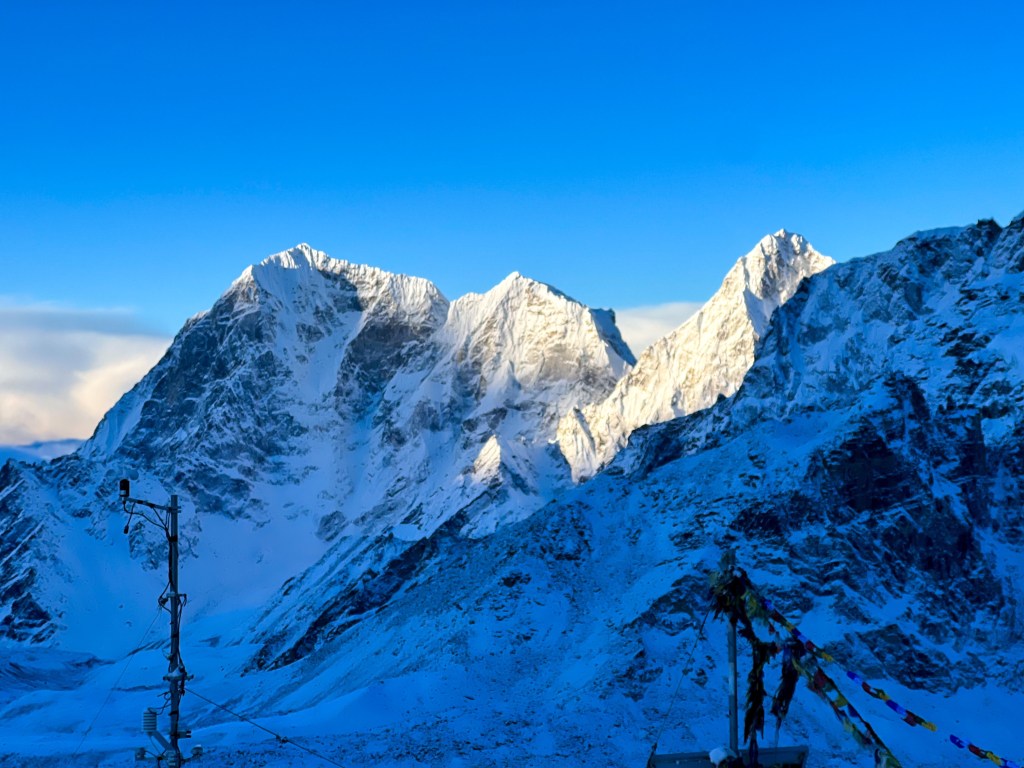
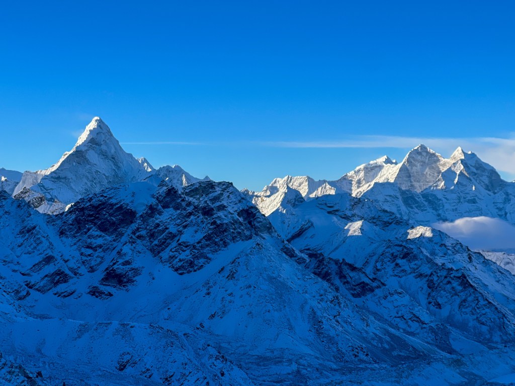
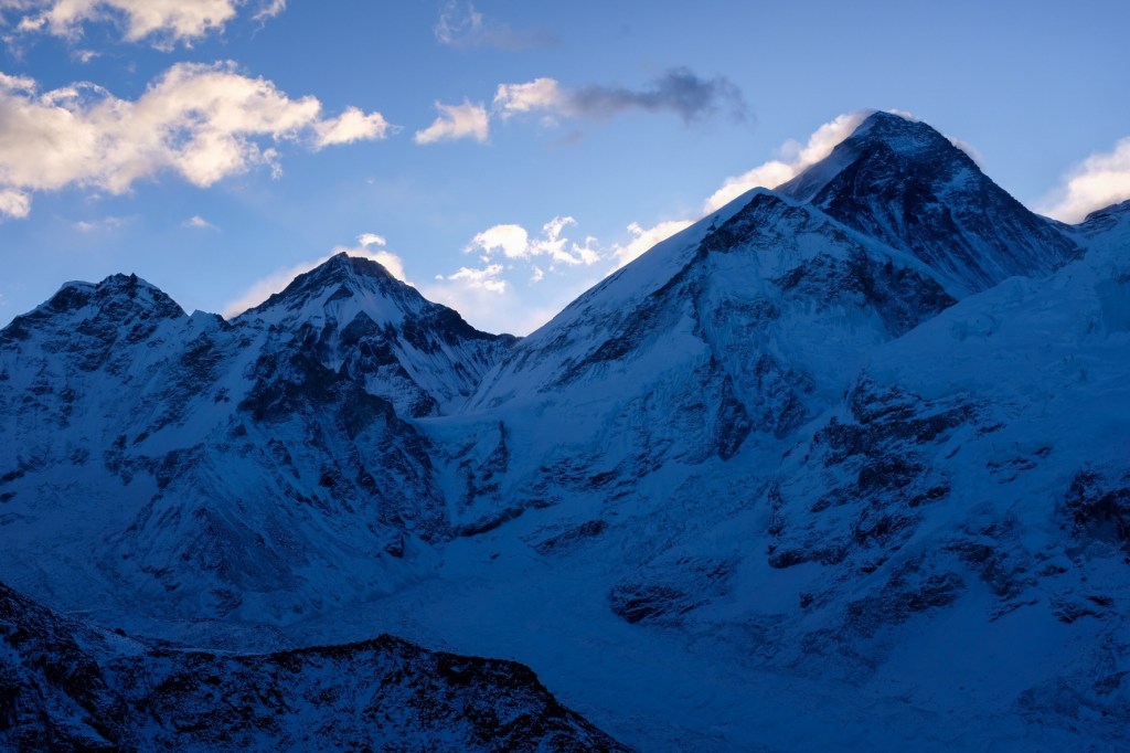
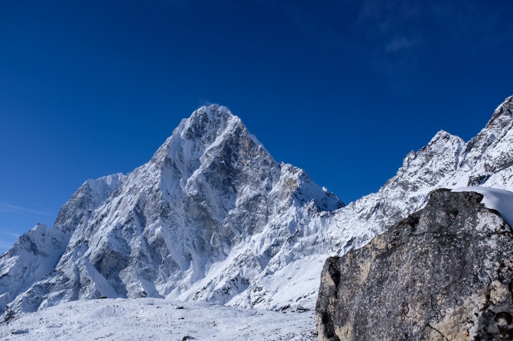
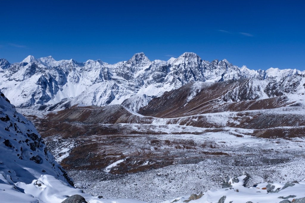
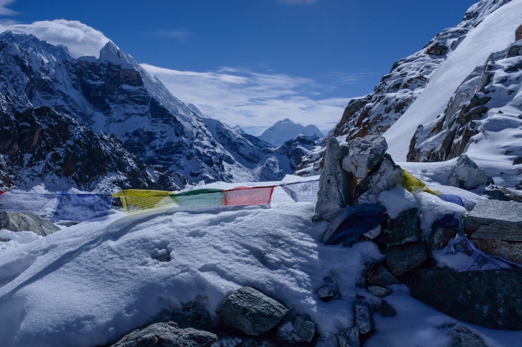
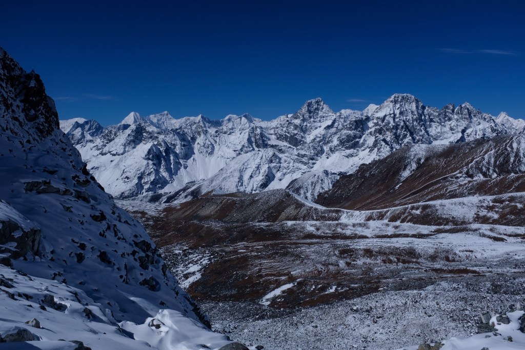
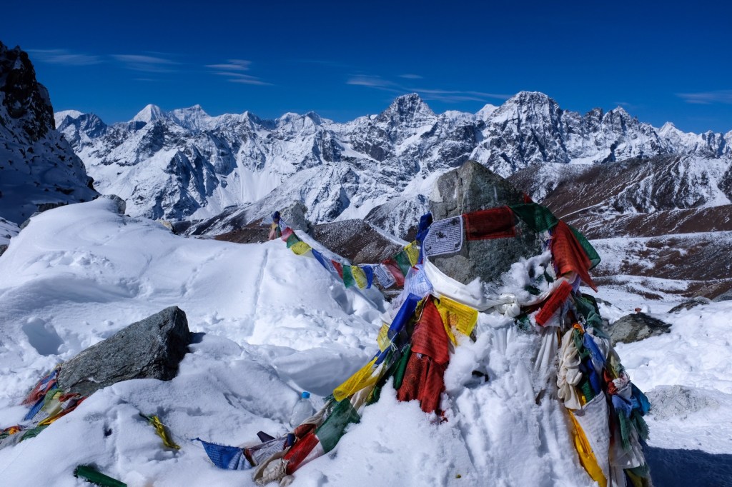
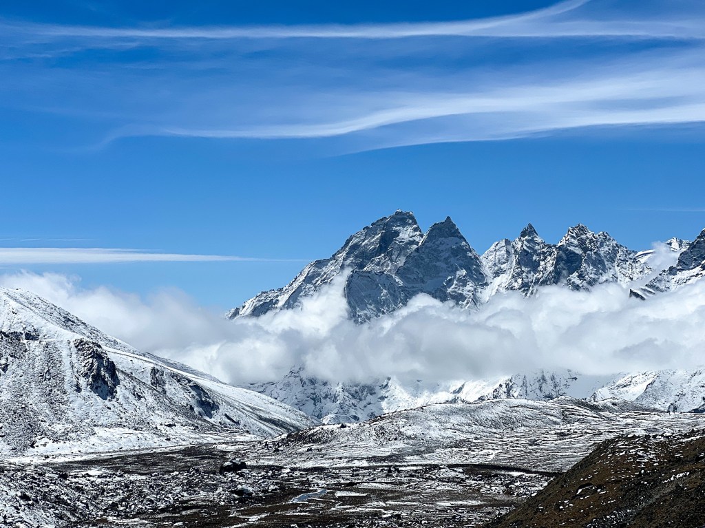
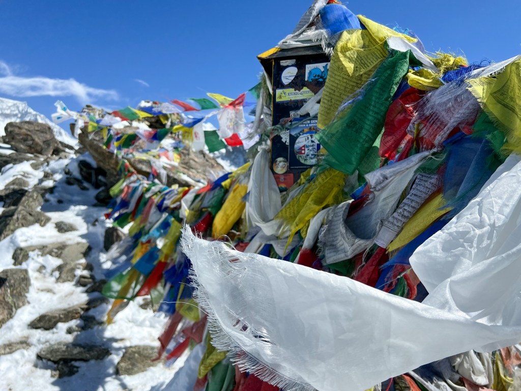
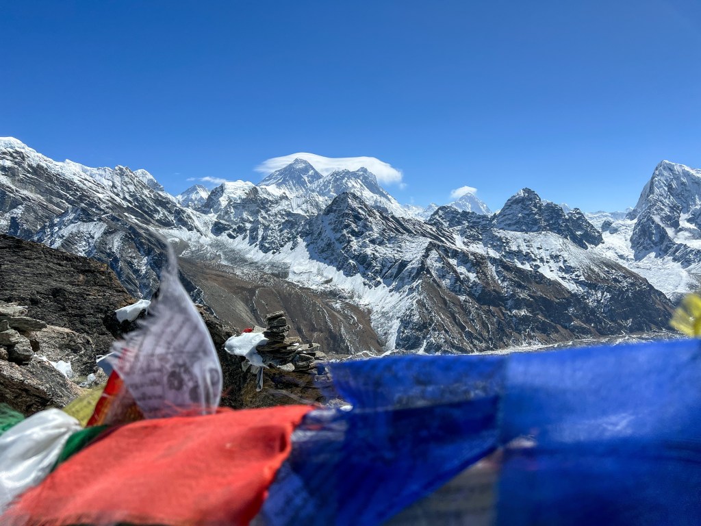
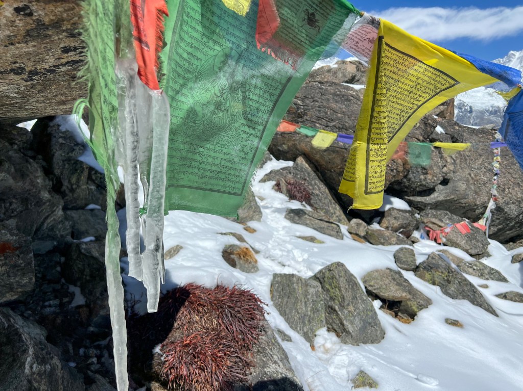
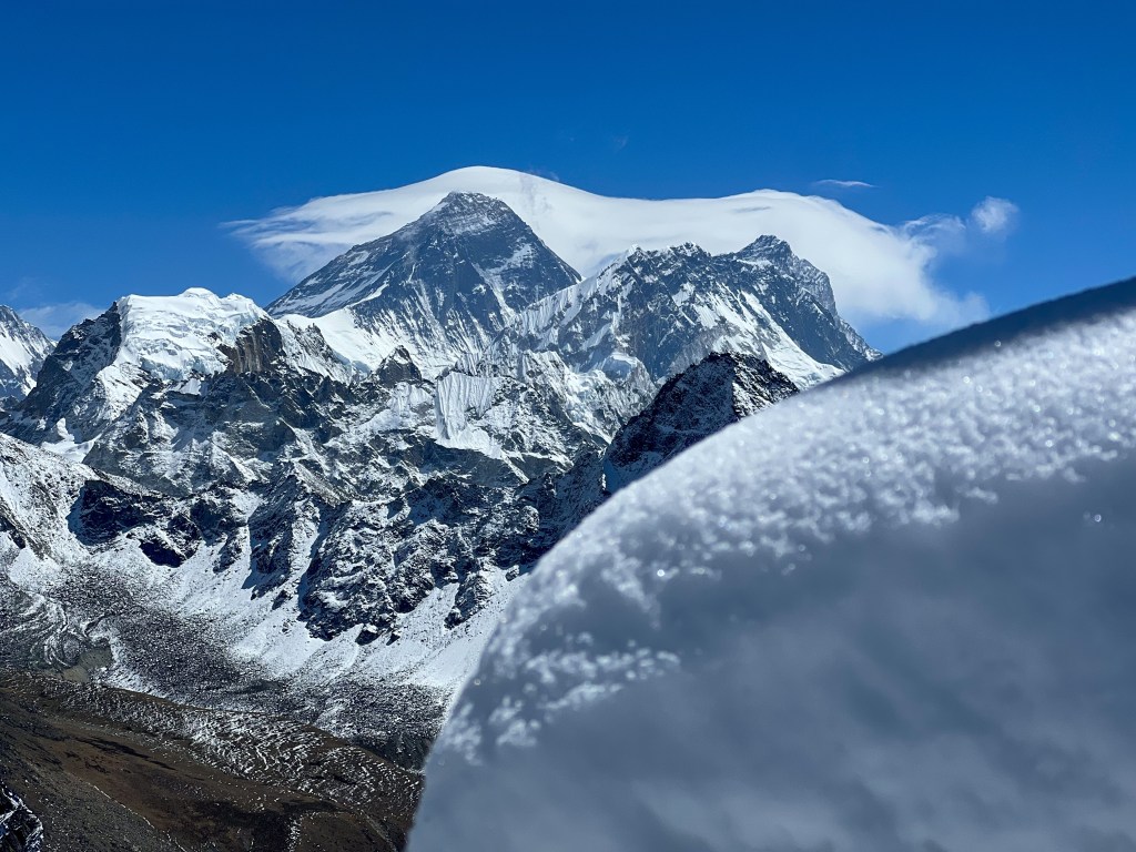
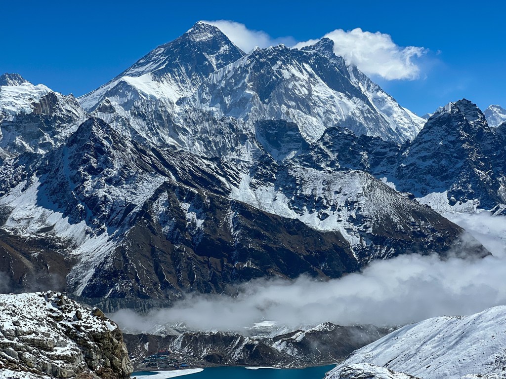
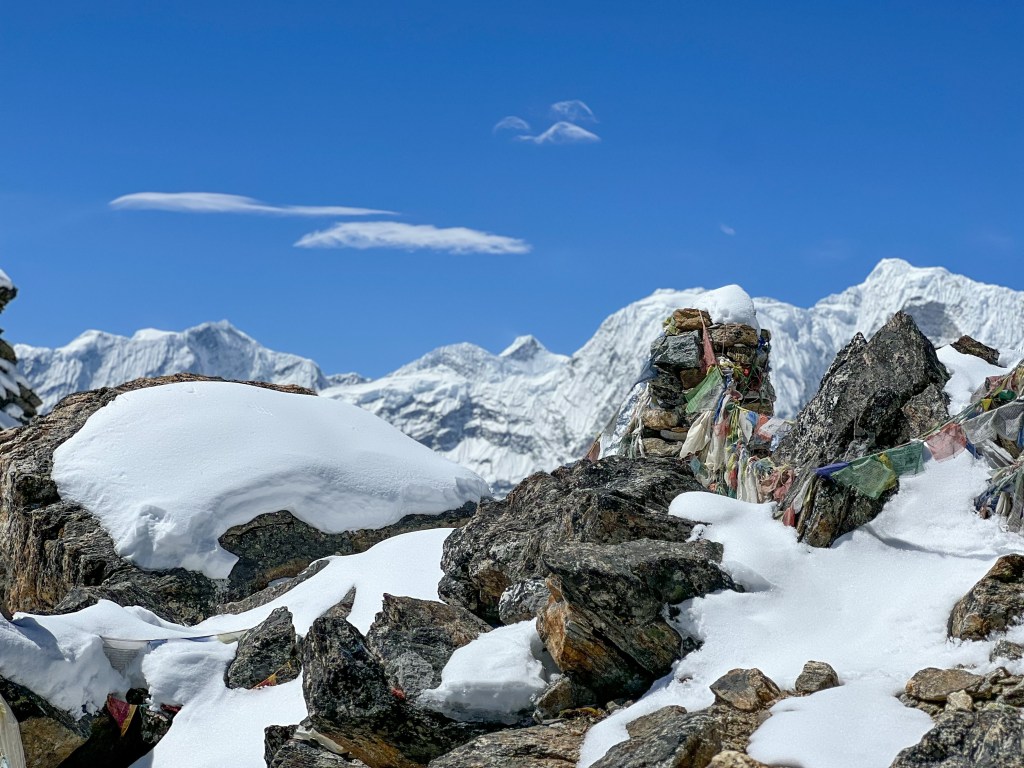
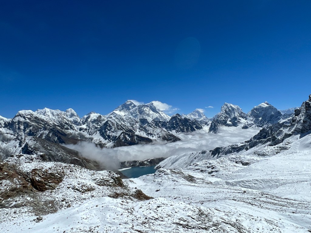
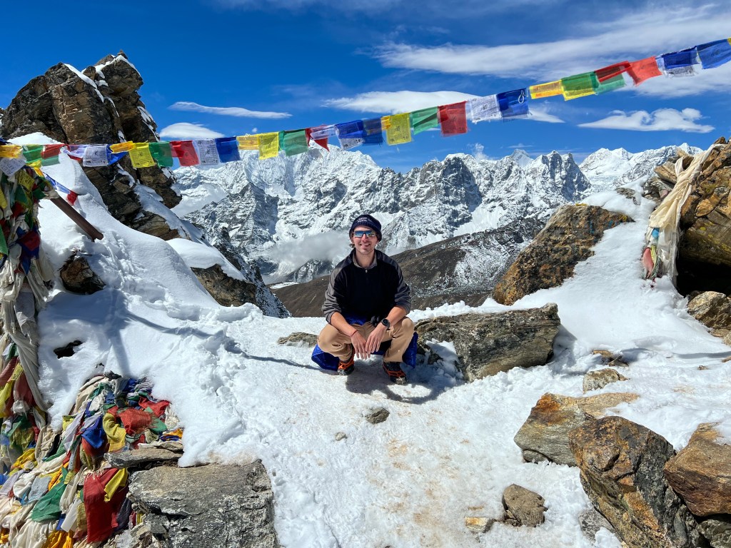
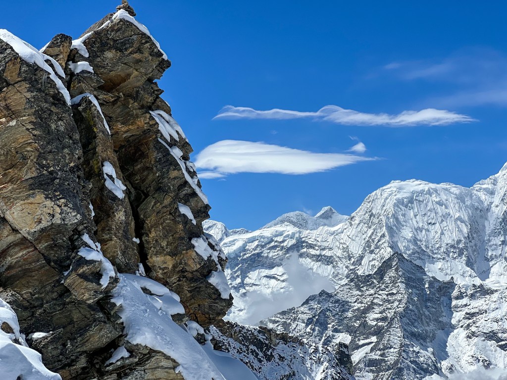
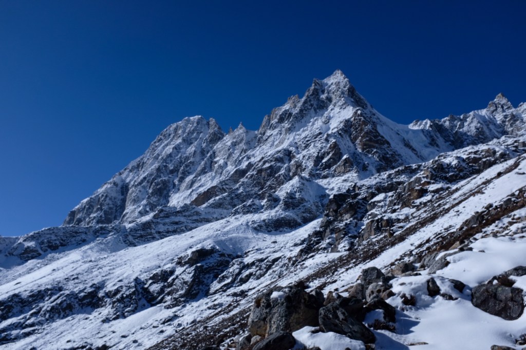
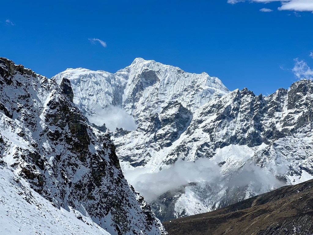
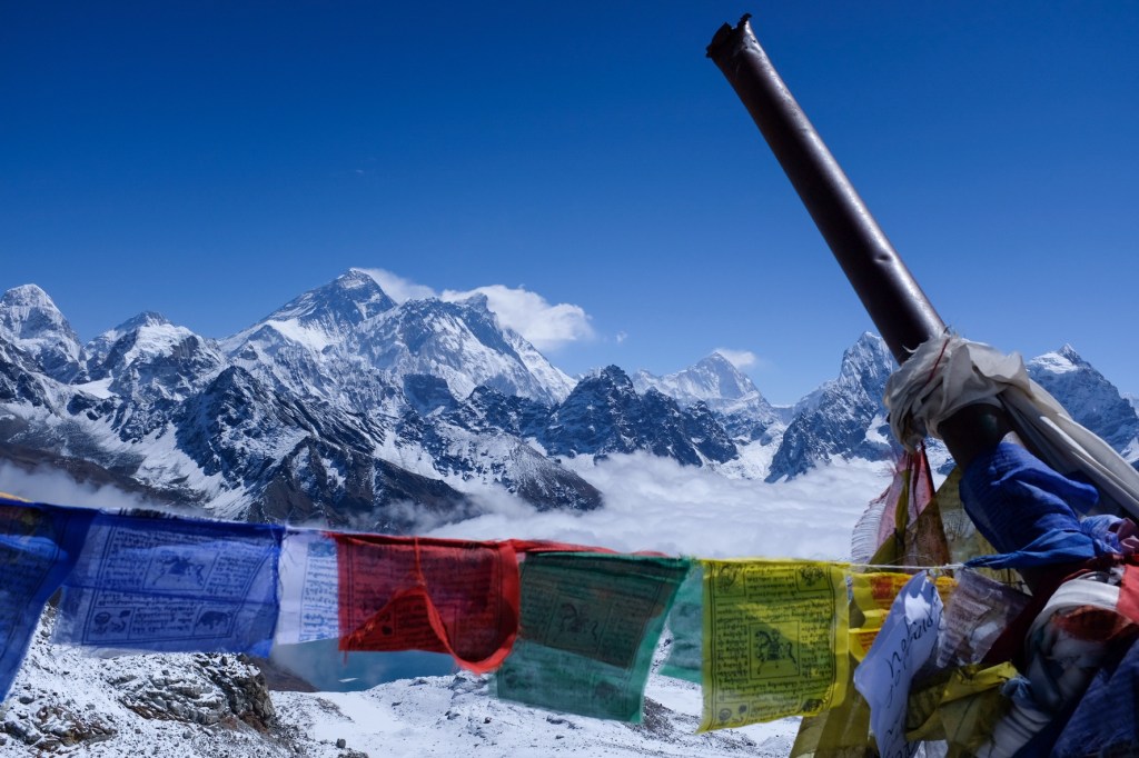
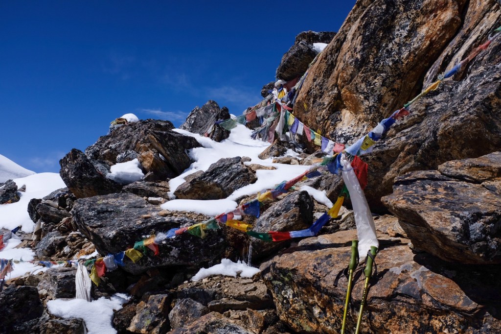
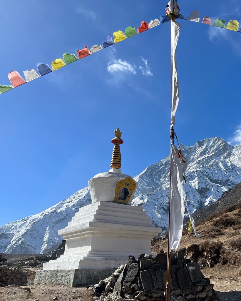
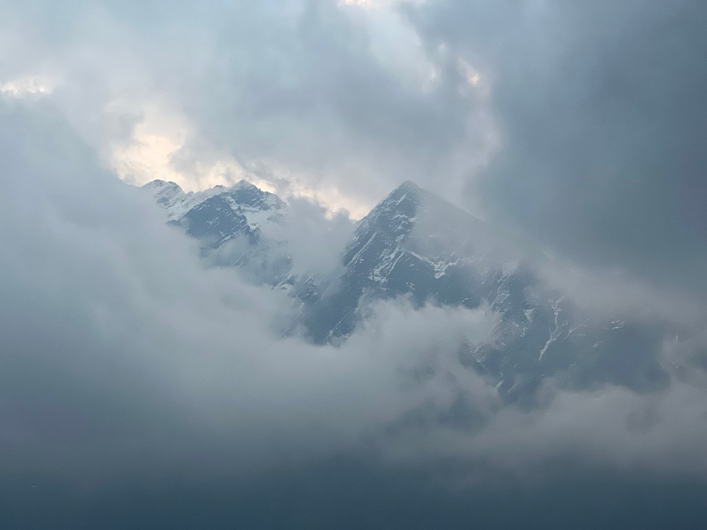
Kalapatthar is a famous landmark located on the south ridge of the Pumori mountain bearing down on Gorakshep. The ascent of Kalapatthar offers the most accessible closeup view of Everest, Nuptse, and Changtse, along with the northern flank and summit of Lhotse. The ascent begins at Gorakshep. After a brief dip to an ancient lake bed, the ascent makes its way up a series of steep switchbacks before levelling off somewhat as it traverses to the eastern side of the mountain. The trail then becomes steep once again until it reaches the wind-swept summit ridge. From there, a 80 meter scramble over boulders takes trekkers to the top, which is marked with prayer flags.
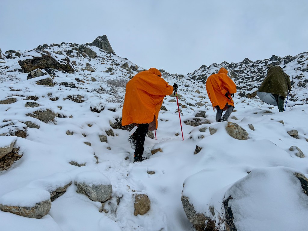
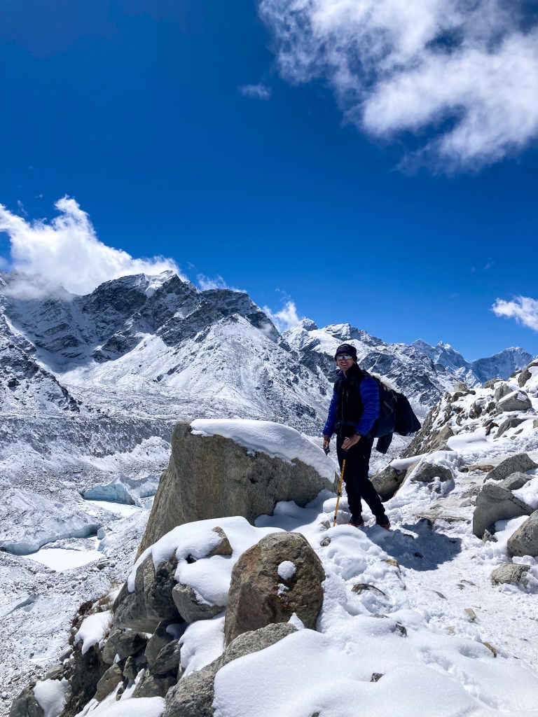
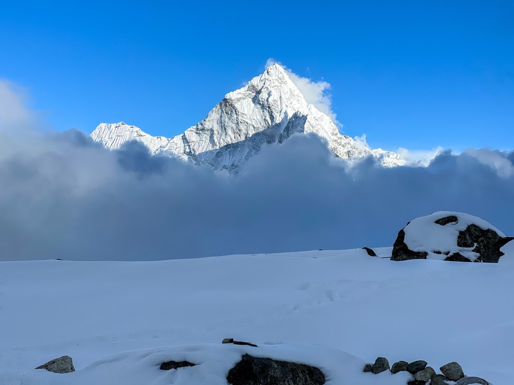
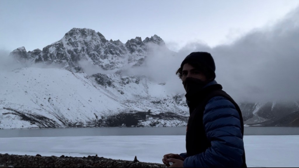
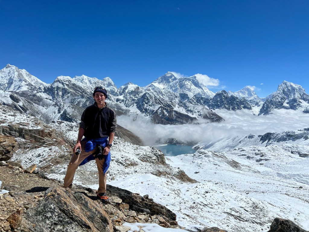
At 3:30am, Sophie and I were one of the first groups to leave Gorakshep for the Kalapatthar sunrise. Unfortunately, there was a significant obstacle we had to work around: the night before, a small snowstorm blew through the area, leaving about 6 inches of snow. To navigate this, the we and our fellow trekkers had the arduous task of clearing a new path through the snow with only small indents of former hikers to follow. This trailblazing in the dark, combined with the freezing temperatures (-5°F windchill), was time-consuming and very hard on the body. To make things more daunting, our work was regularly interrupted by thundering noises of small, far-off, avalanches. While Sophie and I knew the level of snowfall and our ascent could not translate to avalanche conditions where we were, it was still a daunting reminder of the dangers surrounding us. Over the first hour and a half, Sophie and I saw group after group stop or turn back, too exhausted or cold to continue. By the time we reached the 80 meter scramble to the top, we were the last one’s left, faced with constructing a clear path through the snow covered rocks to the peak. This is where our physical strength and mental fortitude (along with a few hand warmers) came in handy. Pressed for time, I quickly dug my feet into the snow, searching for a safe path up to the top. With techniques I learned from some guides I met a few days prior, I used my poles to test each step to ensure it was sturdy before meticulously putting the weight of my body onto snowy patch. Meter-by-meter, I traversed the rocks and reached the peak with 5 minutes to spare before the sunrise. I am not exaggerating when I say I have never been so cold in my life – but, armed with the warmth of my exertion, some adrenaline, and our hand warmers, we persevered, and were rewarded with some of the most spectacular views of our lives. Little did we know, this was just a taste of the views to come.
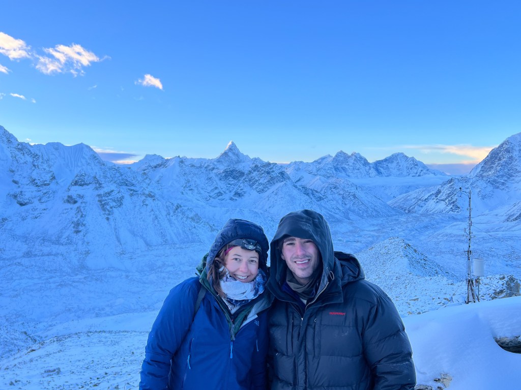
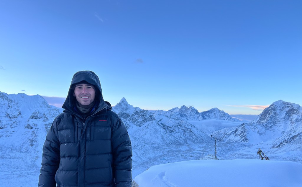
It was in this moment that I knew I found something special in these mountains – or that exploring the Himalayas helped discover something in me. While the cold, altitude, and hiking was immensely challenging, I felt nothing but joy in tackling and overcoming it. I don’t feel bothered by the harsh environment – instead, it makes me feel oddly at peace.
After about 45 minutes, when new batches of trekkers threatened to disrupt our tranquil privacy on the top of Kalapatthar, Sophie and I decided it was time to head back to Gorakshep, eat some breakfast, and warm up our extremities. We still had a long 6 hour trek to go before our day was done.
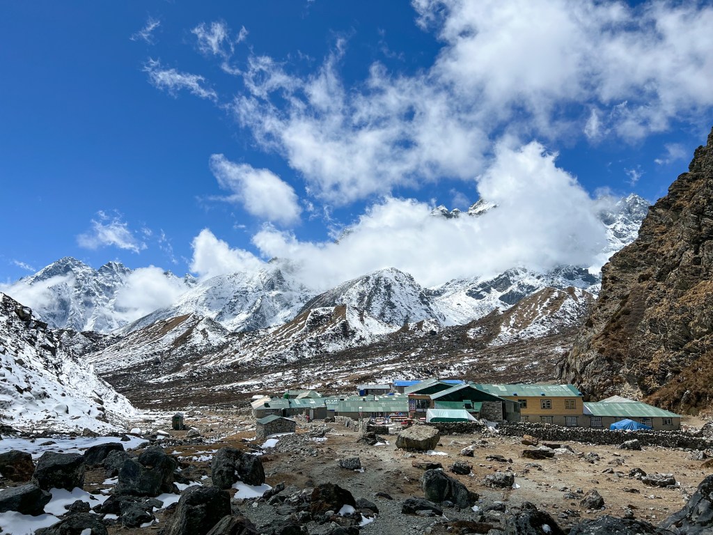
After taking a couple hours to recover, Sophie and I started the trek down to Dzongla, which would be the starting point for our 8 hour trek through the Cholu Pass the next day. How we had the energy to continue – I don’t know – but I’m grateful for whatever mental/physical support was there to help our weary bodies continue. Maybe it was the promise of a rest day in Gokyo after the pass? Or maybe it was the promise of snicker rolls and Dal Bhat at our next tea house (food was often a strong motivator).
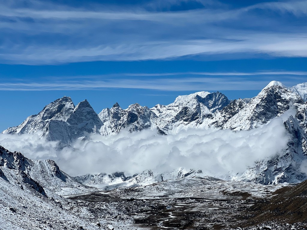
Fortunately, the clear skies continued for most of the day and the downhill trot to Dughla was a pleasant treat after so many days of uphill battles. We were officially acclimatized to 5,650 meters, and we could feel the newfound strength in our bodies.
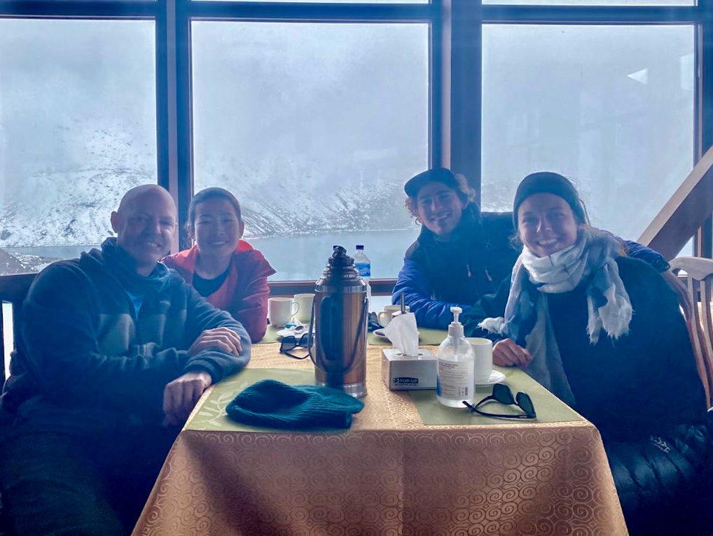
On our hike down to Drunghla, we met an American couple, David (an ER doctor) and Tran (a MRI tech). When we first them, they seemed a bit drained – initially planning on doing the Cholu Pass to Gokyo, they were beginning to second-10 their itinerary, contemplating whether or not it was time to head back. As we were chatting with them, intentionally or not, Sophie and I began talking up how incredible we heard the Cholu Pass and Gokyo was – “you have to come with us!” we said, “its only a couple more hard days and the rewards had to be worth it”, “you already did the hard part of the trek! Now you can enjoy the fruits of your high-altitude acclimatization”. I think, in part, this was Sophie and me trying to hype our own exhausted bodies up after 9 long days, but somehow, we convinced David and Tran to come have lunch with us where we could discuss it further.
A few coffees and a couple plates of fried potatoes later, we convinced them to join us to the Cholu Pass. Together, we finished the last couple hours of the hike to Dunghla and rest up for the long day tomorrow.
Later on in our trek, after we became quite close, they told us how happy they were that we pushed them to continue – that meant a lot to me.
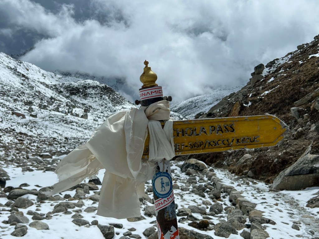
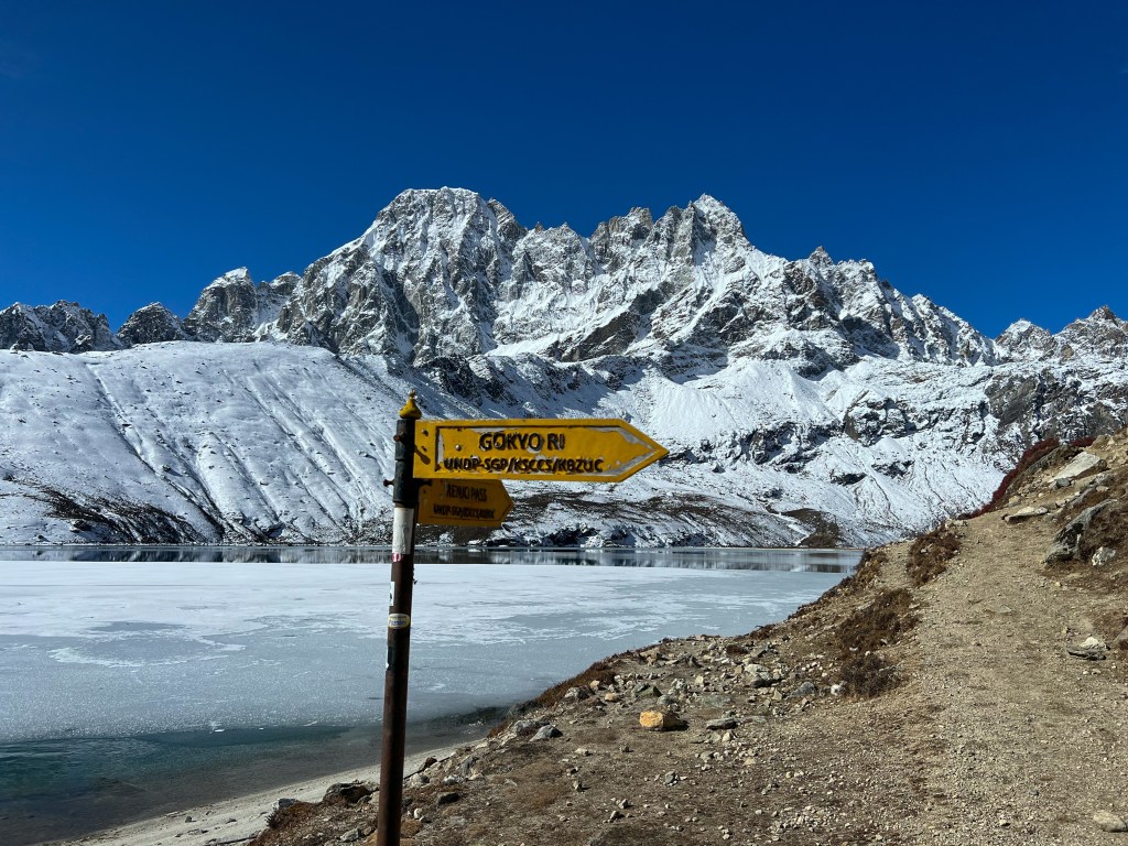
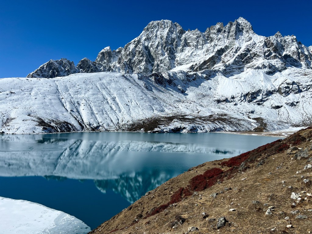
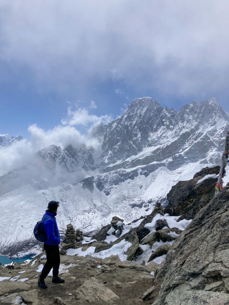
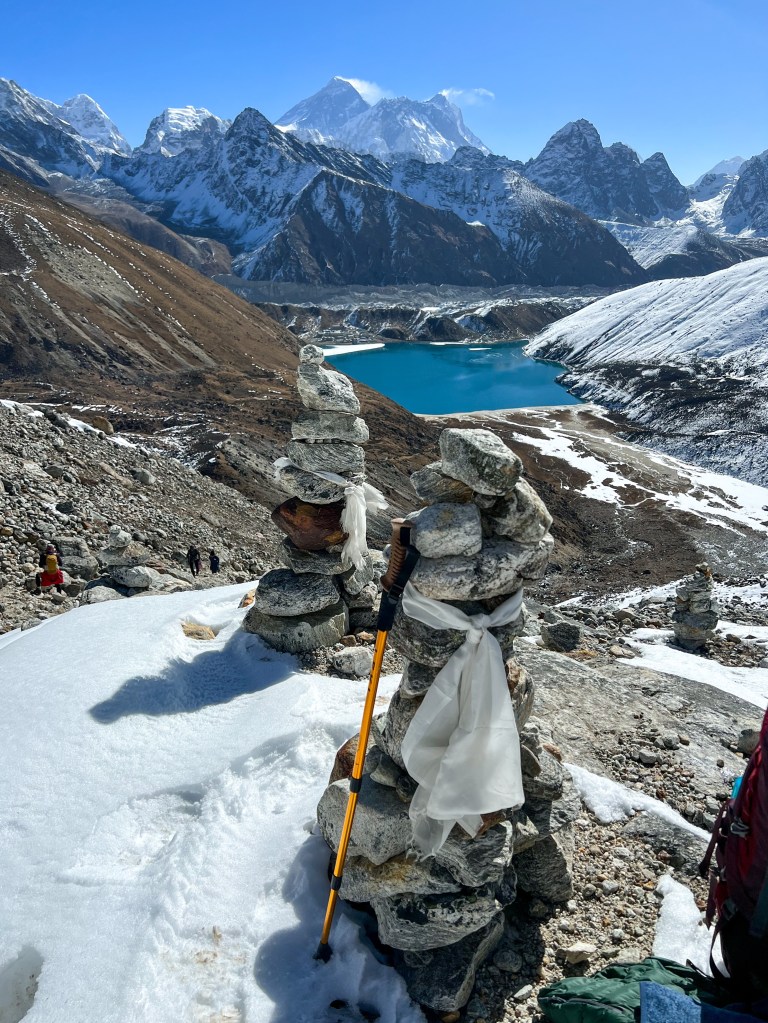
Day 10: Dzongla (4,830m.) -> Chola Pass Peak (5,420m.) -> Gokyo (4,750m.)
Another early morning, we woke up at 6:00, ate breakfast, and was out the door at 6:30 to hike the Chola Pass
The 3 Passes: Kongma La, Cho La, and Renjo La, are mountain passes that connect India & Nepal to China’s Tibet Autonomous region. Mountain passes are traditionally known as navigable routes through mountain ranges. Throughout history, these passes played an important role in migration, trade and settlement between Tibet, India, and Nepal. Nowadays, the passes are still used as trade routes, but are most commonly used as peaks for trekkers to get mountain view’s found on 2 sides of a mountain range.
Sophie and I initially planned to do all three of the passes, but decided against doing the first one, Kongma La pass, due to unsafe weather conditions. So, by the time we got to Cho La pass, we were sufficiently excited to experience the dual range view it would offer. Good thing too, because this day would be one of the most challenging treks yet.
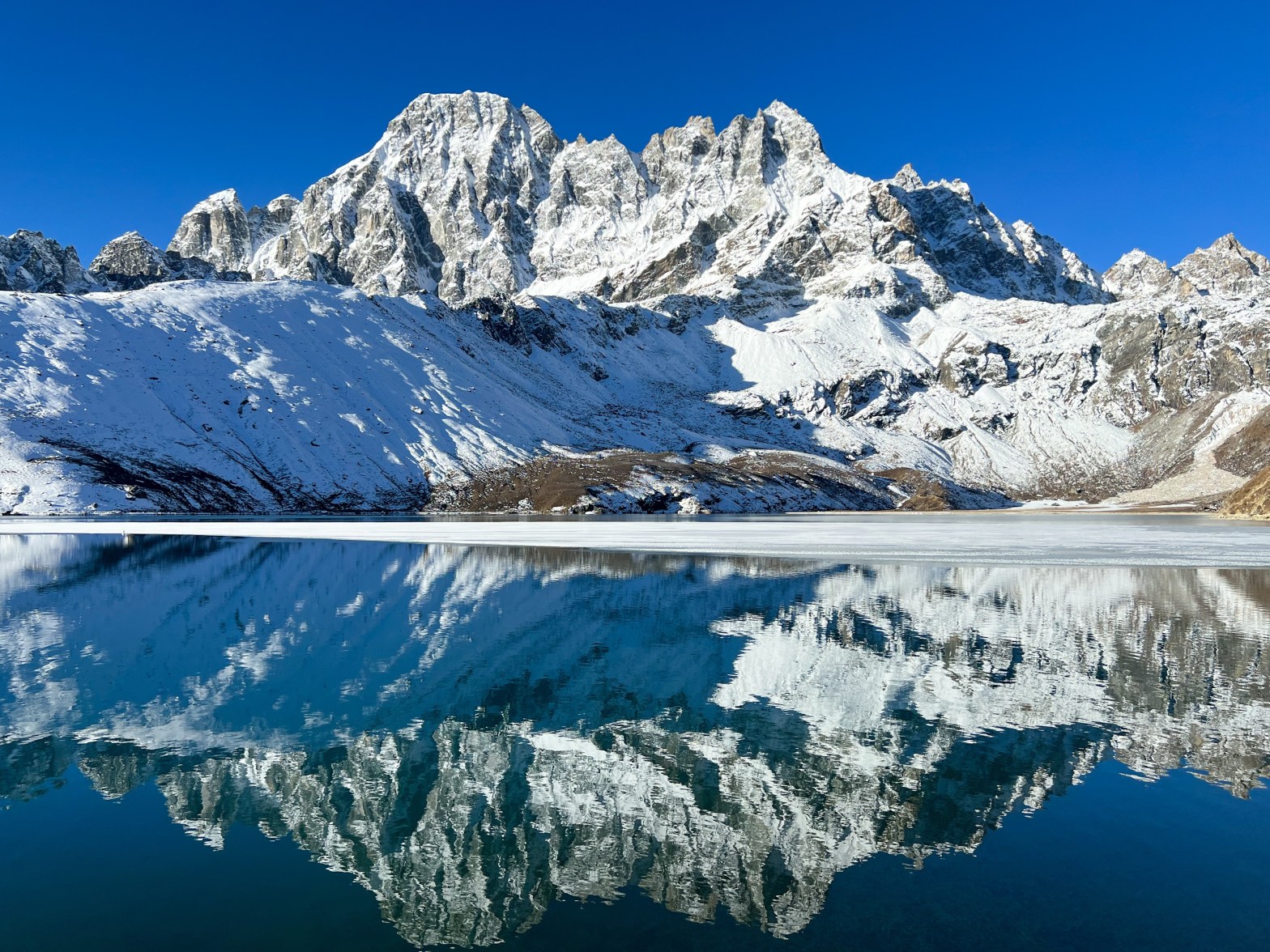
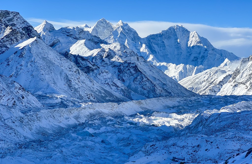
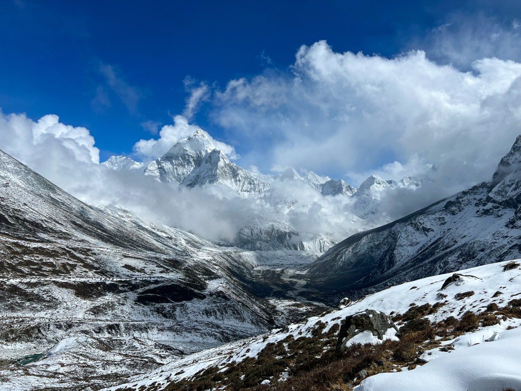
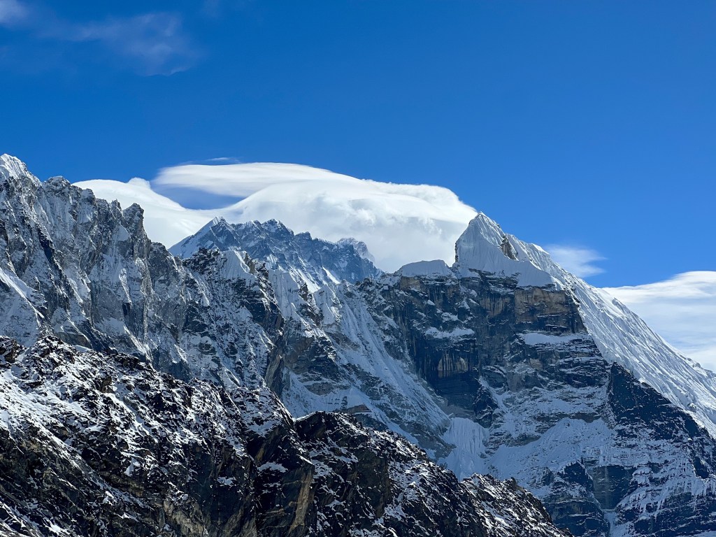
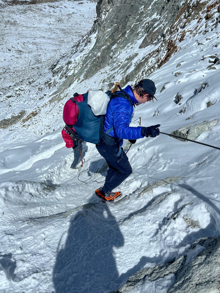
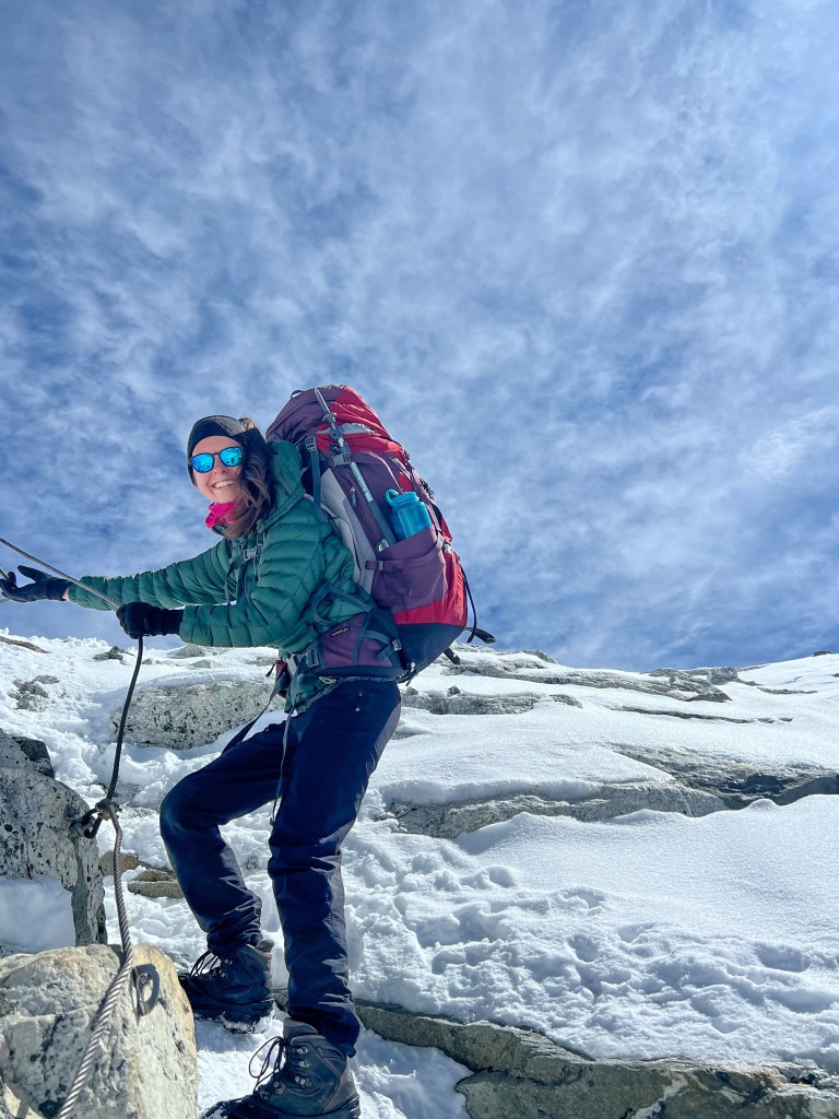
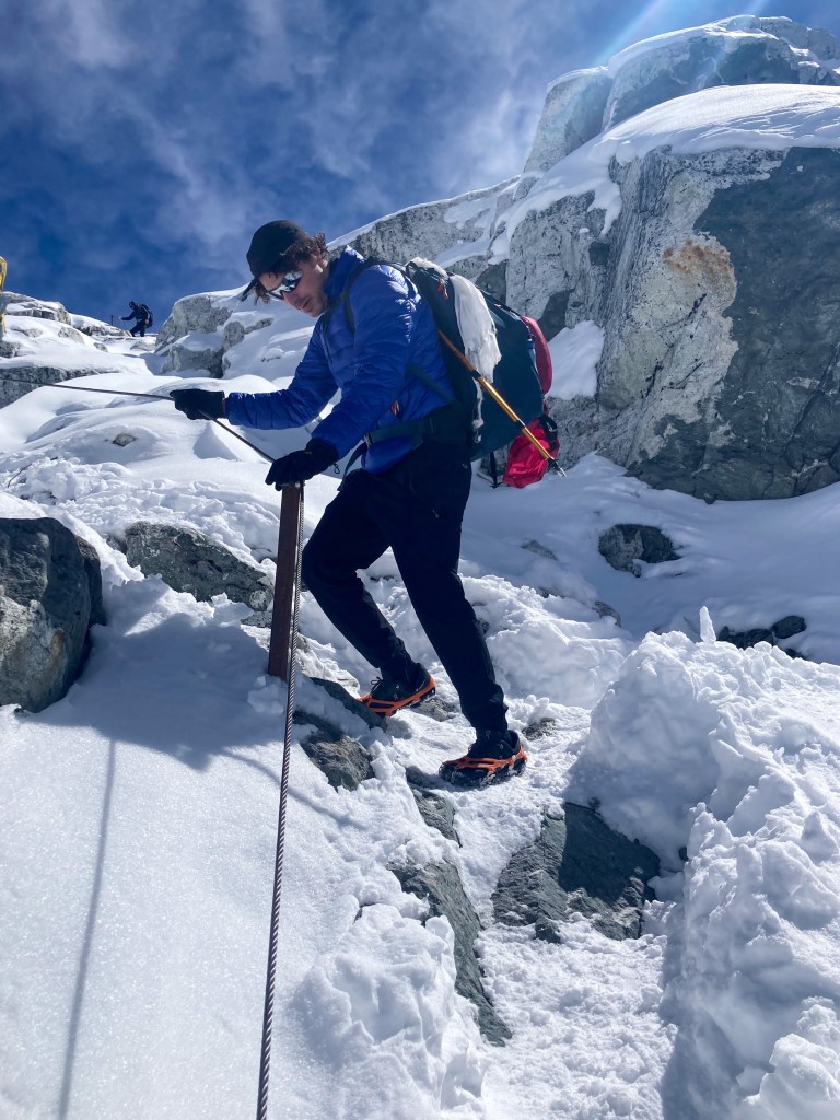
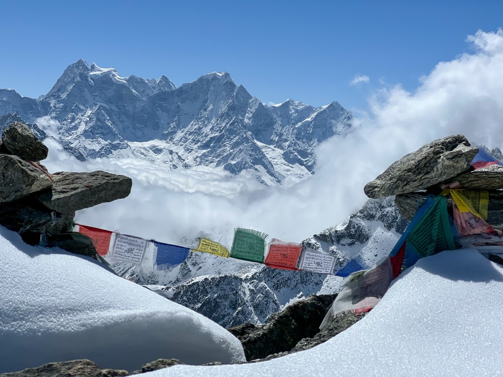
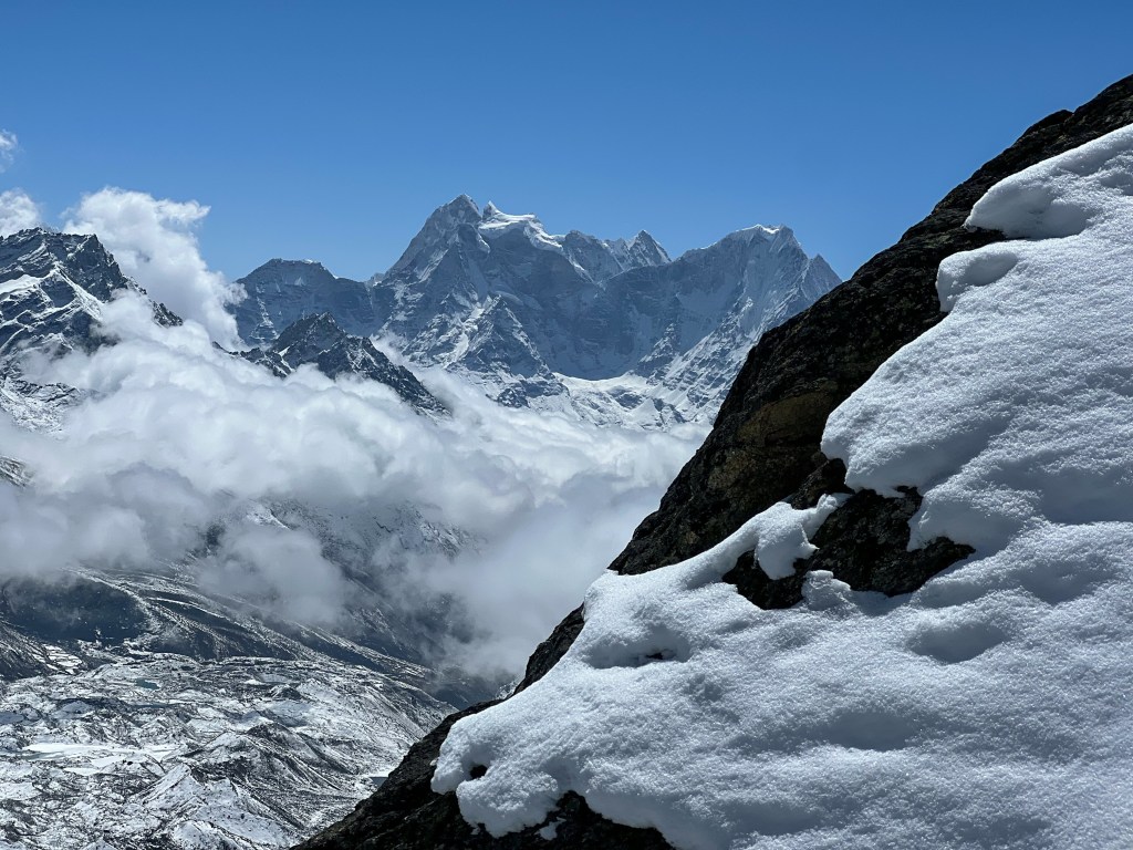
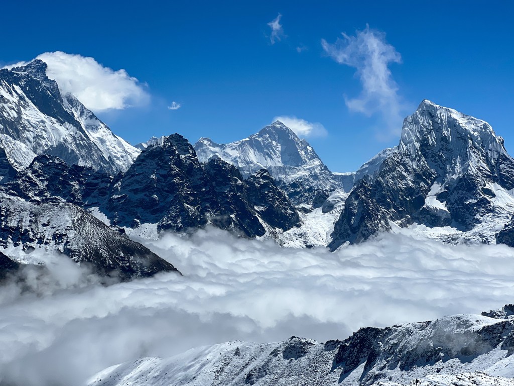
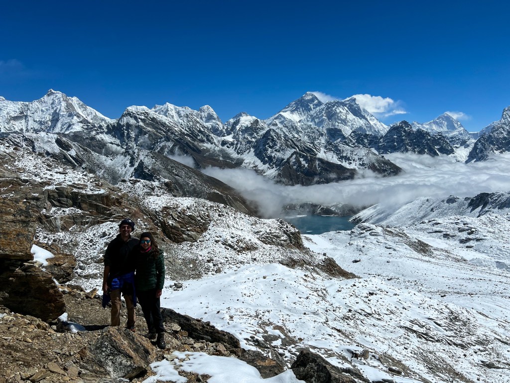
After a beautiful trek over the glacial moraines and rocks and a slightly less beautiful 600 meter climb to the Cho La peak, we were welcomed by spectacular views of Gokyo Valley, Makalu, and Lhotse.


Trekking down from the peak was a lot easier, but still a bit tenuous as we managed steal ropes that helped us manage the icy path down.
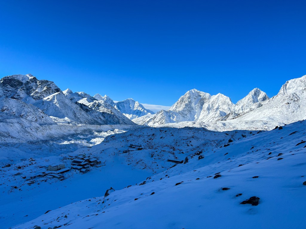
After about 6 hours, we finally reached our first destination, Thagnak, where we grabbed a quick lunch of vegetable fried potatoes and sweet black tea.
Refreshed, we finished the last 2 hours of our trek to Gokyo, traversing yet another glacier.
Relieved to arrive in Gokyo, we dropped off our heavy gear at the teahouse and rushed to the dining hall to enjoy some tea and pastries. We finally reached our rest day!
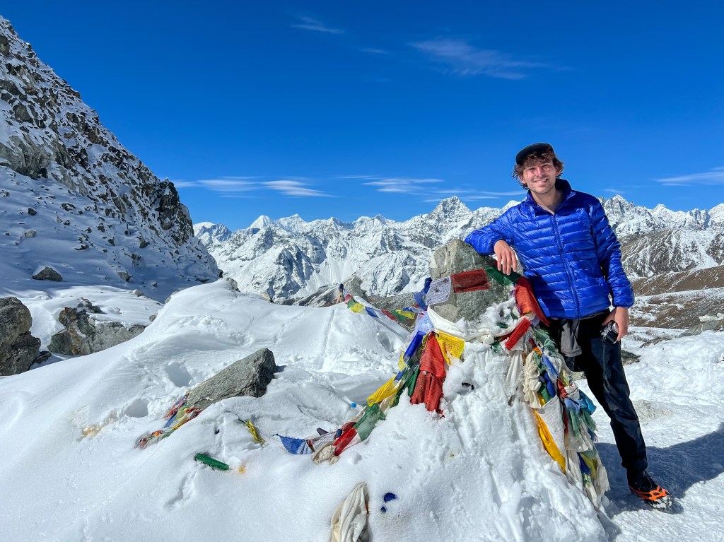
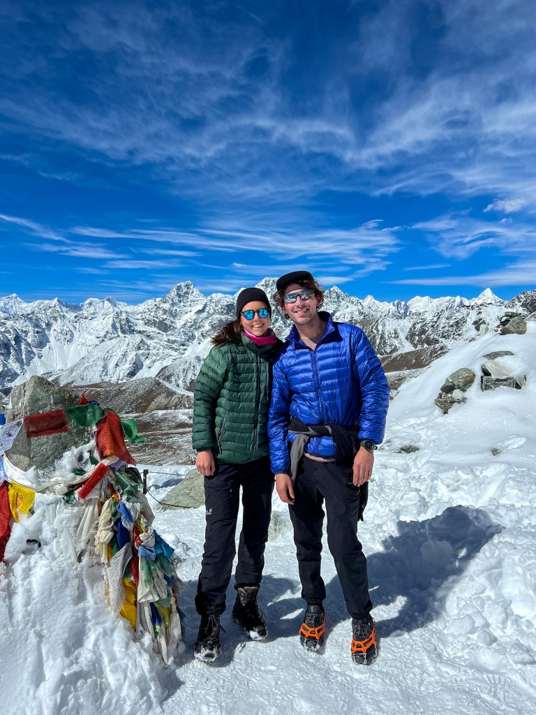
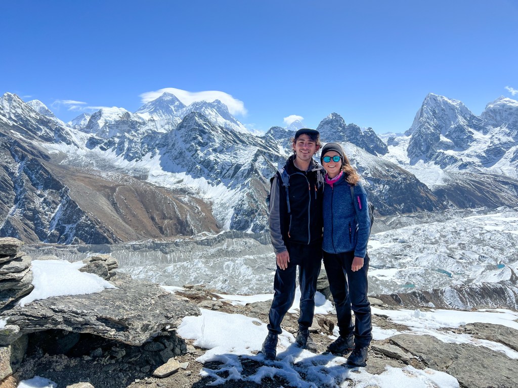
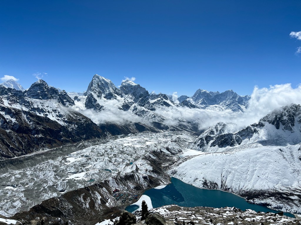
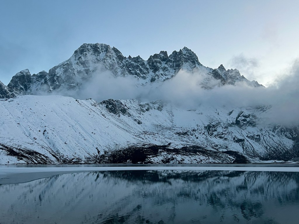
Day 11: Summiting Gokyo Ri (5,435m.)
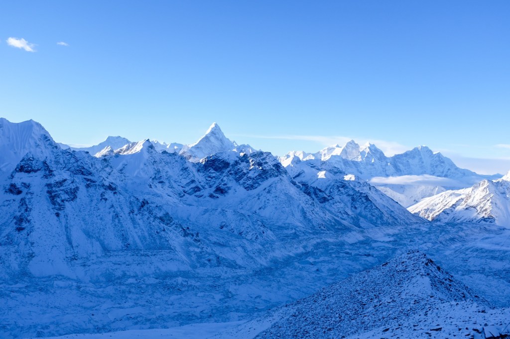
We decided to sleep in the next morning (to 7:00am) and have a slow and easygoing morning – we would have a large breakfast and then head on a leisurely stroll up 600 meters to the peak of Gokyo Ri. While this does not sound like a traditional rest day, it was a refreshing jaunt compared to our past several days.
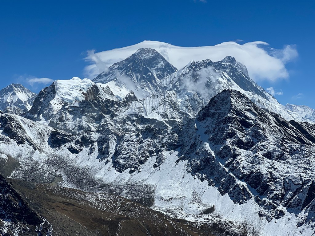
While not a traditionally easy ascent, the blue skies and clear view of Everest and his neighbors made the 3-hour hike a joy.
In the afternoon, we explored the small town and met up for tea with our American friends, David & Van, who just arrived from Thagnak.
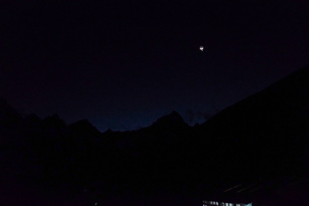
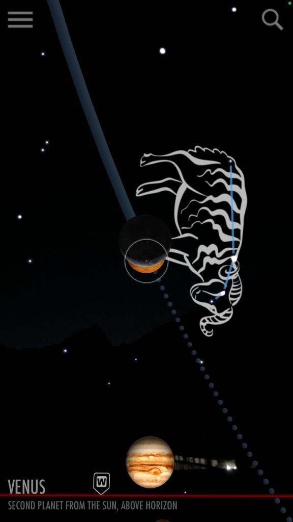
And in the evening, we watched the sun set over the mountains and got a glimpse of the moon and Venus.
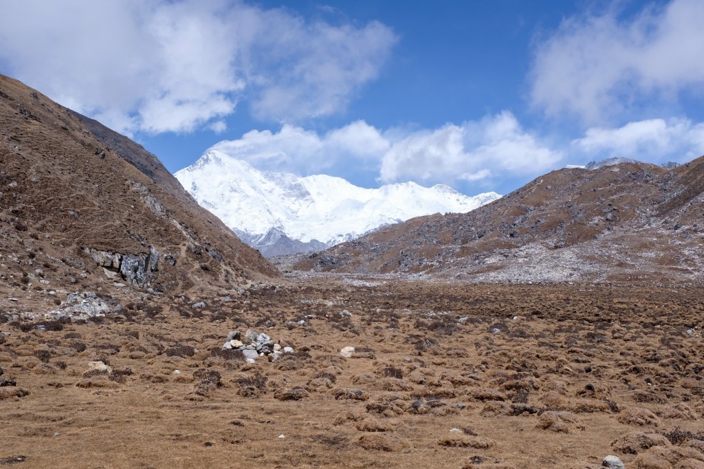
Day 12: Gokyo (4,750m.) -> Renjo La Pass (5,360m.) -> Lunghden (4,380m.)
Recharged and re-motivated from our rest day, Sophie and I set off for the last of our challenging ascents, another 600 meter climb from Gokyo to Renjo La peak – the only difference being when we trekked the 600 meter ascent to Gokyo Ri, we carried our day packs; today, it was with our 15kg gear.
Another 8 hour day of trekking, we were a bit weary of the value of doing yet another pass, but at the end of the day, we were rewarded with what was both of our favorite views of the region.

At the Renjo La Pass Peak-
And as we snacked at the top of the peak on cinnamon rolls, chapati with egg, and Tibetan bread, like in any other region of the world, birds came to welcome us and beg for a portion of our food.
Finally, we made our descent off of the pass and traversed our way to our final destination of the day, a small town called Lunghden.
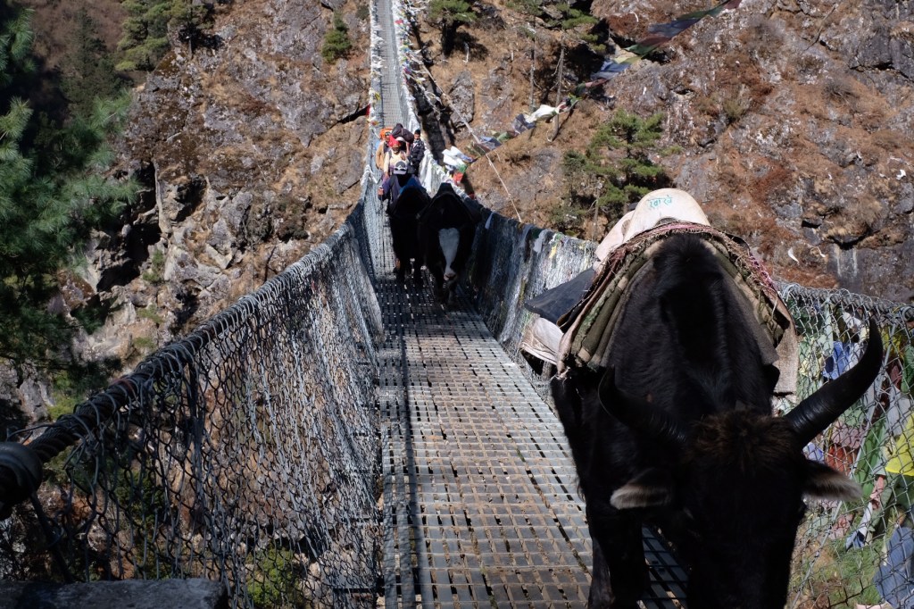
At the end of the day, weary but satisfied, we said goodbye to the wonderful ascents and peaks that welcomed us the past 5 days, and prepared for the 40 kilometer journey back to Lukla that awaited us over the next two days.
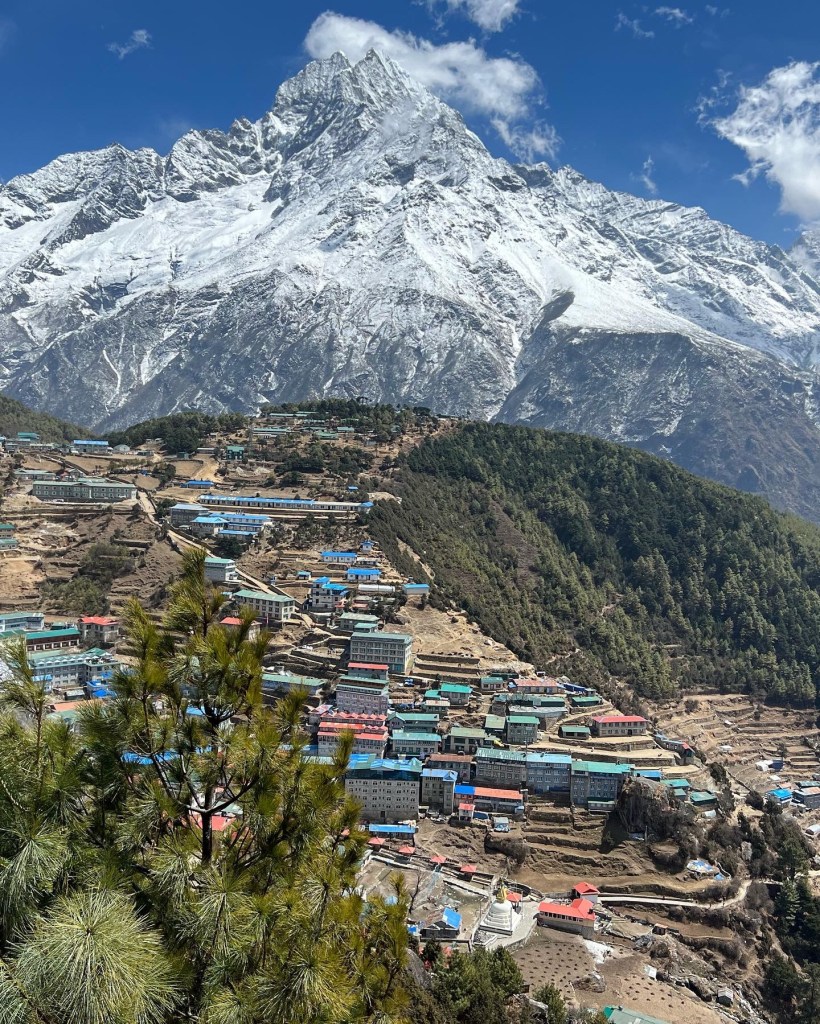
Day 13: Lunghden (4,380m.) -> Namche Bazaar (3,440m.)
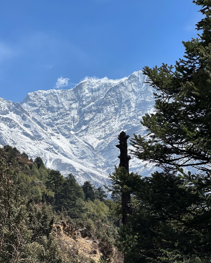
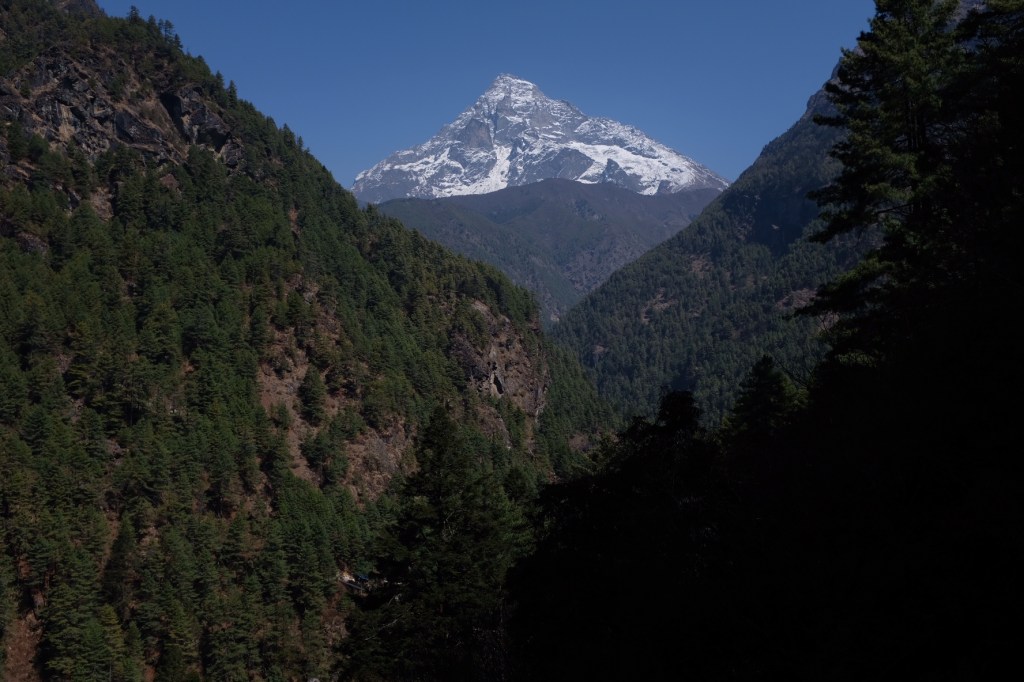
We began the walk down bright and early, knowing we had a lot of ground to cover. On our 6 hour hike down to Namche, we got another set of eyes on the wonderful Mountain View’s that welcomed us during the first few days of the trek.

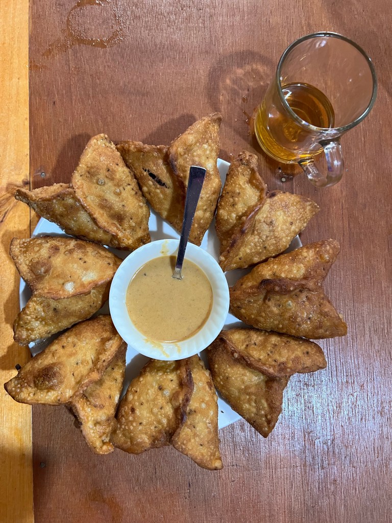
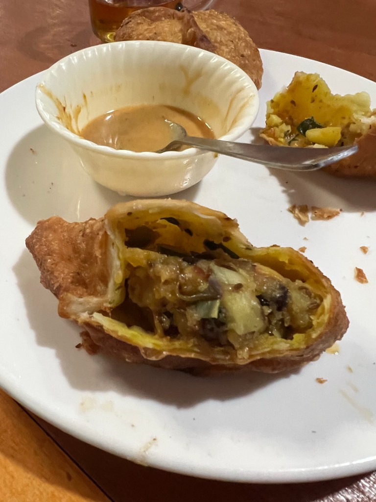
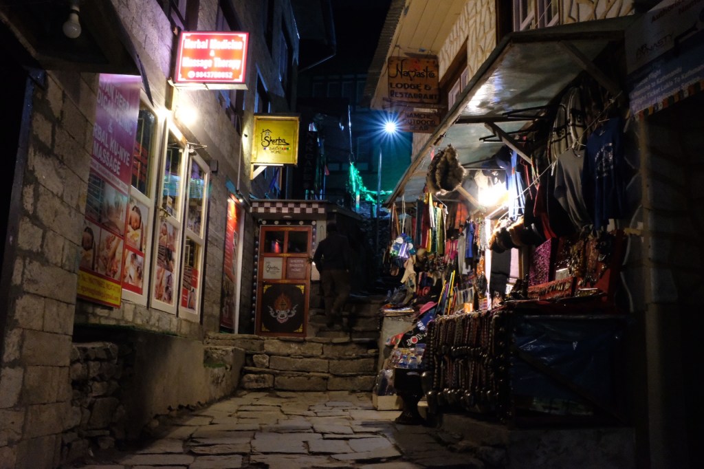
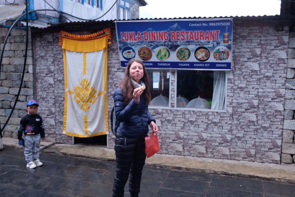
Back in Namche, we rushed back to our favorite samosa spot and filled our mouths with fried potato and chili sauce.
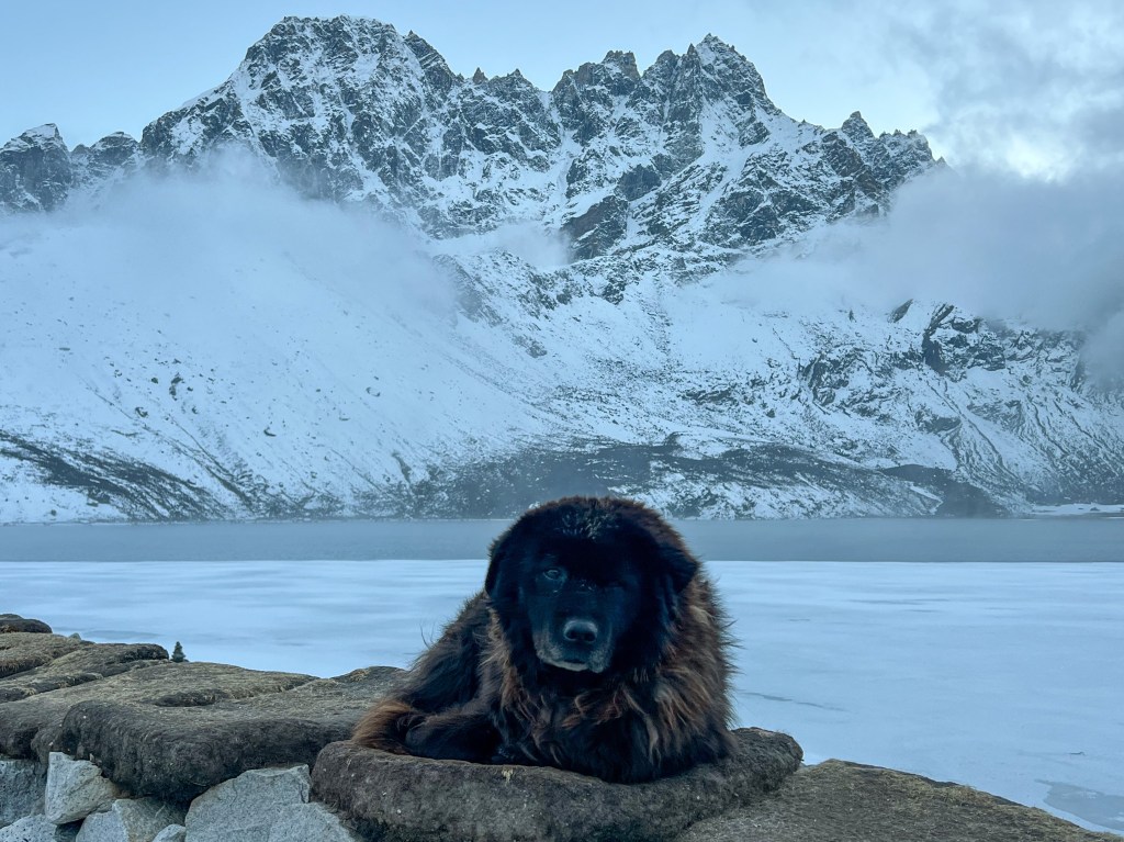
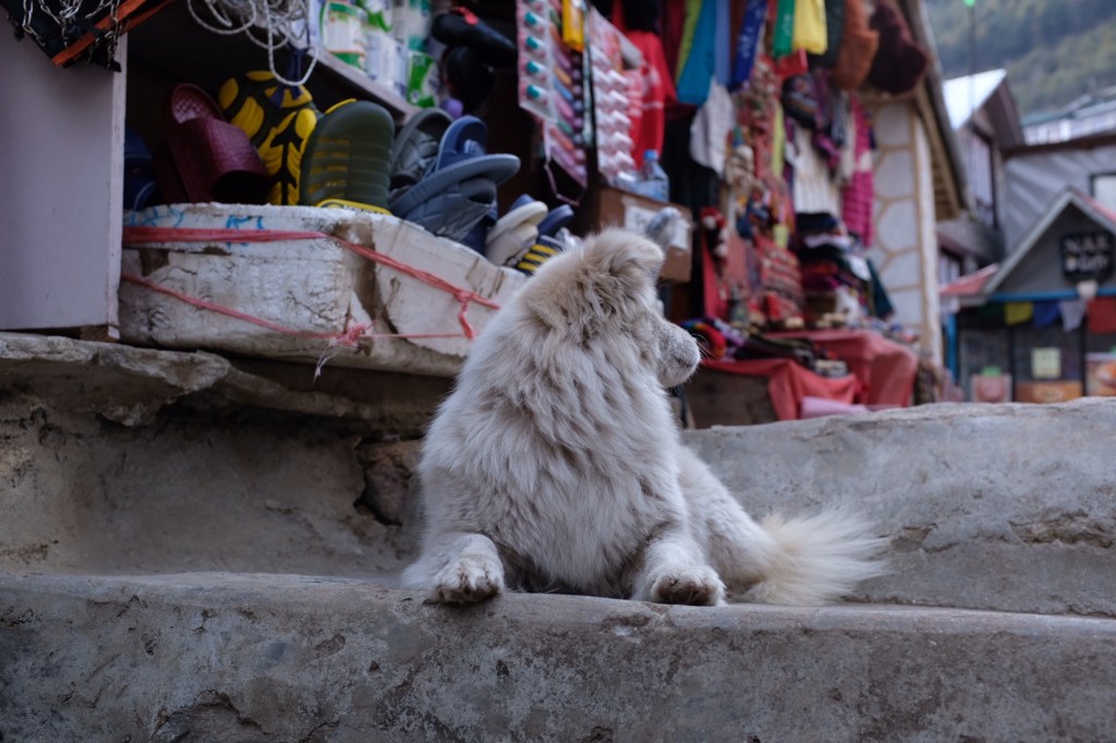
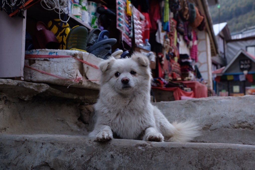
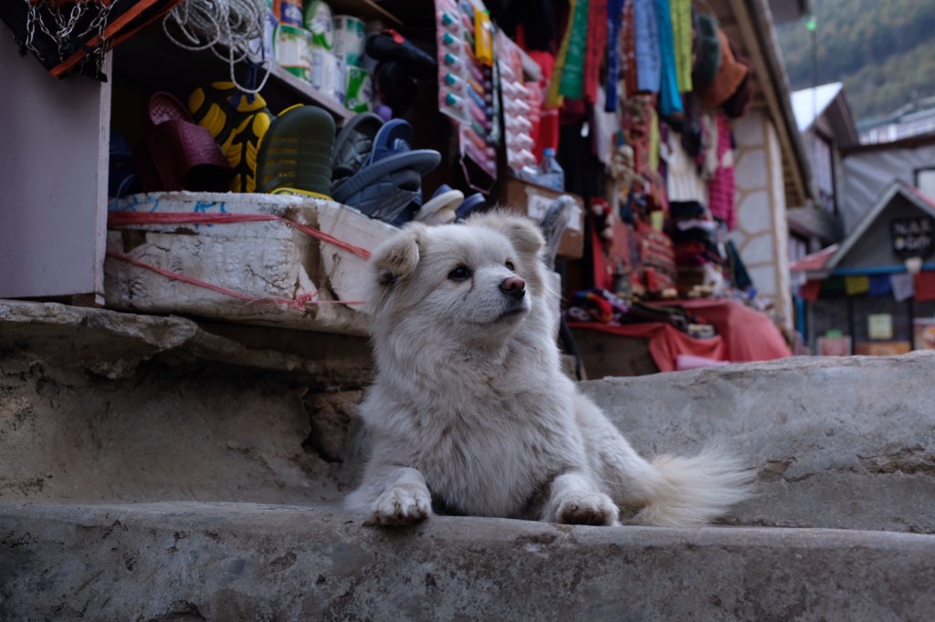
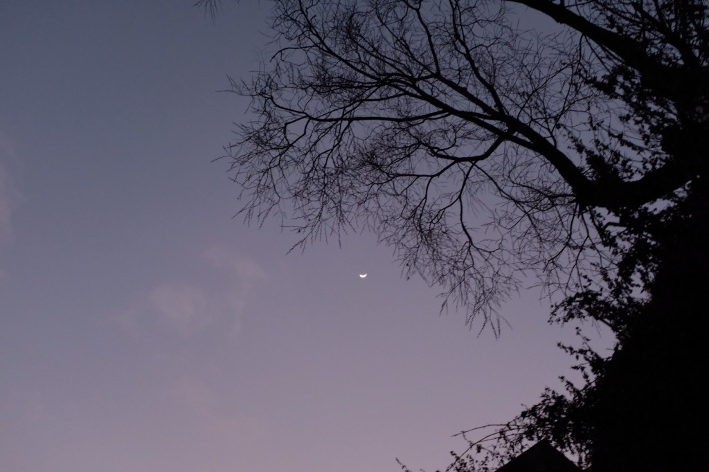
And before heading to bed we caught another glimpse of the moon and met a very photogenic dog!
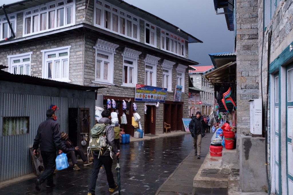
Day 14: Namche (3,440m.) -> Lukla (2,830m.)
Despite having another long day ahead of us, Sophie and I decided to take a slow start to our morning and enjoy Namche a bit more before we embarked on the last leg of our journey.
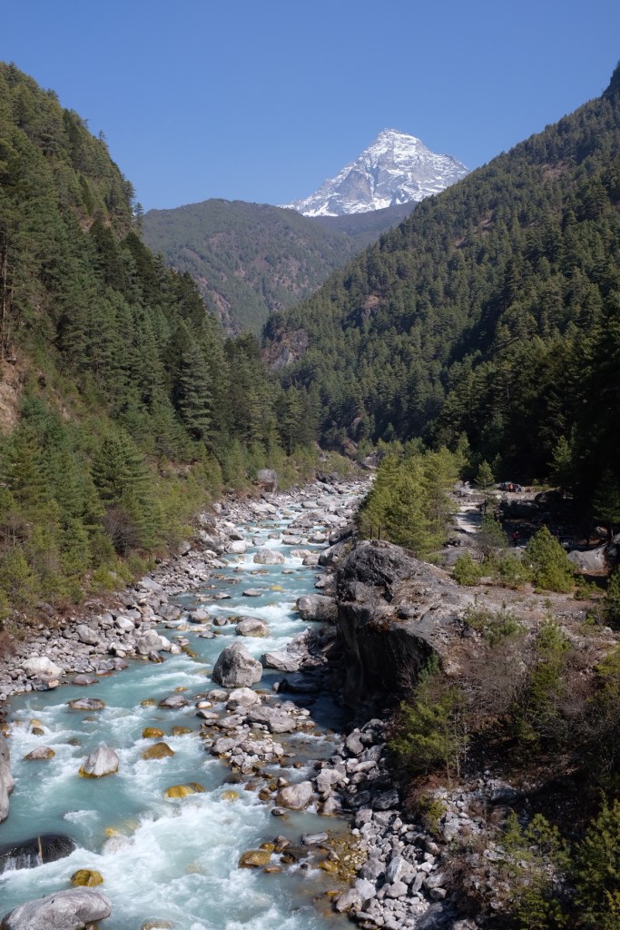
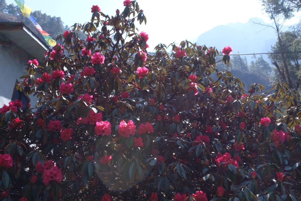
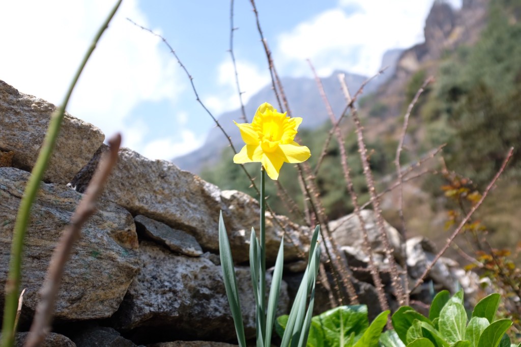
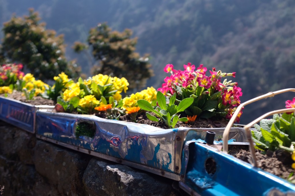
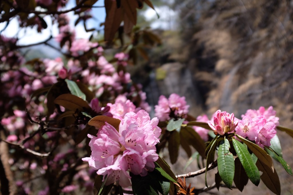
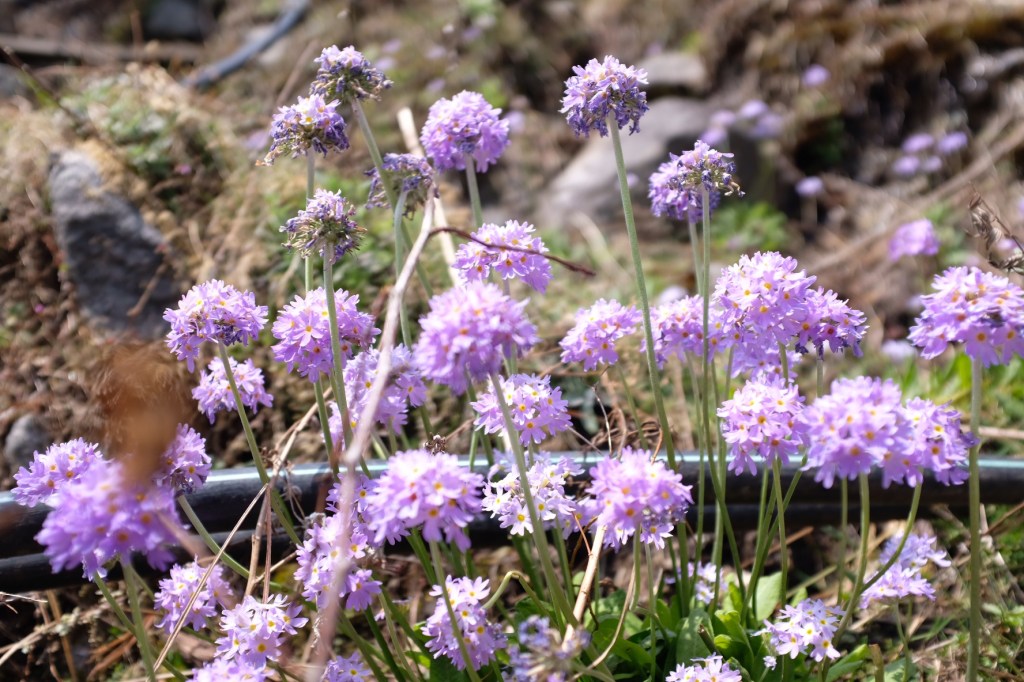
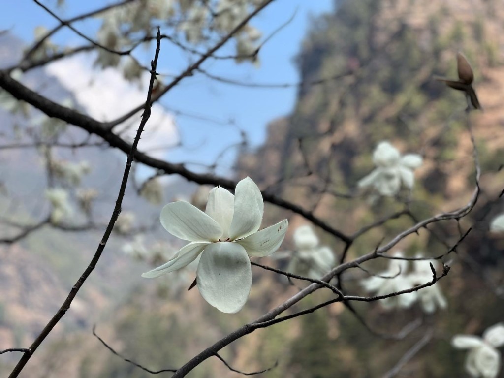
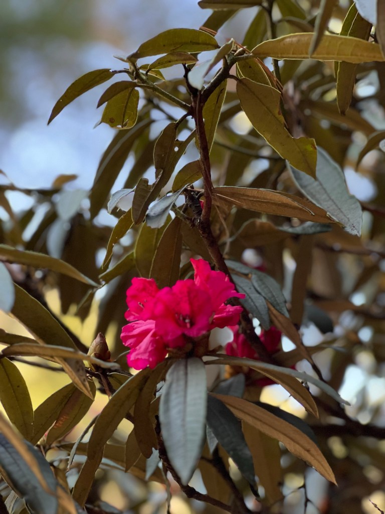
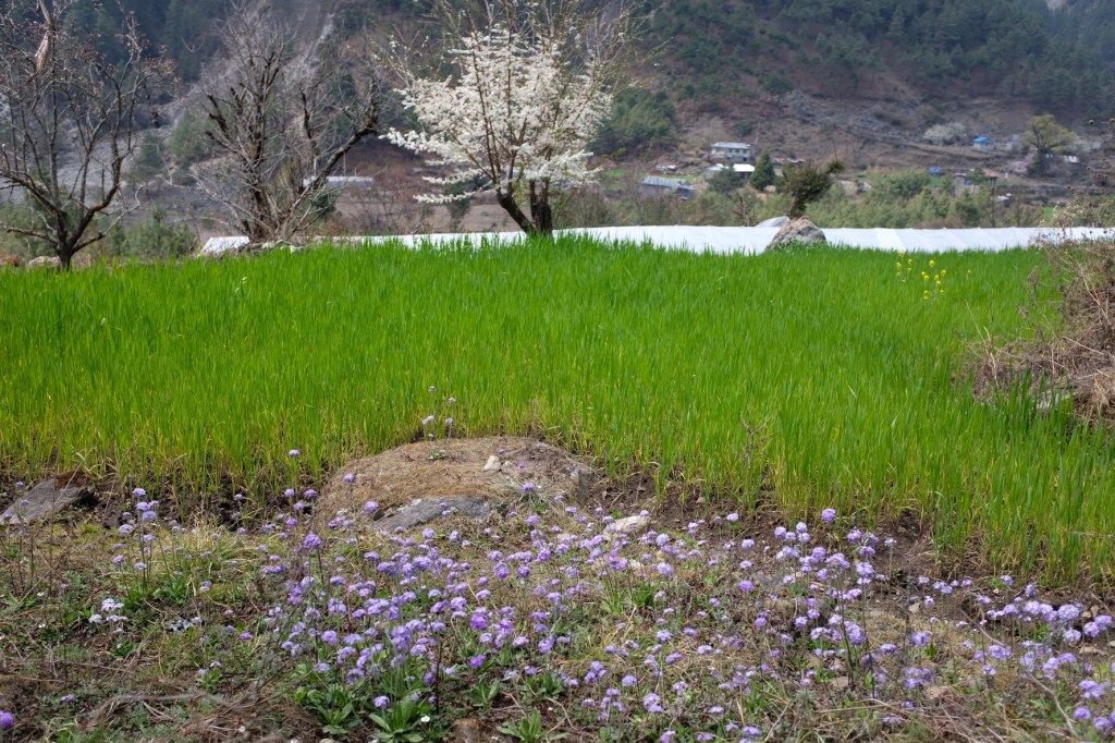
As we headed further and further down the mountain, we saw how the lower altitude regions of the park transformed over the past 2 weeks. Spring had arrived and the dormant vegetation we saw heading up the park had transformed into blooming flowers and bright green leaves.
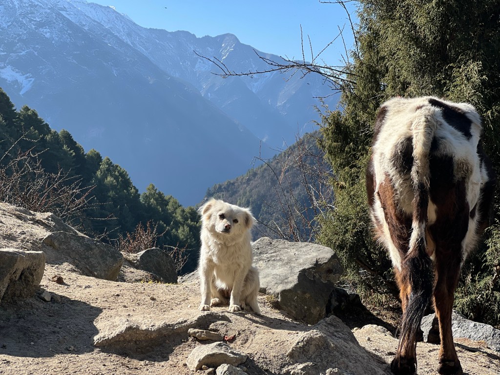
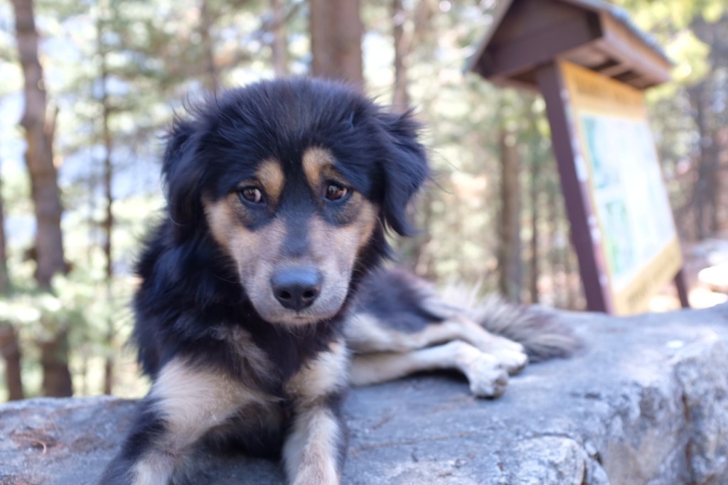
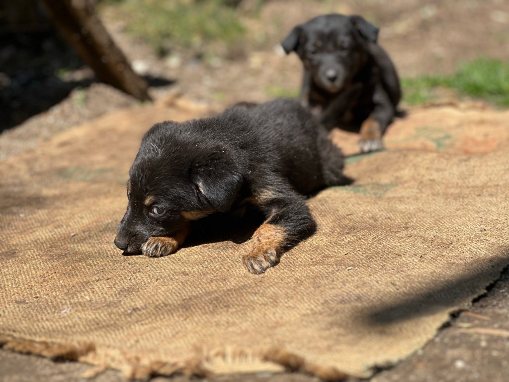
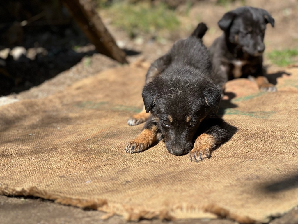
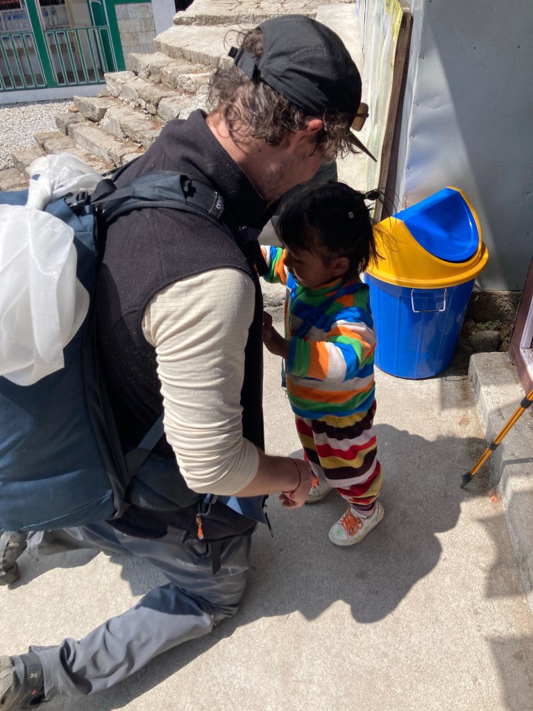
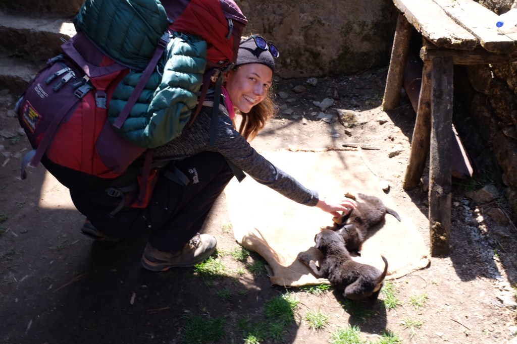
And on our journey back, we stopped in Monjo to see our puppy friends from a couple weeks back – and I got an important lesson in buckling my backpack straps from a 3 year old.
And arriving in Lukla, we splurged on a $10 hotel that offered hot showers – the first in 10 days, it was a true luxury.
Our last night before heading home to Kathmandu, it was bittersweet. On the one hand, our chapped lips and sunburned faces, weary legs and strained traps were excited for a rest. On the other hand, we craved explore more of the region – to experience all it has to offer.
But in the end, we consoled ourselves with the reminder of our achievements and a resolution to return one day soon – immensely grateful for what the Himalayas had gifted us.

Sam,
Beautiful photos and writing. You must be in amazing physical shape now. I am envious! Stay safe.
LikeLike