
Day 1: Kathmandu (1,400m.) -> Lukla (2,830m.) -> Benker (2,640m.)
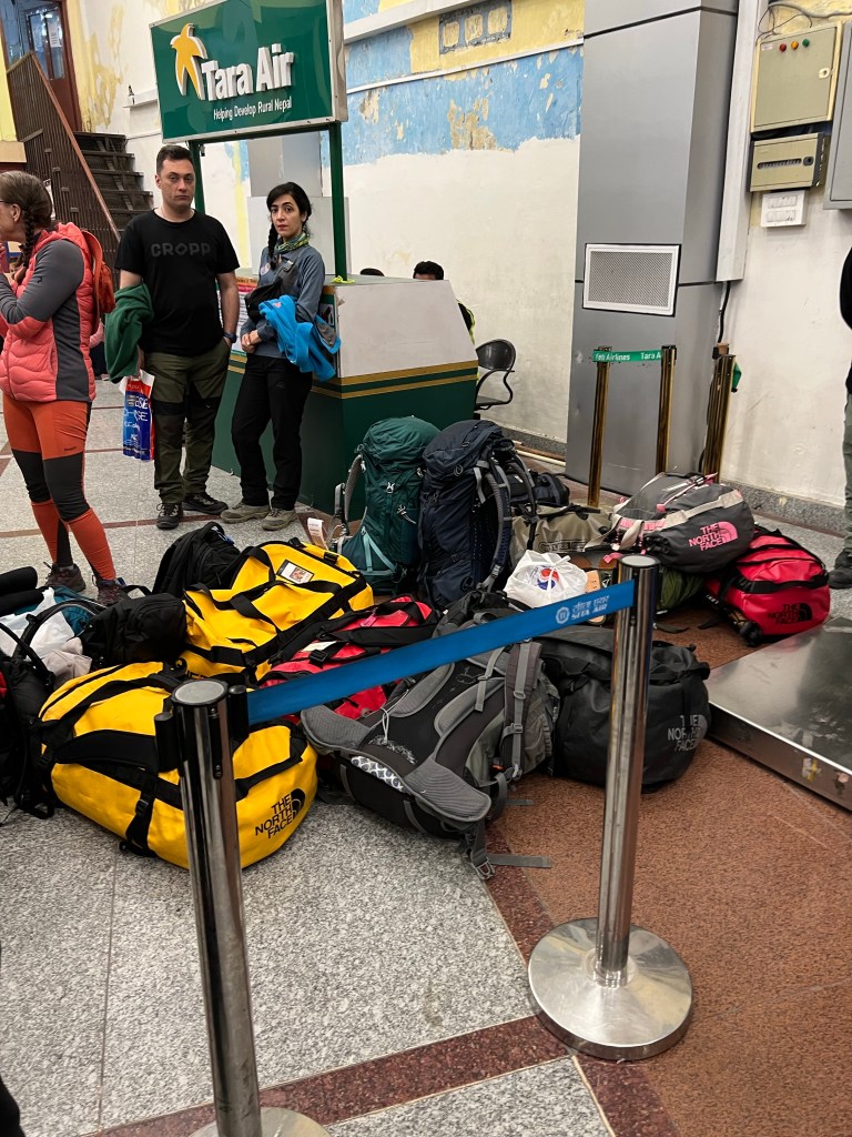
Bright and early, I caught a taxi to the Kathmandu Domestic Airport for my 7:30am flight to Lukla to begin the trek. Arriving an hour before takeoff (yes, only an hour), I headed to the one ticket counter, weighed my bag, and got my ticket.
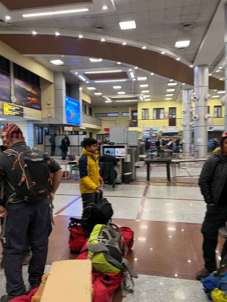
While waiting, I met a few trekkers flying to Lukla as well and we spent the time sharing our plans assuaging our eagerness & anxiety: Jose, a former Marine from Panama currently living in Australia; Sophie, a medical student from Germany; Wendy from Canada & her guide; Ram, a judge from the Philippines; and two dentists from France who made Aliyah Israel. Our motley crew, which comprised of half the plane’s capacity, was a great microcosm of the diversity of trekkers that visit the Himalayas – young and old, from a plethora of backgrounds.
Unfortunately, this was the day I would be confronted with the true challenge of a Kathmandu <-> Lukla flight.
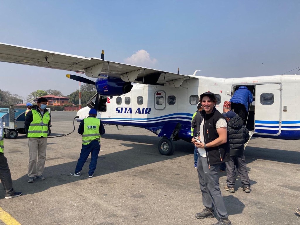
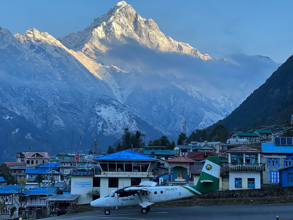
The runway at theTenzing-Hillary airport in Lukla is only 1,700 feet long, about half the length of normal runways that use smaller aircrafts like the ones used for the Kathmandu <-> Lukla flight. The runway is also on an 11.7% gradient, which helps with slowing down the plane due to its very short length. On top of that, unlike most runways, the end of the Tenzing-Hillary runway completely drops off the side of a cliff – so if something goes wrong on take off or landing, it is much more difficult to deal with. To top it all off, due to the mountainous landscape around the airport, once a plane goes down for a landing, that plane must try to land even if something goes wrong – known as a “no go around” order.
Therefore, if the weather isn’t perfect, the airlines will not take the risk of flying in and out – resulting in the rout being one of the most cancelled in the world. If the weather isn’t perfect, the airlines will not take the risk of flying in and out.
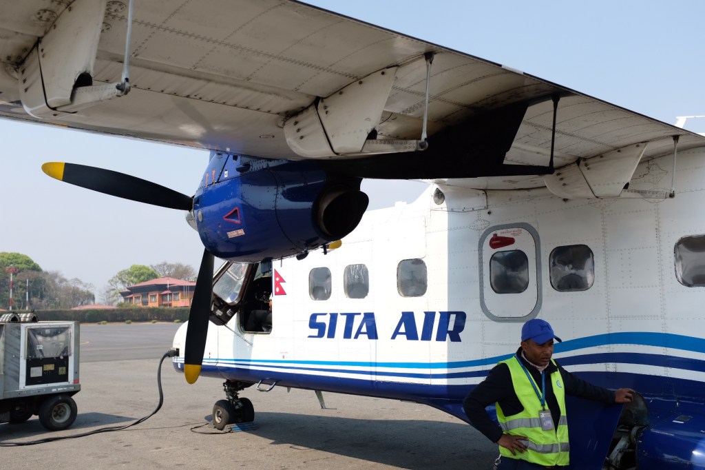
Today was one of those days – while the weather seemed to be perfect in Kathmandu and reports said the weather was clear in Lukla, a few rain clouds in the middle of our journey threatened takeoff. Despite this, after 4 hours of delays at the airport due to the uncertain weather, we finally boarded our flight to Lukla!
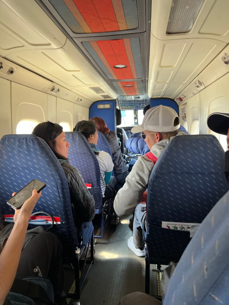
Unfortunately, 15 minutes after takeoff, the pilots announced that the poor weather had returned, making it too dangerous to land in Lukla, and we diverted back to Kathmandu with the promise of a flight first thing the next morning (if the weather is clear). While a somewhat frustrating start to the trip, we were all very grateful for the pilot’s prudence – I would rather not get there at all than on the bottom of a cliff!
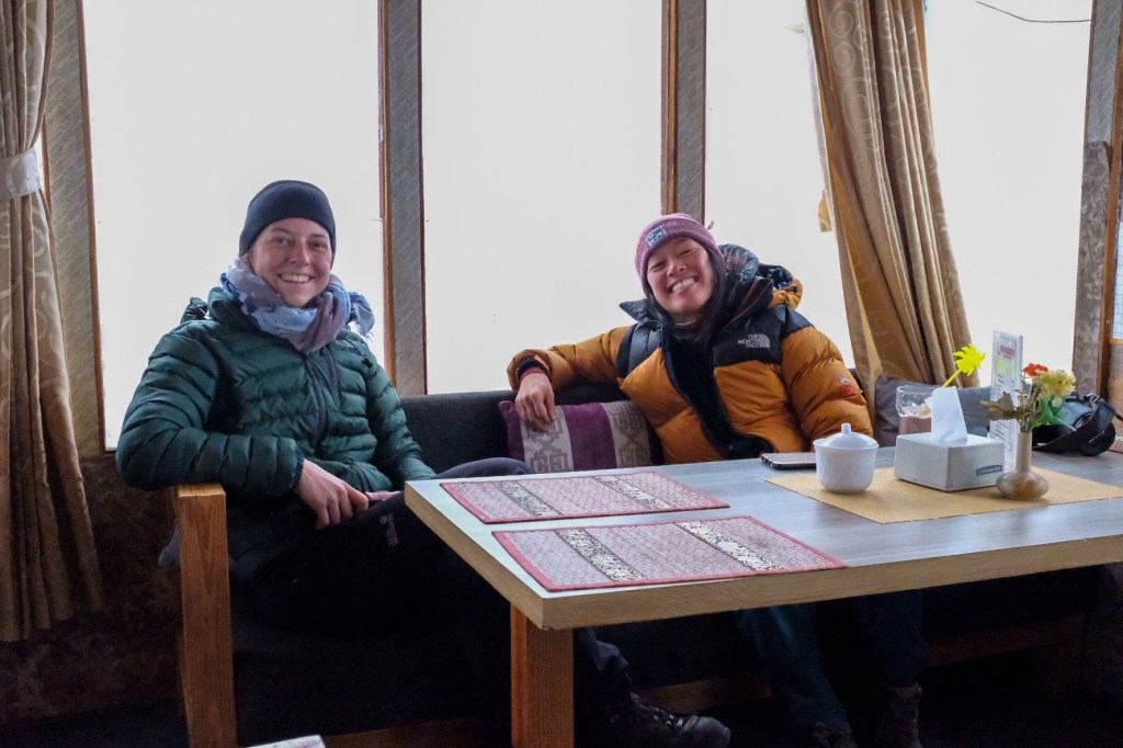
That night, bonding over our shared disappointment & interests in Medicine, Sophie and I spent the evening reviewing our itineraries. Seeing that we had similar plans, we decided to trek together – or at least I did!
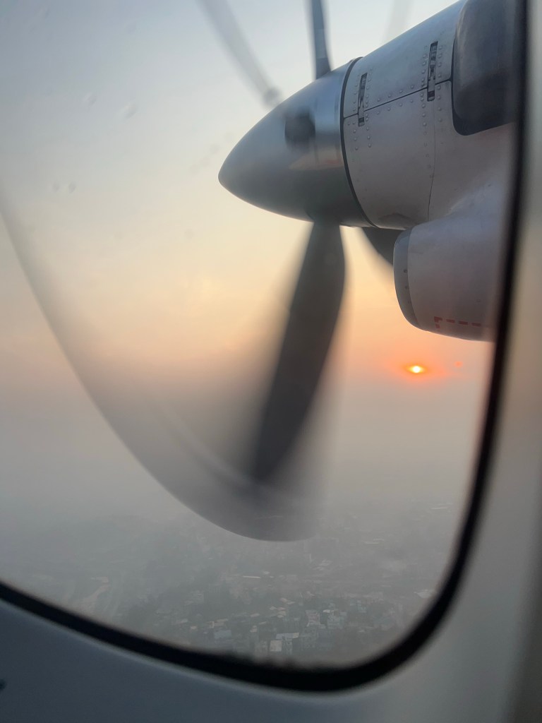
Fortunately, the next morning (after a night of constant downpours), the weather was perfectly clear, and we boarded our flights for a smooth ride to Lukla.
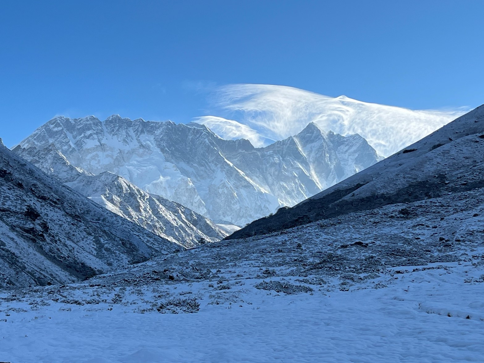
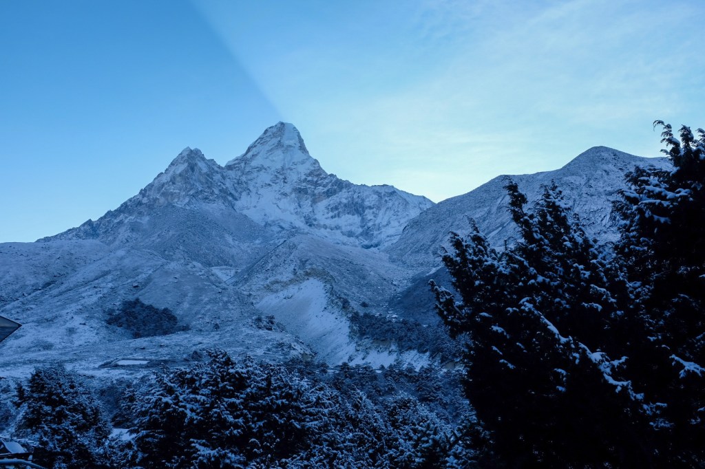
Arriving in Lukla, trekkers are immediately confronted with the height and beauty of the region with a bowl of snow-capped mountains overlooking the airport in the distance.
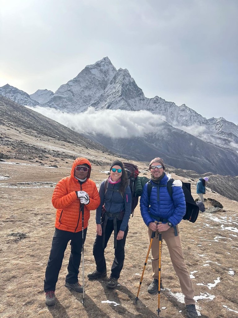
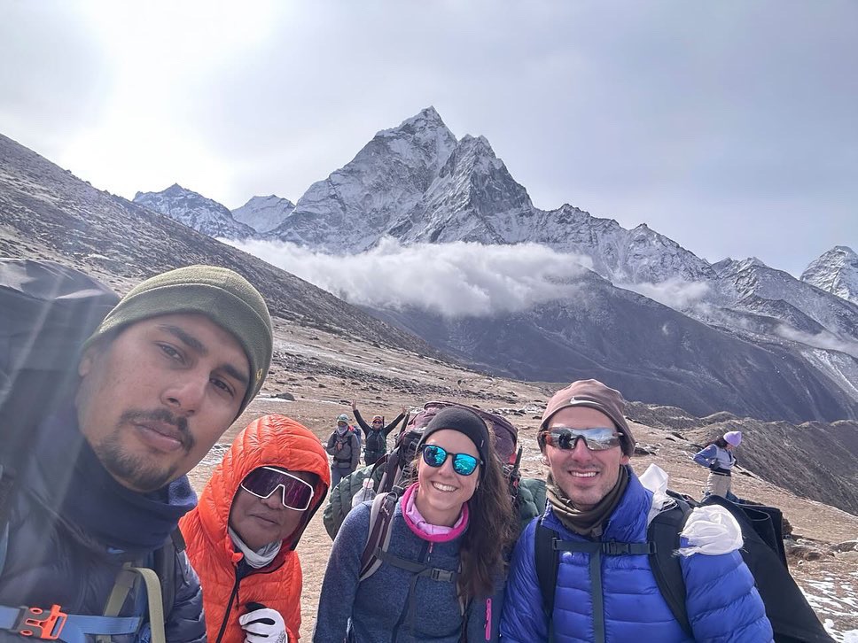
Sophie and I eagerly started our day’s hike, only to need to stop 10 minutes later at the first of 4 checkpoints in the region to secure our permits. There, we met Pierre, a weathered 60-year old trekker and mountaineer from Denmark, with decades of experience in the region. While we did not realize this at first, Pierre would be a wonderful travel companion and mentor, who generously took the time over our first few days together to teach Sophie and I the ropes of the region.
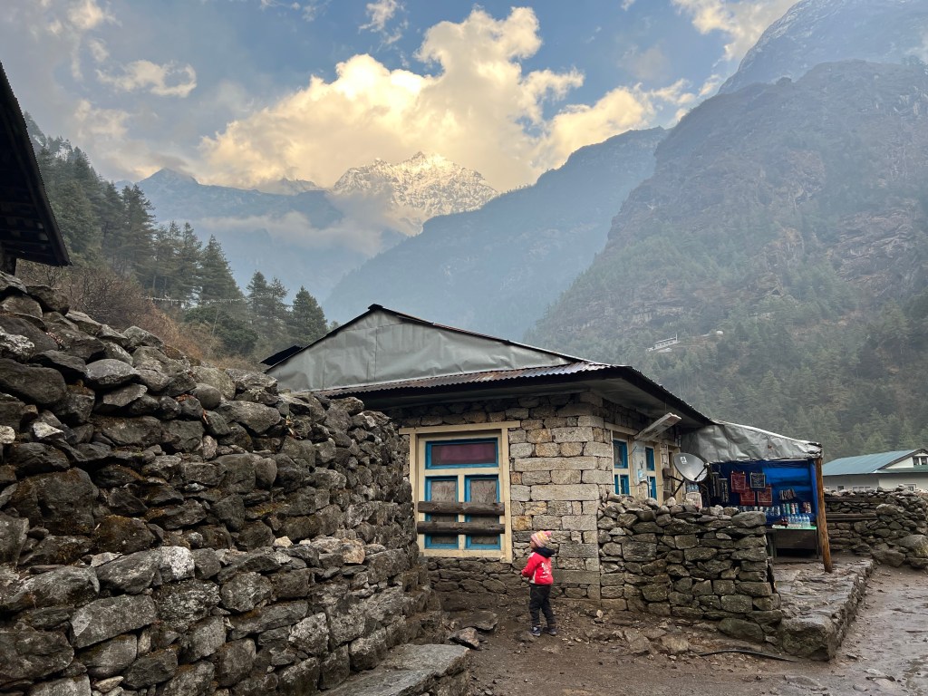
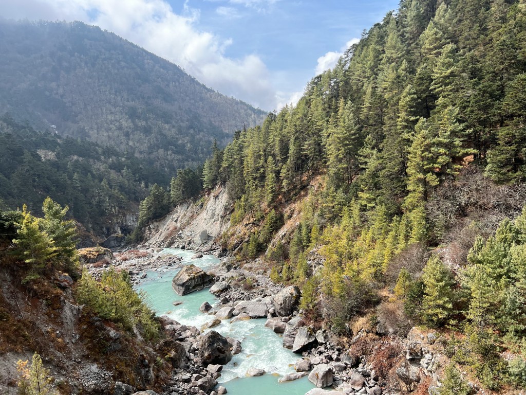
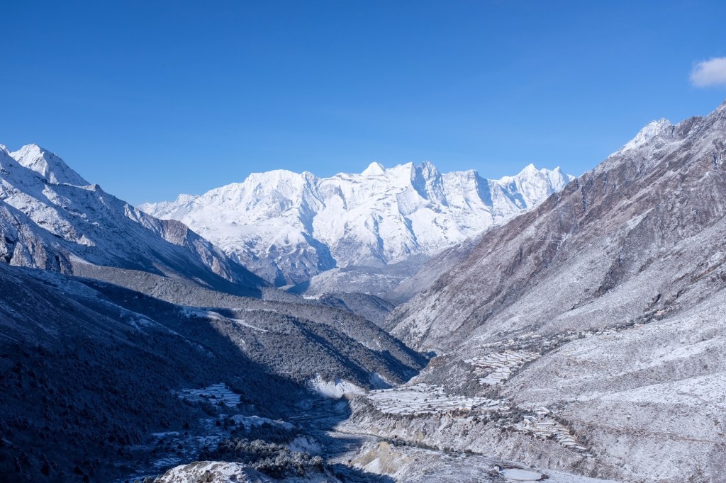
After obtaining the permits, our group of 3 – Sophie, Pierre, and I (the rest of our airport companions spread out on their various plans) made the 4 hour trek to Phakding (2,640 m), and stopped for a lunch of Thukpa and tea. While many trekkers decide to stop in Phakding their first night, it was still early in the afternoon when we finished lunch, and we decided to go a couple towns further as there would not be much altitude increase and we would be closer to tomorrow’s destination – the mountain city of Namche Bazaar.
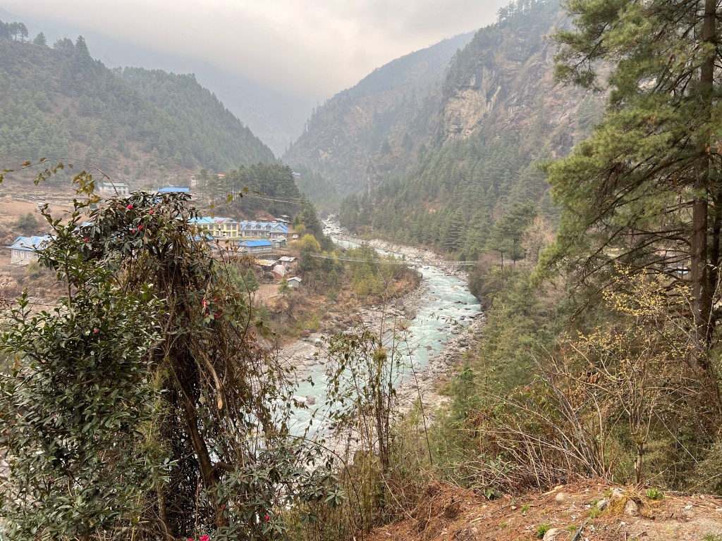
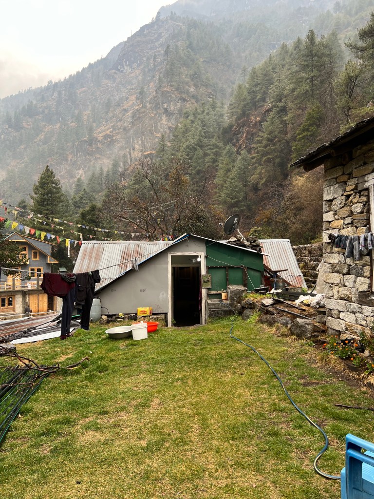
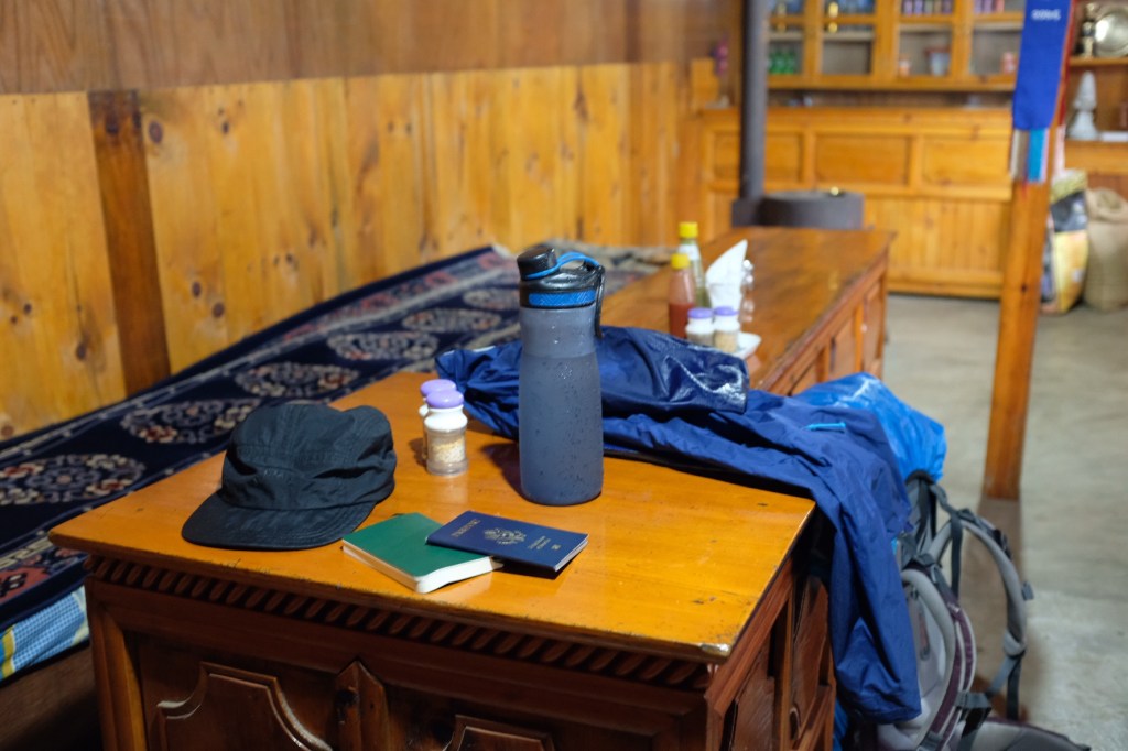
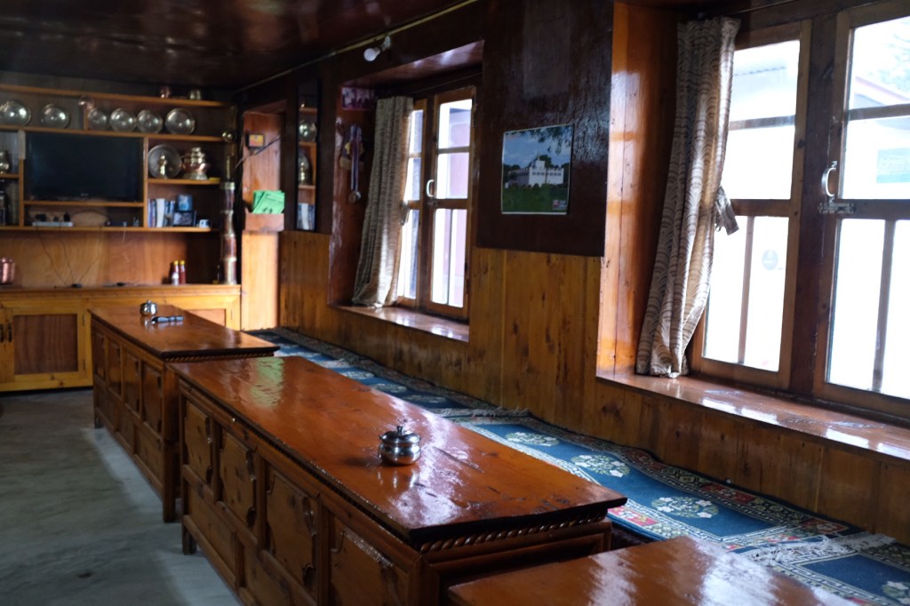
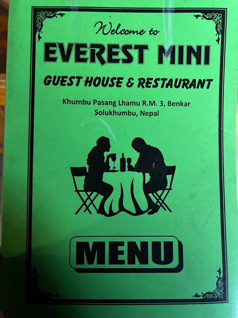
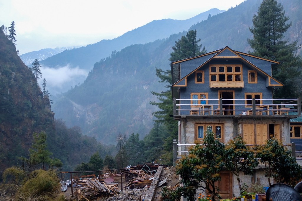
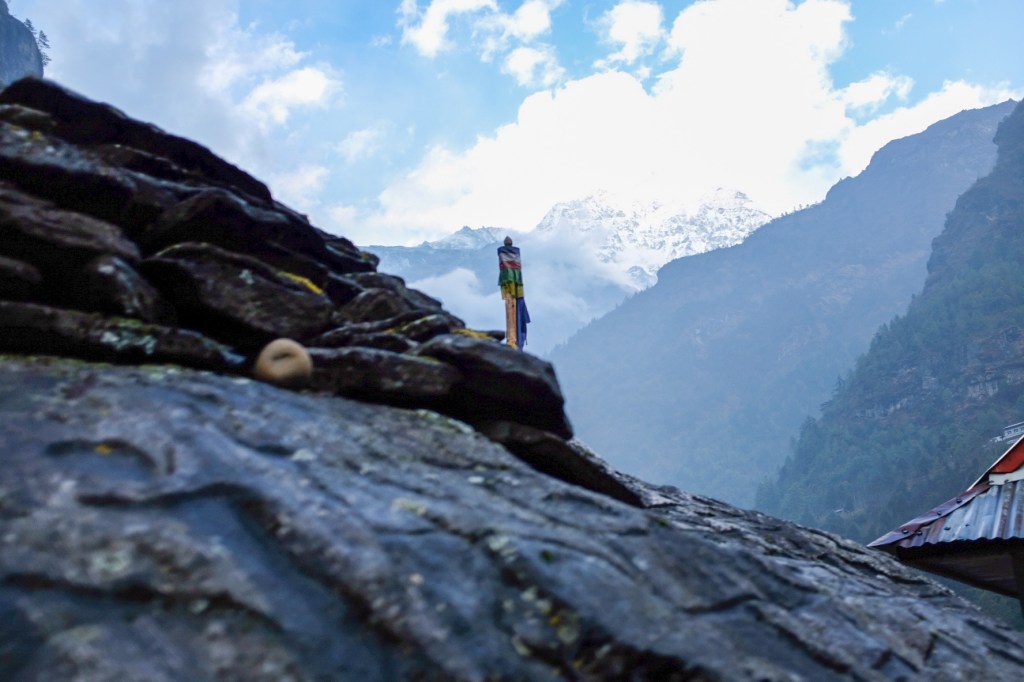
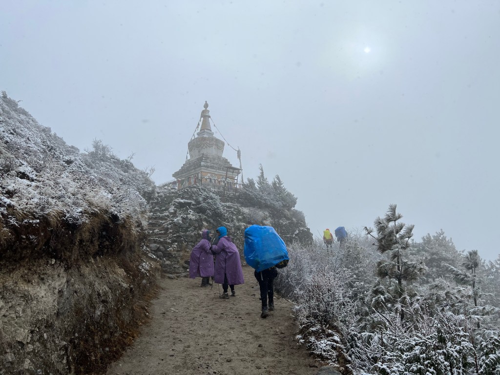
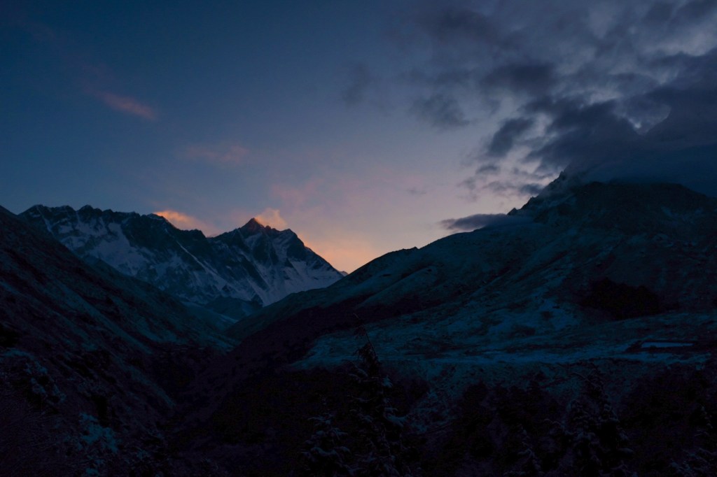
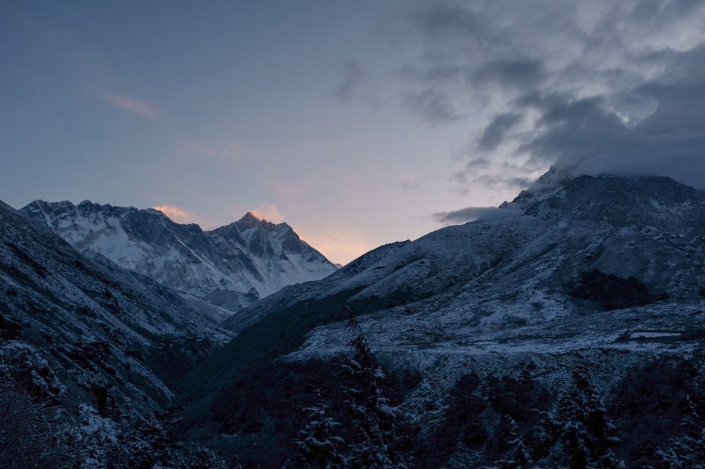
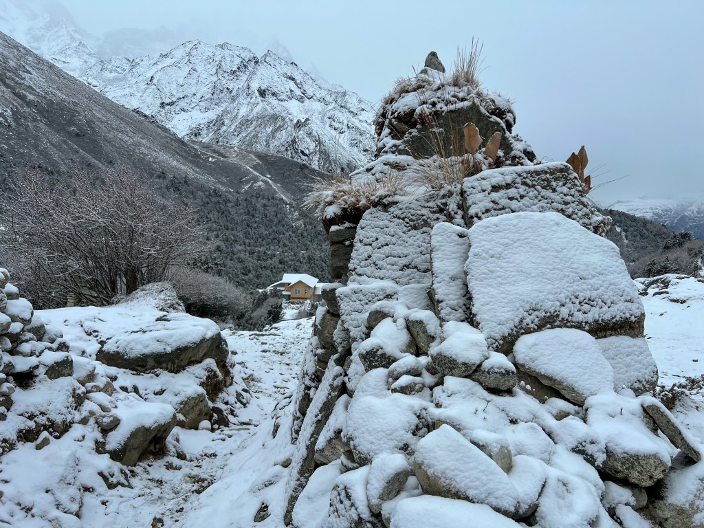
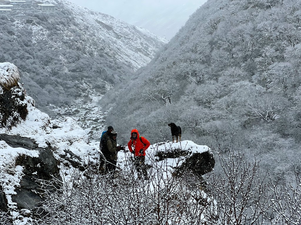
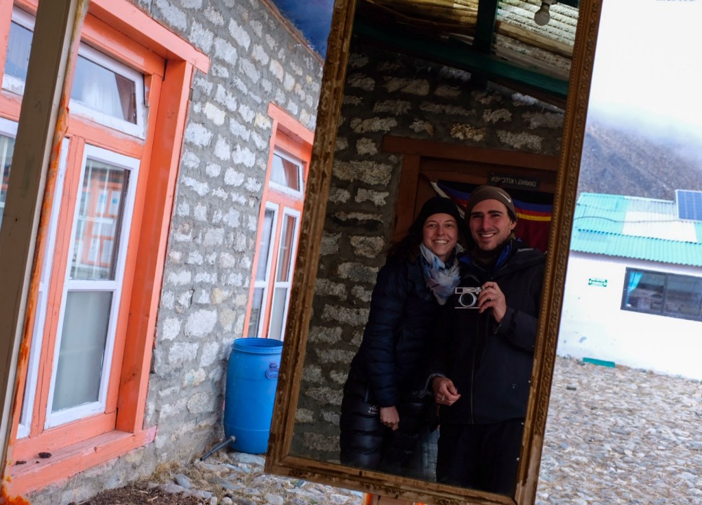
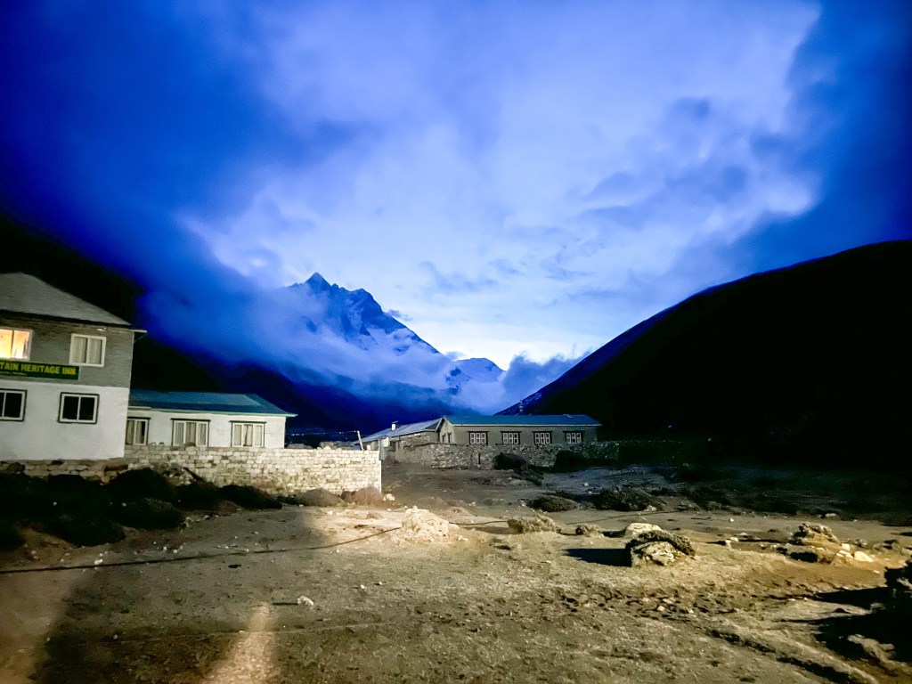
After another 2 hours of trekking, the weather (always fickle) changed from bright blue skies to grey clouds and a hail storm – fortunately we just entered the town of Benker and decided to settle their for the night at a local teahouse.
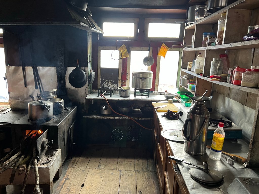
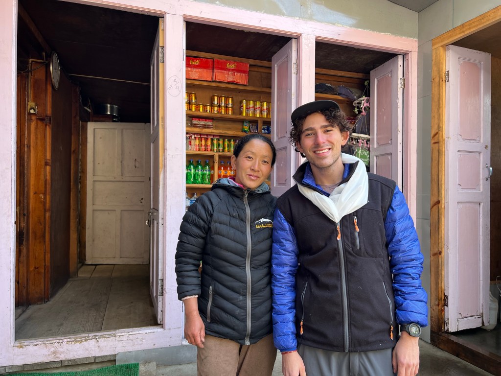
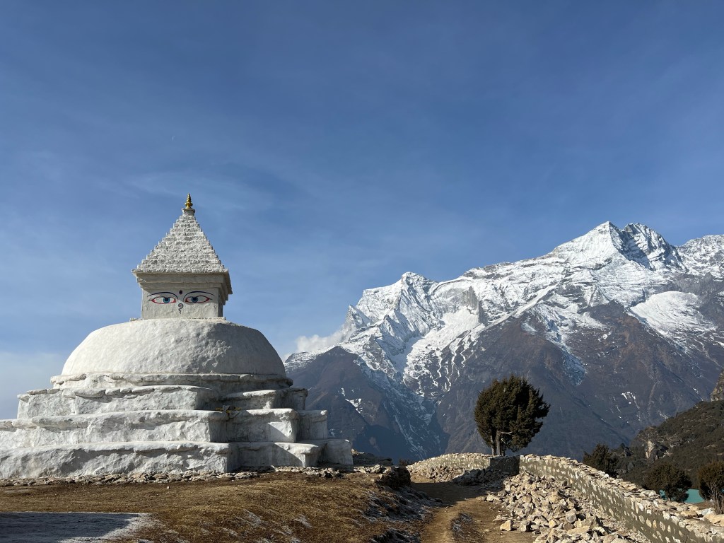
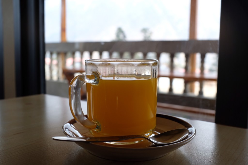
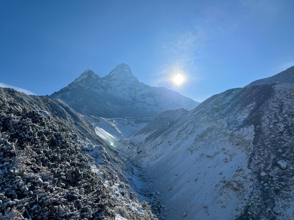
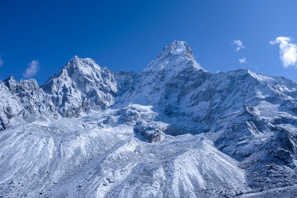
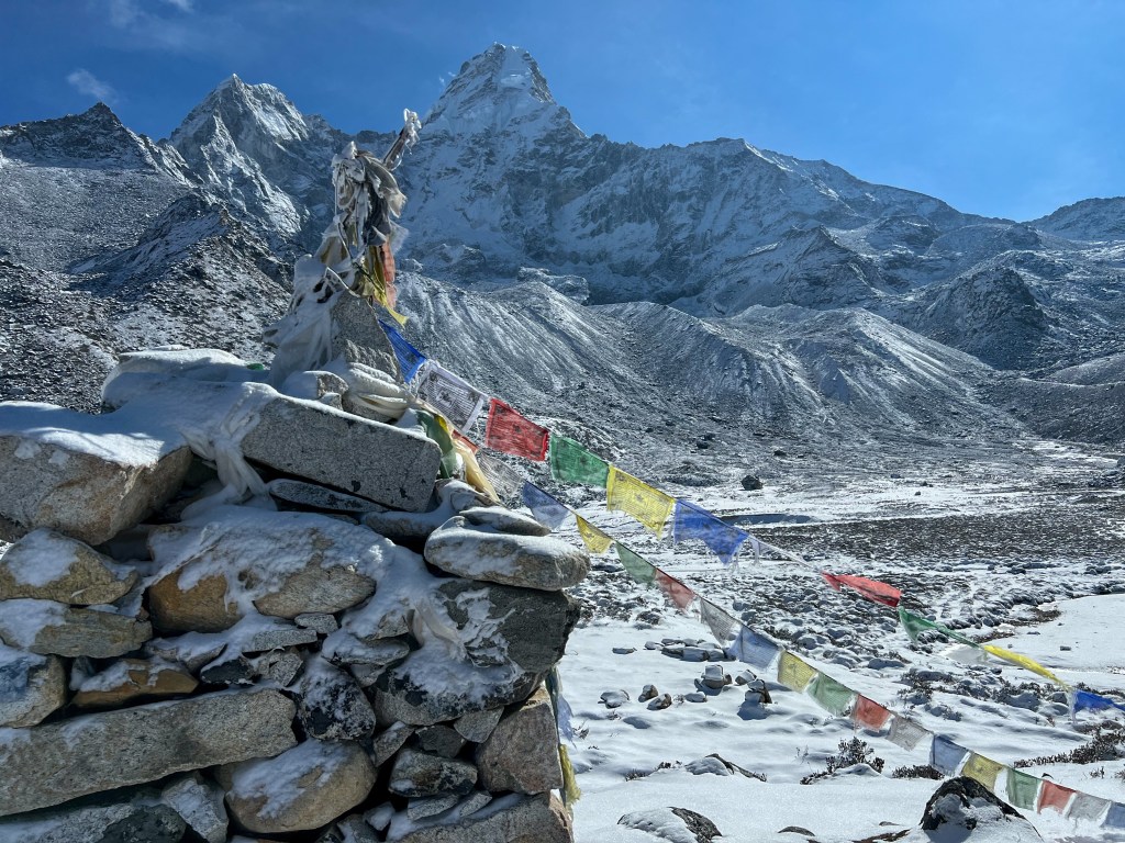
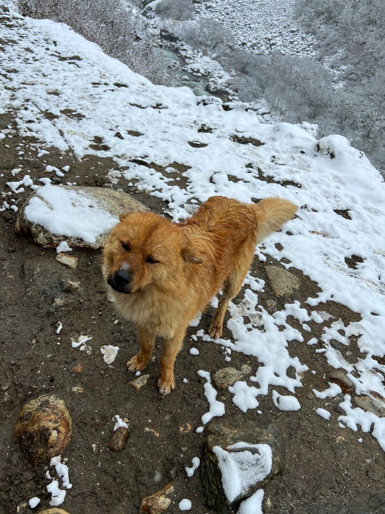
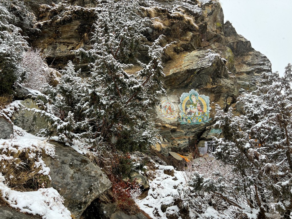
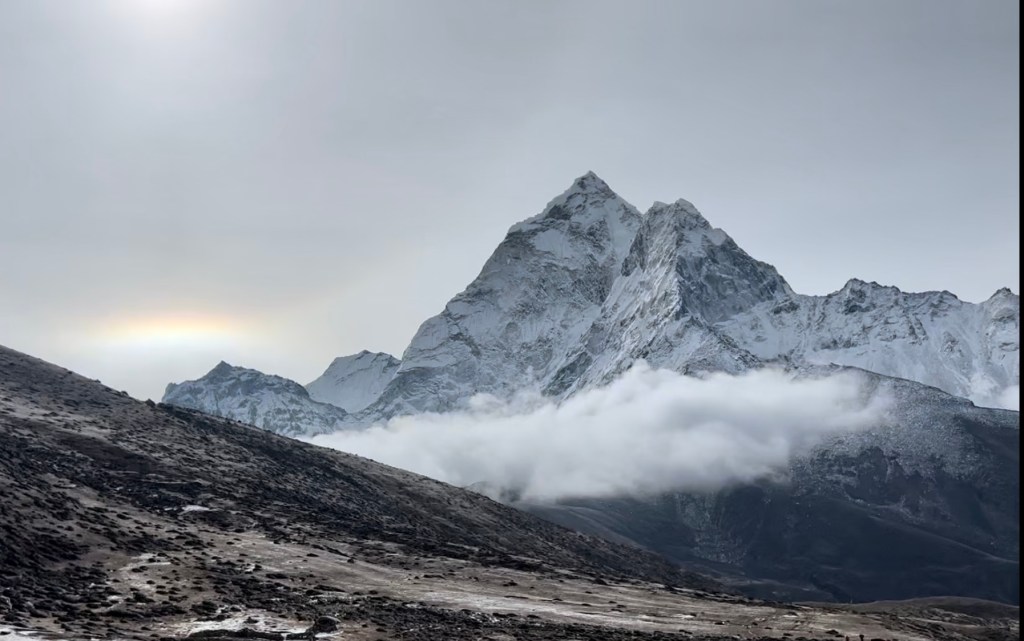
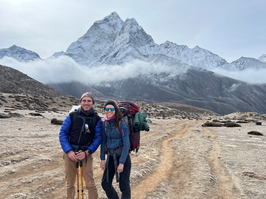
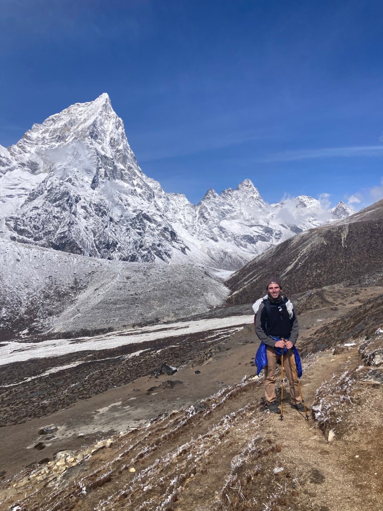
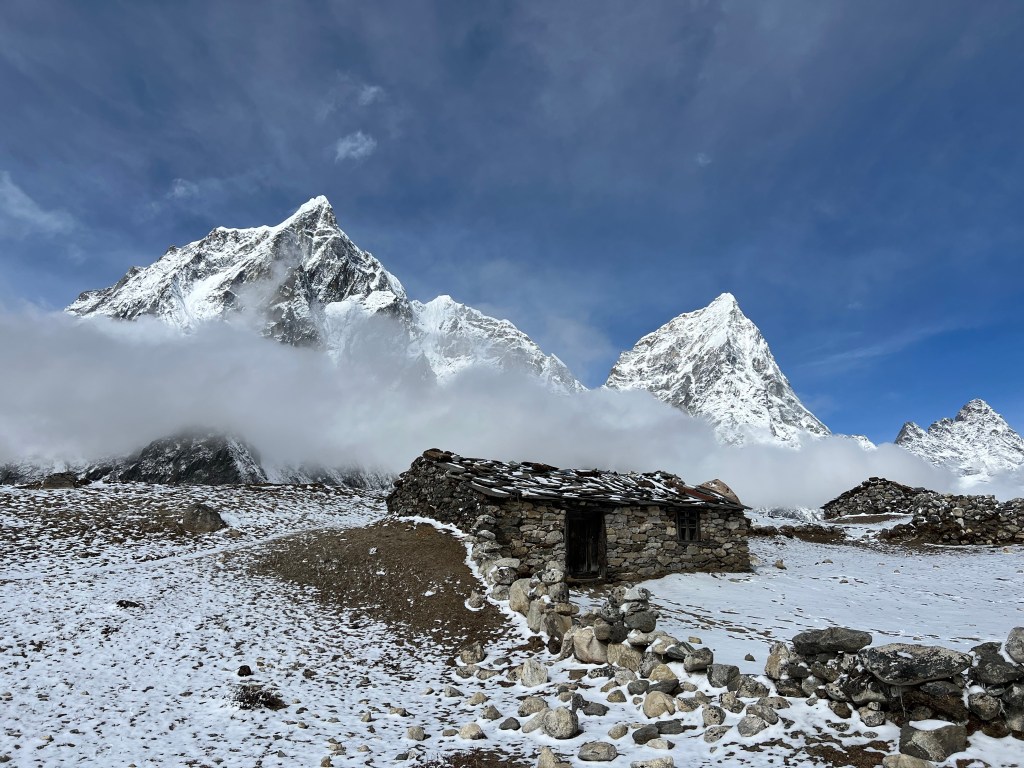
A few hours later, the weather had cleared again and I decided to walk around the town trying to find a path to the river we followed throughout the day. While searching for a path, I was met by a former-sherpa-now-teahouse-owner, who invited me in for a cup of coffee and a chat. I learned that after being a porter and guide for many years, the man (who I never the name of) had saved up enough money to purchase a teahouse, where he and his wife serve weary travelers and sherpas. Quite proud of his time as a Sherpa, he told me of his SEVEN summits of everest (with photos for proof of course), and the numerous other high-altitude treks he had done over his career. I admitted that I had never really considered mountaineering as something I would enjoy, but that I had already felt a strong connection to the region. He then proceeded to tell me of some of his favorite summits, and after some deliberation, we mapped out summits I could consider in the future – if I still loved the region after 2 weeks of exhaustion and the bitter cold. On the top of the list was Ama Dablam – and this is the mountain that, after two weeks of trekking, I have fallen in love with. More on that later. While I was chatting with the teahouse owner, several porters came into the house and sat down at the kitchen table we were chatting at. While simultaneously continuing our conversation, the owner proceeded to brew up some tea and fetch some bread for the porters. The owner explained to me that he, and many other local teahouses, never charge porters for food and tea – and that it is a form of respect and courtesy to the hard, unglamorous, work these load bearers do to help sustain the region with supplies and food.
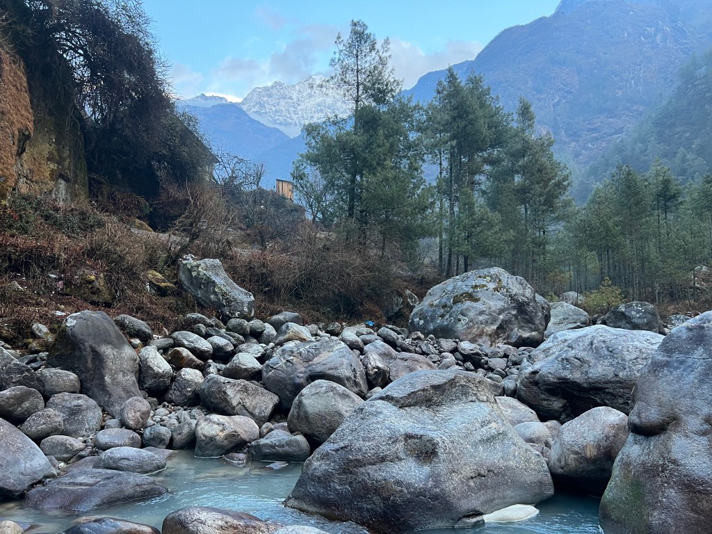
After our chat, the teahouse owner showed me the way down to the river and let me on my way with a smile and wave. Heading to the water, I rested by the rocks, enjoying the views and the water rushing by my feet. I knew here that I would love this place.
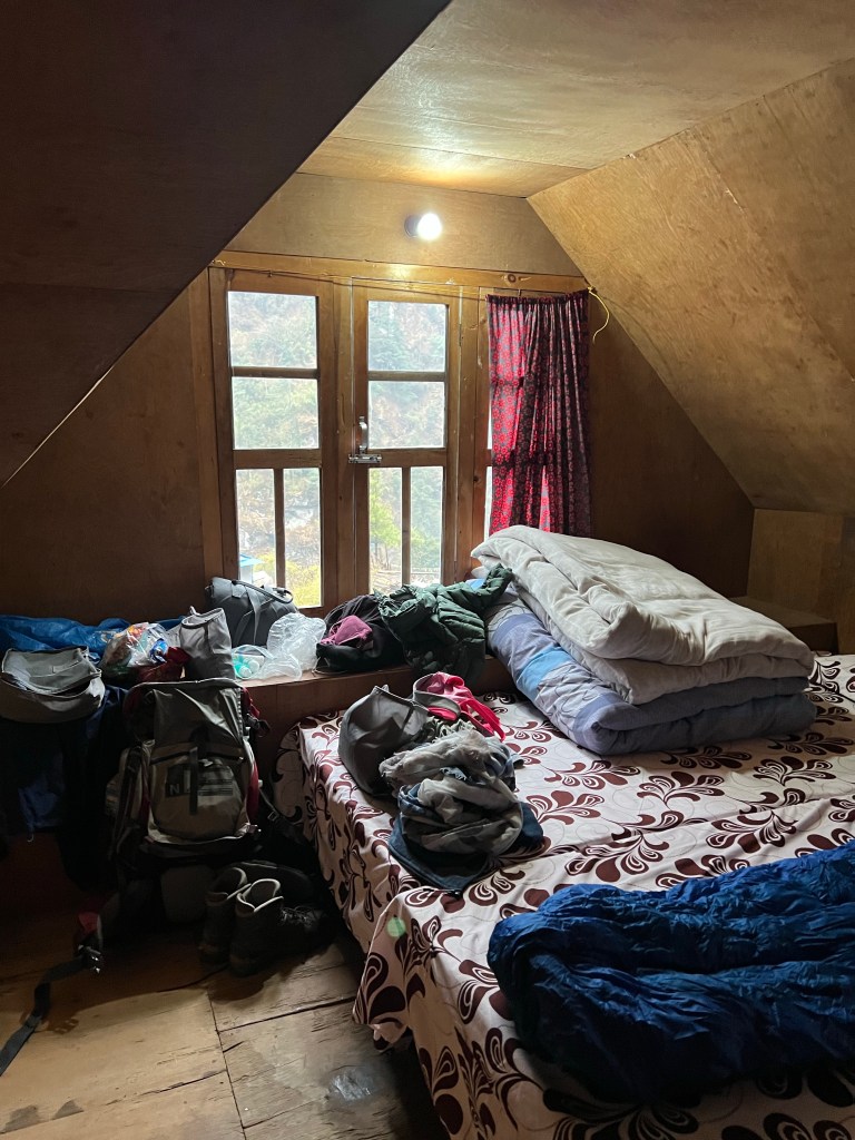
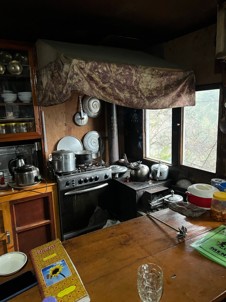
Back at our teahouse, Sophie, Pierre, and I ate, dried our clothes, and relaxed by the fire.
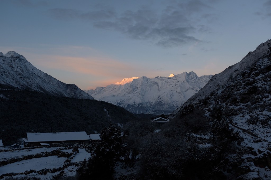
Day 2: Benker (2,630m.) -> Namche Bazaar (3,440 m.)
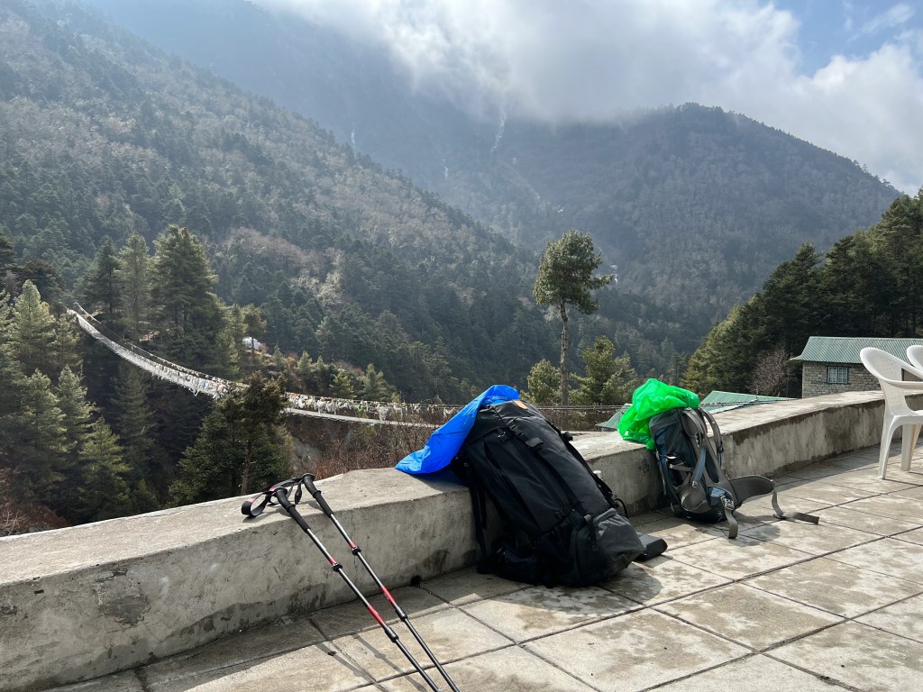
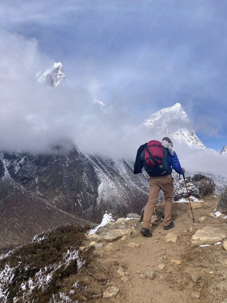
The next day was the first of many challenging include treks. Carrying a 15kg (33 lb) pack, I knew this would be the first true test of my strength and packing ability. Fortunately, despite the increasing altitude, sharp ascent, and a heavy pack, we all made it to Namche in a relatively fast pace of 4 hours. We would later discover that Sophie’s and my strength and speed as trekkers would come in handy as we tried to fit as many destinations as we could in our short 2-week itinerary.
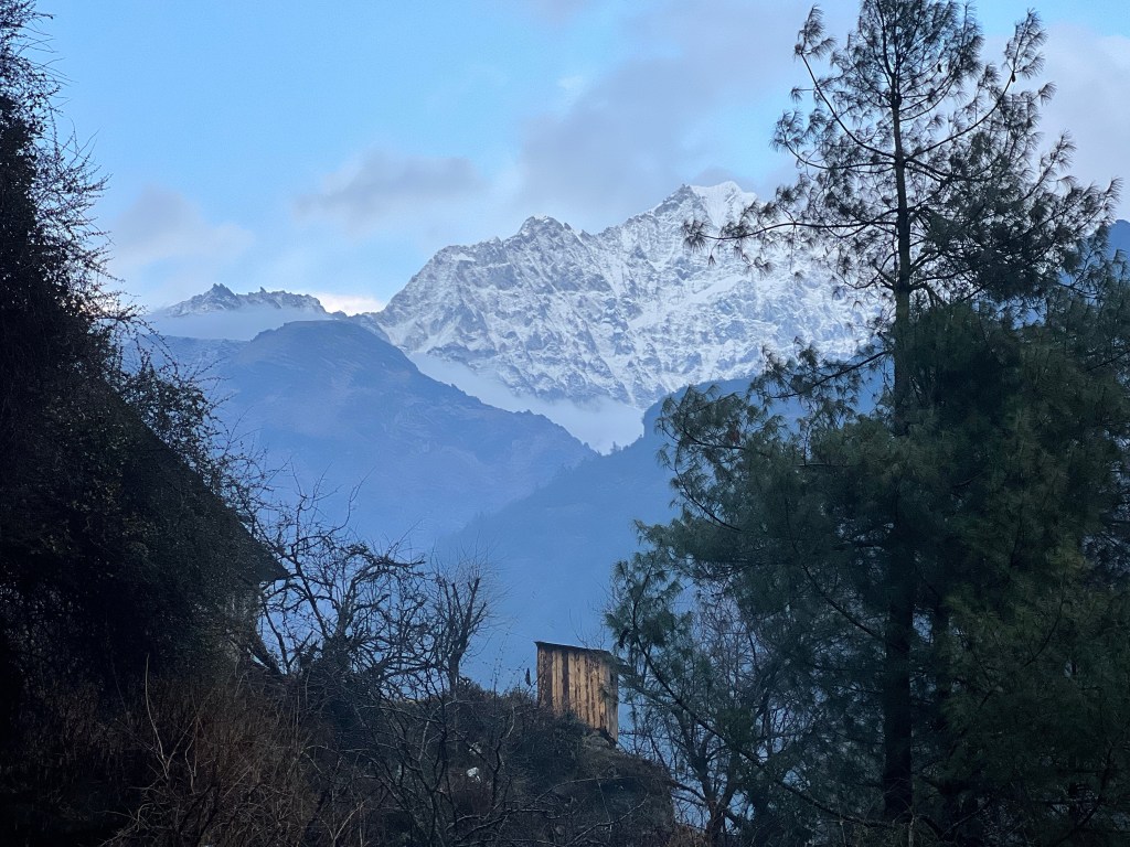
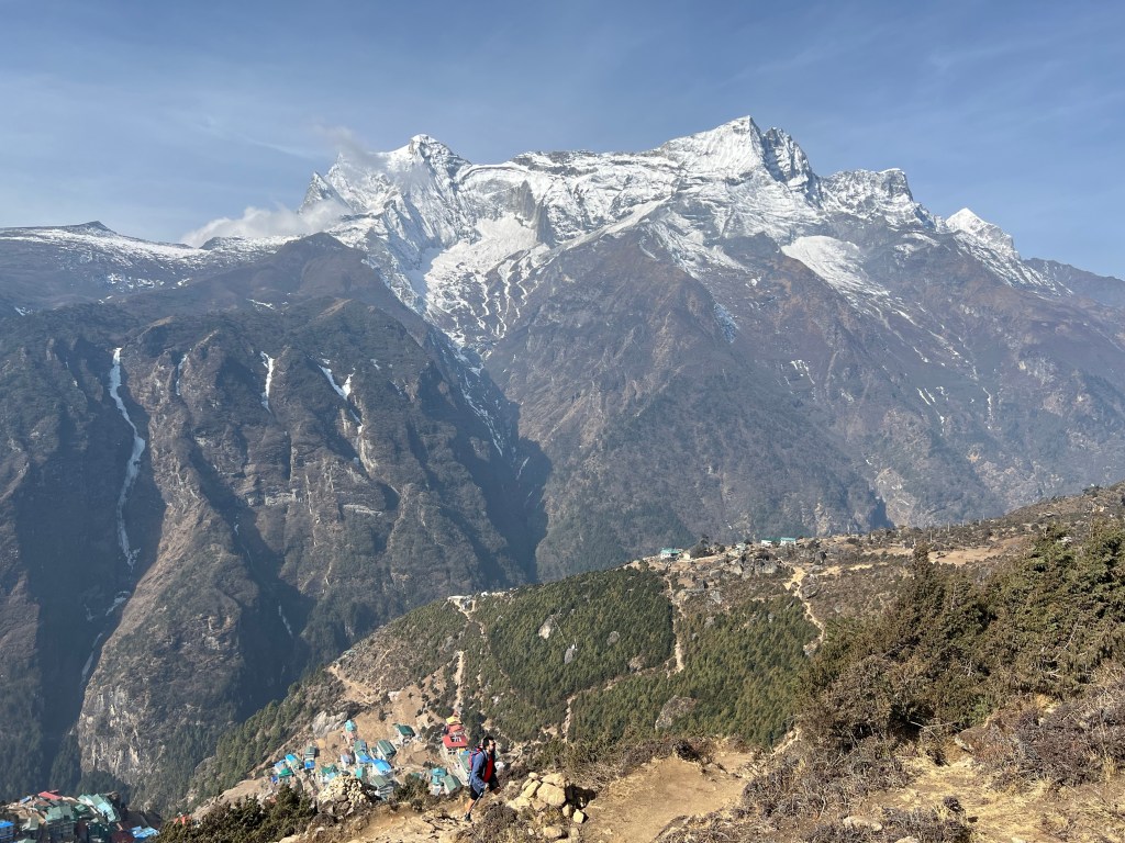
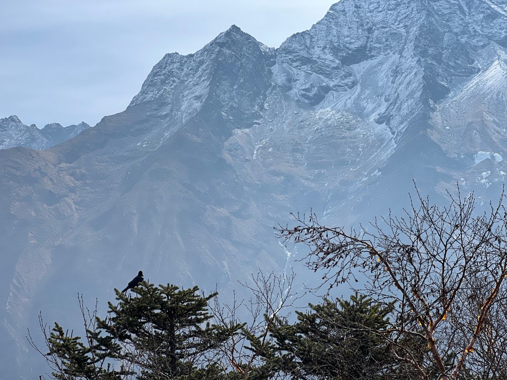
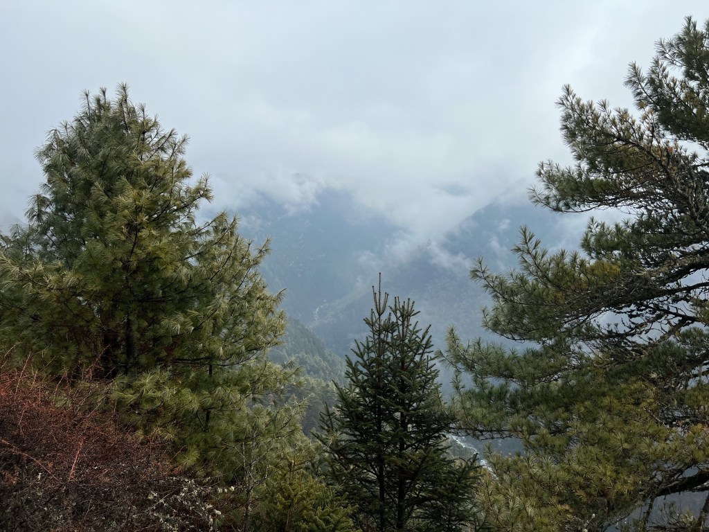
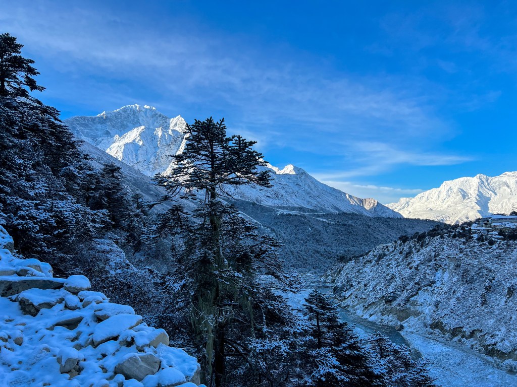
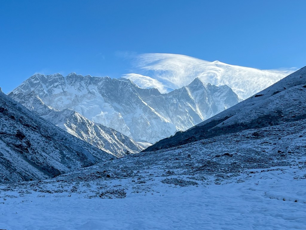
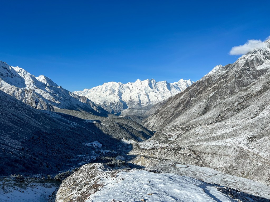
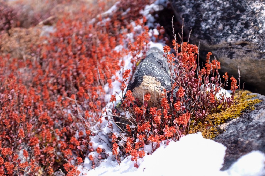
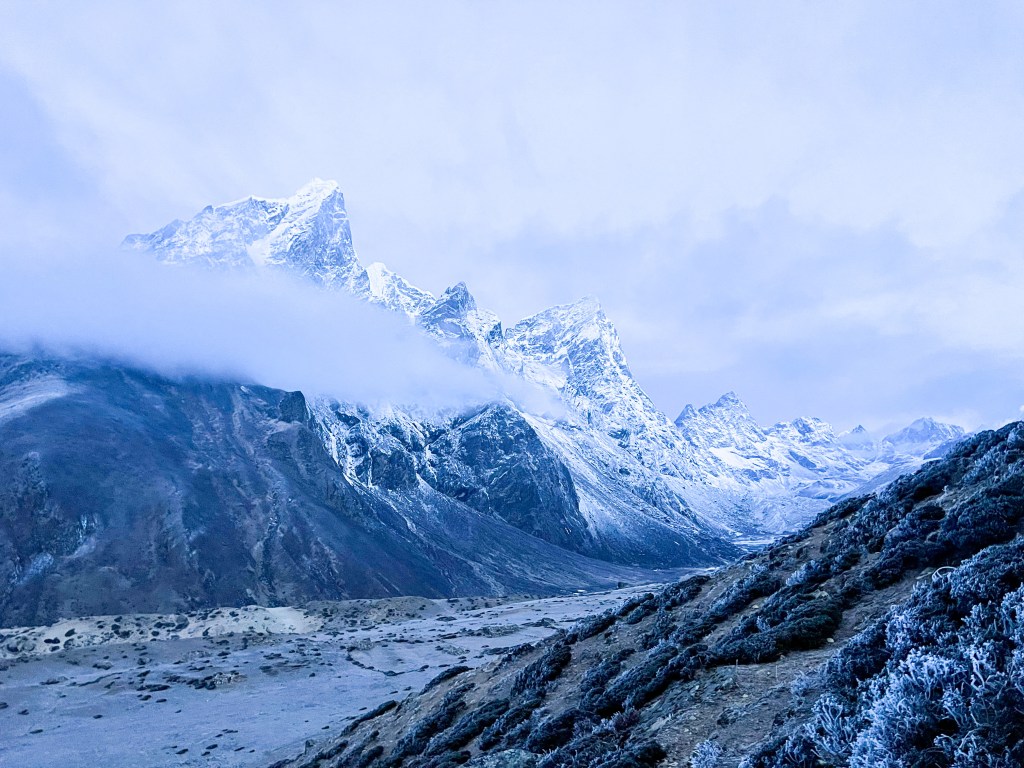
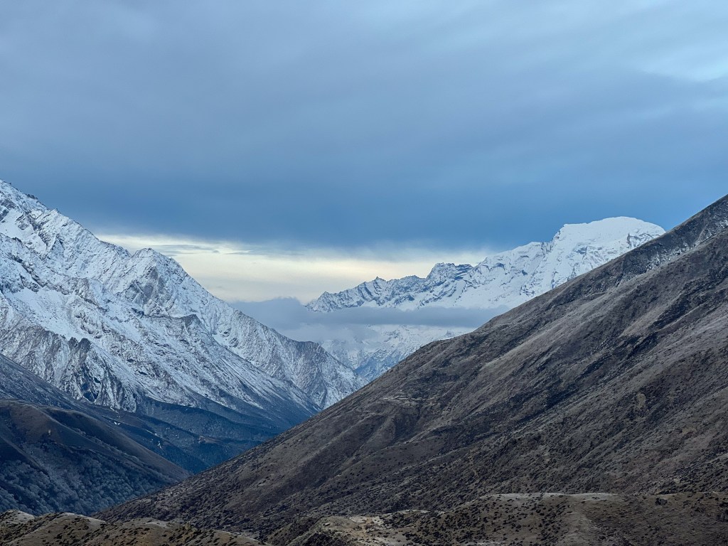
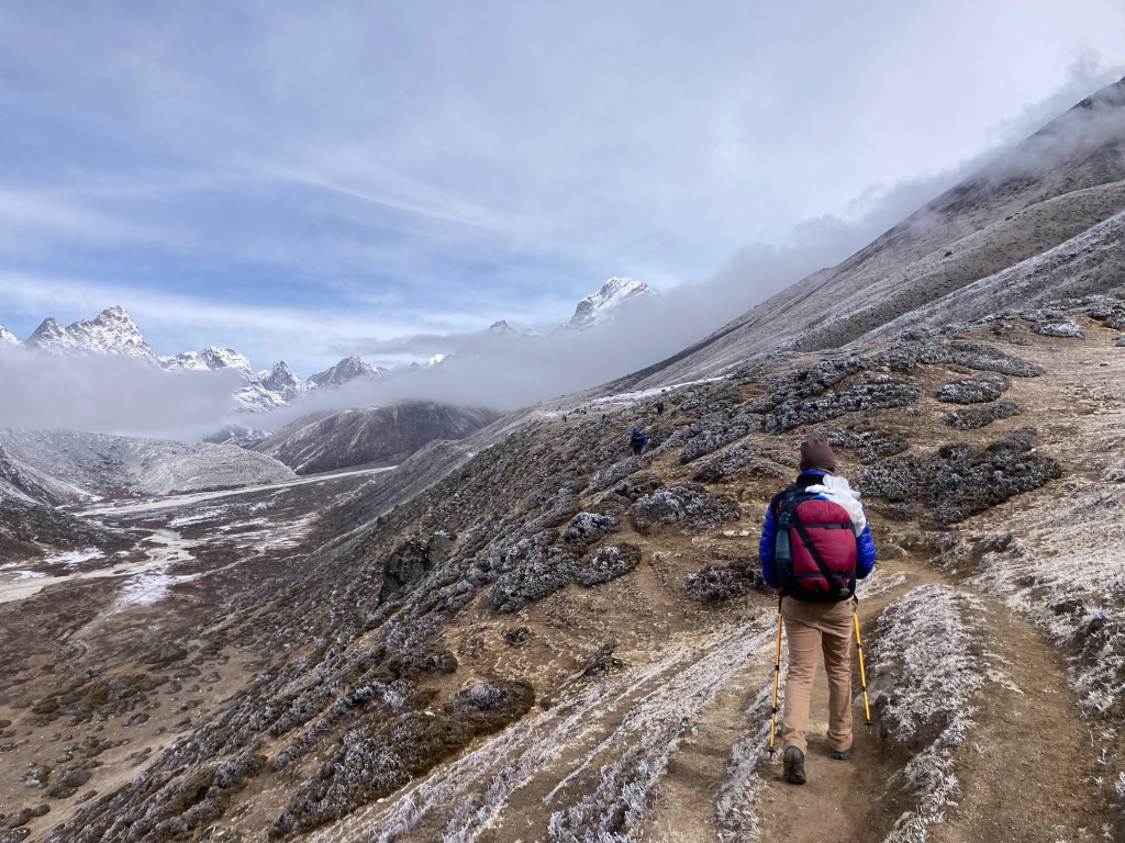
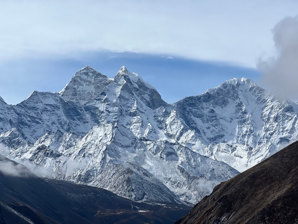
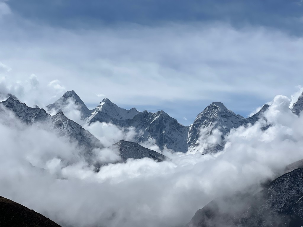
As we managed the trail, we were fortunate to have some incredible views of the mountains to come – as well as beautiful vegetation that we would not see again for many days as we hiked higher and higher in altitude.
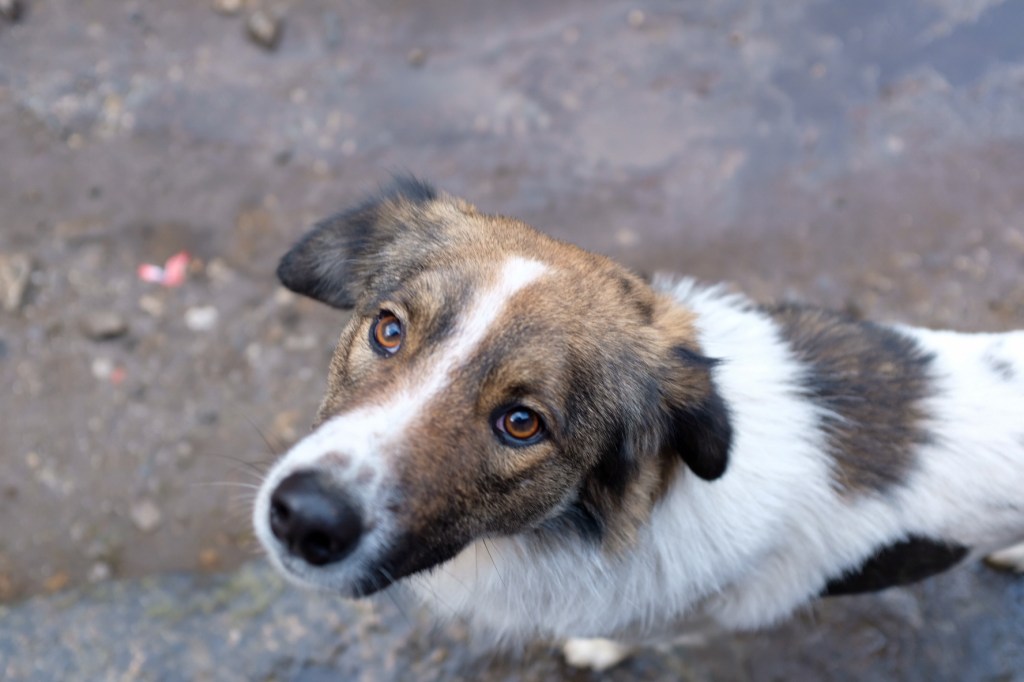


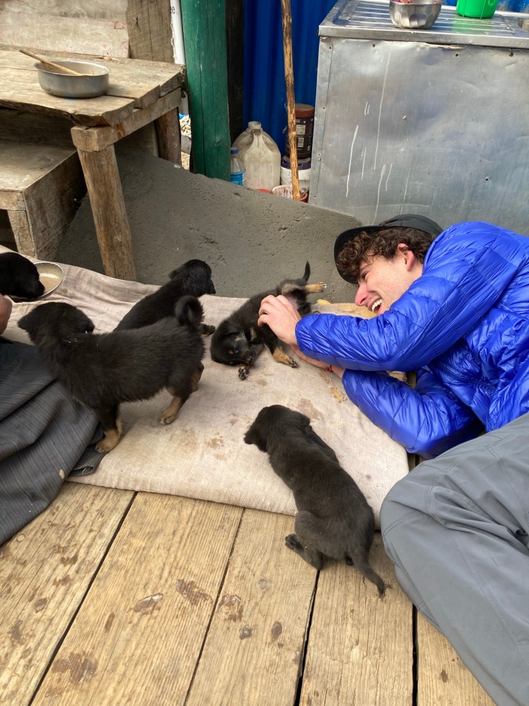
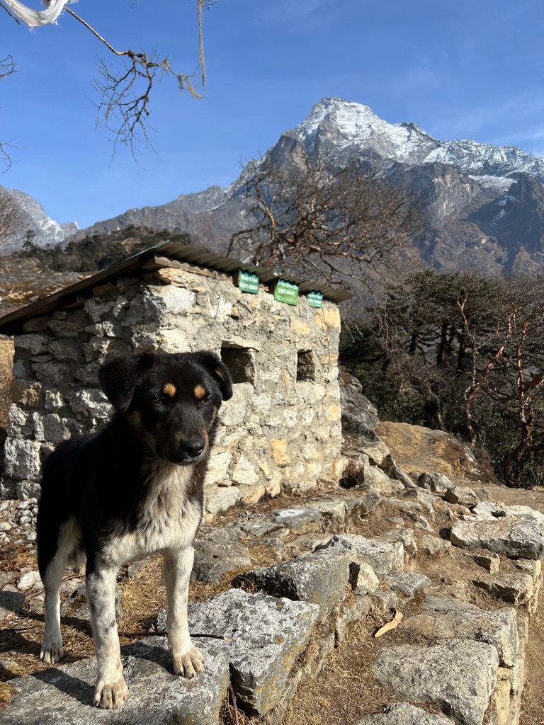
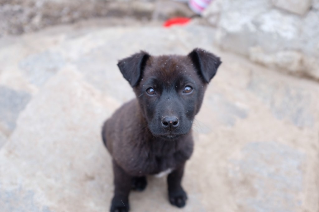
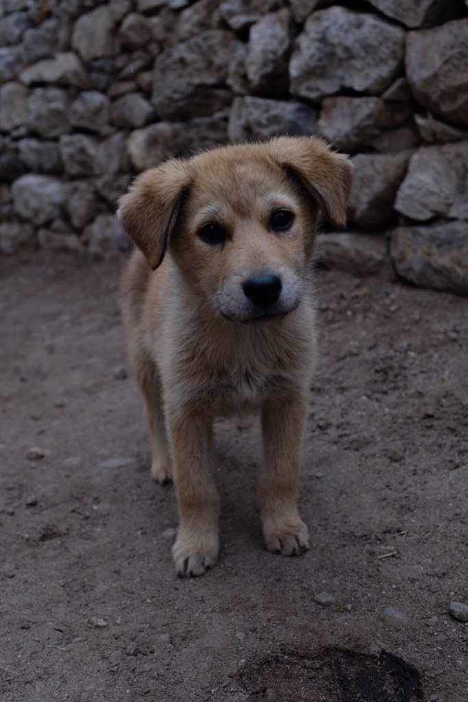
Along the way to Namche, in the town of Monjo, the three of us stopped for tea and met a litter of puppies (we would see them again in two weeks and admire their enormous growth over that time).


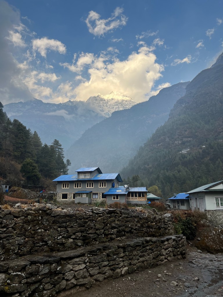
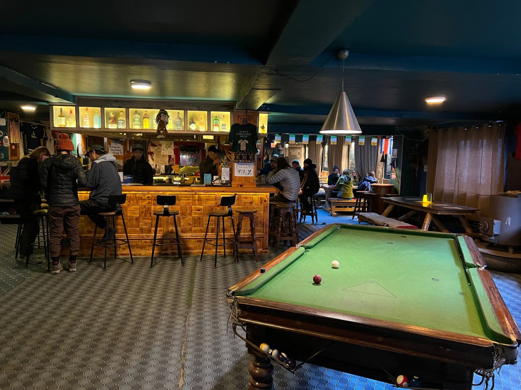
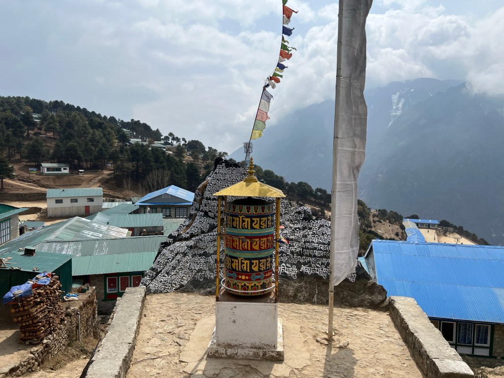
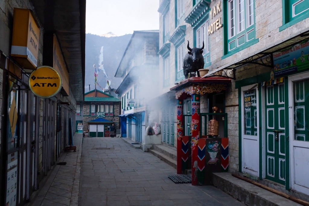
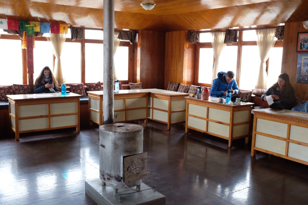
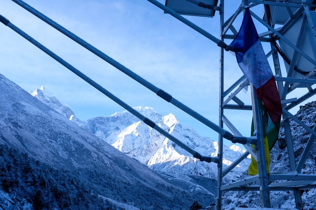
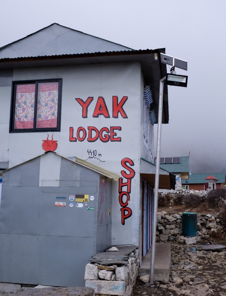
We arrived in Namche Bazaar around 1:00pm. Namche is a a popular stopover town for trekkers in the Khumbu region, especially for altitude acclimatization (we would stay here one extra day for our bodies to adjust to the altitude). The town has a huge variety of teahouses, hotels, stores, cafes, and restaurants. There is also an Irish pub, which is said to be the highest and most remote Irish pub in the world!

After finding lodging, we ate some momos and went to the German bakery for coffee and cake, and too enjoy the sun.


Later in the day, Sophie and I went to find our friends from the airport – Wendy & Jose, and met a couple of other trekkers from Germany. We all went to the Irish Pub, of course…


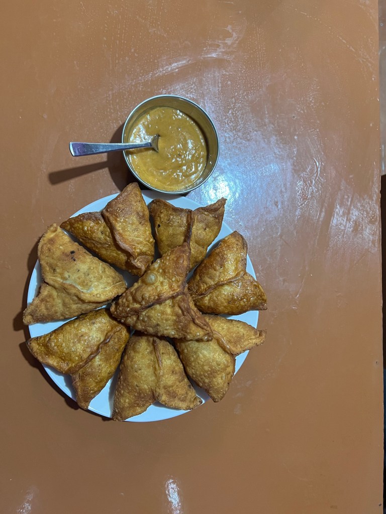
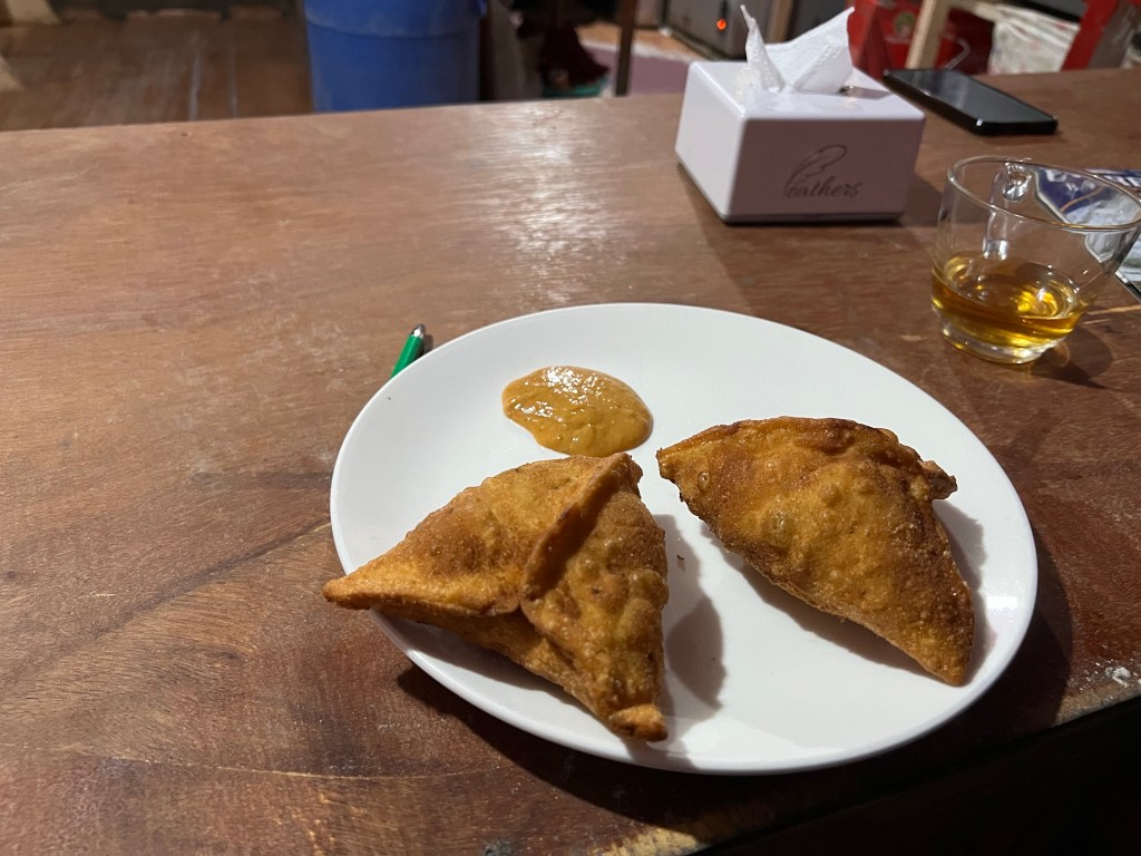
And in the evening, Sophie, Pierre, and I went to a local Nepali sherpa joint and ate some of the best samosas of our lives. before heading to our self-designated 8:00pm bedtime.
Day 3: Namche (3,440m.) Acclimatization Day; Everest View Hotel (4,000m.)
The ideal method to develop acclimatization to the altitude is to (1) ascend slowly, especially after 3,000 m., and to climb high, sleep low. This idea is to expose the body gradually to higher and higher altitudes, forcing it to adjust, and then returning back down to sleep and recuperate at the altitude that the body is already used to.
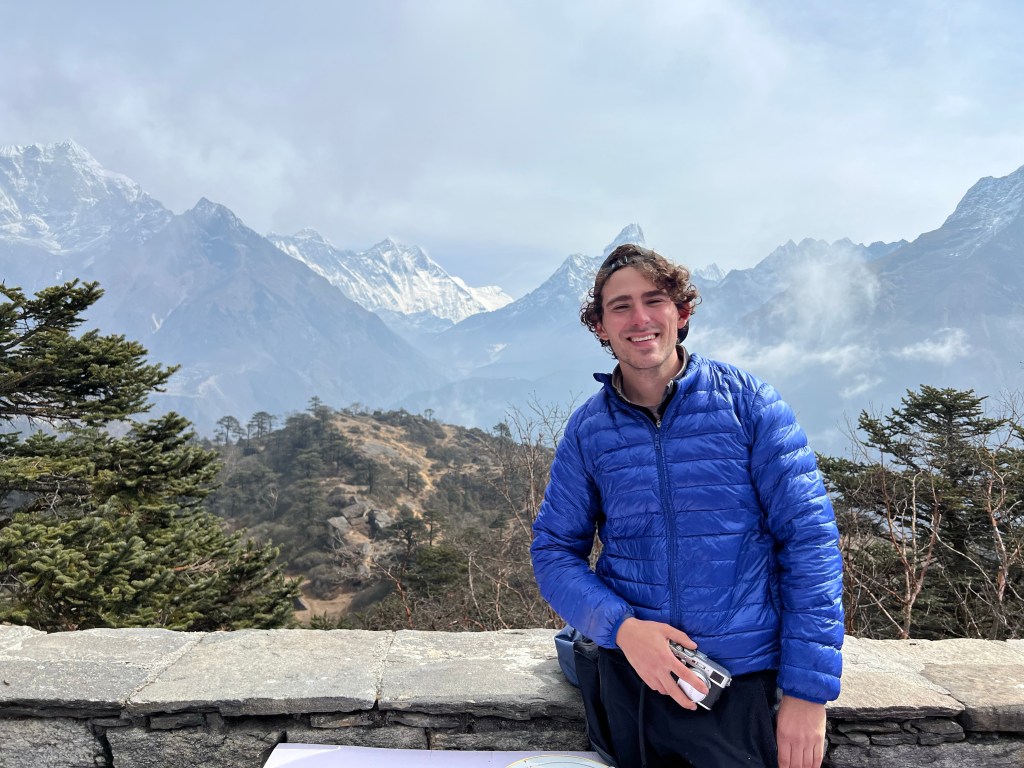
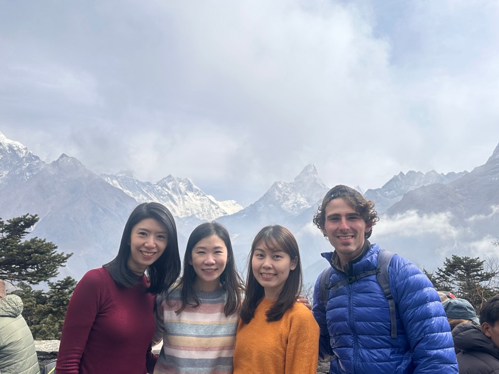
During our acclimatization day, we took a 4 hour out-and-back day hike to Everest View Hotel (4,000 m.) and got our first views of… you guessed it… Mount Everest!

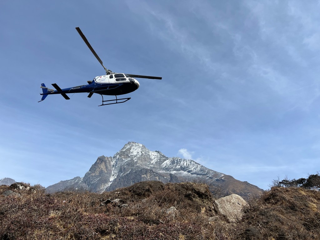
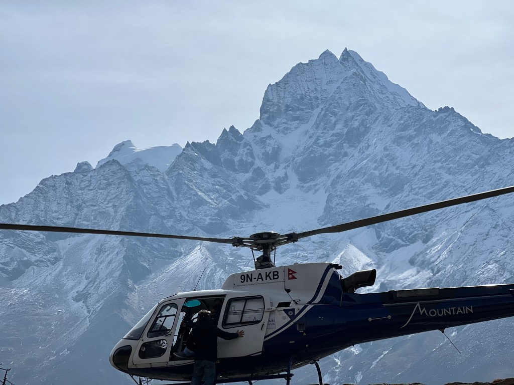
It was here that I also learned of the more luxurious options for visiting Everest Base Camp. For a mere $1,500 (for group) or $4,000 (for private), tourists can catch a helicopter from Kathandu, fly to Everest Base Camp, fly to Everest View Hotel for breakfast, and be back in Kathmandu for lunch. While a part of me finds this frustrating – seeing my two week journey compressed into a few hours – I have eventually come around to this option as a reasonable way to give people less physically able a taste of what the Himalayas have to offer.
The rest of the day, we mostly relaxed and enjoyed the cheap food and free wi-fi. Namche is often considered the Gateway to the Himalayas and we knew that we needed to rest for the journey to come.
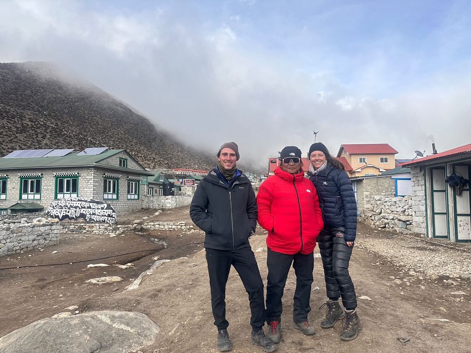
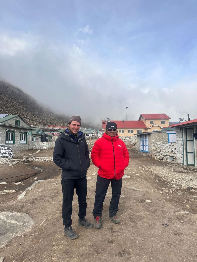
This was also our last day with Pierre, who would be heading in a different direction from us the next day. We spent the night drinking tea and listening to his stories, from trekking in Southeast Asia in his 20’s to climbing some of the highest peaks in the Himalayas in his 60’s. He was a true mentor and source of knowledge for Sophie and me, and we would regularly revert back to him in our thoughts throughout our journey.
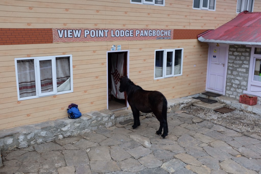
Day 4: Namche (3440m.) -> Pangboche (3,985m.)
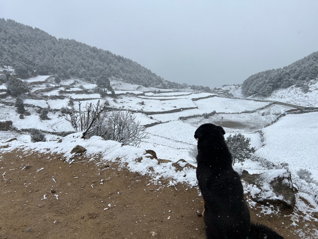
The next day, Sophie and I started bright and early to begin our 5 hour trek. The night before, it had begun to snow,, and when we began our trek, the snow, while not intense, was still fluttering down on us – offering a quite beautiful, albeit cold, 5 hour trip.
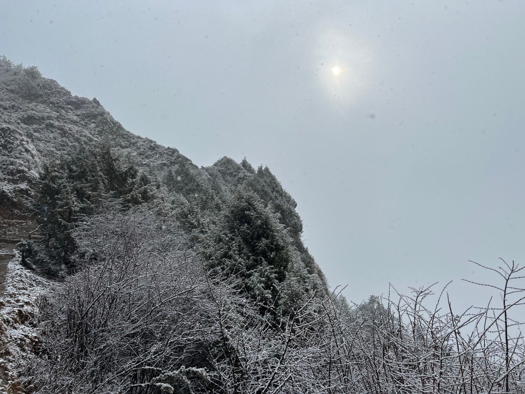
Fortunately, by the afternoon, the snow had cleared, and the remainder of our trek was welcomed by sunshine and some beautiful views.
Arriving in Pangboche, we explored the small town
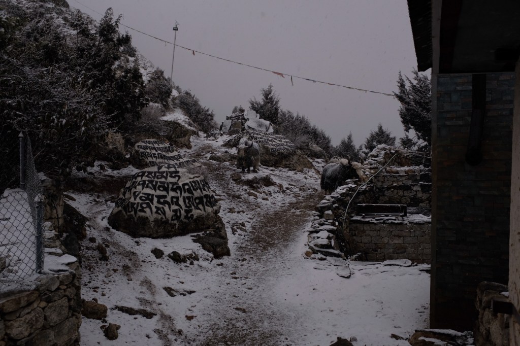
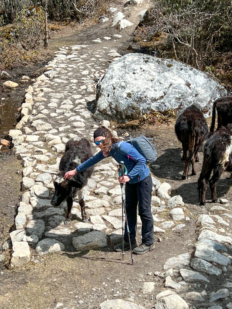
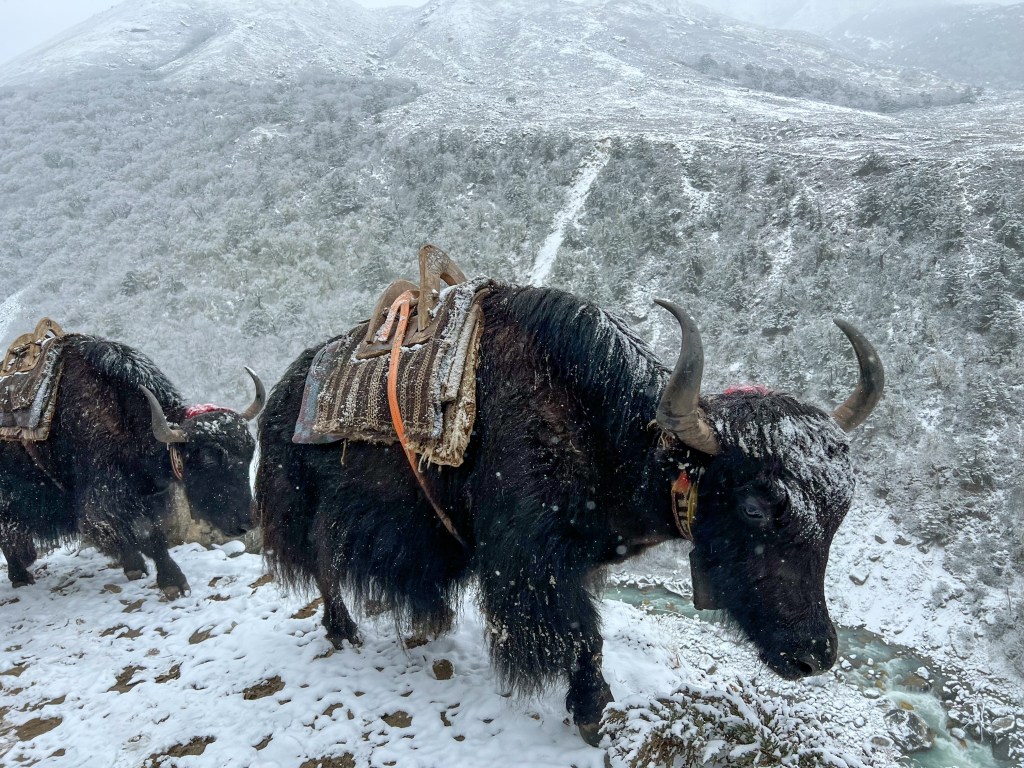
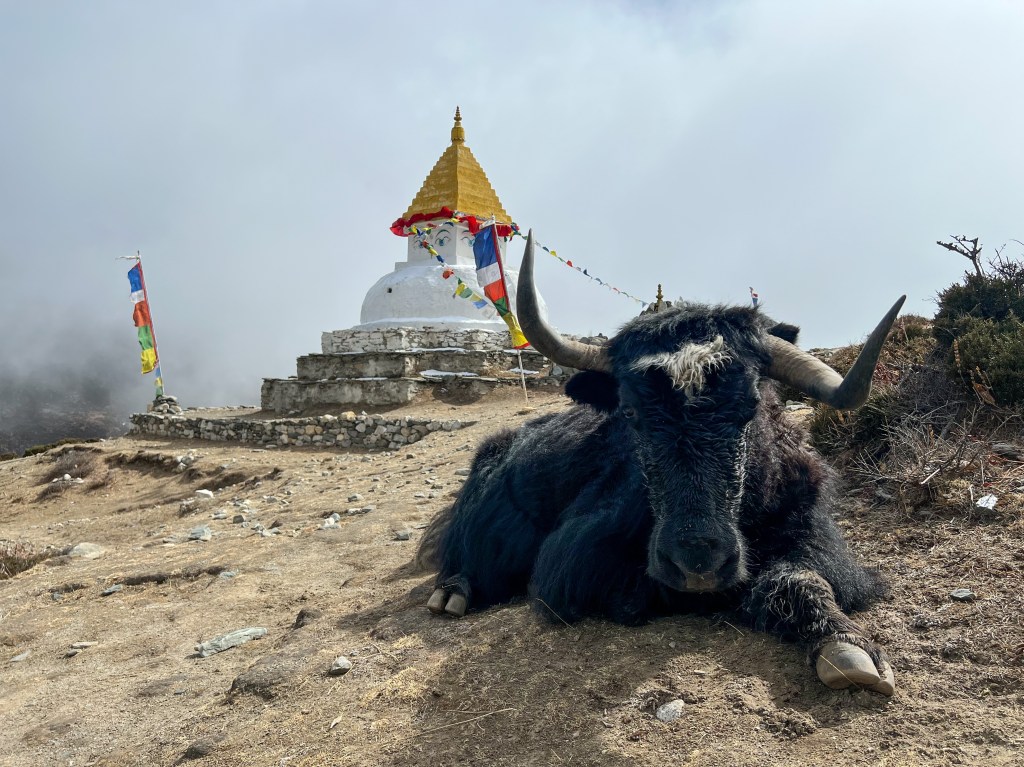
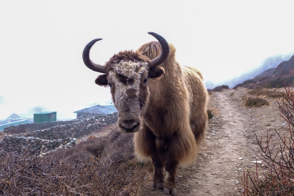
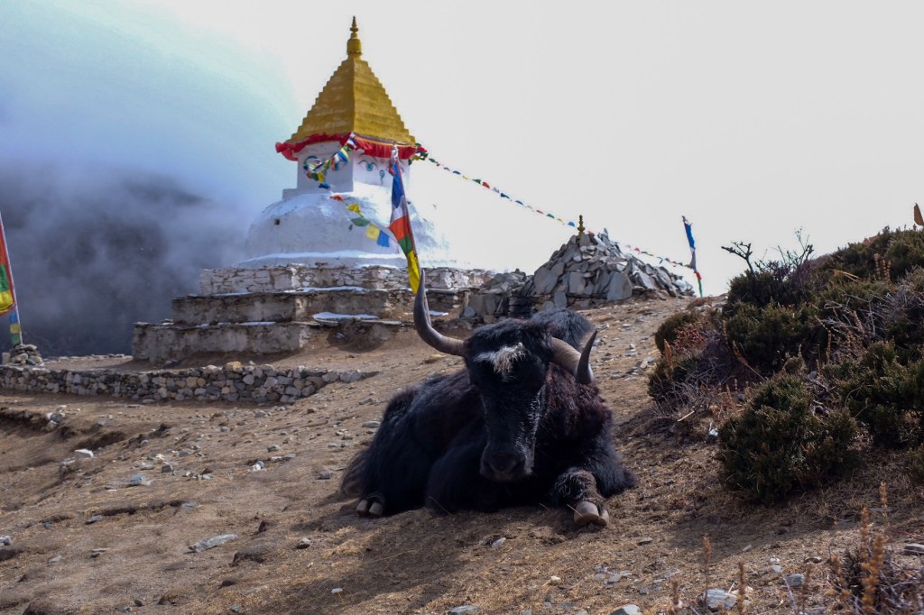
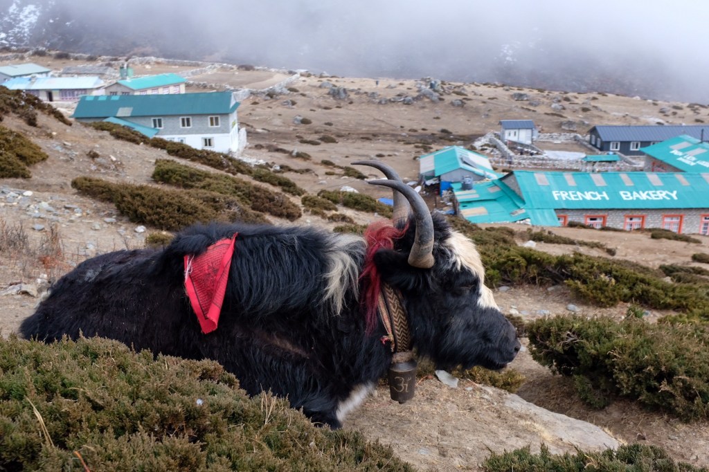
And I got my first view of the Yaks!!

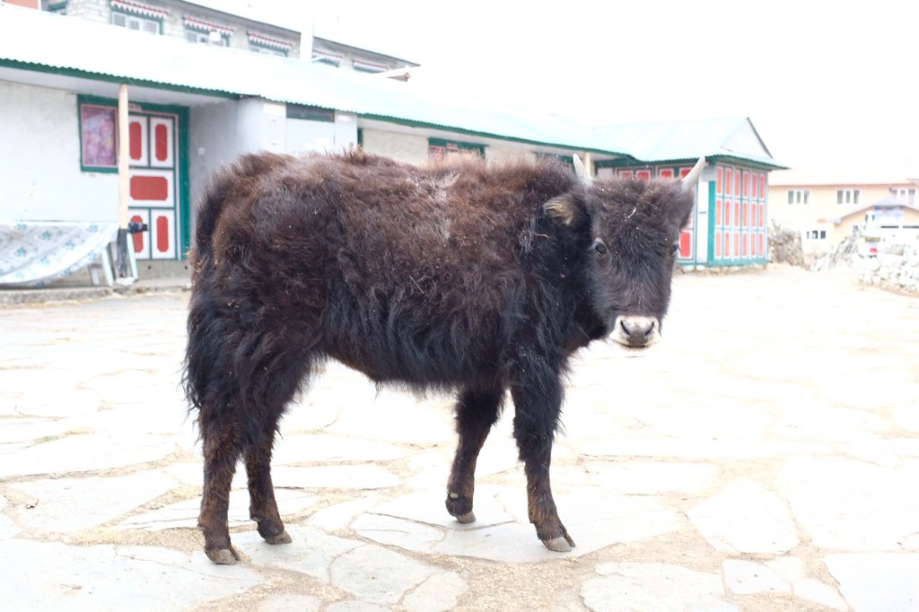
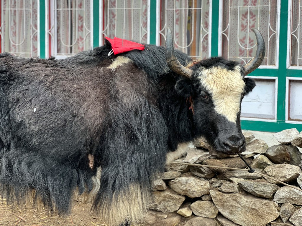
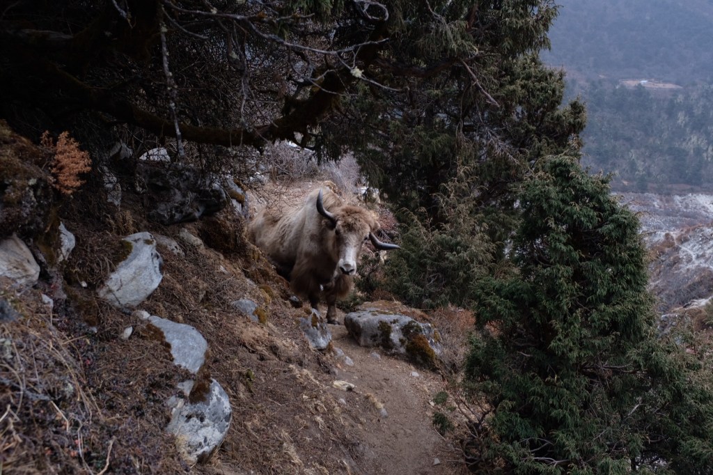
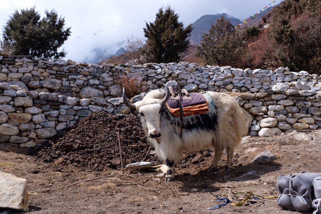
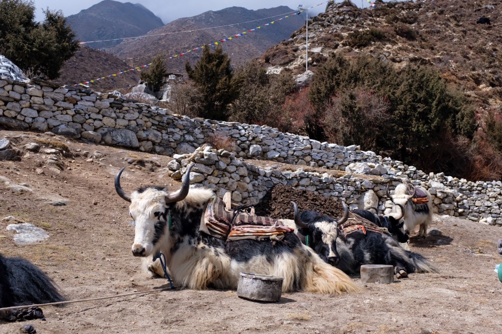
Yaks are in fact, quite fascinating animals! It is a species of long-haired domesticated cattle only found in the high mountains. Yak physiology is well adapted to high altitudes, having larger lungs and heart than other cattle, along with a greater capacity for transporting oxygen through their blood. As a result, Yaks have a very difficult time living in lower altitudes and are prone to heat exhaustion, unlike regular cattle. Skittish at first, but quite affectionate if you approach them slowly, yaks have come to be one of my favorite animals, on par with the African Elephant.
Day 5: Pangboche (3,985 m.) Acclimatization Day; Ama Dablam Base Camp (4,640 m.) & High Camp (5,100 m.)
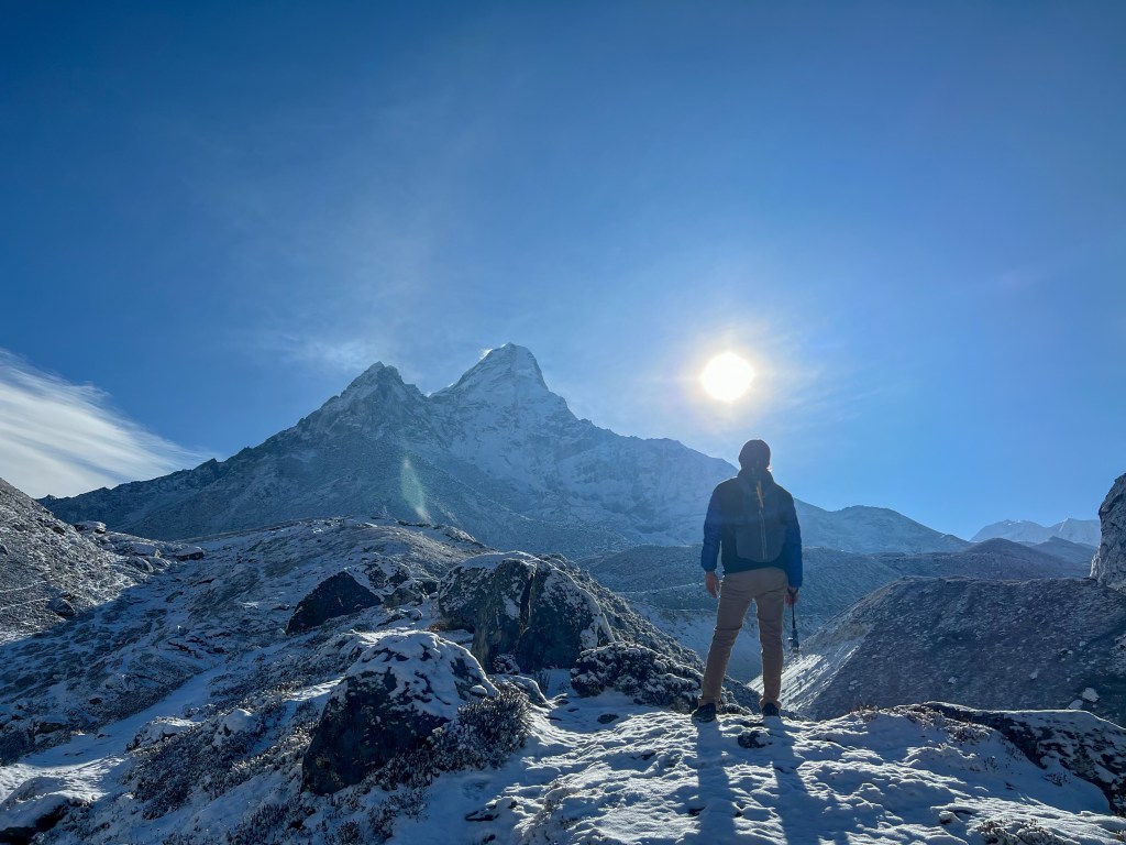
The next day, Sophie and I headed out at sunrise along with two Israeli’s we met at our teahouse, to catch the views from Ama Dablam base camp and high camp.
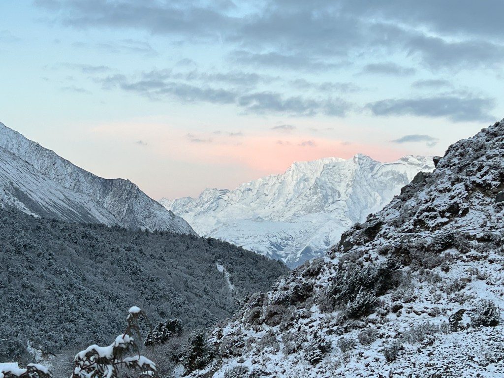
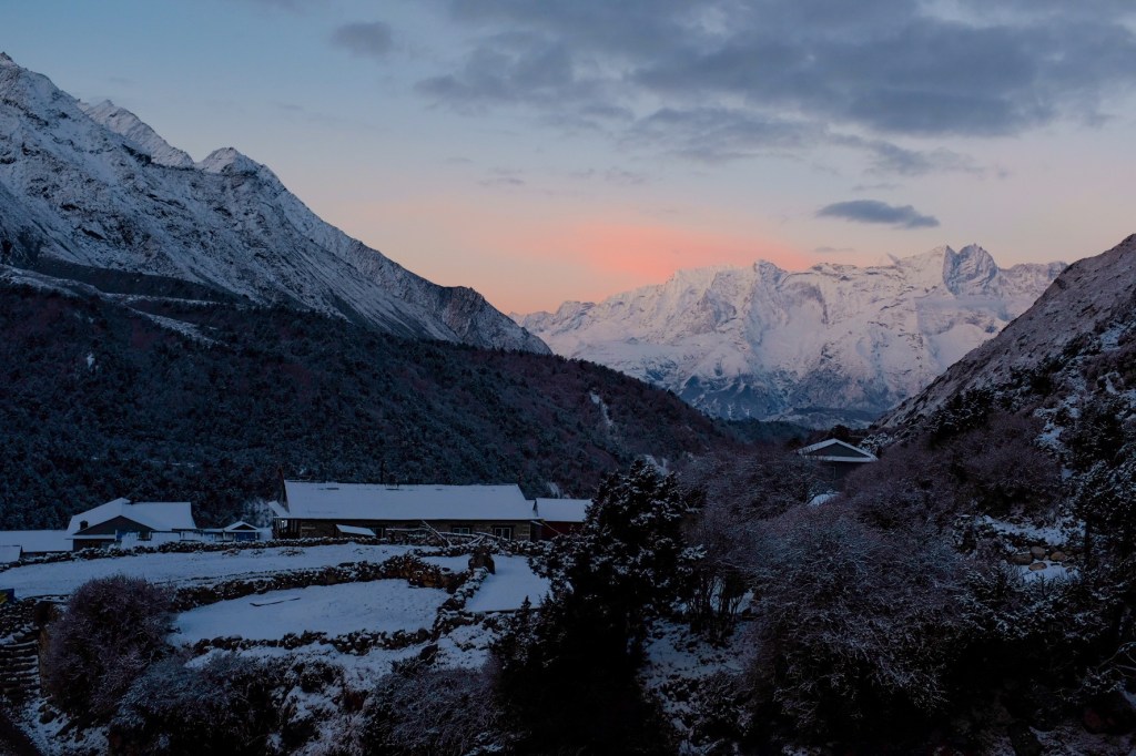
Brushing our teeth outside, we were immediately confronted with the pink glow of a sunrise on the mountains, our first!
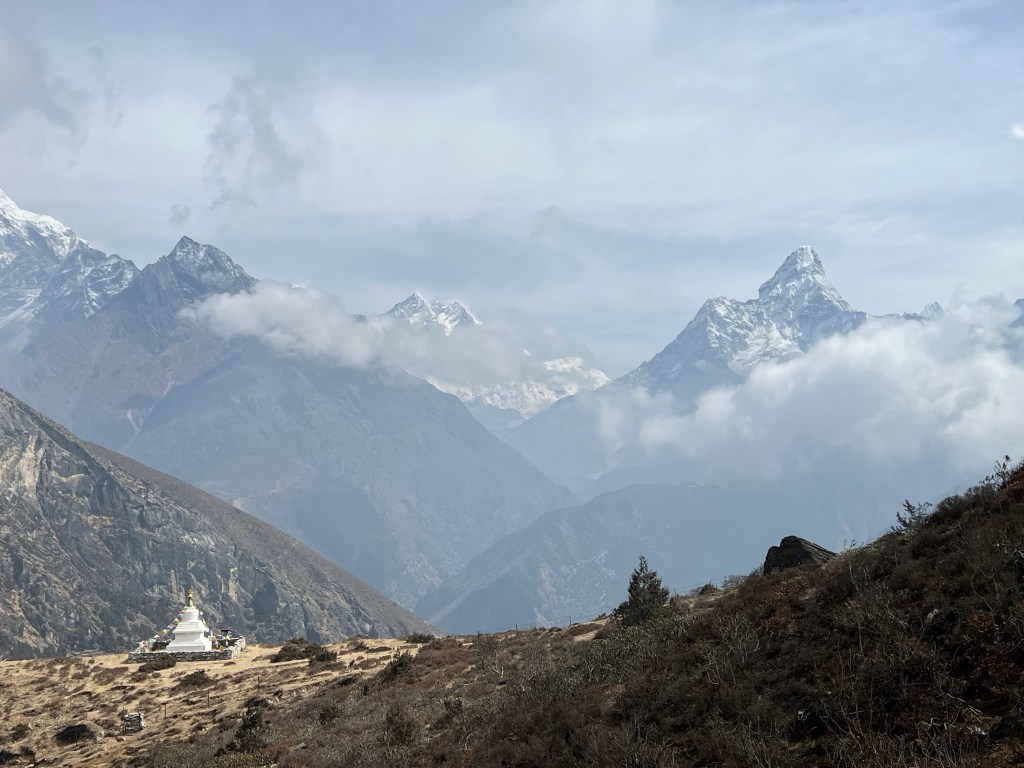
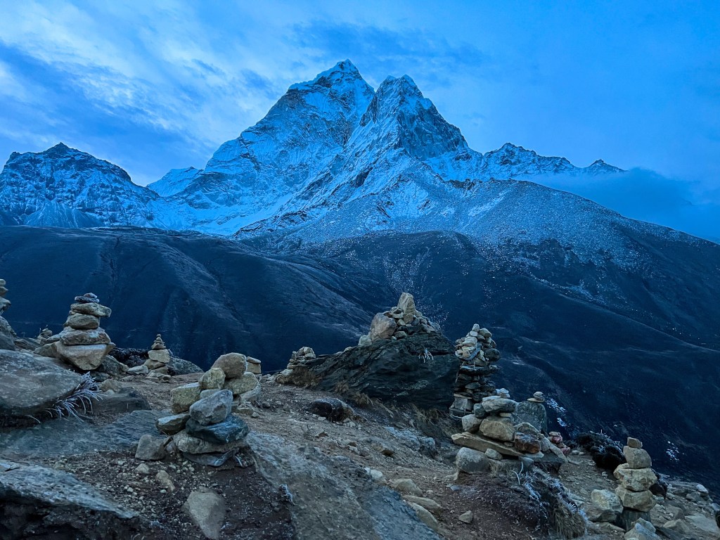
Two hours later, and we reached Ama Dablam base camp and (eventually) high camp, and were rewarded with spectacular views of the mountain ranges surrounding Pangboche.
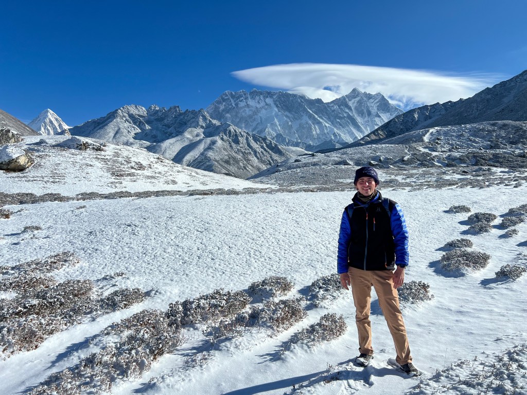
Spending a couple hours above 4,600 m. to help acclimatize, I could start to feel the power of the altitude. I found myself fighting for each step, huffing and puffing, and taking regular breaks to make sure my heart rate didn’t go too high. This is all normal, of course, as I helped my body adjust to the new environment – but I was glad to drop down 1,000 meters after the long day in the mountains – my body had not quite adjusted to 5,000+ meters yet!
The rest of the day, we dried our clothes and rested by the fire, prepping for the next journey up to Dingboche.
Day 6: Pangboche (3,985m.) -> Dingboche (4,260m.)
Fortunately, today’s hike was relatively easy and short, lasting only about 3 hours. The weather was relatively cloudy and snowy this day, so the shorter trek was greatly appreciated.
Arriving in the early afternoon, Sophie and I found a teahouse, and for the first time, bought wi-fi! We found out Ram and Wendy were also in Dingboche, so we all met up for some tea and coffee.
Day 7: Sunrise Hike to Chukhung Rio Viewpoint (4,750m.) & Trek Dingboche (4,260m.) -> Lobuche (4,930m.)
Often, trekkers decide to take an acclimatization day in Dingboche, but since Sophie and I had already trekked to 5,000m. for Ama Dablam high camp and took an acclimatization day in Pangboche, we felt comfortable proceeding to Lobuche.
Bright and early, with beautifully clear skies in our minds, Sophie and I headed up the mountain for a sunrise at Chukhung Ri Viewpoint
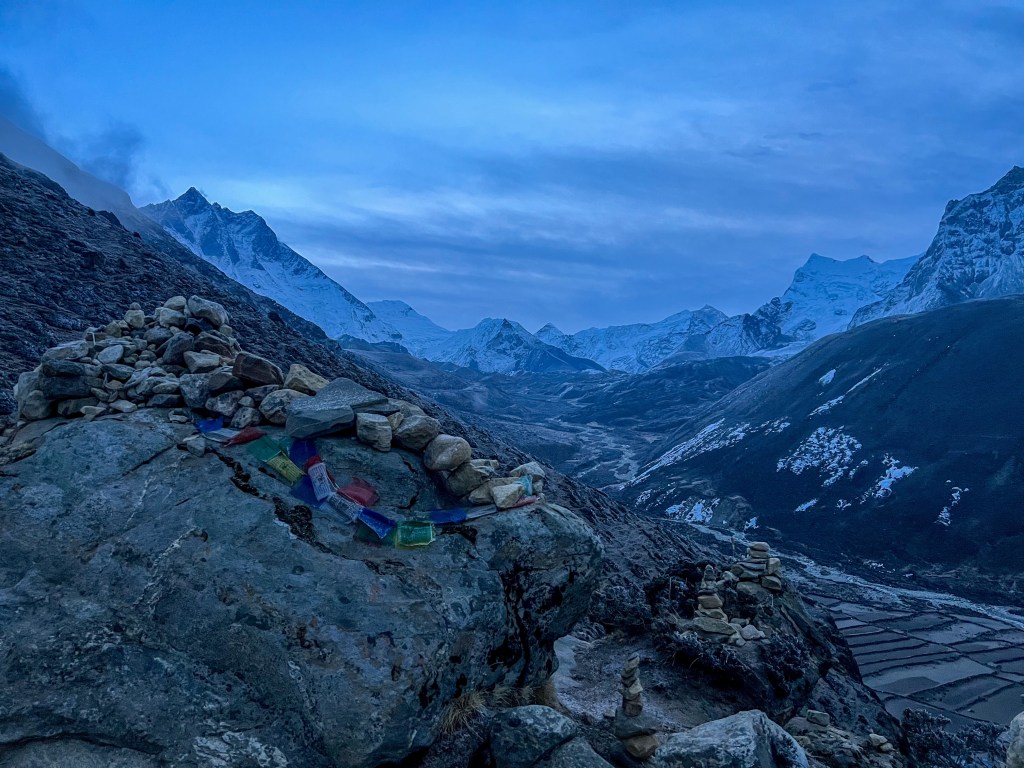
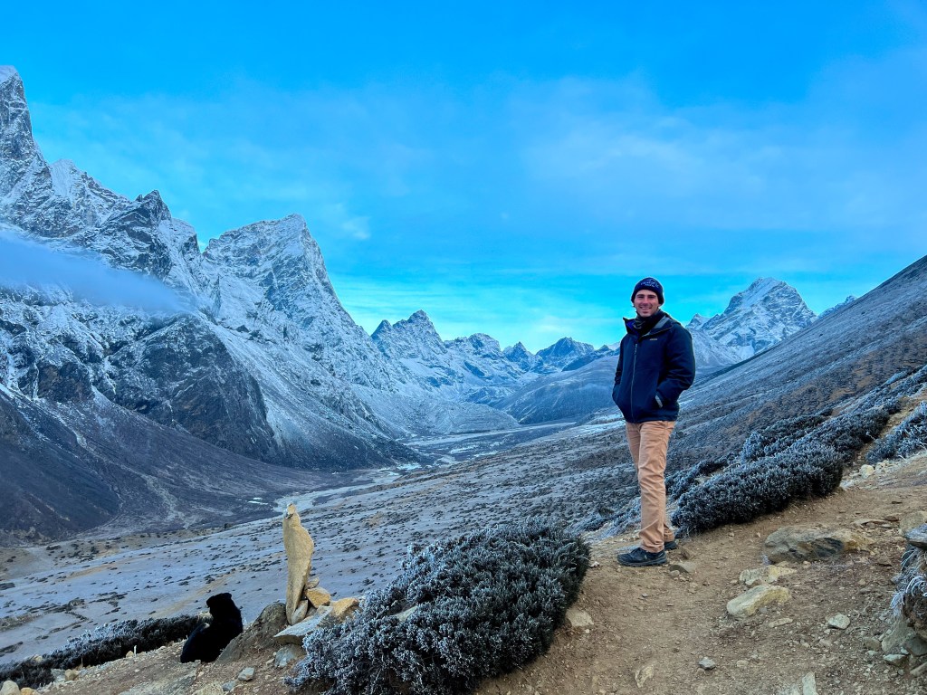
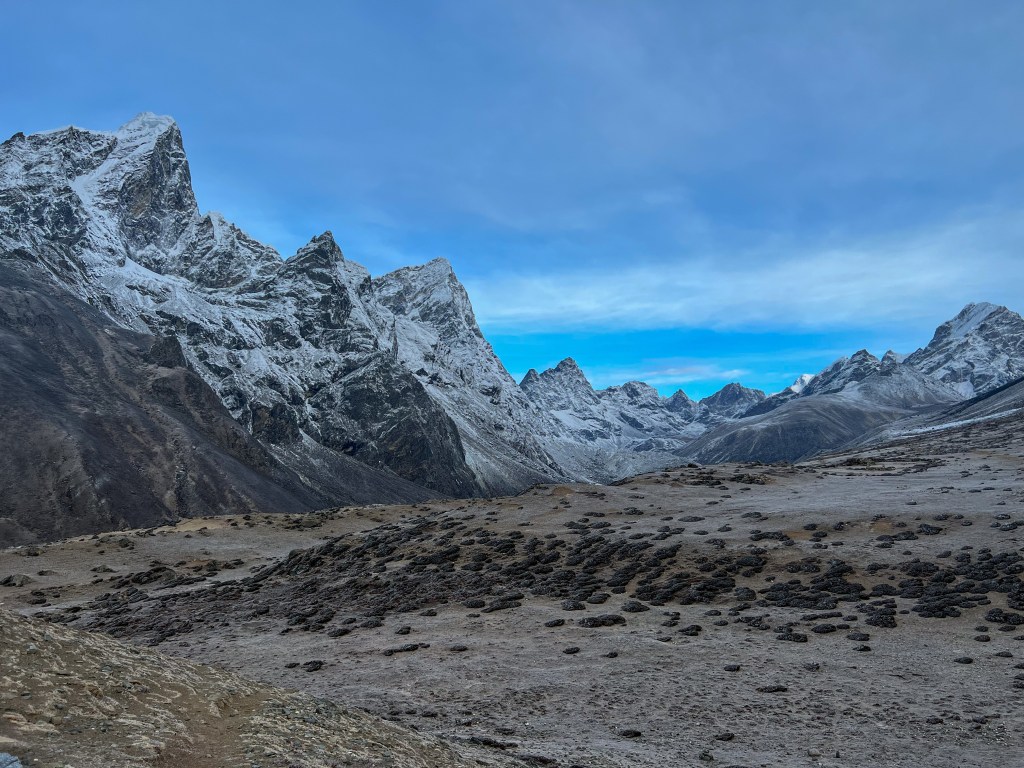
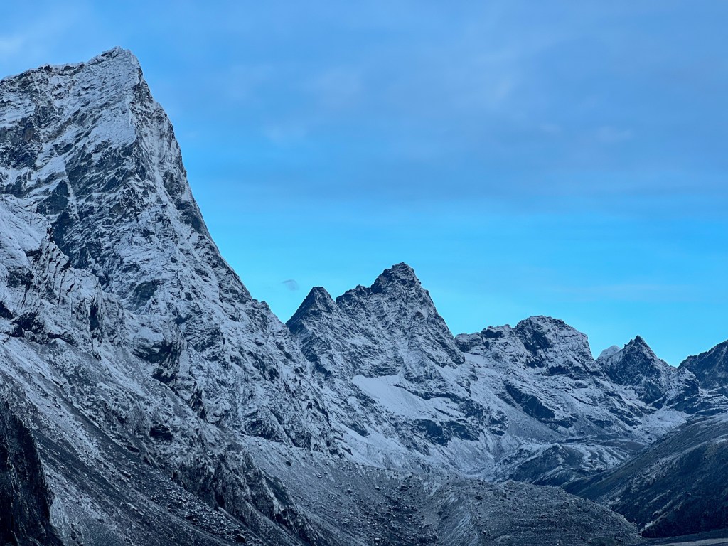
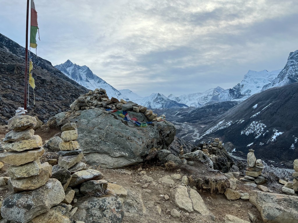
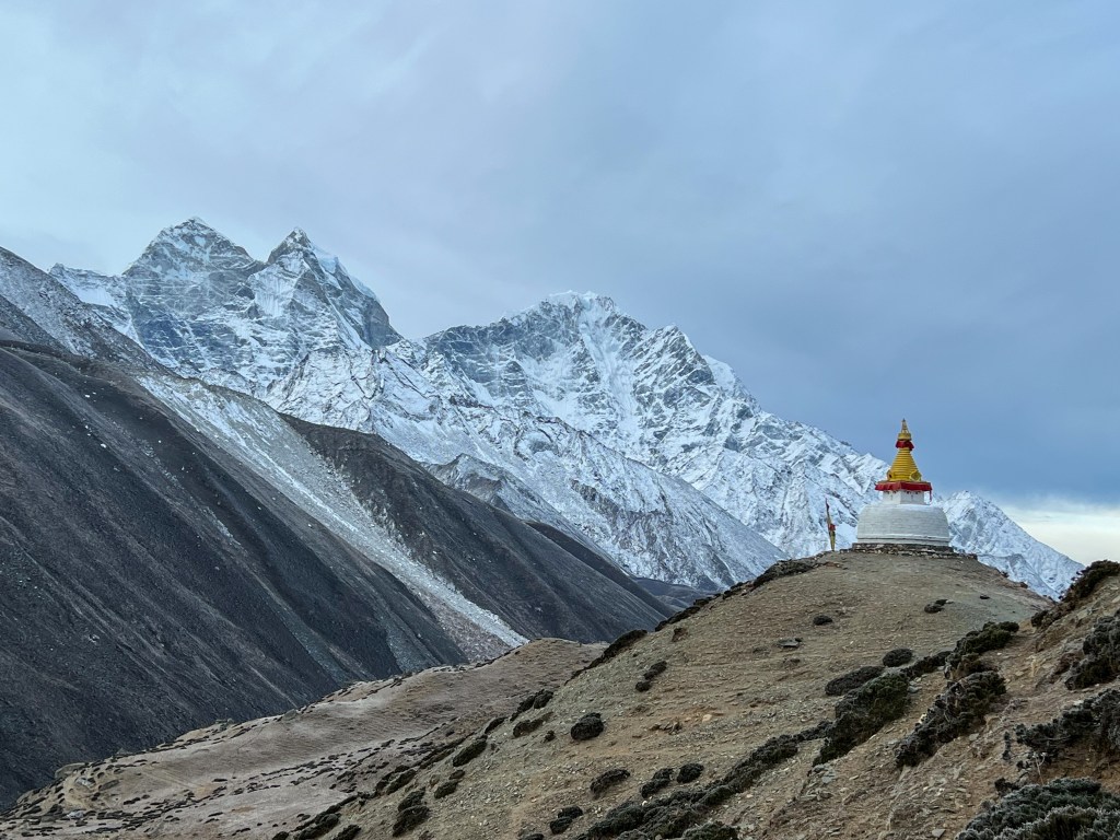
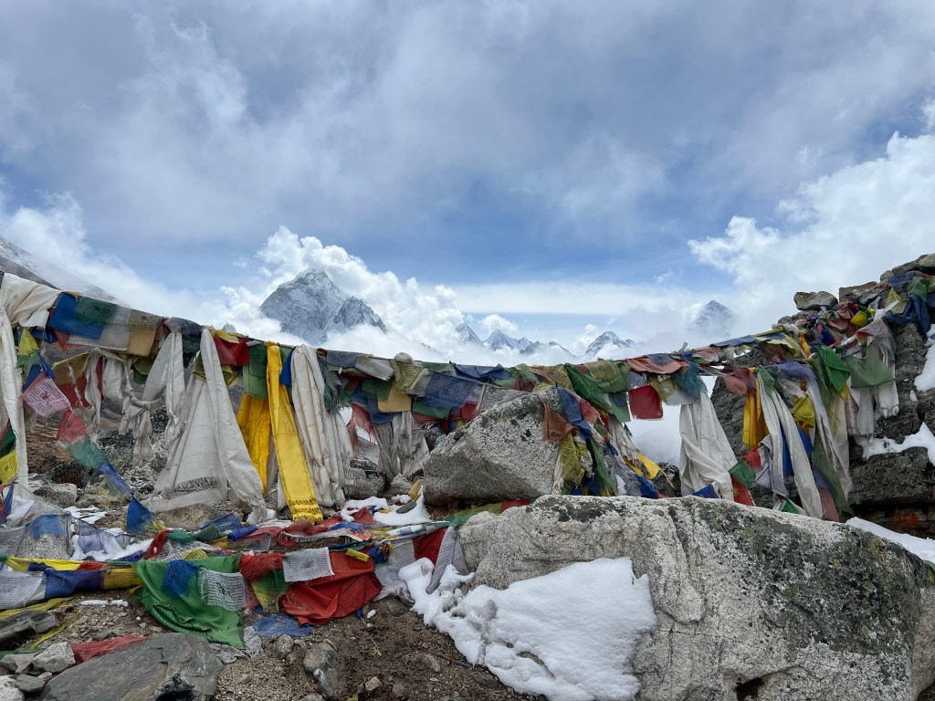
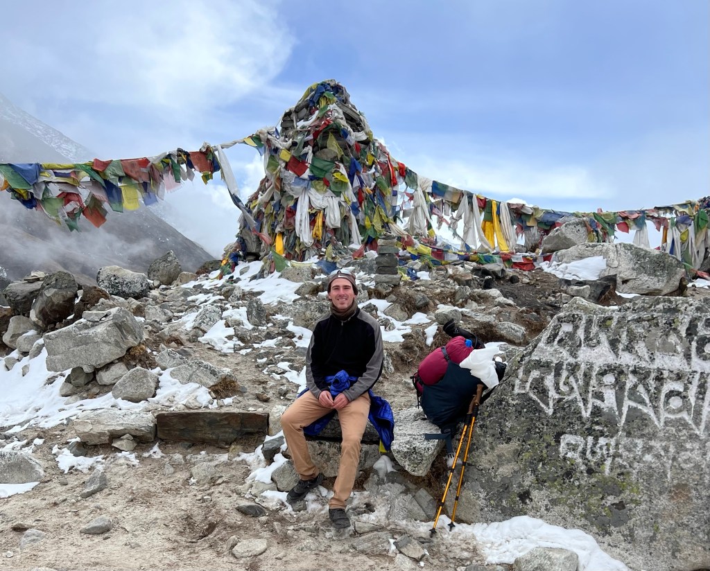
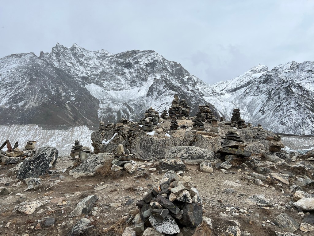
After a hearty breakfast and a short rest, we headed off on the arduous 5-hour trek to Lobuche. The crux of the journey is the 1-mile 500 meter climb that takes trekkers to the Thukpa Memorial park, which commemorates hikers who lost their lives in the region, surrounded by incredible mountain view’s.
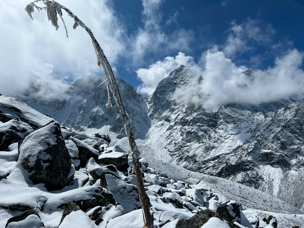
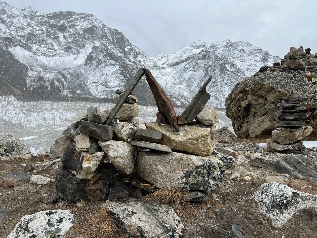
Arriving in Lobuche in the late afternoon, we recovered a bit from our trek and took a short hike to see the Khumbu glacier, which has unfortunately receded significantly in recent years due to climate. change.
Finally, we headed back to the teahouse to rest up for the next day, when we would reach Everest and begin our journey through the peaks and passes we worked towards the past 7 days.
Tomorrow: Everest Base Camp!

Such beauty!! You’re meeting so many people from all over the world – what an adventure!!! Over time, it will be interesting to see how this experience will impact your life.
Love you, Barbara
LikeLiked by 1 person