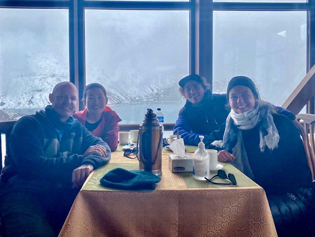
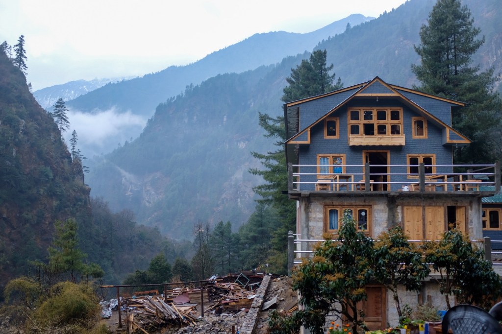
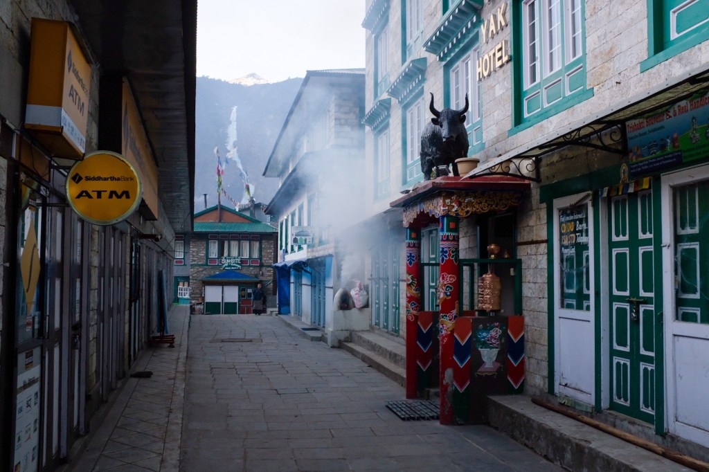
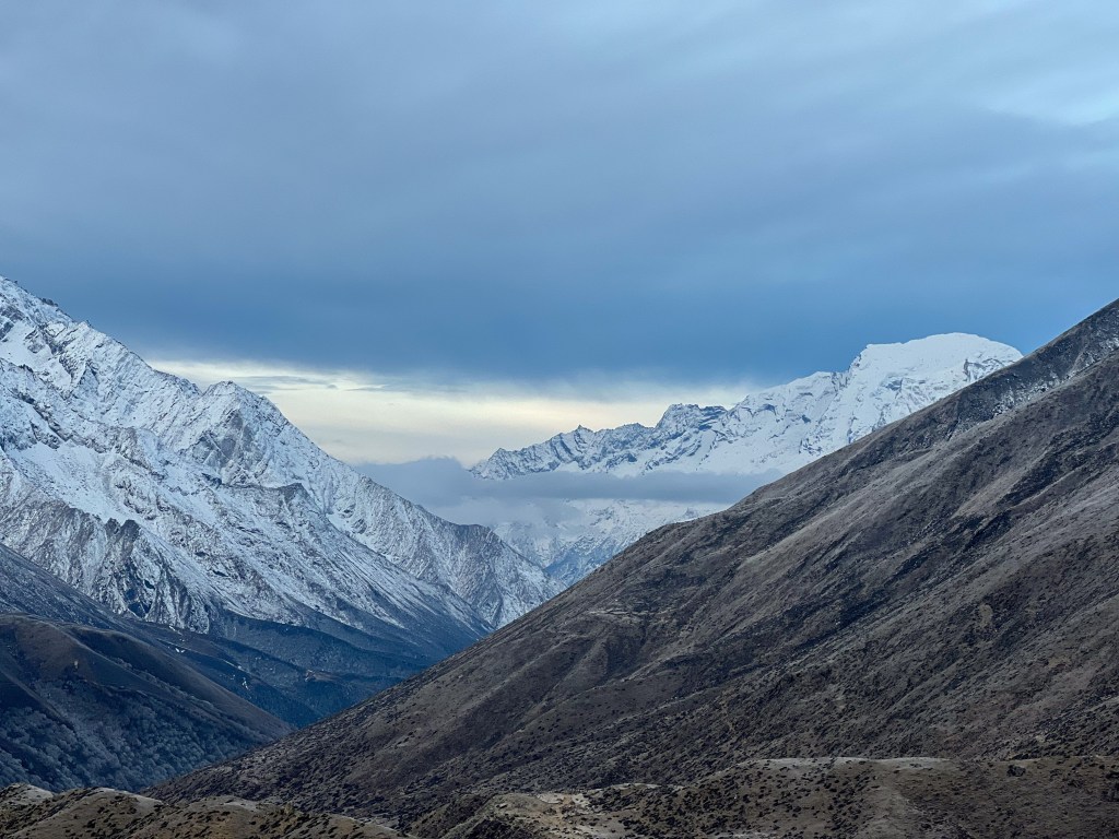
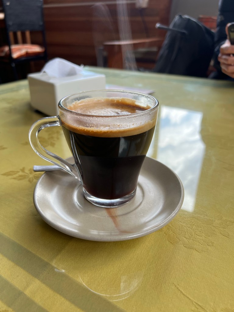
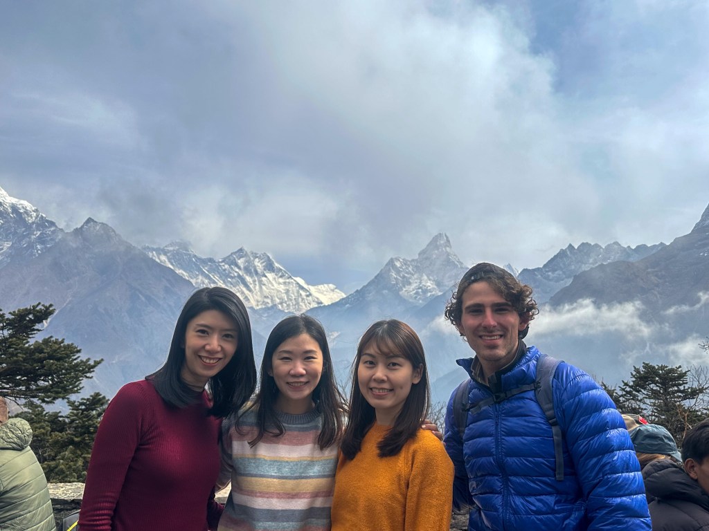
After 18 hours of travel time (with a 12-hour layover in Bangkok), I was eager to settle in to my hostel and stretch my legs in Ho Chi Minh.
Formally (and still commonly known as) Saigon, Ho Chi Minh is the largest city in Vietnam, surrounding the Saigon River. Saigon was the capital of French Indochina from 1887 to 1902, and again from 1945 until its cessation in 1954. Following the partition, it became the capital of South Vietnam until the fall of Saigon in 1975, when the city was renamed Ho Chi Minh by the North Vietnamese. The city is well-known to many Americans for the 1968 Tet Offensive, when the People’s Army of Vietnam attempted to capture the city from the South Vietnamese Army and the United States Armed Forces.
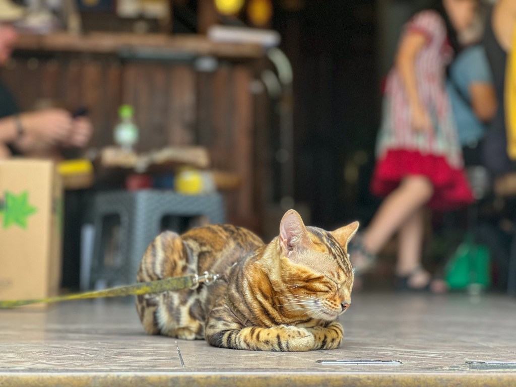
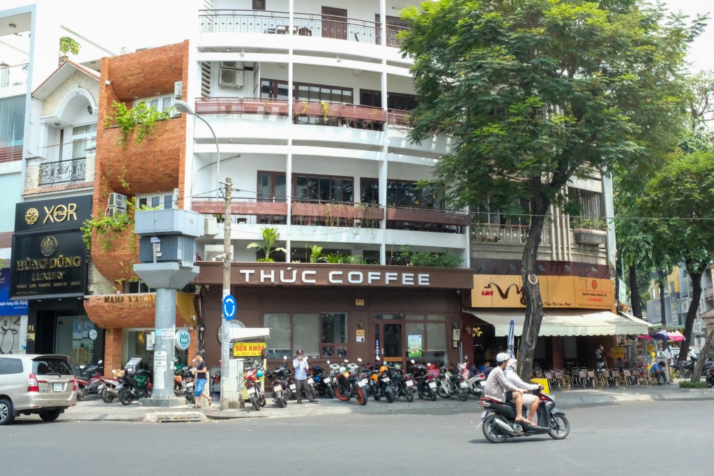
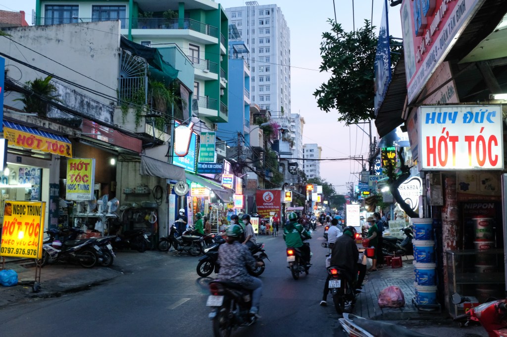
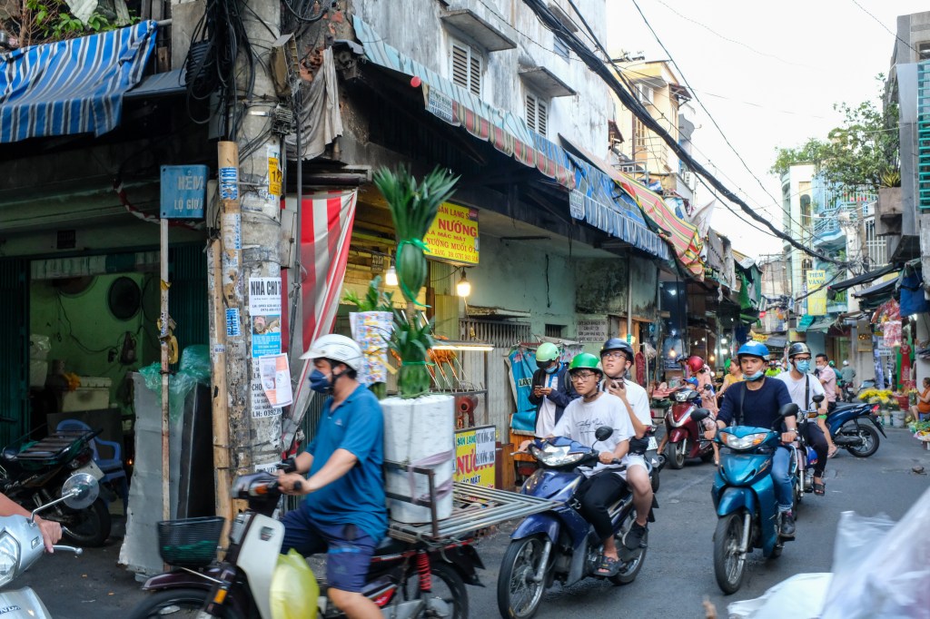
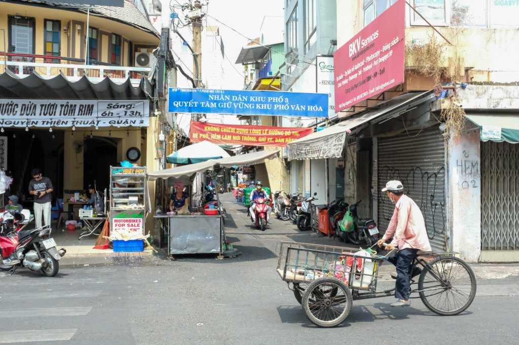
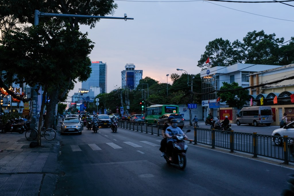
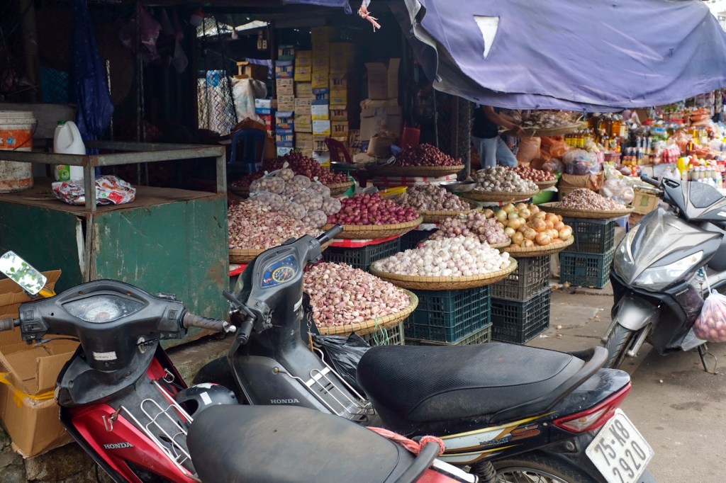
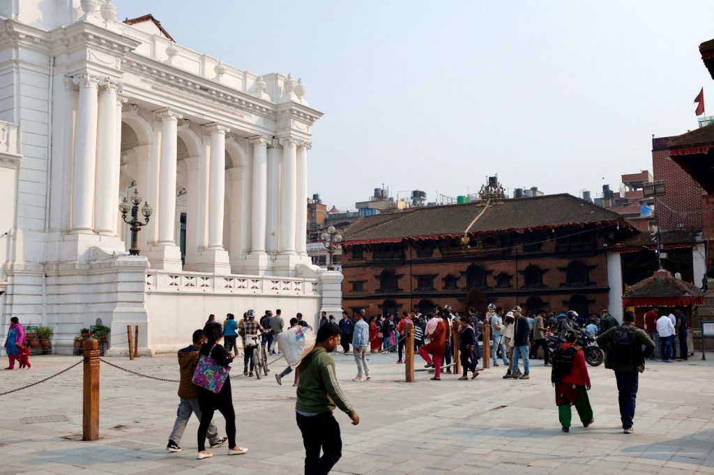
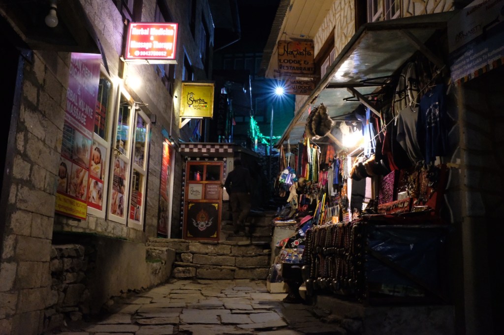
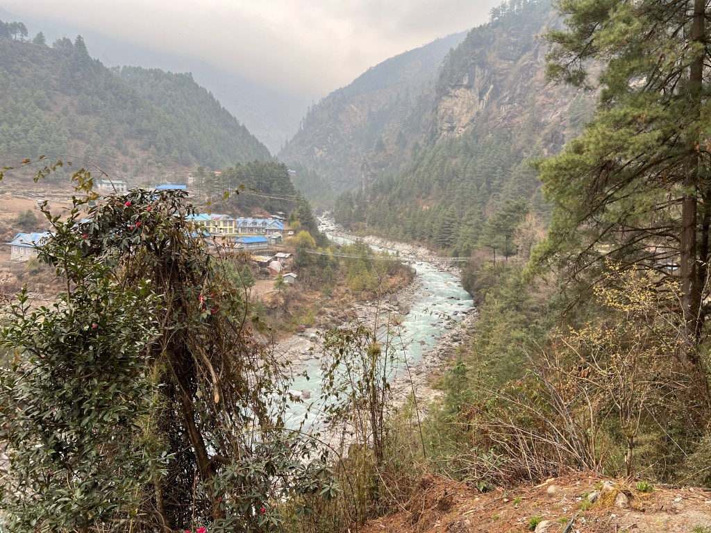
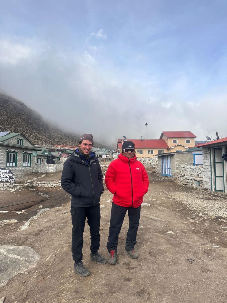
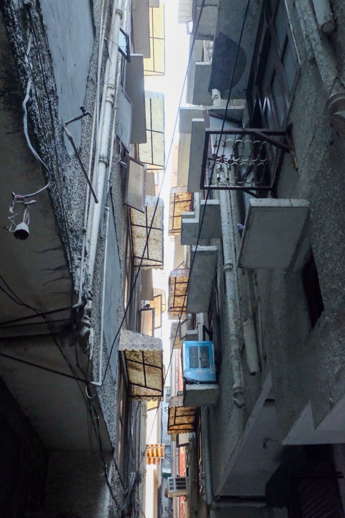
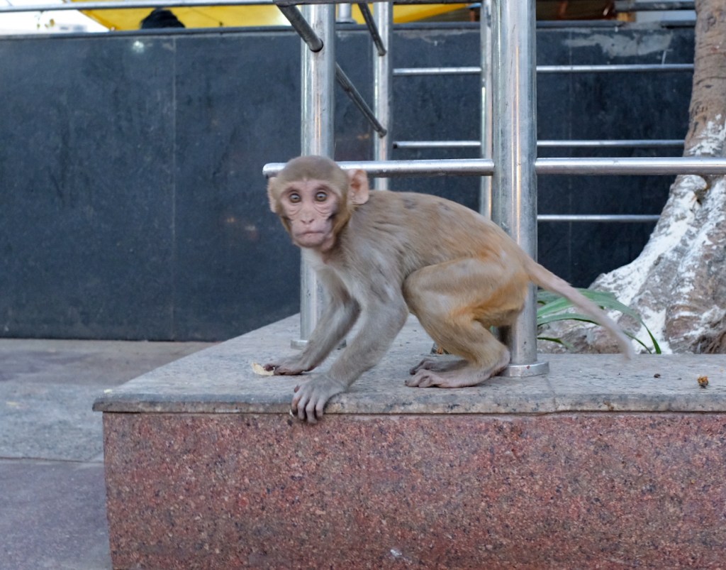
Coming from India and Nepal, I entered Ho Chi Minh sufficiently adjusted to the culture shock that is typically associated with the chaos of Asian cities – crowded streets overflowing with food stalls, motorbikes, and pedestrians. I spent the first day navigating this world, which was admittedly a stark change from the desolate (and cold) Himalayan environment.
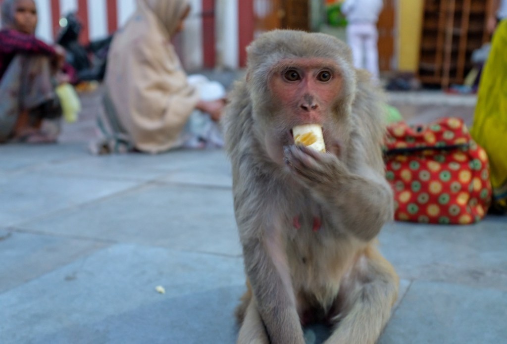
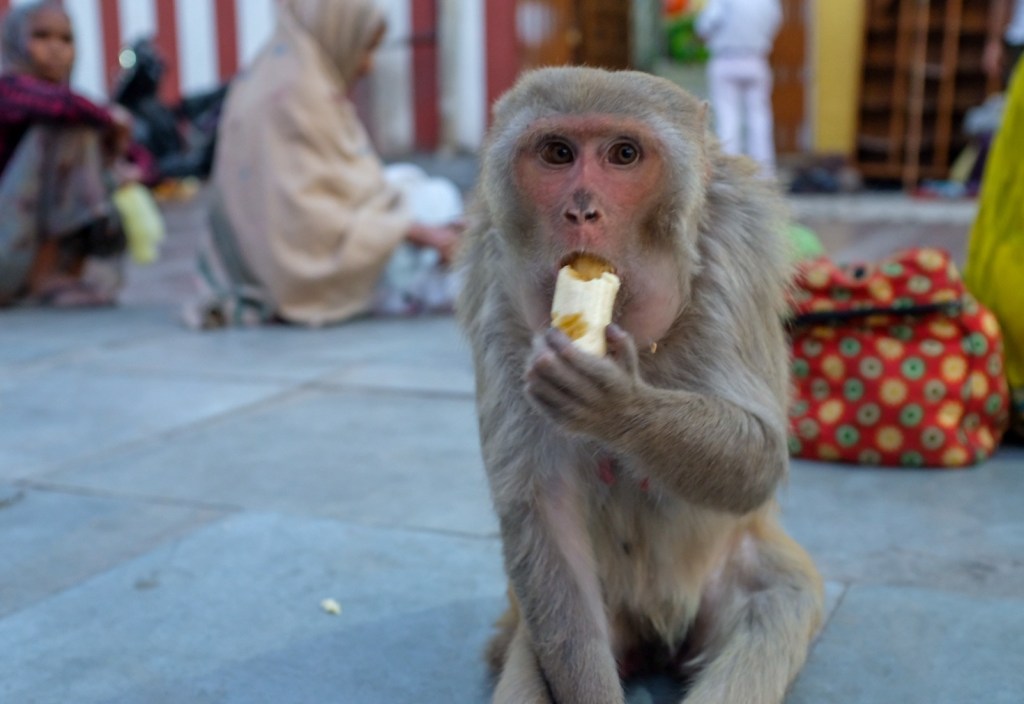
Apparently, this is how you cross the street in Ho Chi Minh…
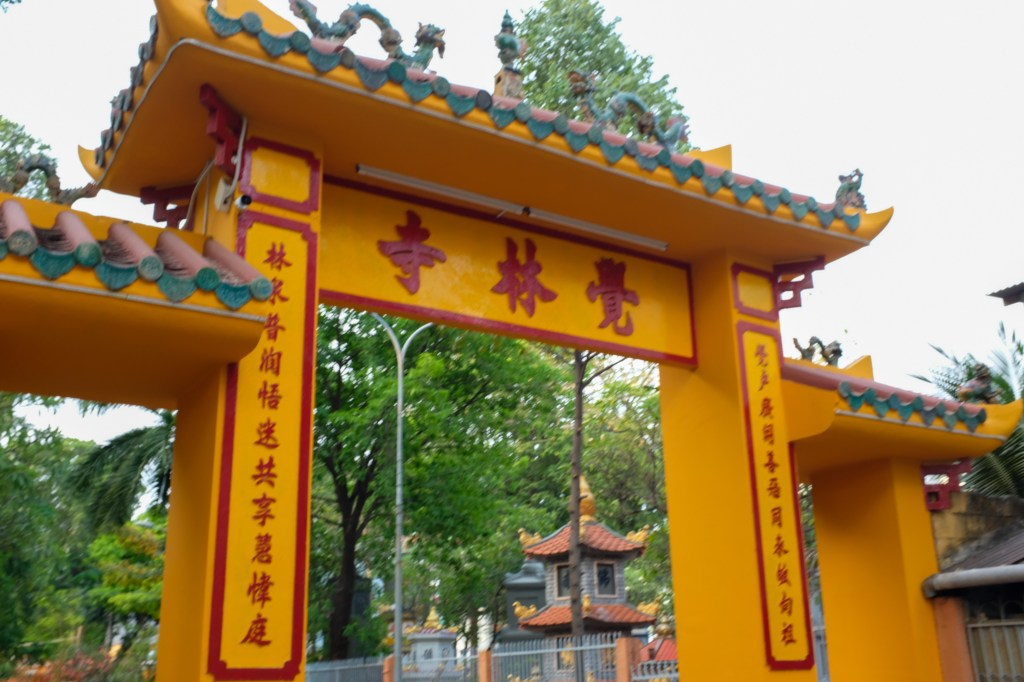
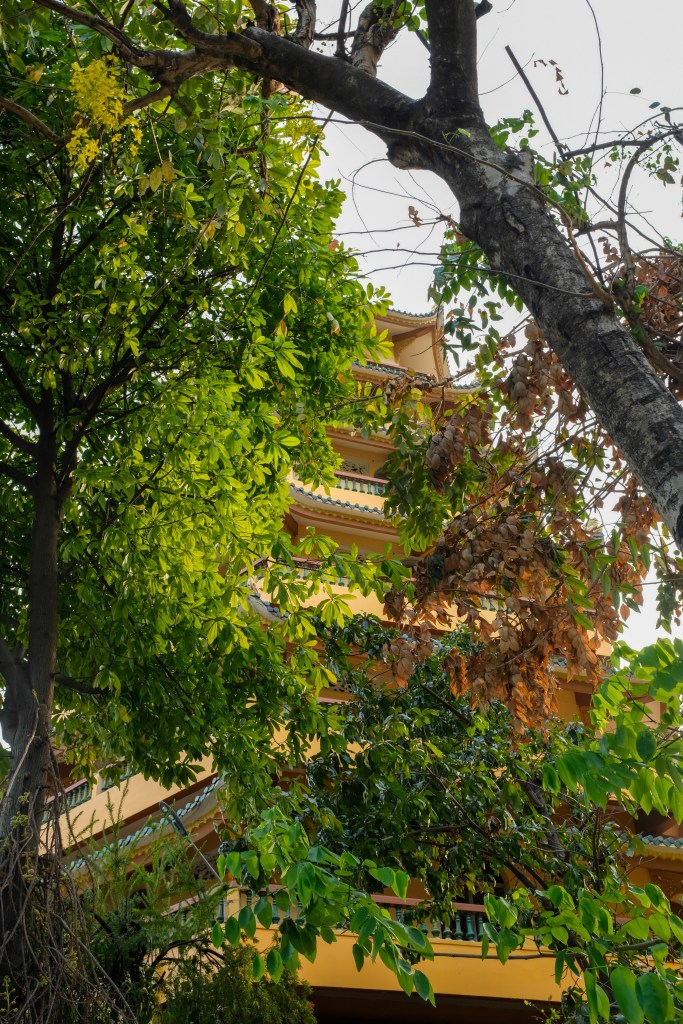
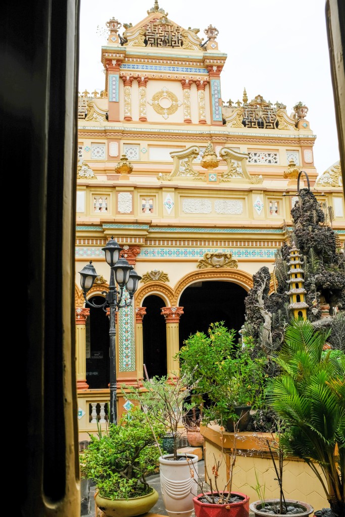
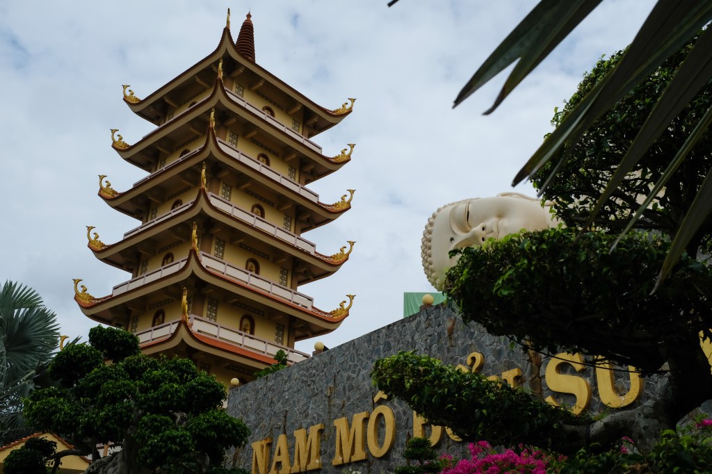
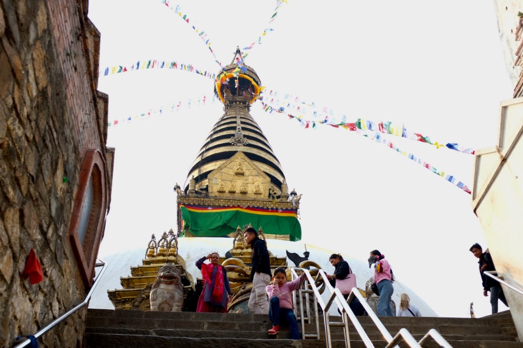
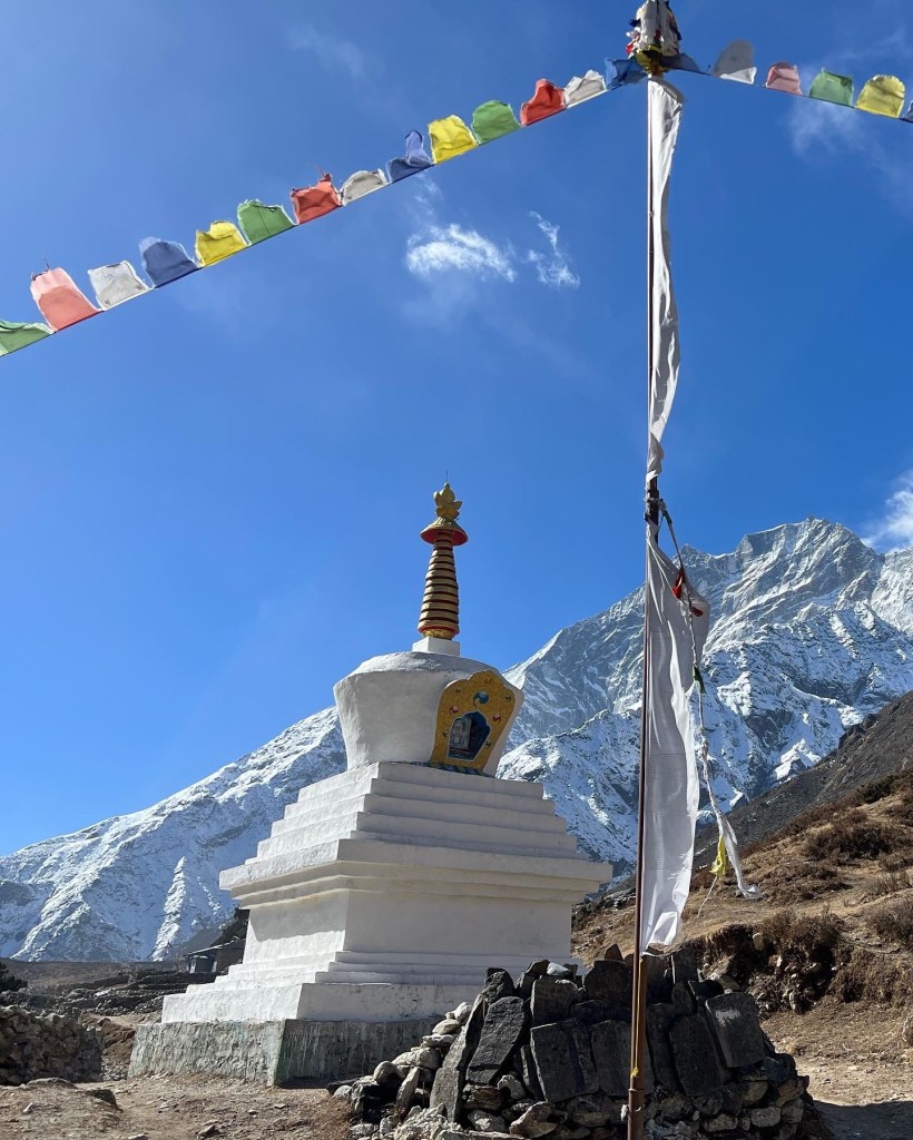
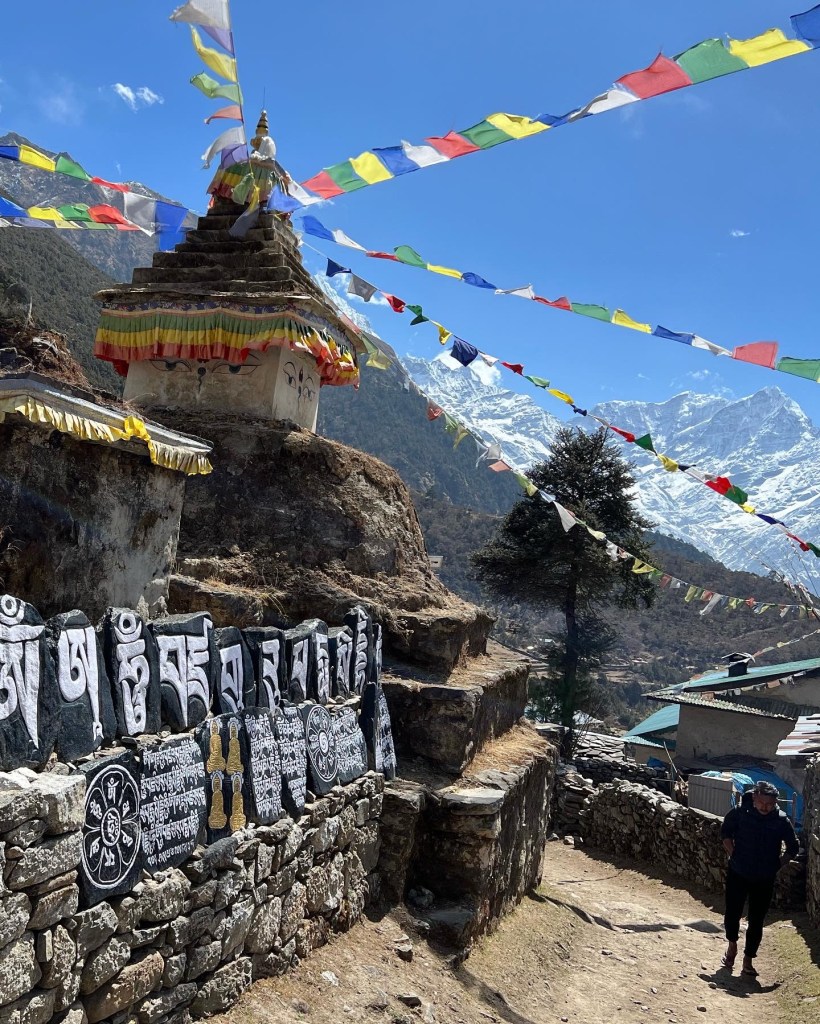
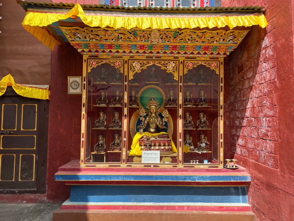
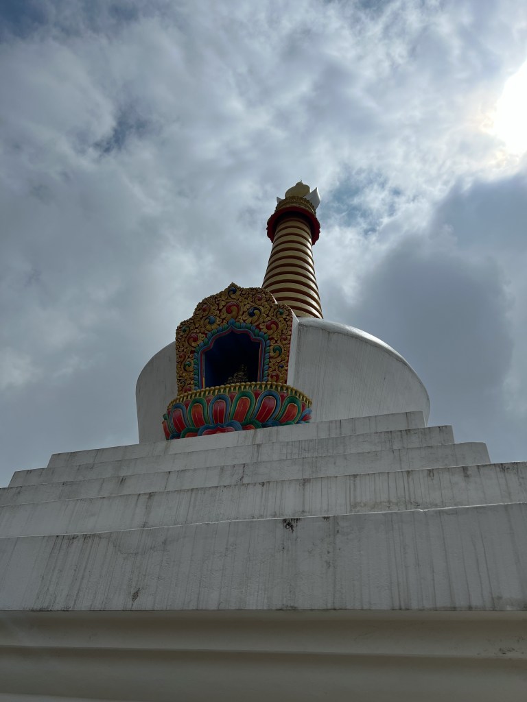
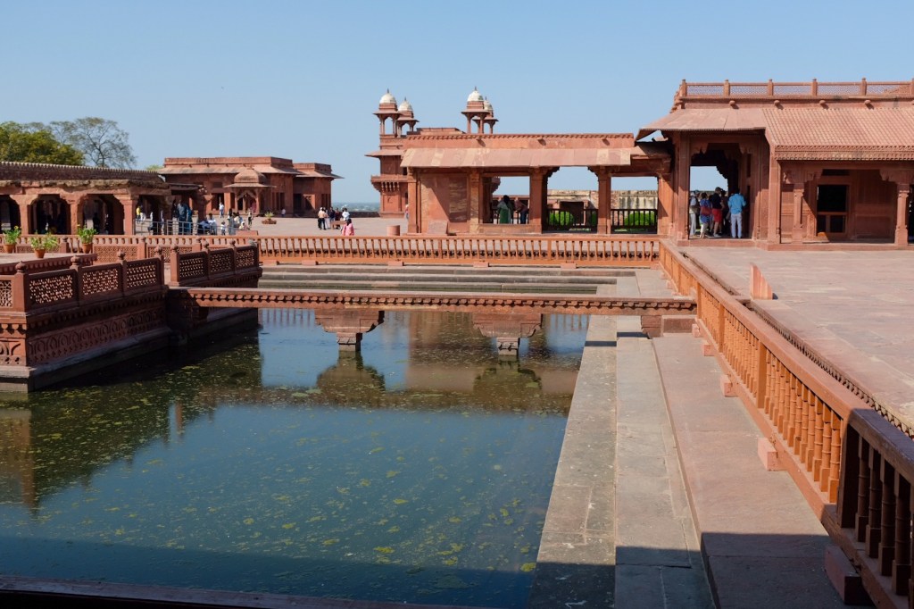
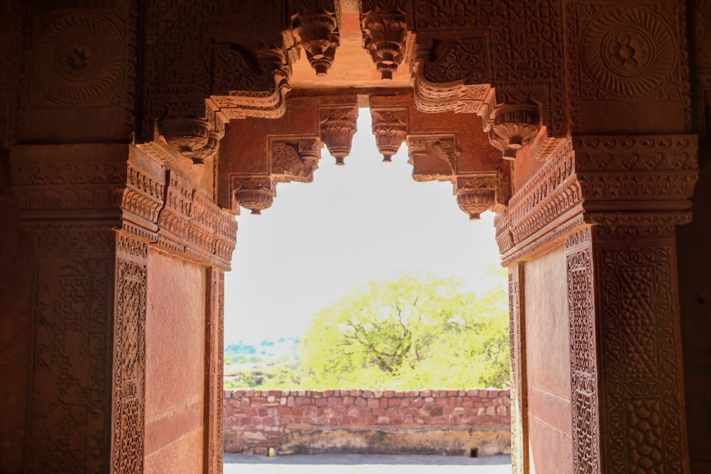
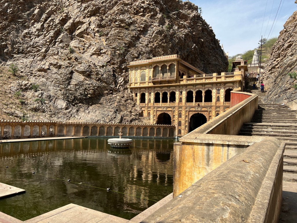
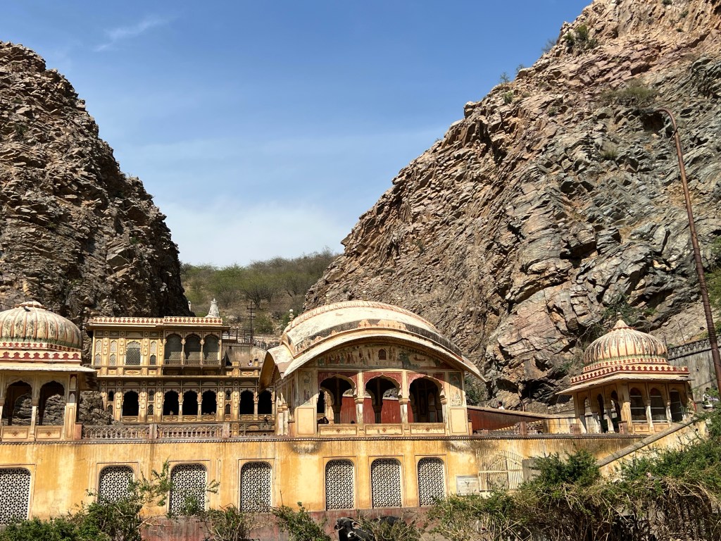
In the afternoon, I visited the Giac Lam Pagoda, a historic Buddhist temple in the center of the city. The Pagoda was built in 1744 and is surrounded by flower gardens and tombs of members of the temple. It was quite interesting to see how Vietnamese Buddhism differed from the Buddhism I experienced in Nepal and India – not just in terms of Mahayana vs. Theravada Buddhism, but also in the way the religions are expressed: in architecture, dress, shrines, and general feel.
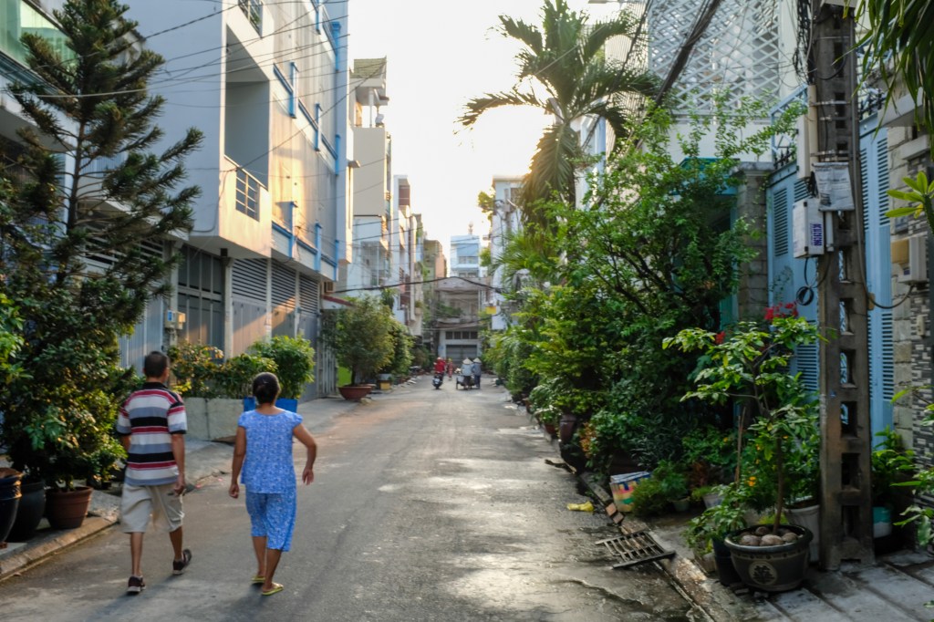
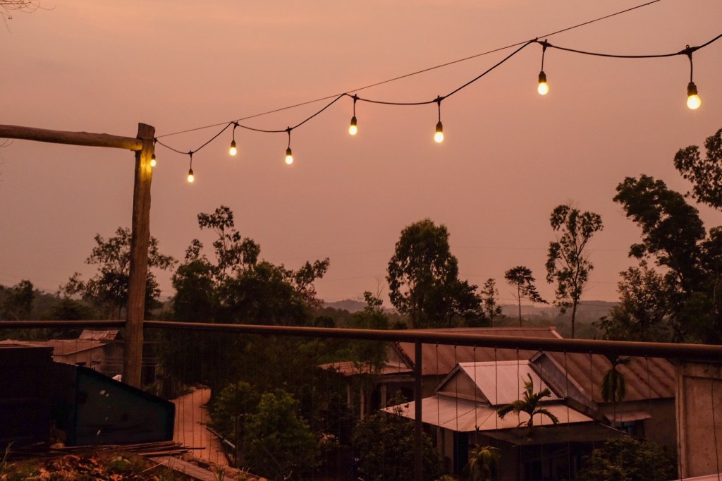
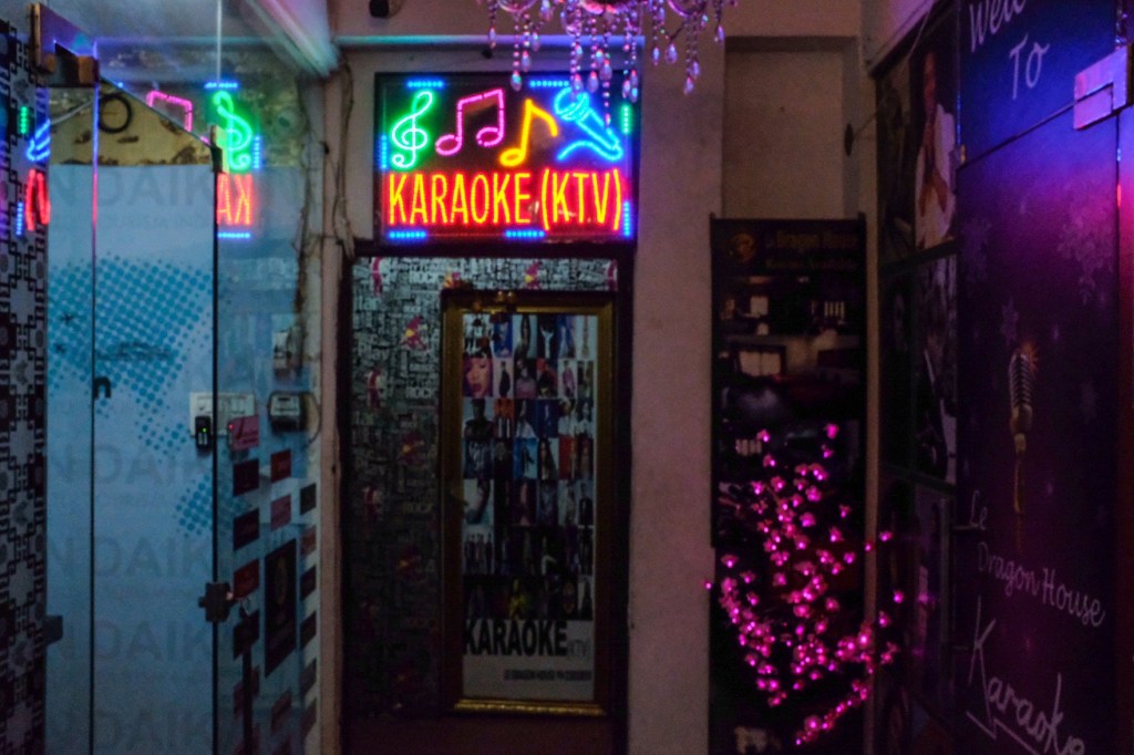
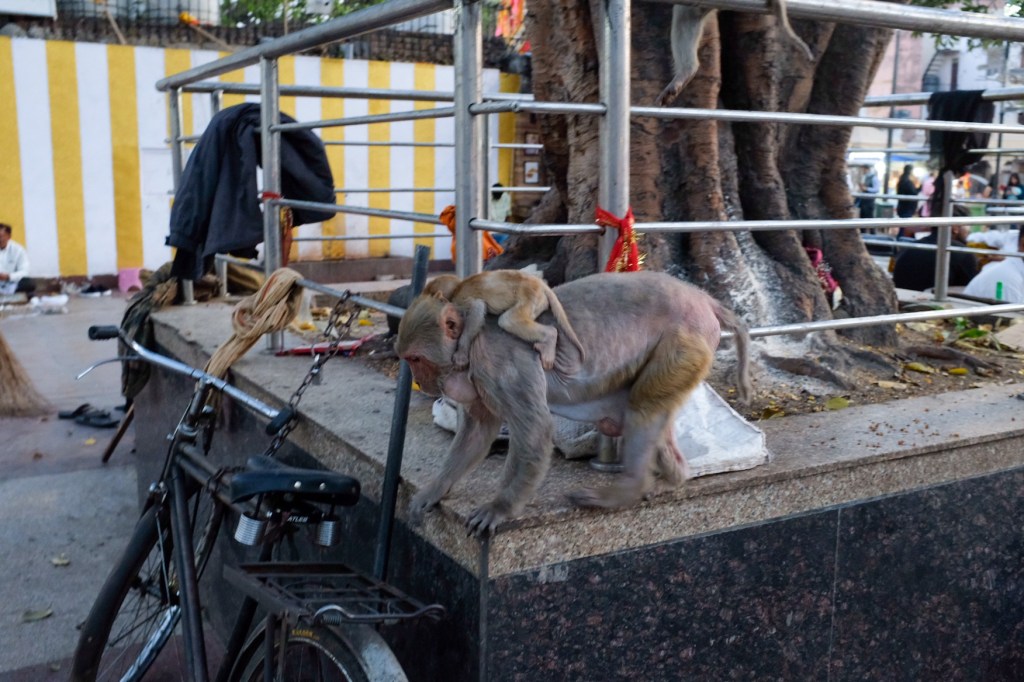
Heading back to my hostel, I saw the city transform as it approached dark – bars spilling out into the streets, karaoke on every block, and women on bikes wandering the alleys selling dried fish and squid.
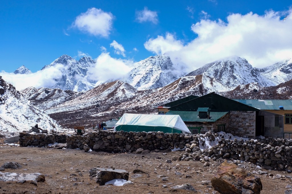
Cu Chi Tunnels & The War Remnants Museum
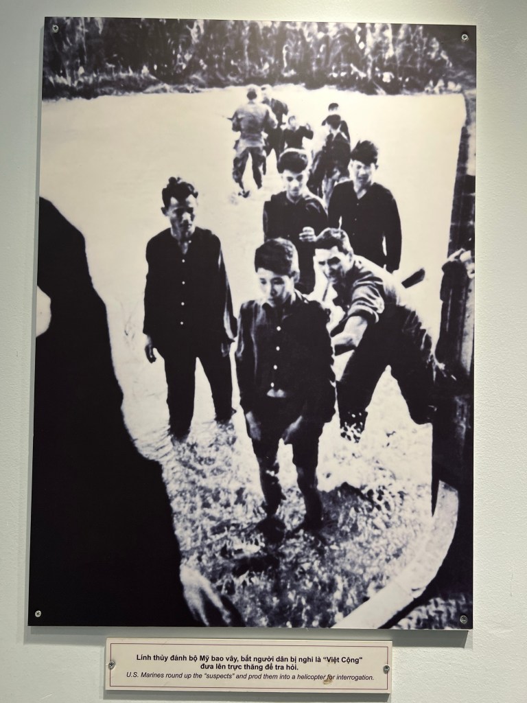
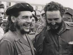
When I first planned to come to Vietnam, I knew it would be very important for me to actively engage with and better understand Vietnam War, but I was unprepared for how immensely complicate the conflict truly was – and truly how horrific some of the US Armed Force’s actions were. While there is a lot I want to discuss, I will save my engagement with the remnants of the Vietnam War for the next post after I wrap up my time in Vietnam and get more of a perspective from the North. For now, I will just briefly mention 2 of the main sites I experienced in South Vietnam: The Cu Chi Tunnels & the War Remnants Museum (previously known as the “Museum of Chinese and American War Crimes”.
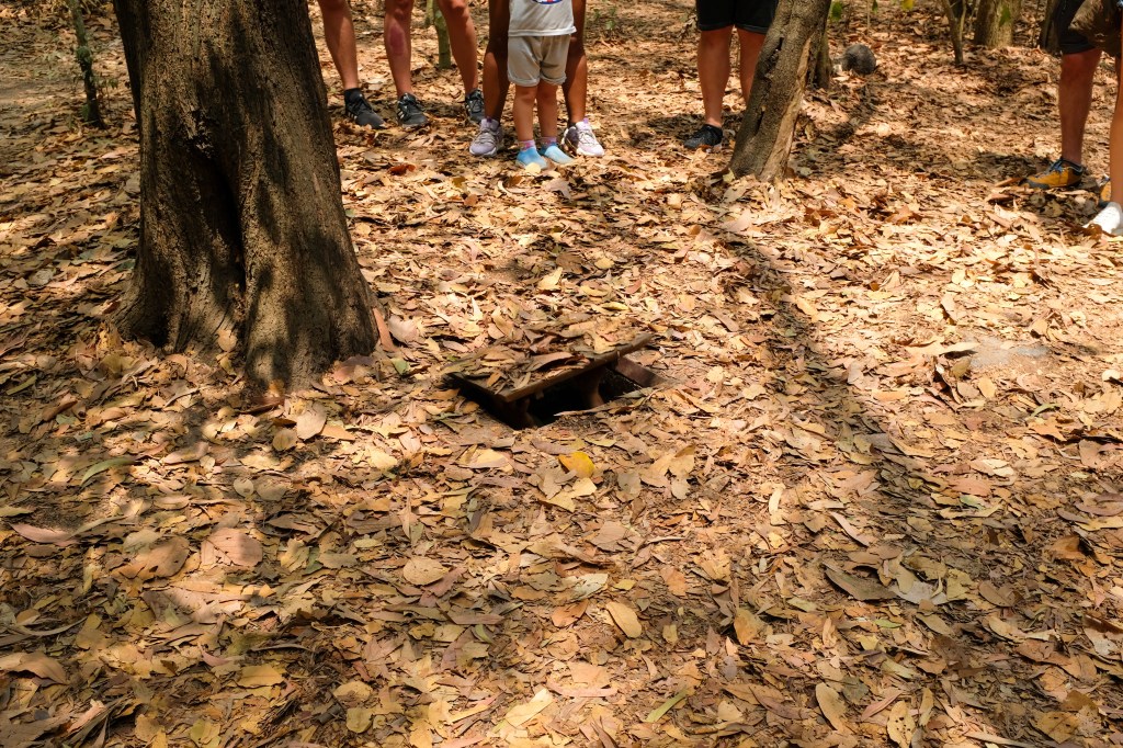
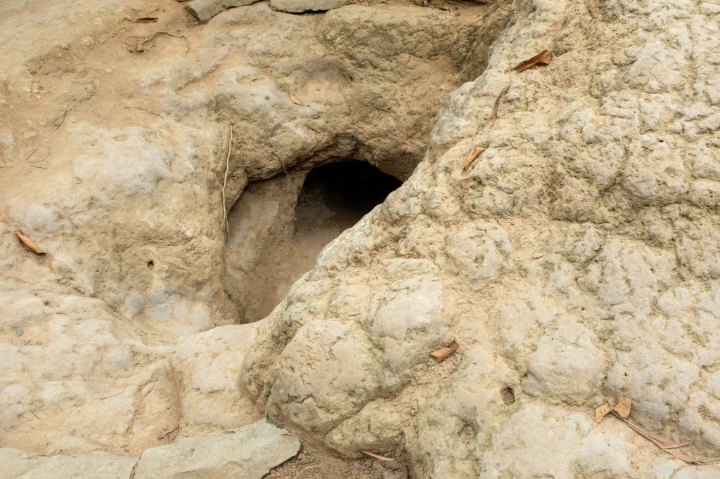
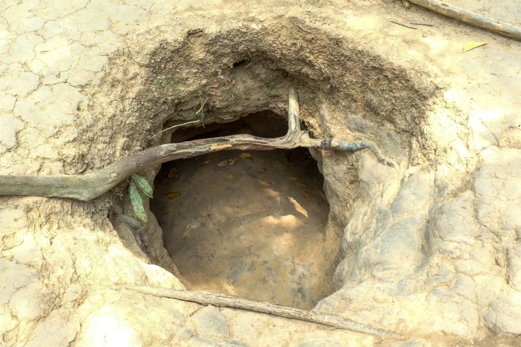
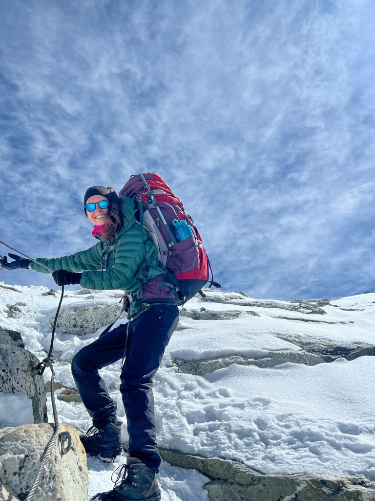
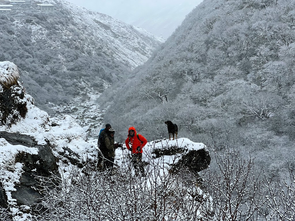
The next day, I took a tour to the Cu Chi Tunnels, which are a network of connecting tunnels underlying the Cu Chi District of Ho Chi Minh. They were the location of several military campaigns during the Vietnam war, and were the Viet Cong’s base of operations for the 1968 Tet Offensive. The tunnels were used by soldiers as hiding spots during combat, and served as supply/communication routes, hospitals, food and weapon caches, and living quarters. The tunnels were key to the Viet Cong’s resistance of American force presence in the region.
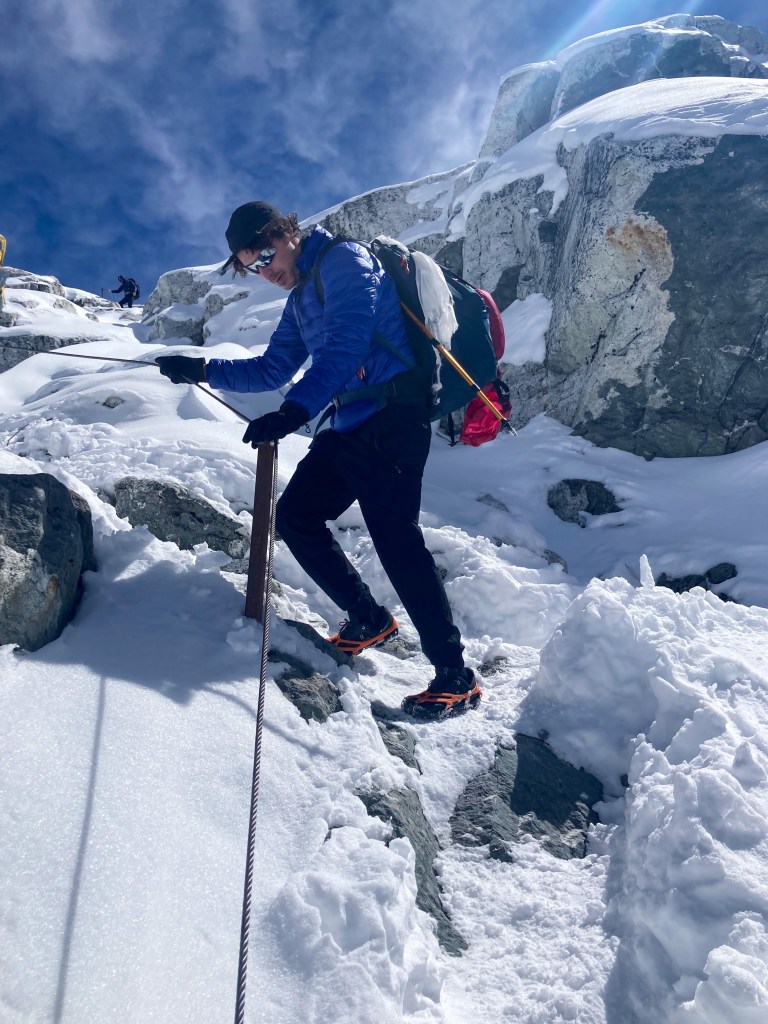
Demonstration of the tunnels-
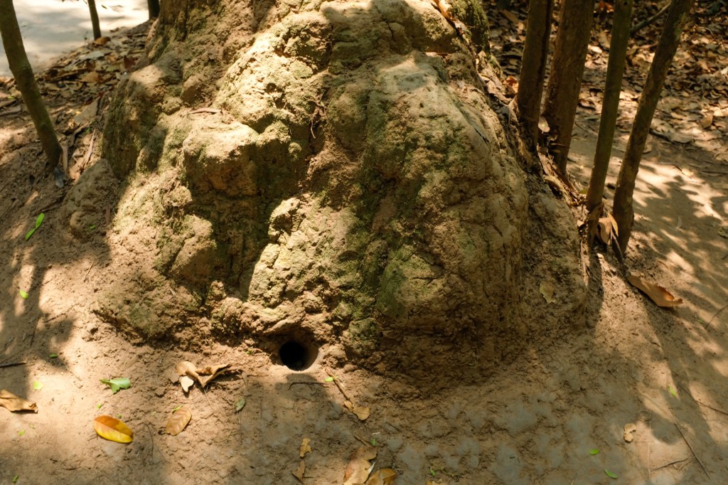
Pictures from the tunnels-
As an American, it was quite eye-opening to see the other side of the conflict, and the way in which the North Vietnamese took advantage of their knowledge of the environment to repel US troop presence. It reminded me of a training course we had to do in Marine Office Candidate School, where we had to make our way through tight tunnels and muddy rivers – an attempt to prepare soldiers for combat in Jungle environments similar to that in Vietnam.
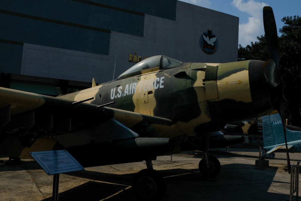
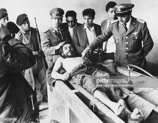
Later in the day, I went to the War Remnants Museum. As I mentioned before, I am going to save a majority of my thoughts for the next post, but I’ll say that this was a quite powerful and eye opening experience. With such a heavy, I saw a lot of evidence and narratives that deeply contrasted that which I was told in school and when I initially strove to join the Marine Crops – all i will say now is how grateful I am that I chose a different path from that of the US military and found other ways to challenge myself, physically, emotionally, and intellectually.
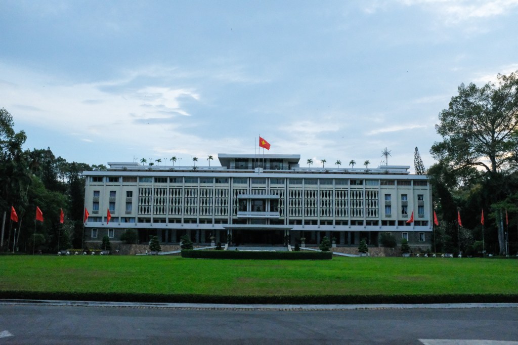
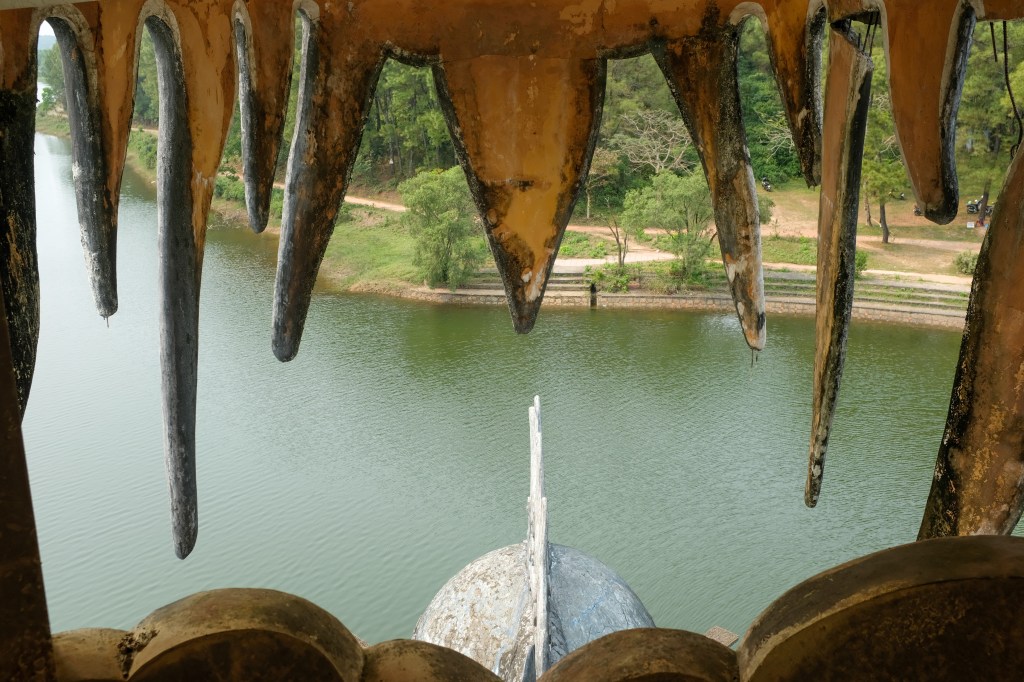
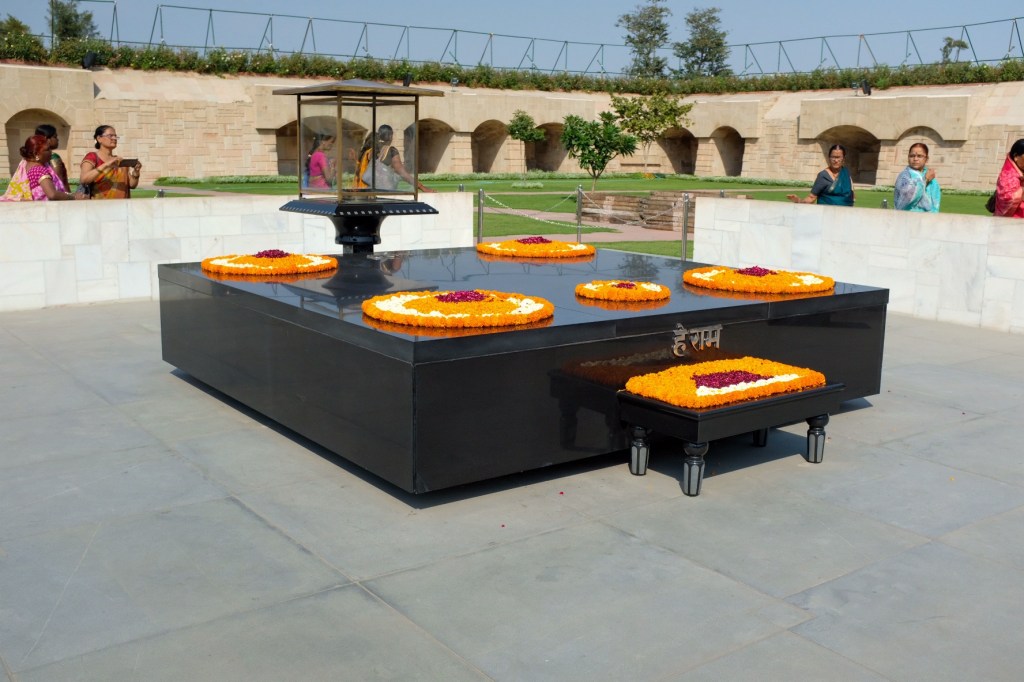
At the end of the day, I visited the Independence Palace, which was the home and workplace of the president of the Republic of Vietnam. It was the site for the Fall of Saigon in 1975 that officially ended the Vietnam War.
Mekong Delta
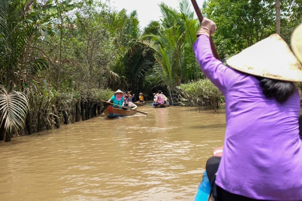
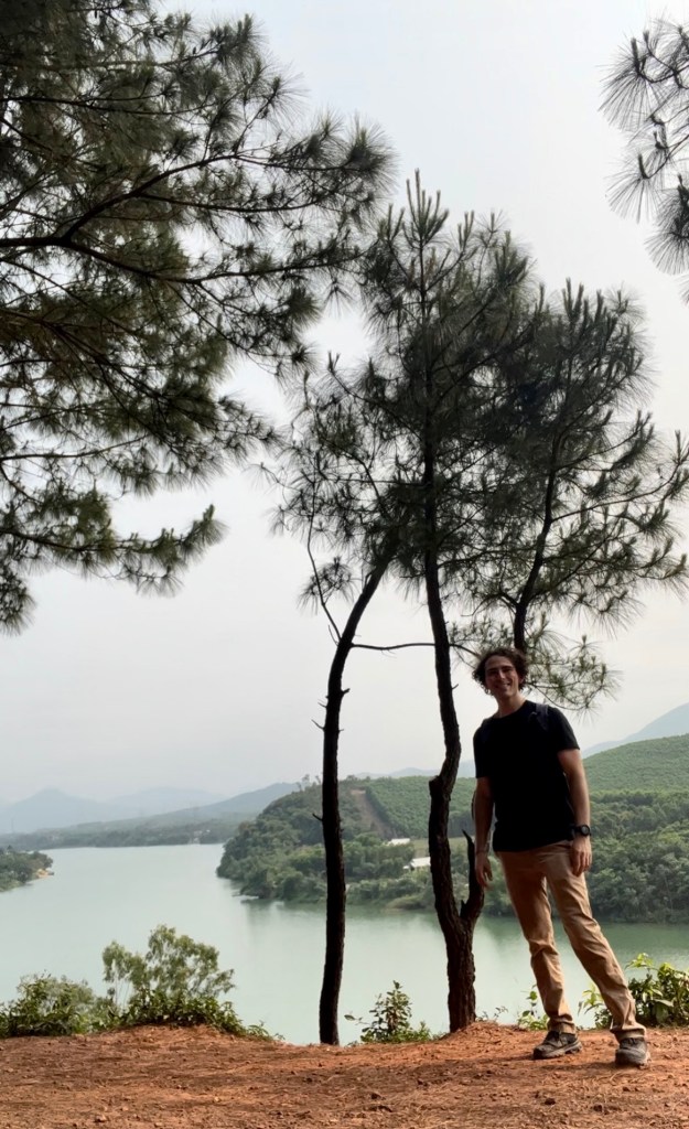
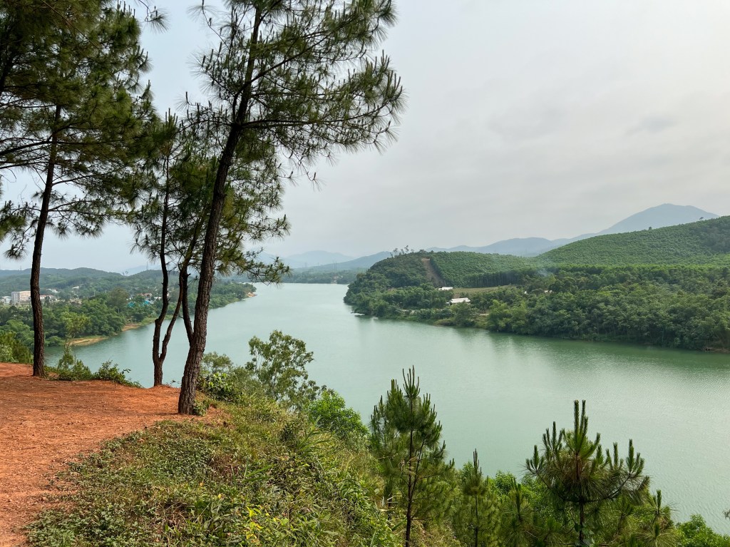
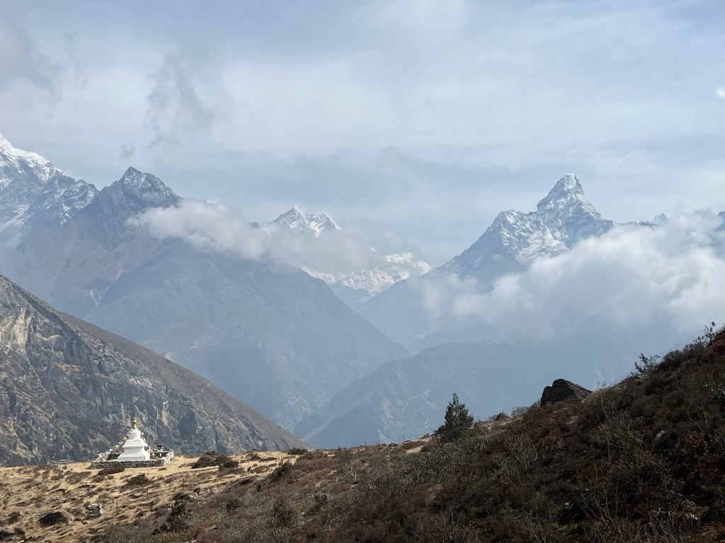
The next day, I headed a couple hours out of the city to visit a small portion of the Mekong Delta, a vast maze of rivers, swamps and islands that encompass the Eastern side of Southern Vietnam
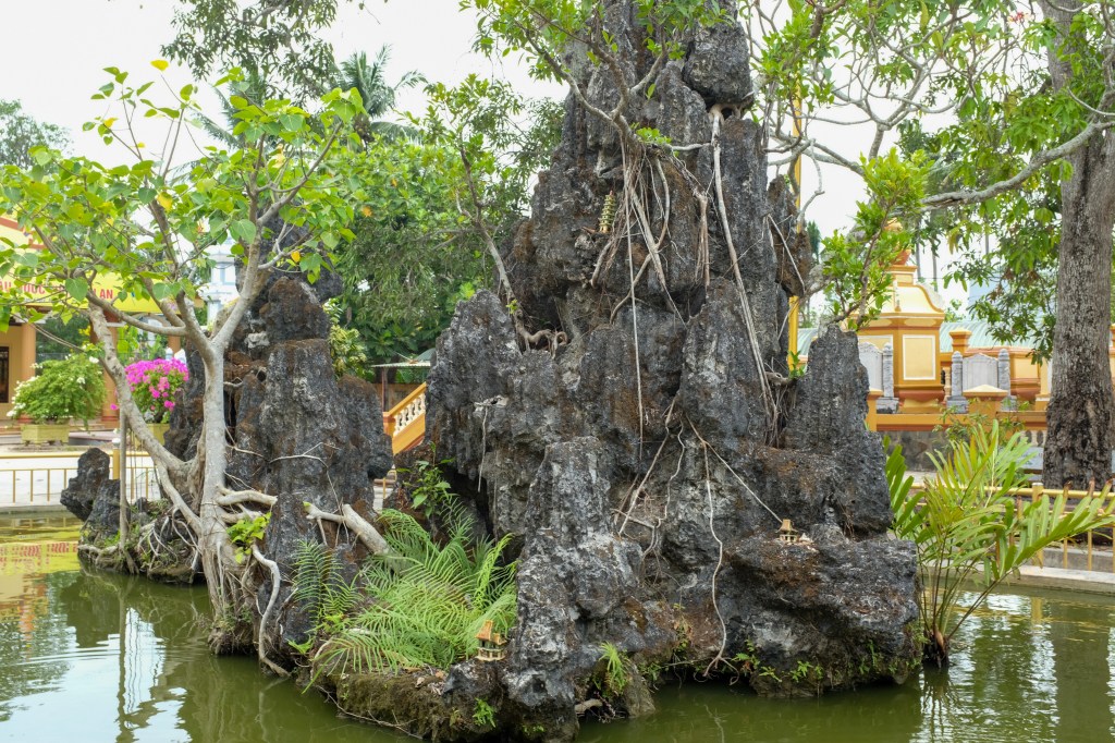
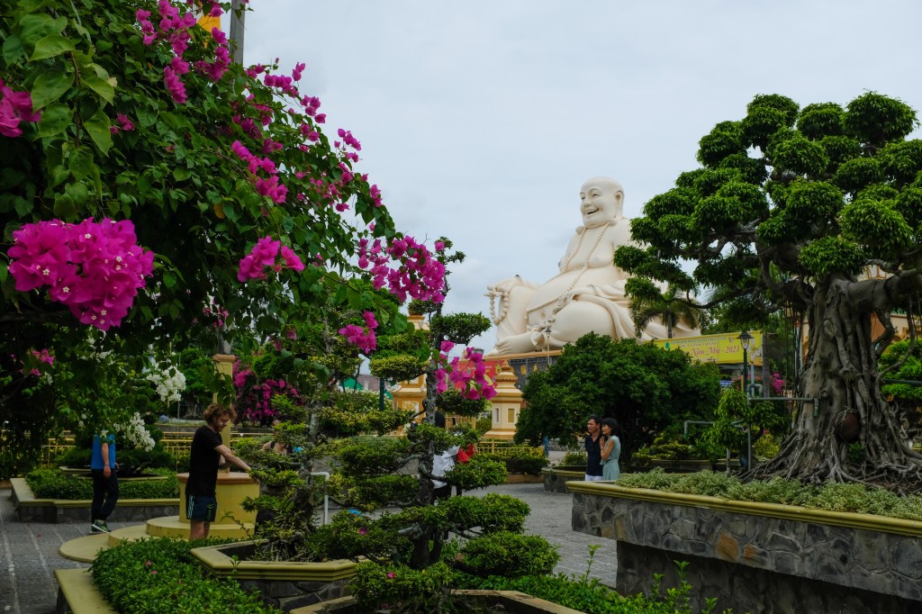
We started off visiting the Vinh Trang Pagoda, a Buddhist temple build in. the 19th century. Some history – between 1859 and 1862, French colonial forces battled the army of the Nguyen Dynasty of Emperor Tu Duc (who’s tomb I would visit later in Hue). During the fighting, Vinh Trang was seriously damaged and it wasn’t until 30 years later that the temple was restored.
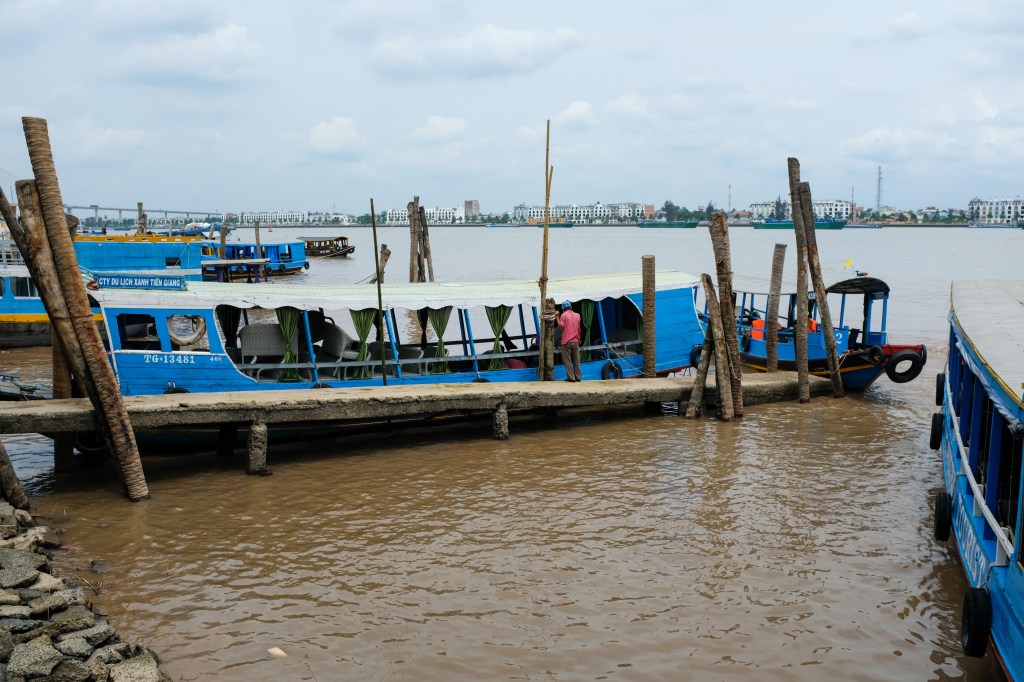
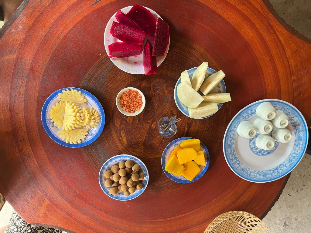
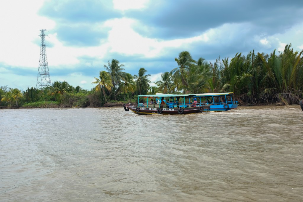
Afterwards, we headed to a couple of the Islands: My Tho and Ben Tre. We visited a bee farm and had some lunch and tea.
And caught a couple boats back to the mainland
While a pretty touristy experience, it was nice to get a taste of the region and see a bit of what life is like south of the city.
The next day, I hung out in the city as a prepped for my afternoon train – an 18 hour ride from Ho Chi Minh to Hue.
Hue & another change of plans
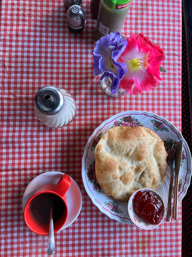
Hue was where my plans took a bit of a turn. I initially planned to spend 2 nights in the once-capital of the Nguyen Dynasty, before heading to Dong Hoi to begin a week of trekking in the Tu Lan cave system. Unfortunately, after about a day in the city, I got quite sick and needed to go to the hospital. While it was not serious, I made the difficult decision to cancel my caving plans in Dong Hoi and spend a few extra nights in Hue to rest up before heading up North. I was lucky enough to be staying at a hostel at the time that was incredibly supportive of me while I was unwell. When the hostel owner, who’s sister works at the local ER I stayed overnight in, heard that I was sick (Vietnam doesn’t have patient confidentiality laws like in the US!), she immediately went out of her way to help. She visited me at the hospital, offered to let me stay at her hostel for as long as I needed (for free), and gave me food as I recovered (Lemon tea, Bun Bo Hue & Goi Cuon Tom Thit – a beef noddle soup & spring rolls). Her generosity and kindness meant so much to me as I healed and reorganized my plans.
Views and food from her hostel-
While disappointing, this is a good situation to reemphasize the important of flexibility while traveling – you won’t be able to do everything, and that is okay! It also allotted me some time to rest and reflect on all that I have been so fortunate to be able to do over the past 3.5 months.
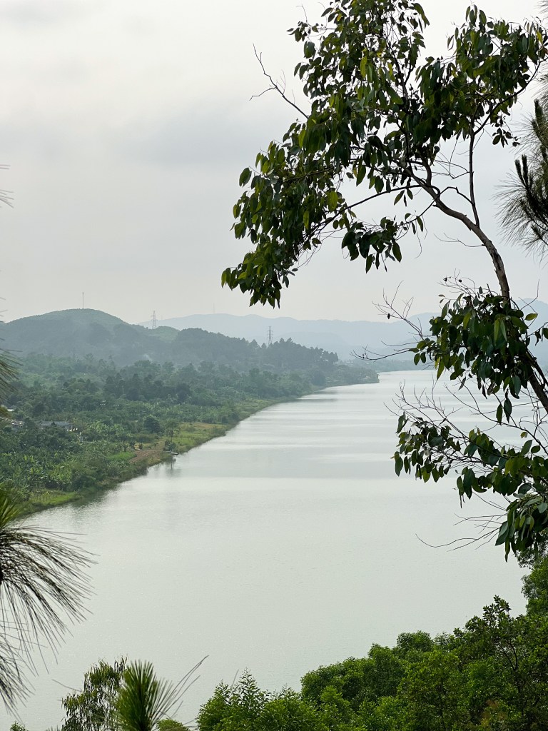
After recovering a bit more, I took some time to explore Hue. With a rented motorbike at hand, I shuffled around the city trying to take in as. much as I could before catching my night bus to Hanoi.
I first visited the Imperial City of Hue, a walled enclosure which once housed the imperial capital during the Nguyen dynasty. Constructed in 1803, the citadel was mostly ceremonial during the French colonial period. Unfortunately, after the end of the monarchy in 1945, the space suffered heavy damage during the Indochina Wars through the 1980’s, but it has seen significant restoration over the past couple decades.
I then walked down the Perfume River to the Thien Mu Pagoda. Built in 1601, the Buddhist temple continues to house monks today.
I then headed to the Dong Ba Market for lunch, a giant open air market Anthony Bourdain once visited on his traveling show escapades.
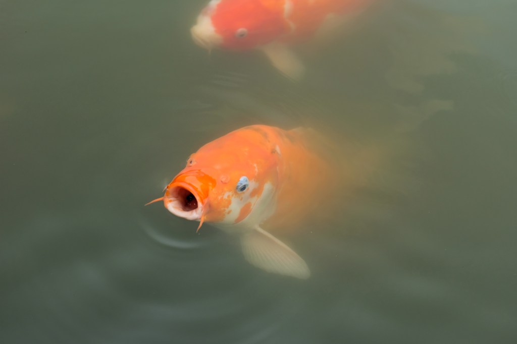
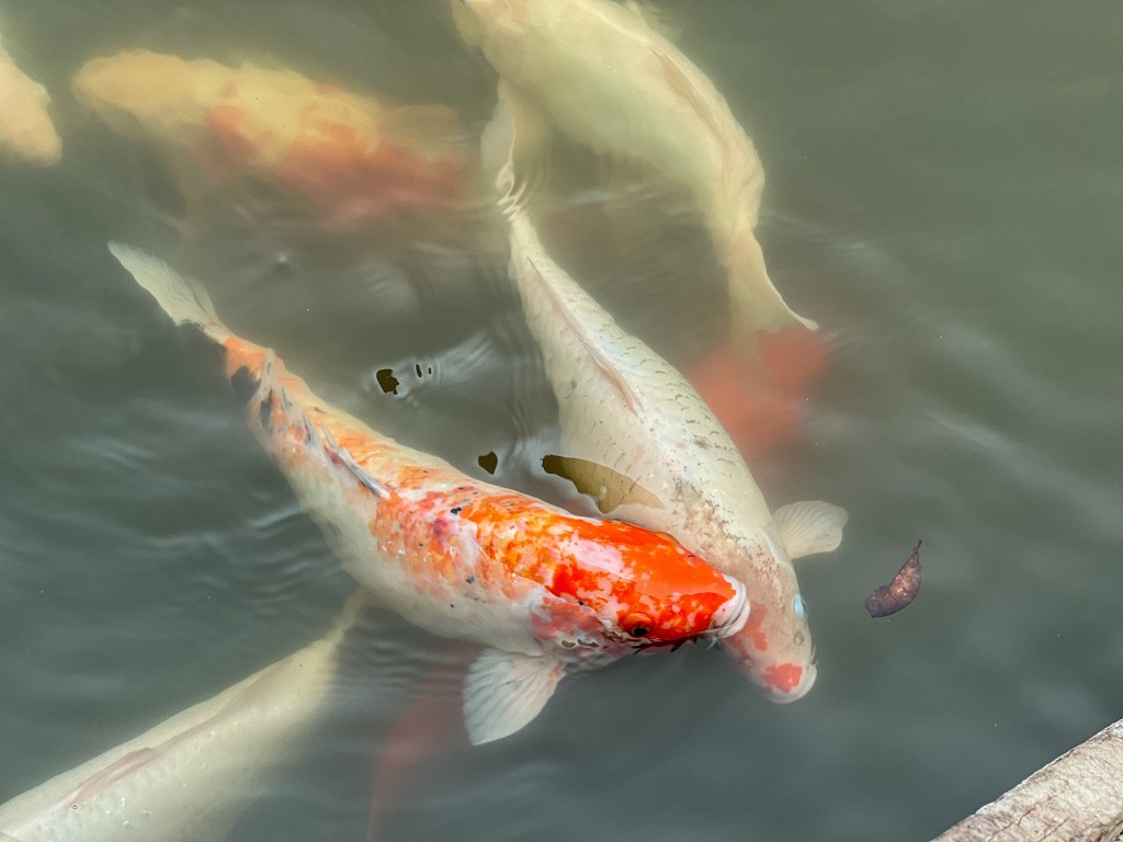
From the market I headed across the river to the Tomb of Tu Duc – who was the Emperor of the Nguyen dynasty from 1848-1883.
And visited the Koi pond!
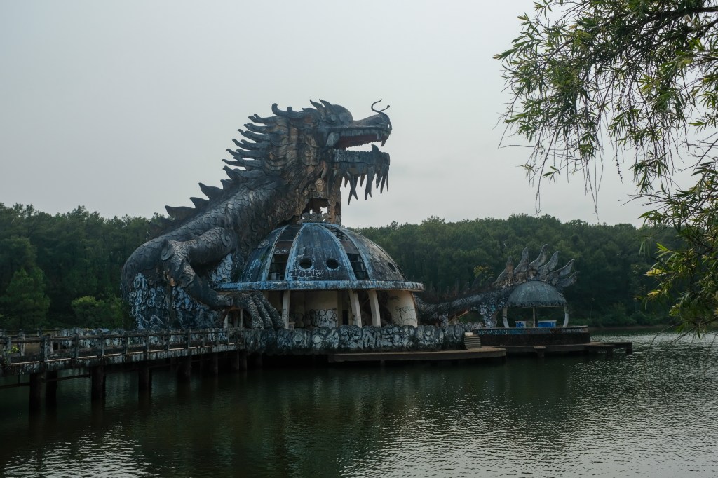
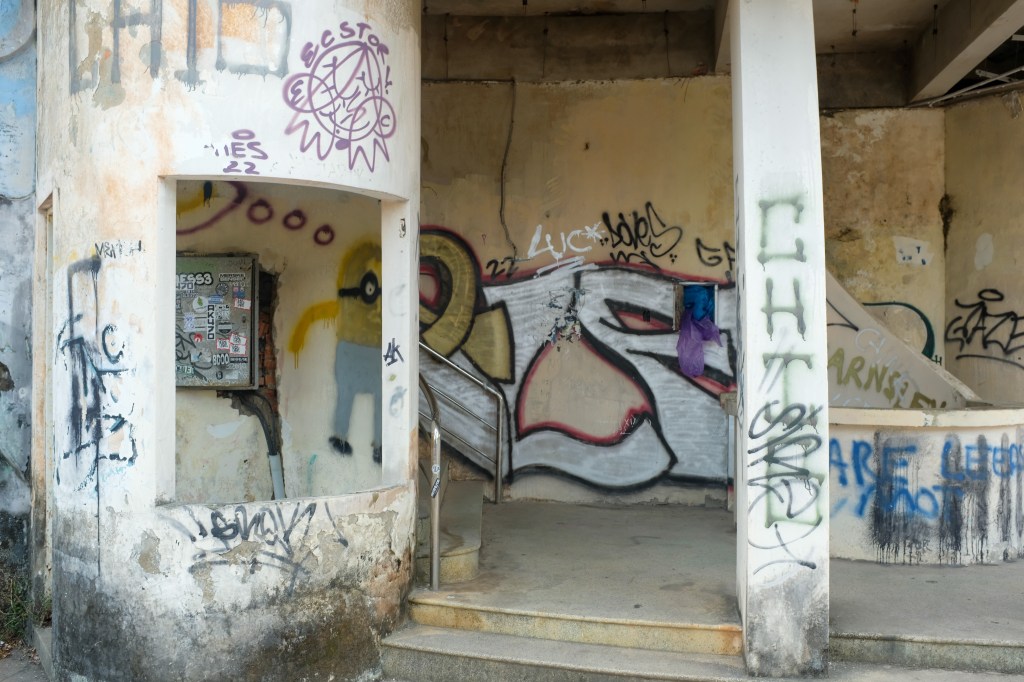
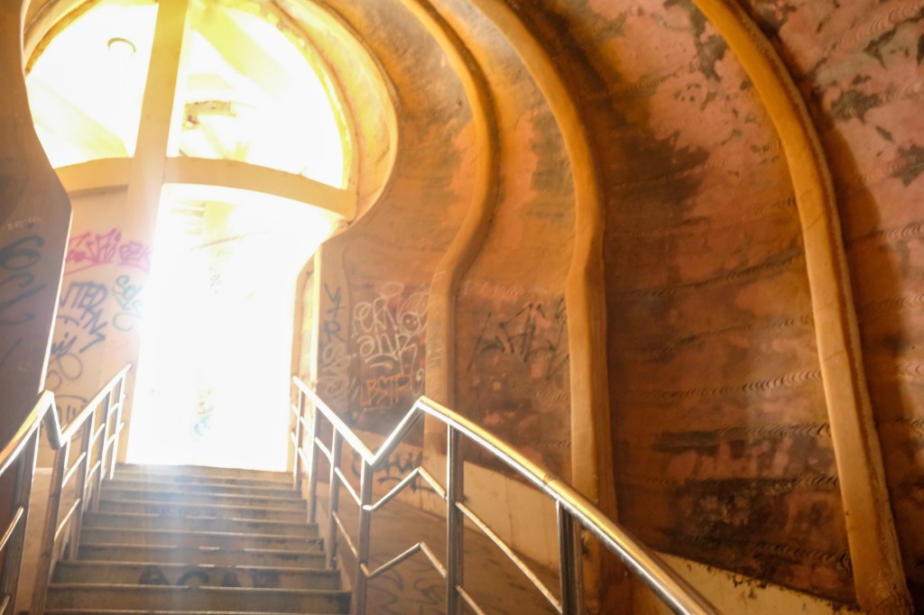
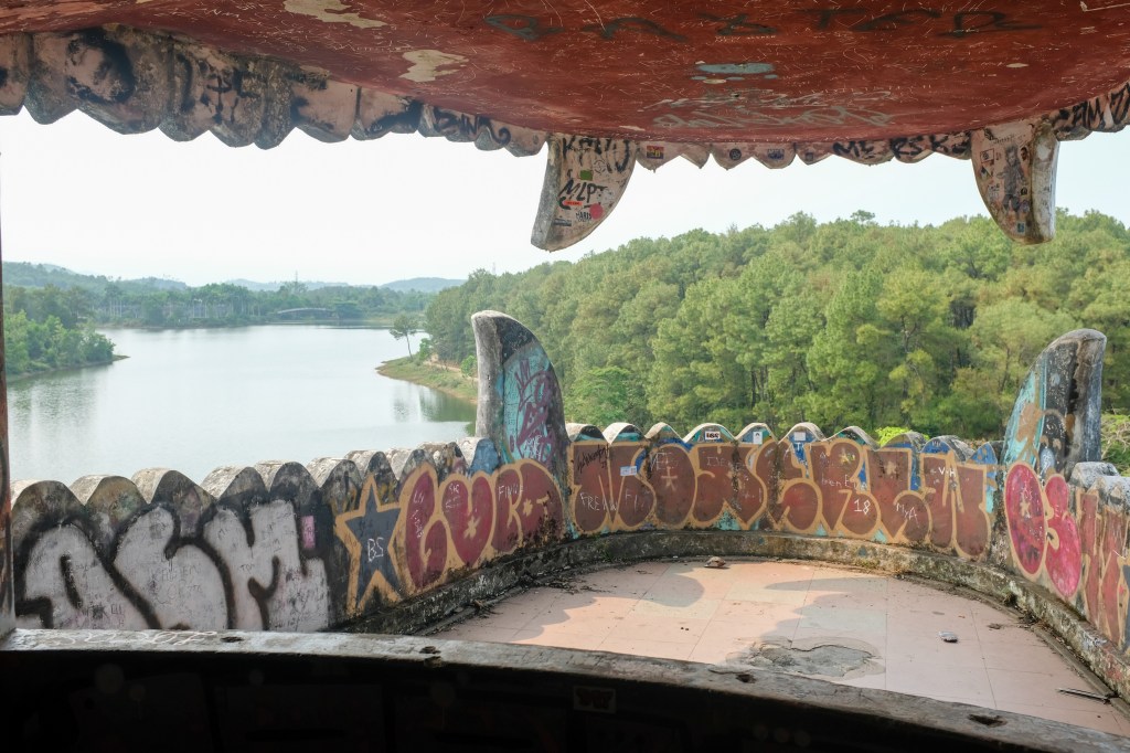
Then I headed over to the Thua Tien lake Abandoned Water Park. On the outskirts of Hue, its become a common destination for urban explorers due to its dilapidated state.
I wrapped up the afternoon visiting the incense village and taking in the views of the Perfume river on the top of the Doi Vong Canh hill.
Conclusion
While things didn’t go according to plan, it gave me some time to be reminded of how fortunate I am to be able to do all this traveling. It feels like my trip is rapidly coming to its conclusion – with only 6 weeks left. But I’m looking forward to making the most of the time that I have! And yes, I have begun apartment hunting for June – and yes – it IS, IN FACT, challenging to do with an 11 hour time difference – but that’s what the internet is for, I guess?
See you in a couple weeks as I explore the North of Vietnam: Hanoi, Halong Bay, Ninh Binh, Sapa, and the Ha Giang loop.
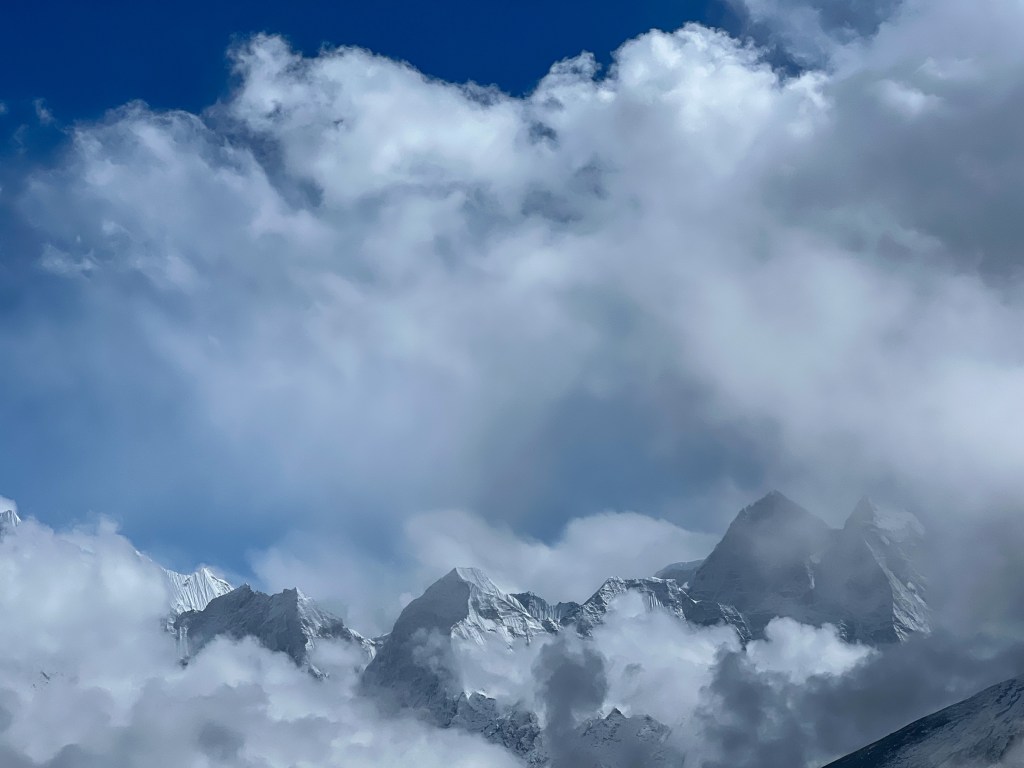
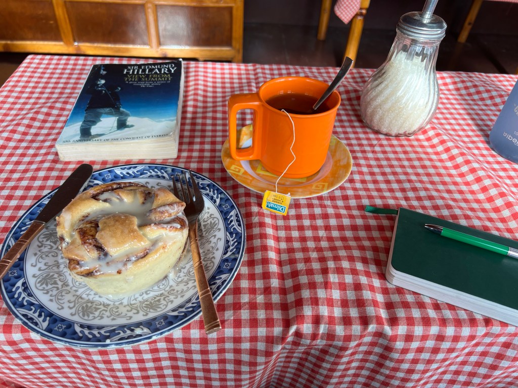
Unfortunately, I realized in the wi-fi-suffocated reaches of the Himalayas that I could not access the book I initially put down as my bookclub choice. On the bright side, the tea house I was staying at had another, tantalizing option – View from the Summit by Sir Edmund Hillary – the first person, along with Tenzing Norway, to summit Mount Everest.
As a result, I’ll spend a bit more time in this post talking about Hillary and Tenzing and their impact on the Himalayan region.
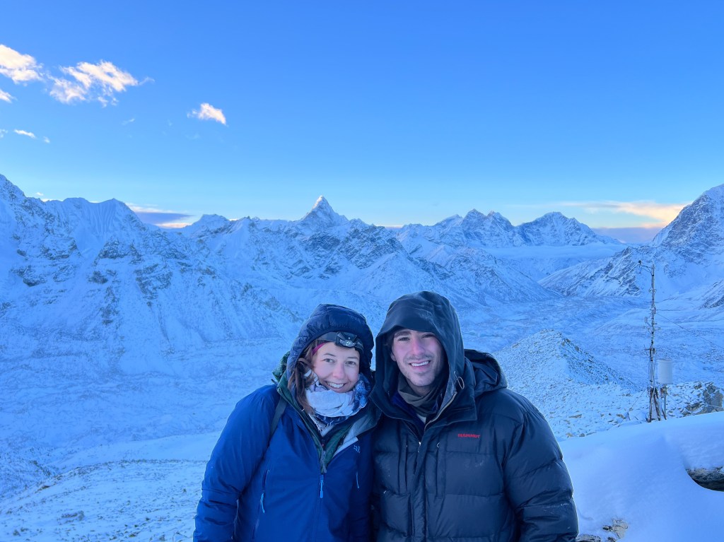
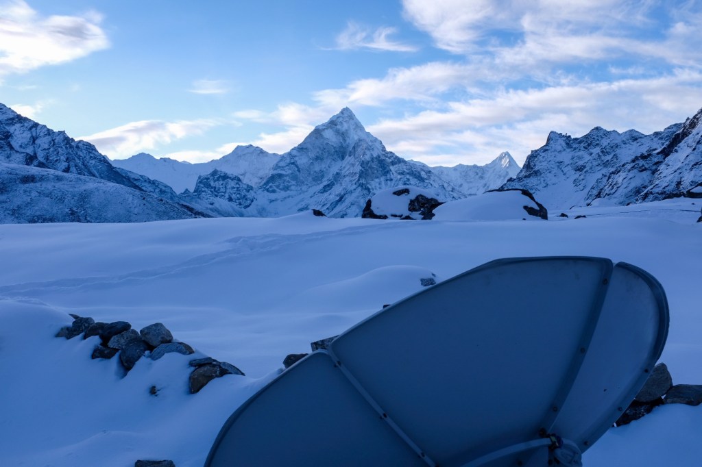
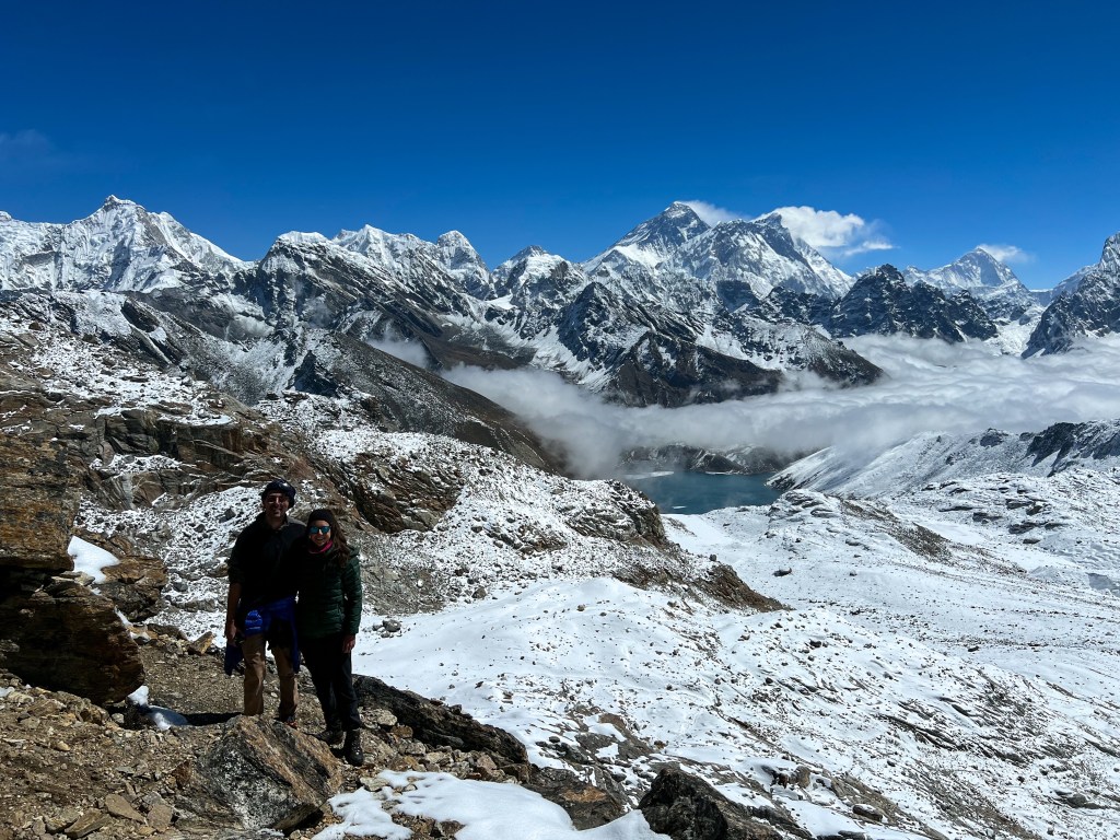
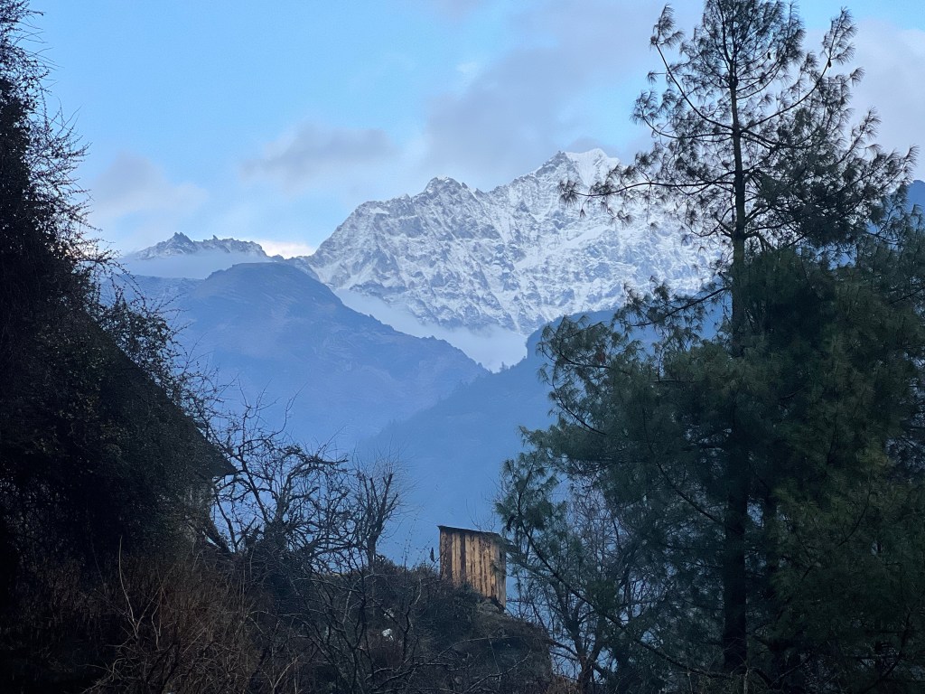
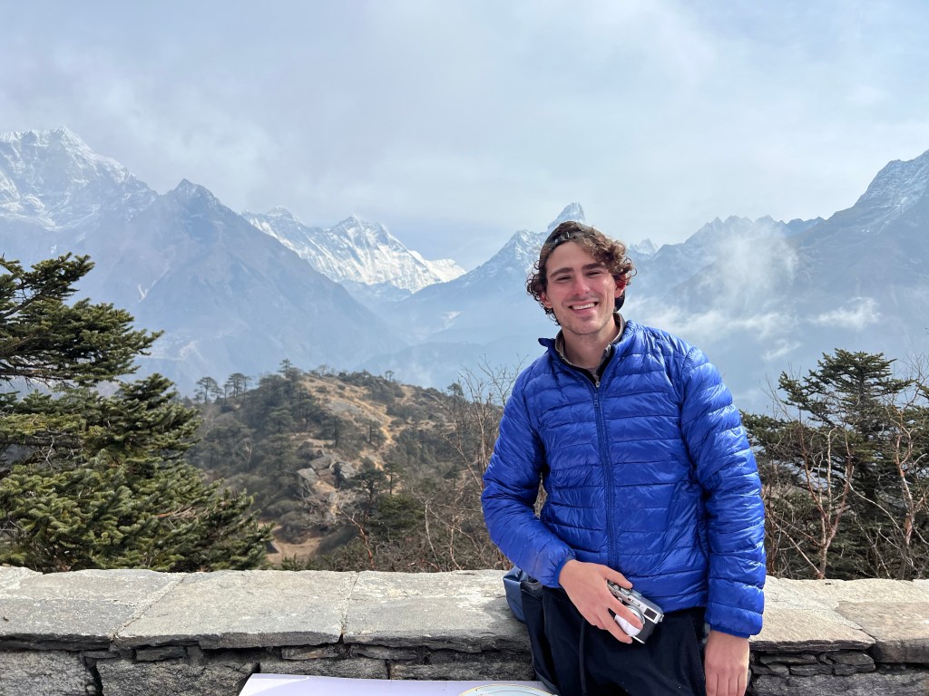
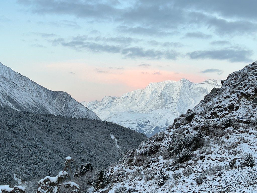
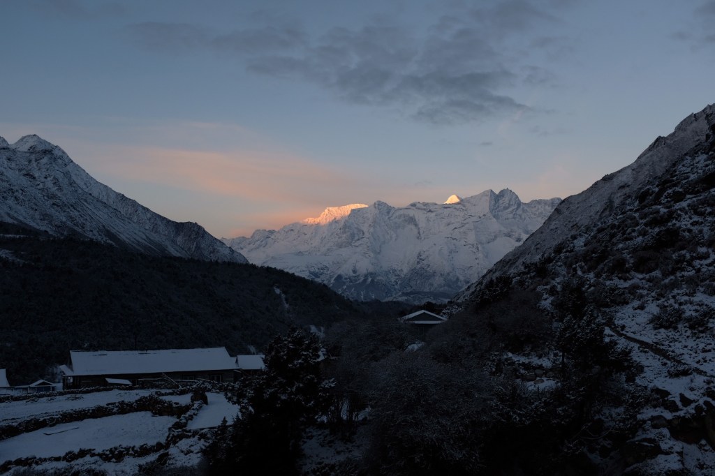
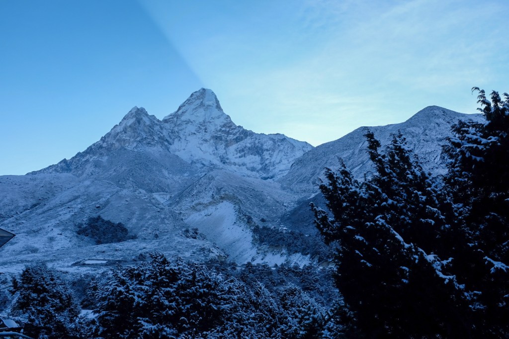
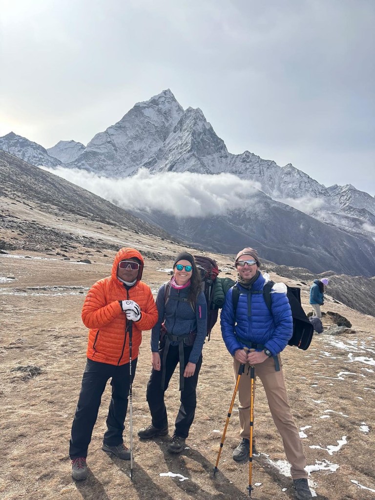
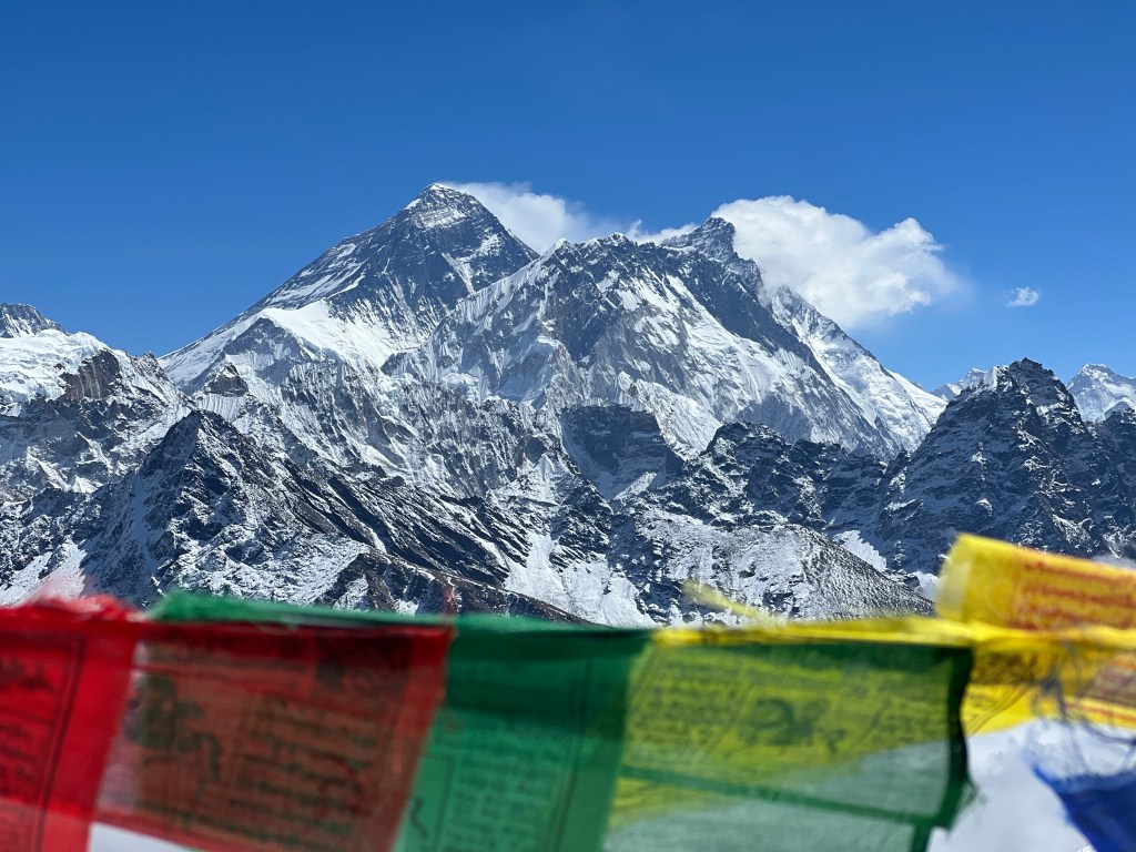
Hillary & Everest in the background
Hillary, originally from New Zealand, was born in 1919. In 1939, he made his first major climb, reaching the summit of Mount Ollivier in New Zealand. After serving in the Royal New Zealand Air Force in World War II, he was a part of the British reconnaissance expedition to Everest in 1951. In 1953, Hillary and Norgay, with the support of 362 porters and 20 sherpa guides, submitted Everest, spending about 15 minutes at the peak.
Hillary (left); Norgay (right)
Starting around 1960, Hillary devoted himself to assisting the Sherpa people of Nepal through the Himalayan Trust. His and Norgay’s efforts are credited with the construction of several schools, hospitals, and airfields in Nepal.
Norgay was born in 1914 and raised in Tengboche, a small hamlet with a Buddhist Monastery that many trekkers pass on their way to Everest Base Camp. He had his first opportunity to join an Everest expedition at age 20, when Eric Shipton assembled the 1935 British Mount Everest reconnaissance expedition. Norgay participated as a high-altitude porter in several British attempts to climb everest throughout the 1930s. In 1947, Norgay participated in yet another unsuccessful summit attempt of Everest. Despite these failures, Norgay was able to develop a strong memory of the climbs necessary to complete the summit, proving to be invaluable in the 1953 attempt with Hillary.
Norgay
After summiting Everest, Norgay became the first Director of Field Training of the Himalayan Mountaineering Institute.
Both Tenzing Norgay and Edmund Hillary played a vital role in transforming the Himalayan region into what it is today – and I highly recommend reading Hillary’s book, or Norgay’s autobiography, Tiger of the Snows, for anyone interested in how mountaineering played a role in shaping the Himalayas today.
Over the next few weeks, I will be reading The Sorrow of War by Bảo Ninh, which offers a Vietnamese soldier’s perspective of the American invasion of Vietnam from 1955-1970.
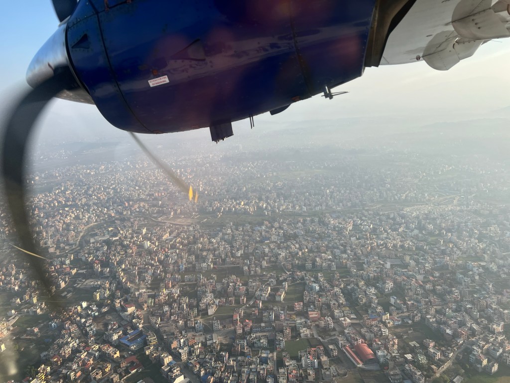
I woke up bright and early for my 6:30am flight back to Kathmandu. Determined to appreciate my last moments in the mountains, I watched the Sunrise from the airport, as the planes came in, dropping off fresh-faced trekkers eager to begin their journey. I felt a bit of nostalgic as I saw their excited faces – but that faded quickly as I was reminded of the hot showers and plethora of cheap foods waiting for me in Kathmandu.
It was time to go home.
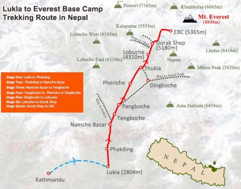
EBC & the 3 Passes: The Numbers (3/15-3/29)
Gear Carried: 32lbs to 35lbs, depending on the required gear & daily water intake
Weight: 170lb -> 165lb
Distance: 124 miles covered (about half up, about half down – but who’s counting)
Time: 90 hours hiking
Average Heart rate: 52 (resting), 142 (high)
Calories Burned: 60,000 (according to Garmin)
Average Sleep: A solid 8h 30m!
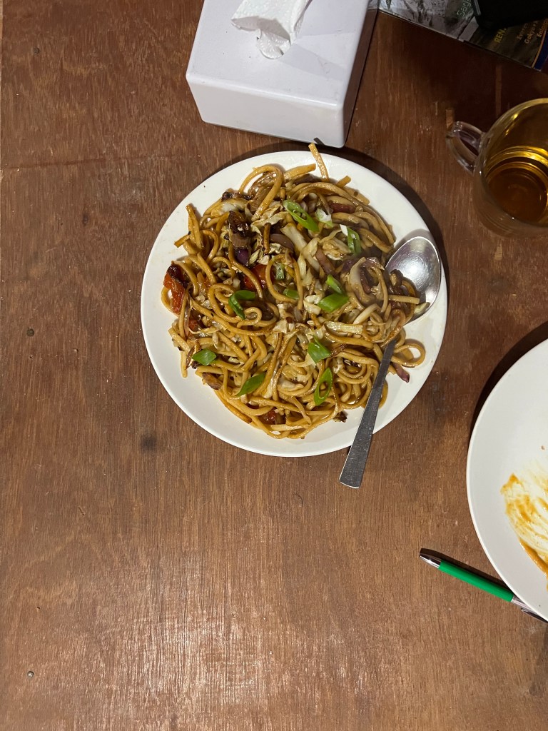
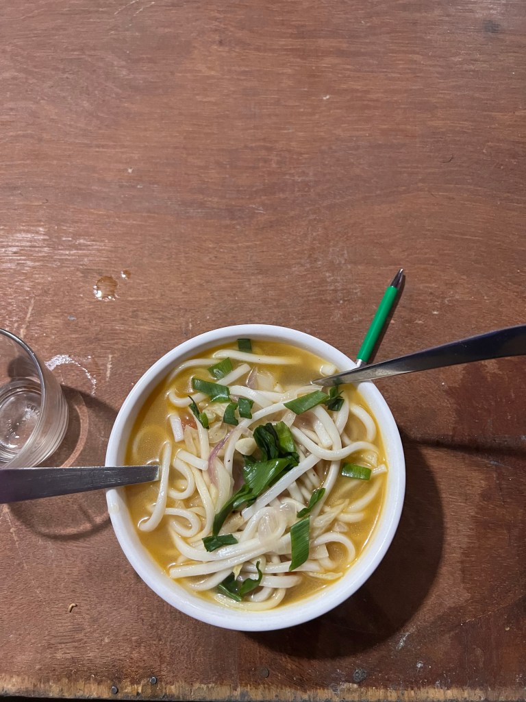
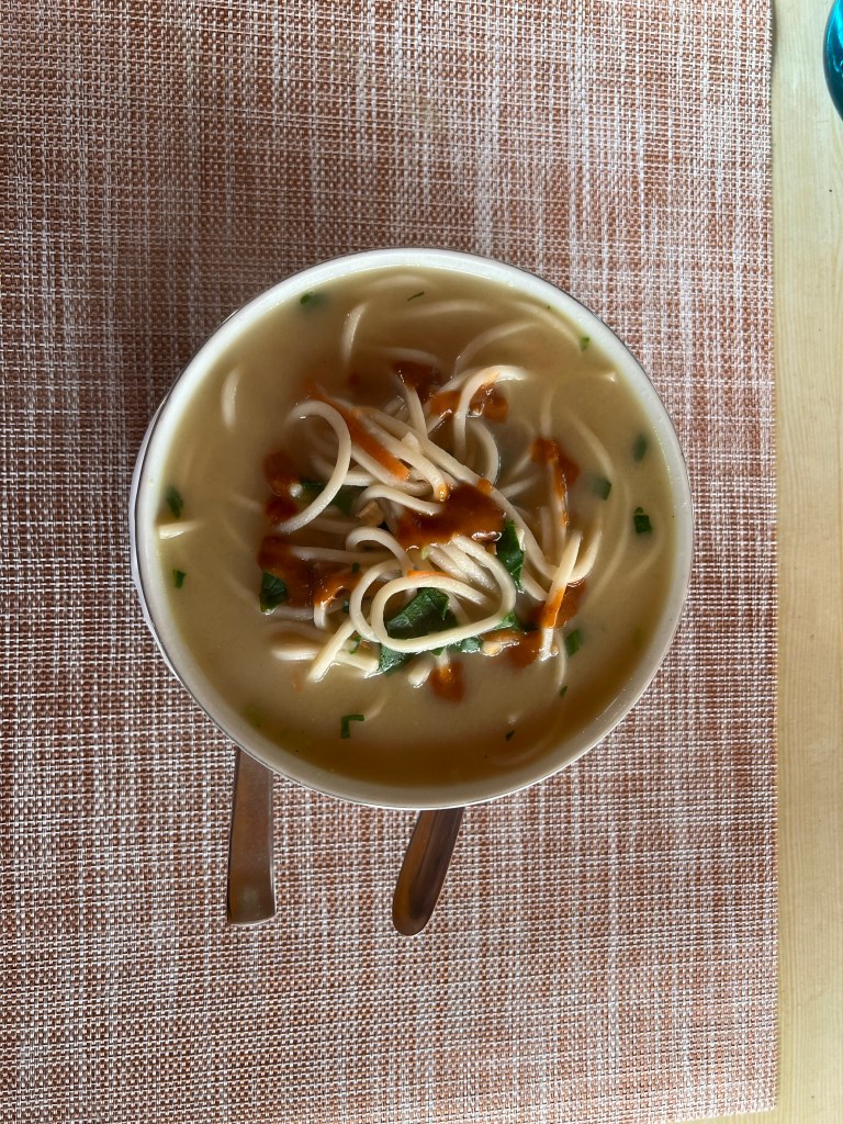
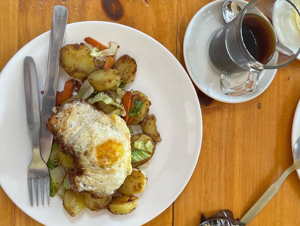
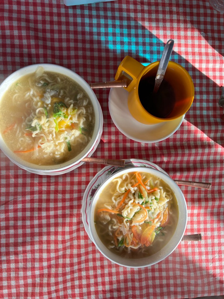
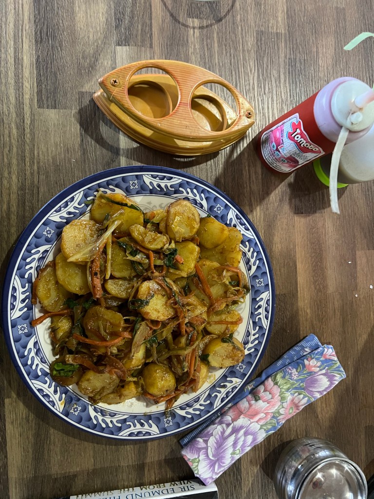
Food & Drink: 8 Dal Bhats, 6 curry rices, 8 chapatis, 16 eggs, 6 tibetan breads, 8 noodle soups, 6 plates of fried potatoes, 3 plates of chowmein, 12 samosas, 4 batches of momos, 2 cinnamon rolls, 5 snicker rolls, 14 cups of coffee and probably 20 liters of tea. Oh, and one hot toddy.
Days 16-18: Touring Kathmandu
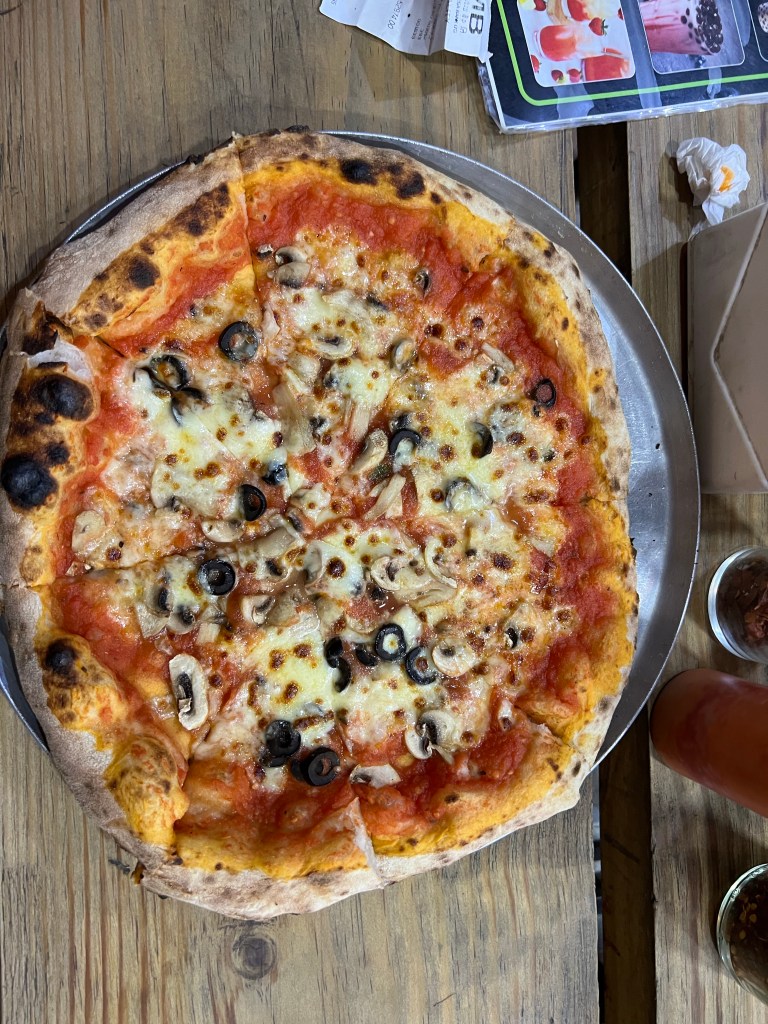
Arriving in Kathmandu, all I could think about was eating. Over the past 2 weeks, I had lost 5lbs, and my body was determined to gain it all back with fried momos, smoothie bowls, pizza, and copious amounts of chocolate.
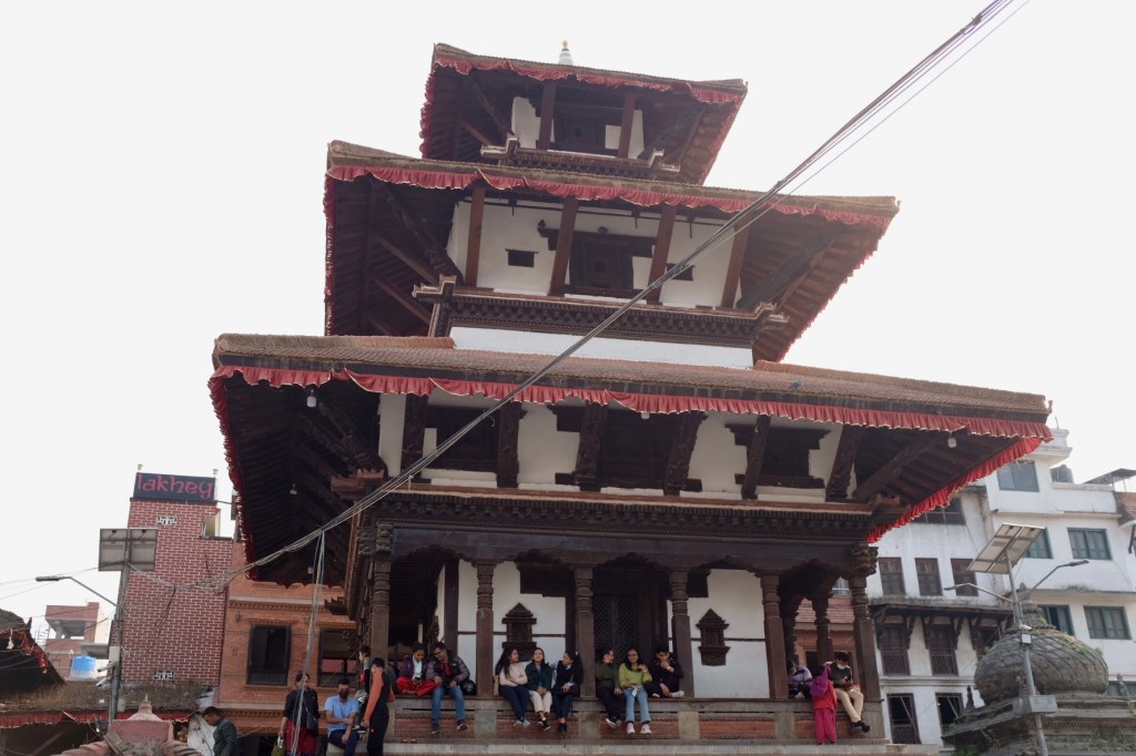
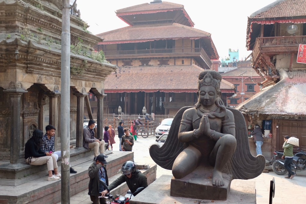
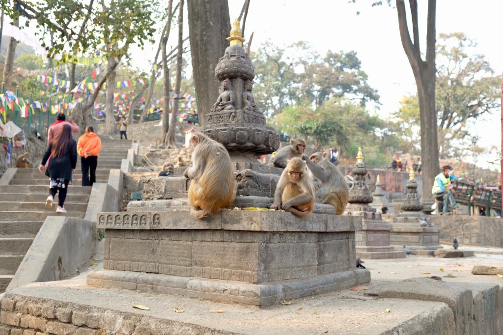
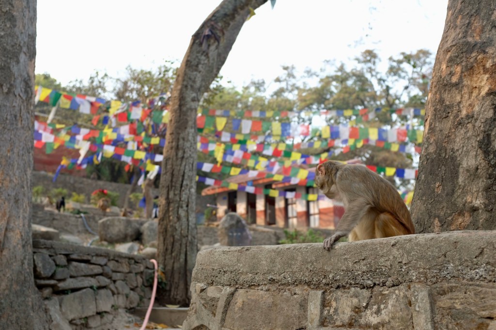
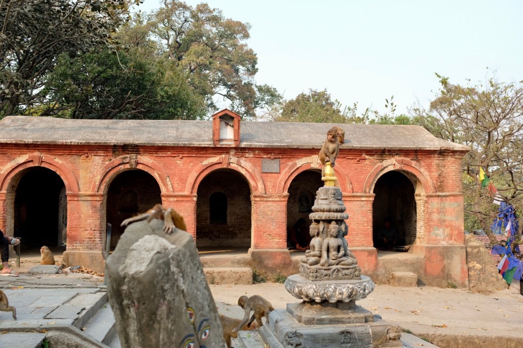
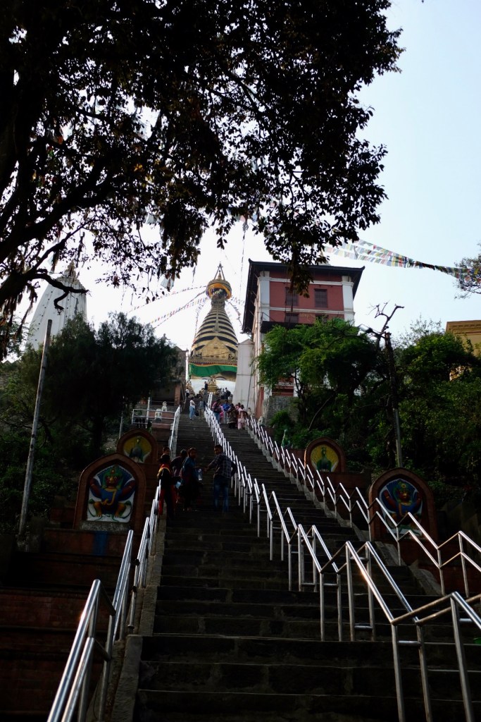
With a few days in Kathmandu before my flight to Vietnam, I found some time between eating and sleeping to explore some of the city’s sites. I won’t spend too much time on this but here are some photos of Durbar Square and Monkey Temple!
On our last night in Kathmandu, Sophie and I looked back on our 2 week adventure – going through the ~800 photos, reminiscing over our summits, and remembering the bigger-than-life characters we met along the way.
Conclusion
I know I have said several times over the past few months that I wish I had more time in the countries I am visiting – but my time in Nepal, and specifically the Himalayas, was different.
While my trips to places like Patagonia, Buenos Aires, and Tayrona felt like thrilling adventures, the Himalayas felt more like a coming home.
Despite never having spent time in the region (I didn’t even plan on visiting the Himalayas when I initially planned my 5-month trip), an unpronounced sense of serenity and joy came over me from the moment I entered Khumbu. While this may sound hyperbolic, it felt as though I was always meant to come to the Himalayas, and that the region would lure me back many times in the future.
It’s funny because when I first arrived in Nepal, I was actively resistant to the “white guy falls in love with Tibetan culture” stereotype that seemed to engulf the touristy parts of Kathmandu. For whatever reason, I was particularly sensitive to becoming THAT guy – the Western man in his 20’s rediscovering himself through a superficial introduction to Buddhism or a month long yoga retreat/etc.. And yet, while I haven’t become a yogi or a monk, I feel like I found a different type of home in the Himalayan region – with the magnificent peaks and ridges, the teahouse culture, and the inspiring resiliency of human survival in challenging conditions. I recognize that maybe this makes me fall into a different type of stereotype – an aspiring mountaineer? a pass-trekking hippy? an adreneilin junkie? All are possible – but quite frankly, I no longer care. I feel so gifted to have had the opportunity to experience the beauty and power the Himalayas has to offer, and that I could experience it at an age that will allow me decades of opportunity to return.
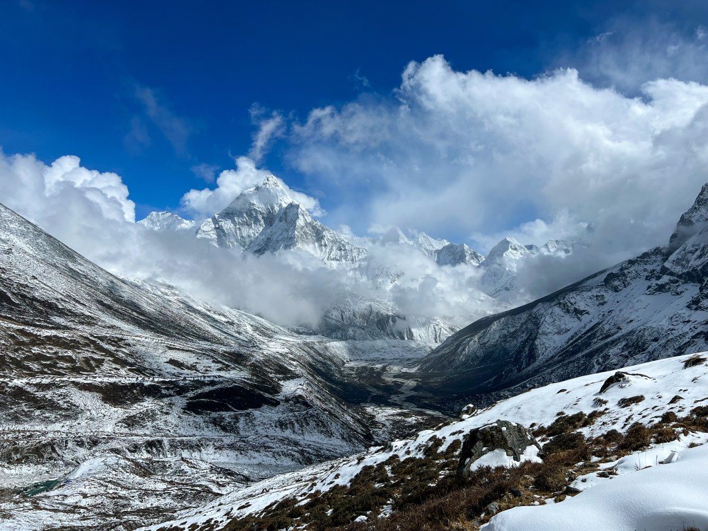
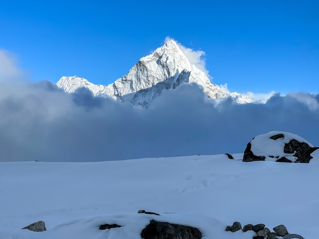
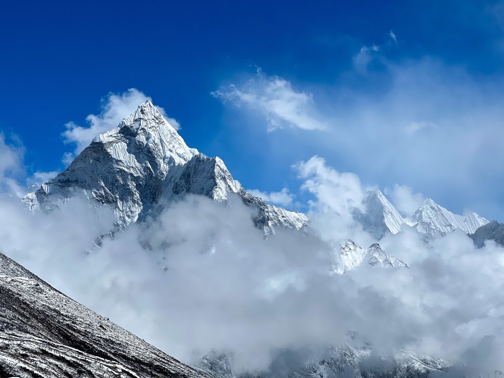
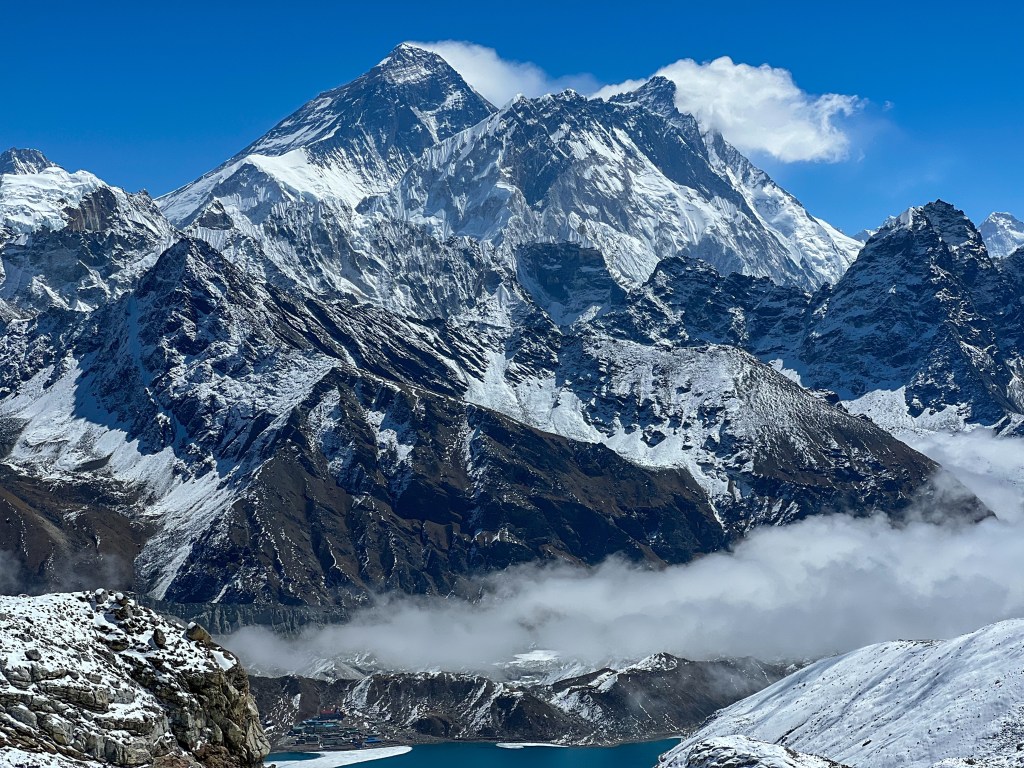
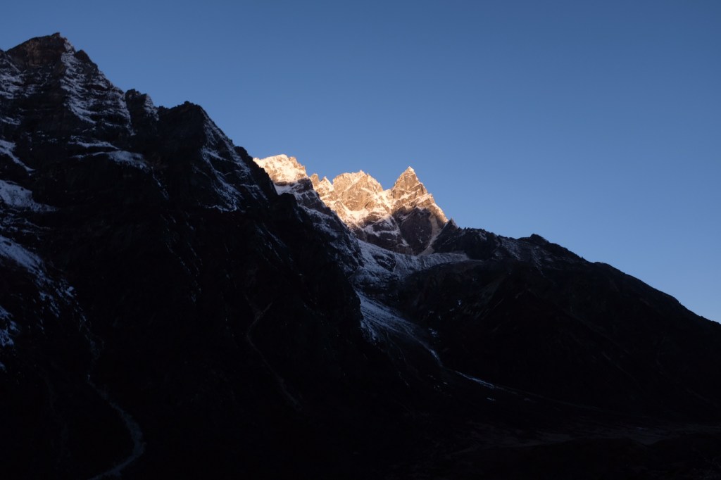
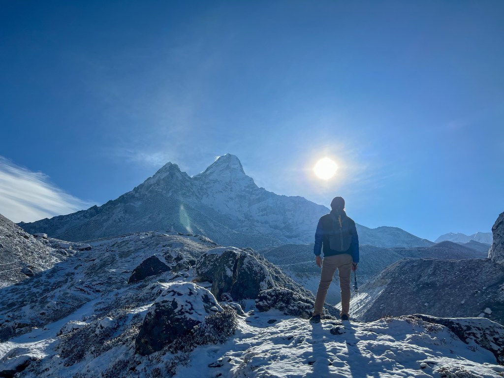
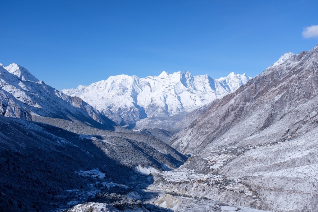
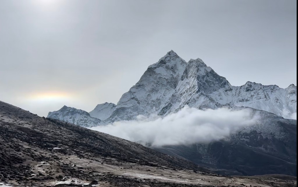
In my second post, I mentioned Ama Dablam. Sitting at 6,812 meters, the majestically-peaked mountain towers over trekkers through (nearly) the entire Khumbu region. From the moment I heard you could take an expedition to her summit, I wanted to start training – no matter how long it took. And I think this is emblematic of the kind of impact this region has had on me. For much of my life, I’ve struggled to find physical activities that I have a strong affinity towards – While I like to train at the gym, go on runs, etc… it is more to strengthen my body and mind rather than an activity I do for fun. With trekking in the Himalayas, I’ve solidified activities – hiking, climbing, tackling challenging summits – that I have a strong passion for developing skill and expertise in. It brings yet another sense of purpose to my life – something that is very meaningful to me.
Ama Dablam
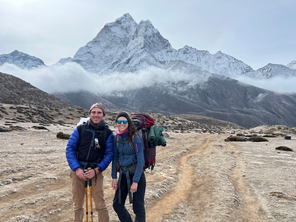
And that brings me to my trekking partner, Sophie, and our Himalayan mountaineer-mentor, Pierre, without whom, I don’t think I would have been able to experience & appreciate the Himalayas to the same extent that I did. To quote psychologist Wayne Dyer, “you have to see it to believe it!” (or was it “you’ll see it when you believe it”….). Through both Pierre and Sophie, I feel a unique relationship of shared experience that does not need to be expressed or explained – just felt in the moment.
This is the type of experience I am searching for, and I am sure I will return to the Himalayas many times in my life to find it again.
See you next week in Vietnam, where I will tackle Ho Chi Minh, Hoi An, and Hue. Don’t worry, I’ve left some time for Hanoi and Northern Vietnam too.
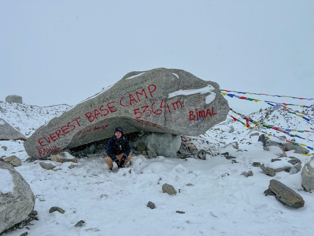
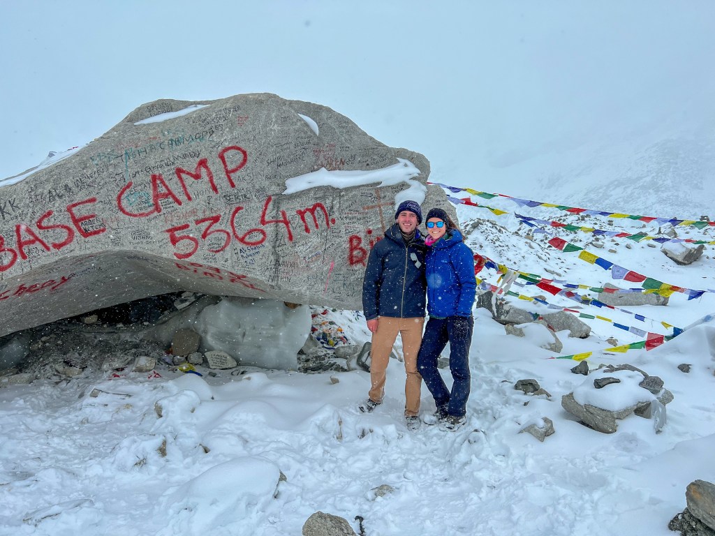
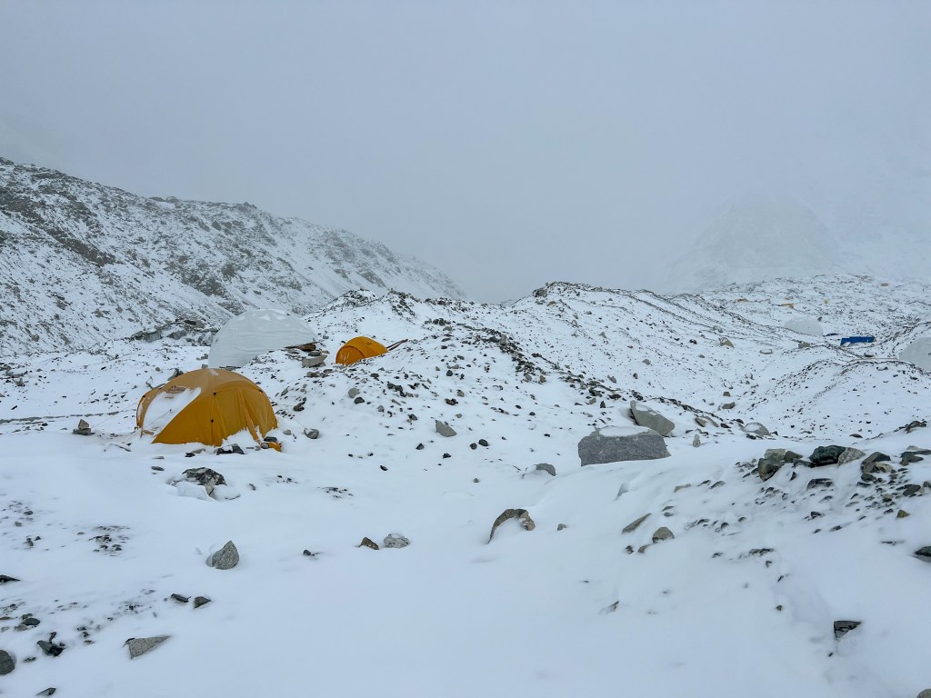
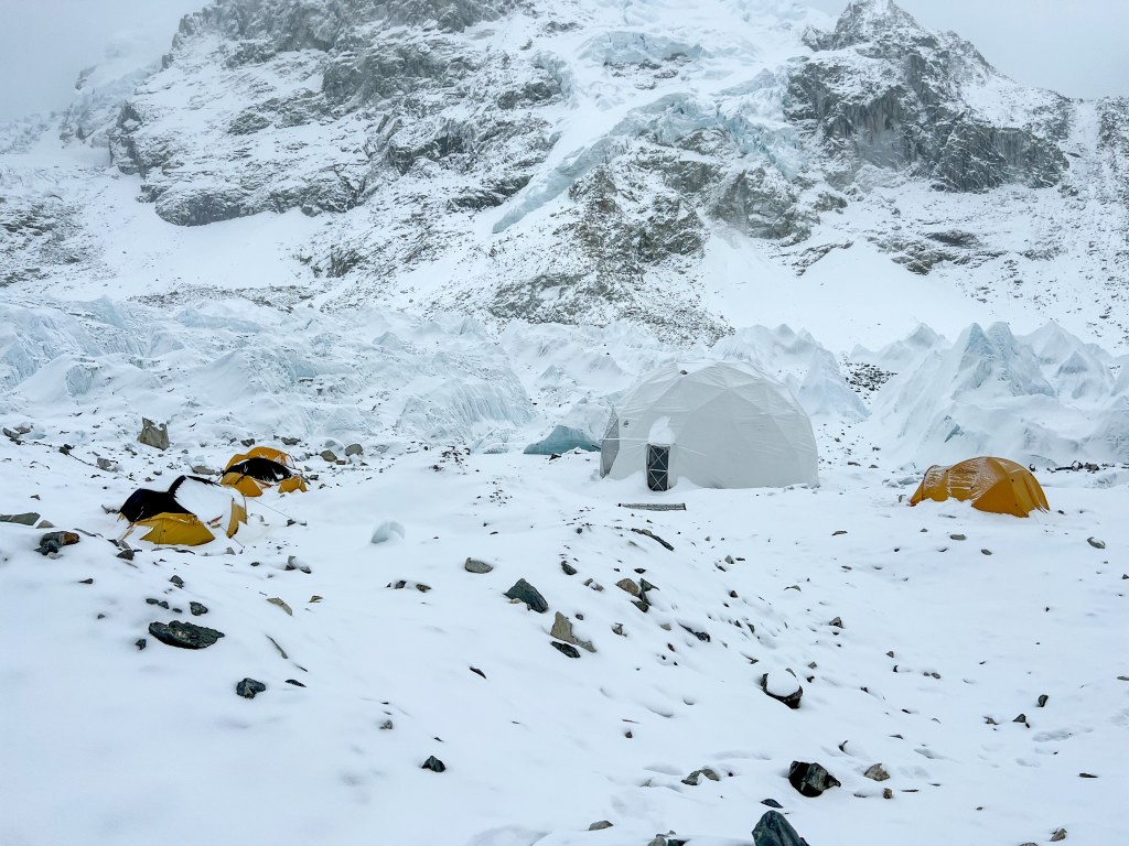
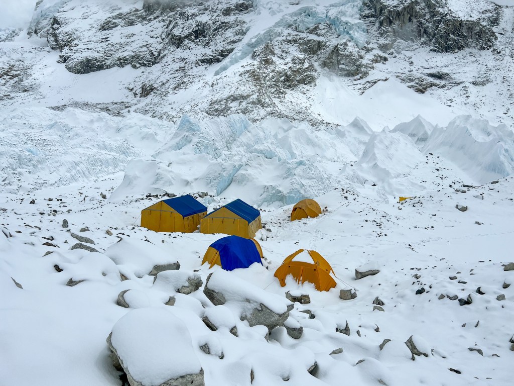
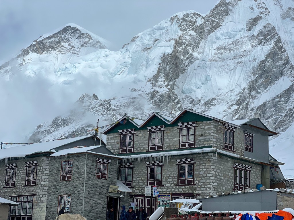
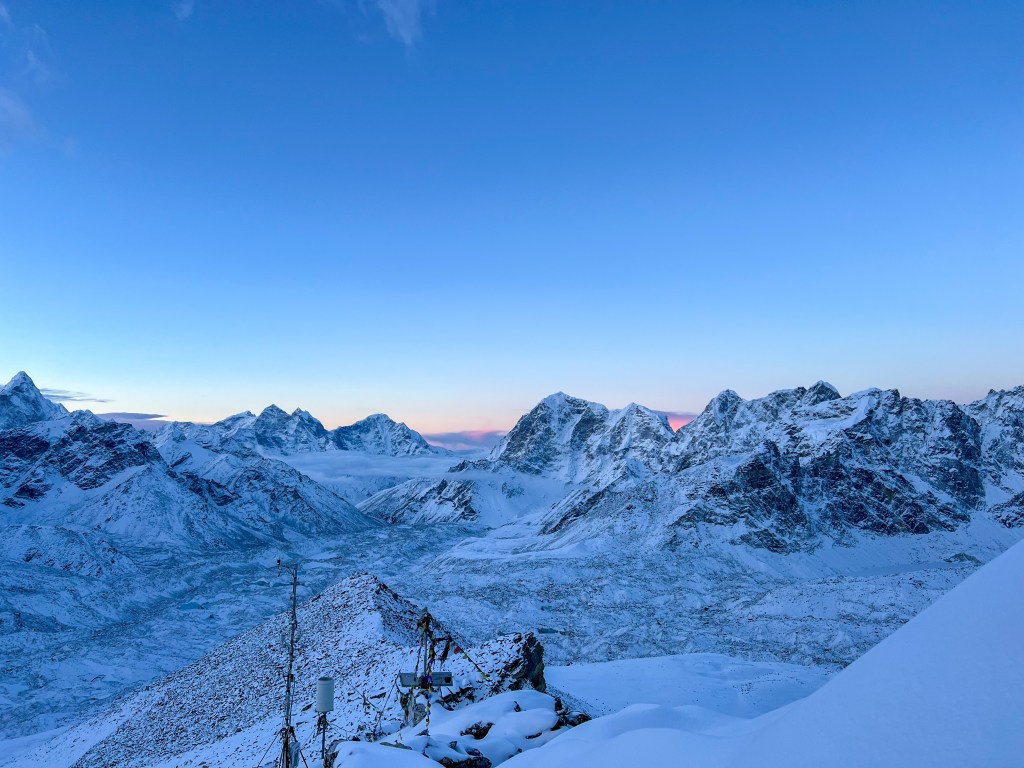
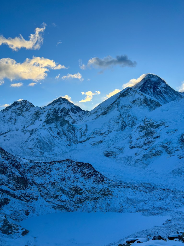
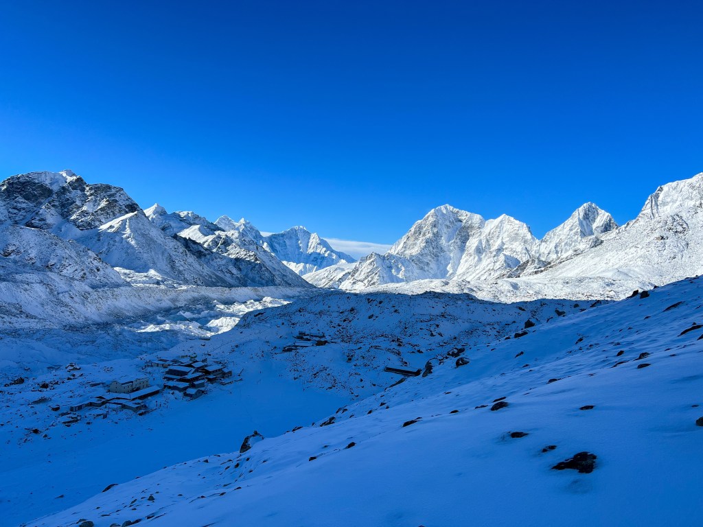
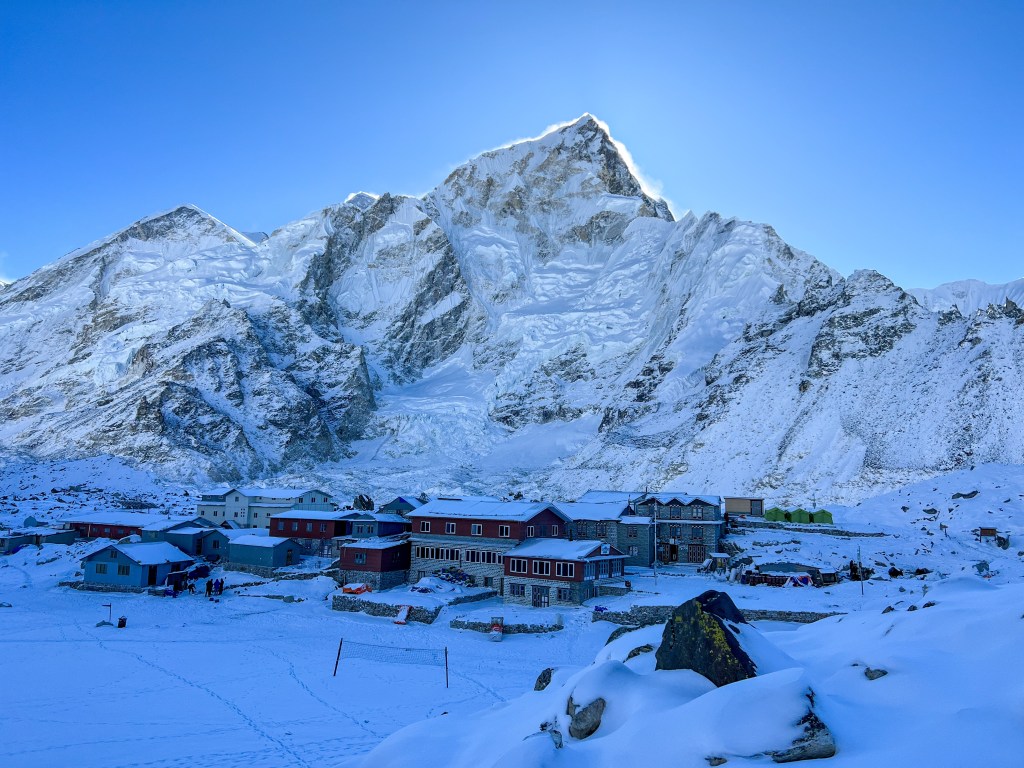
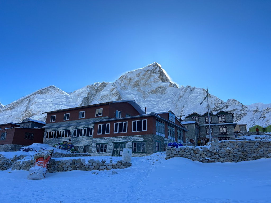
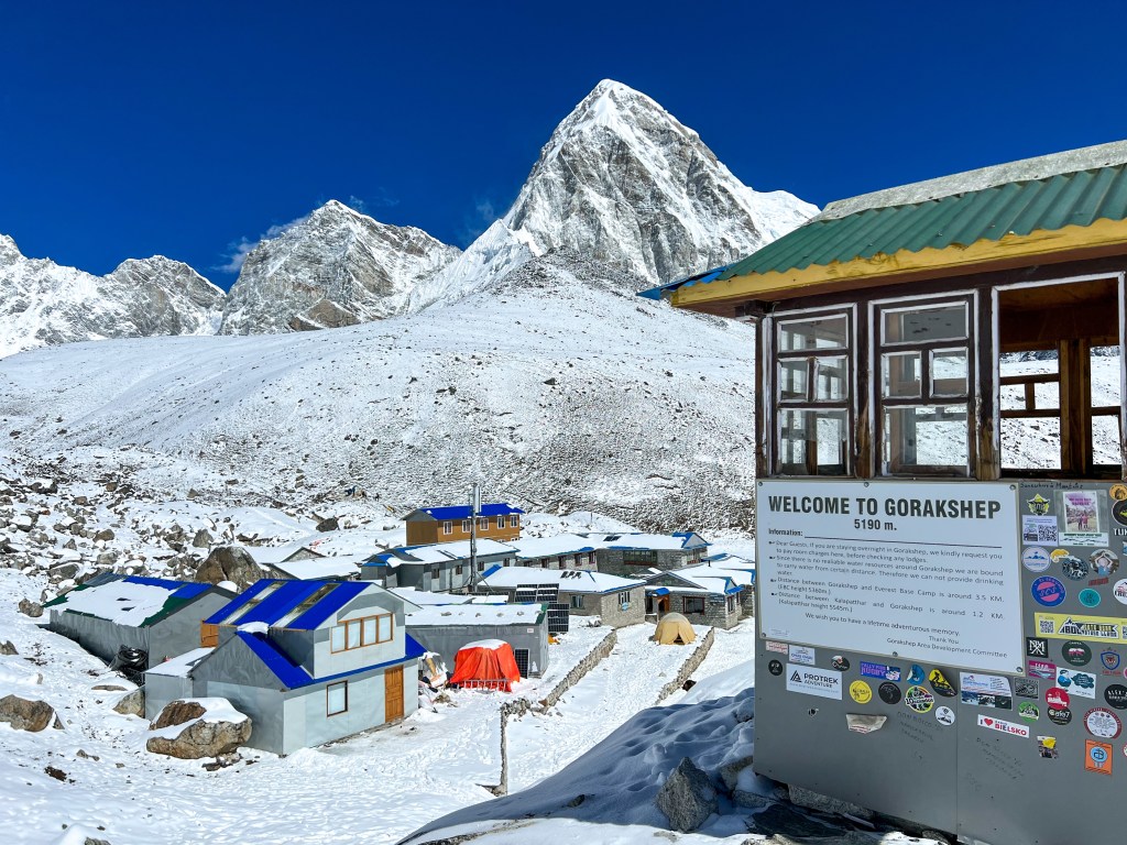
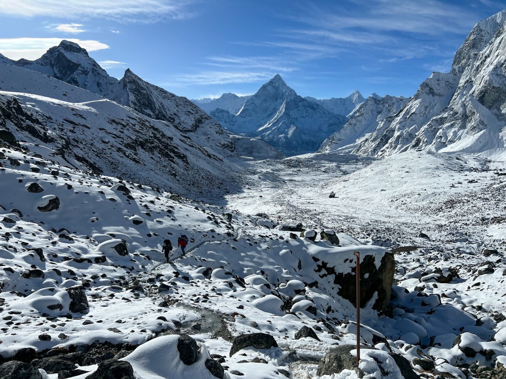
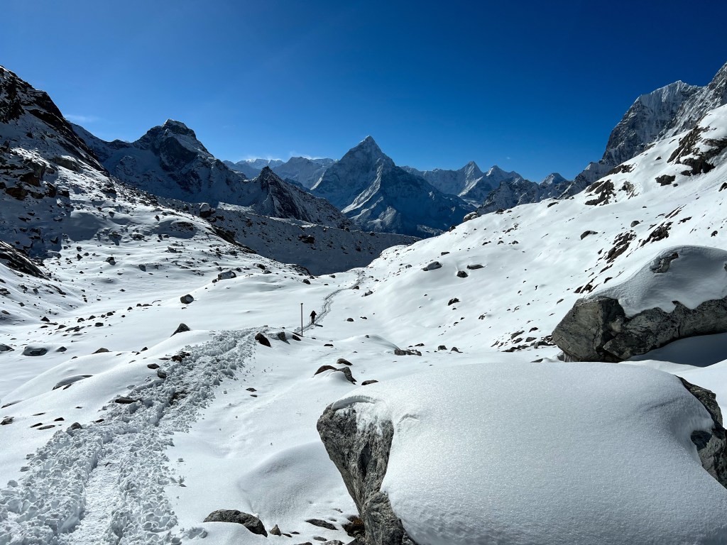
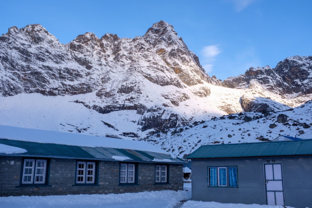
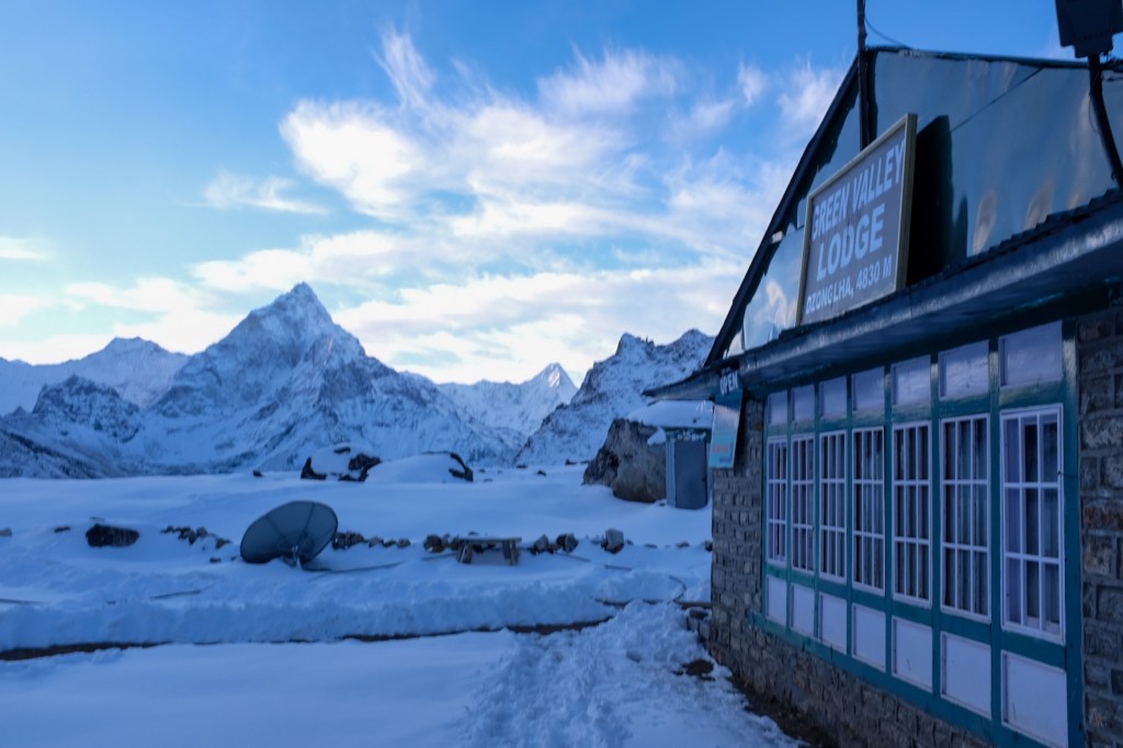
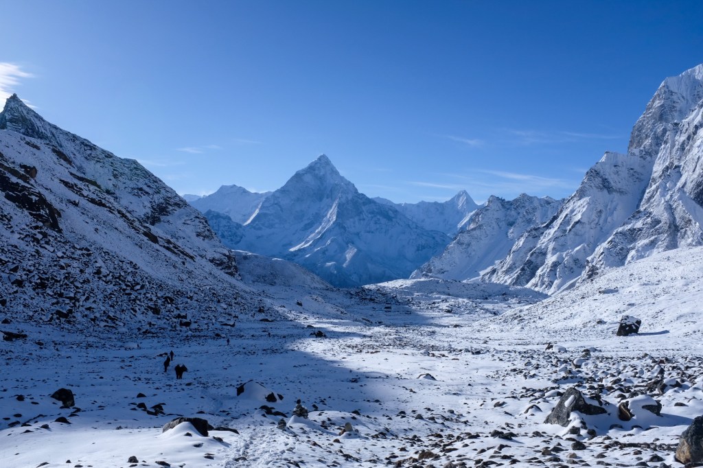
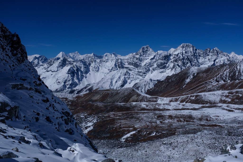
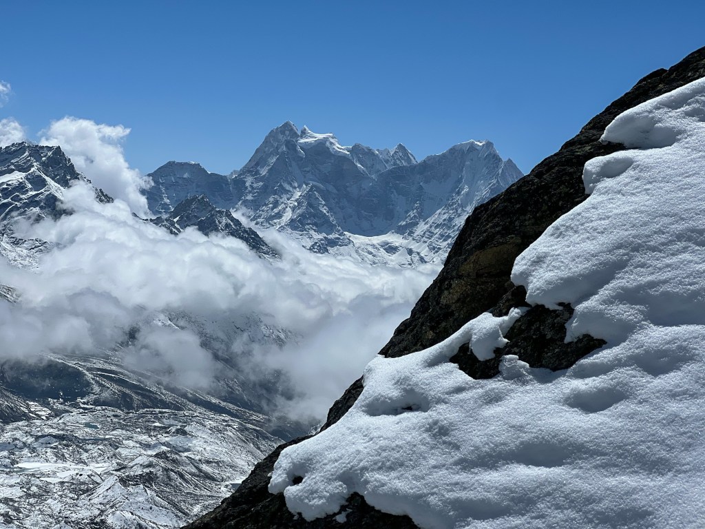
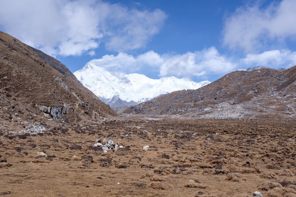
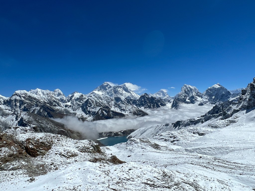
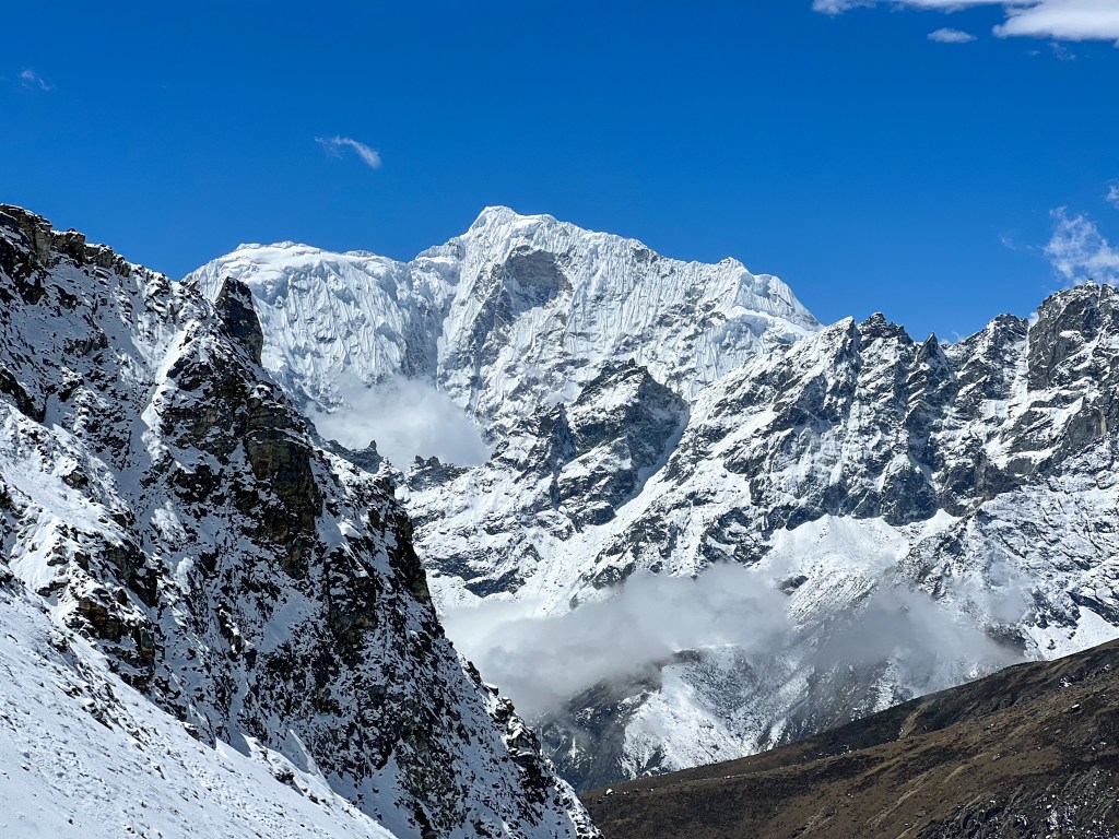
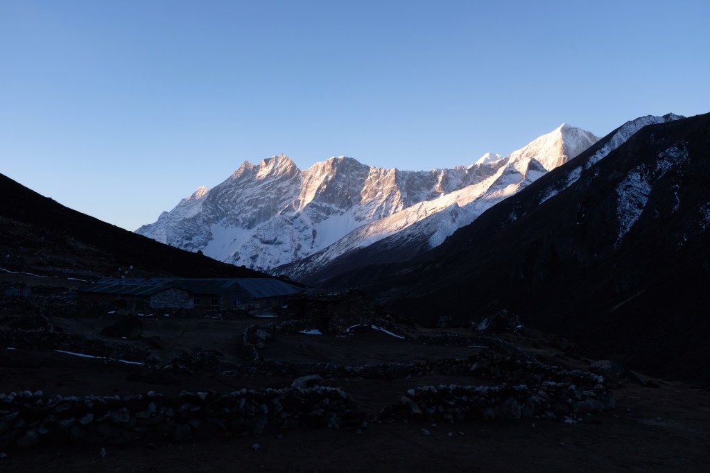
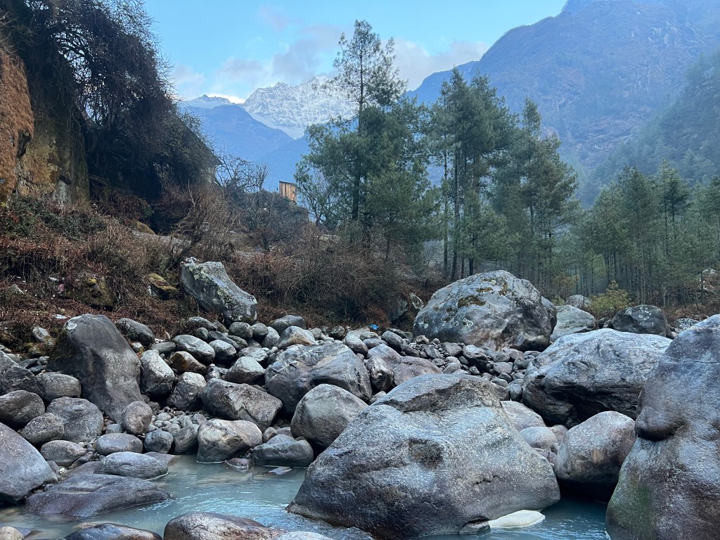
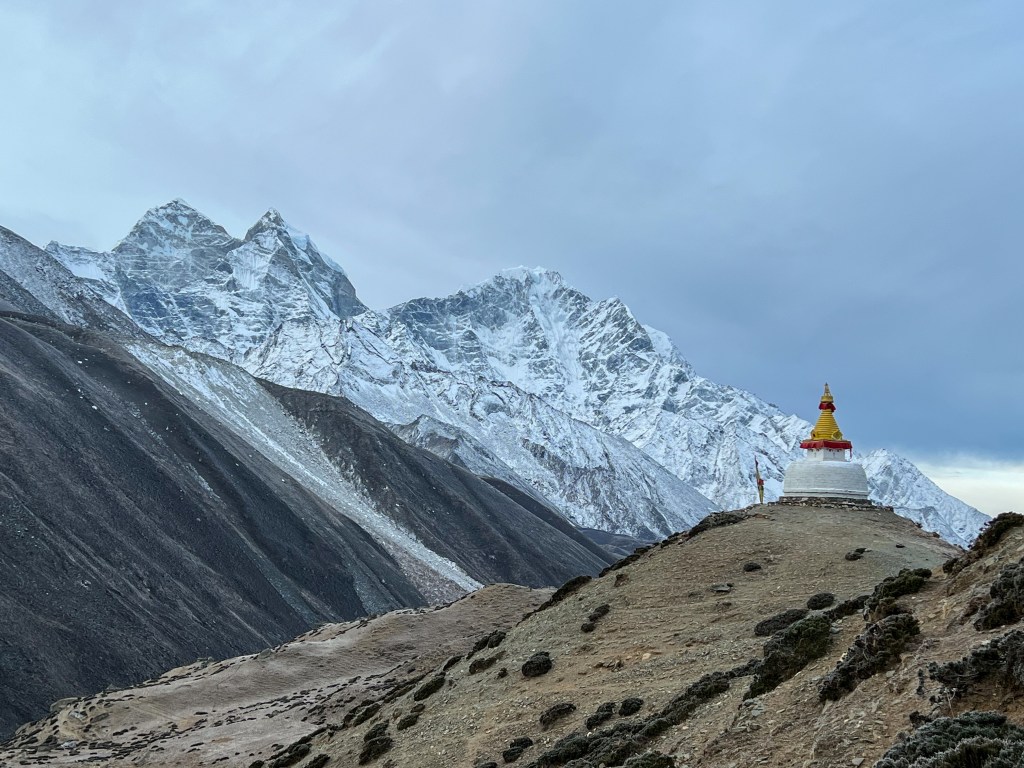
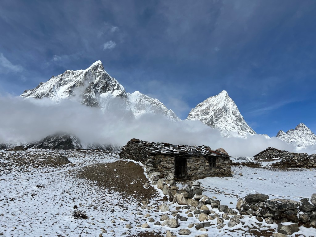
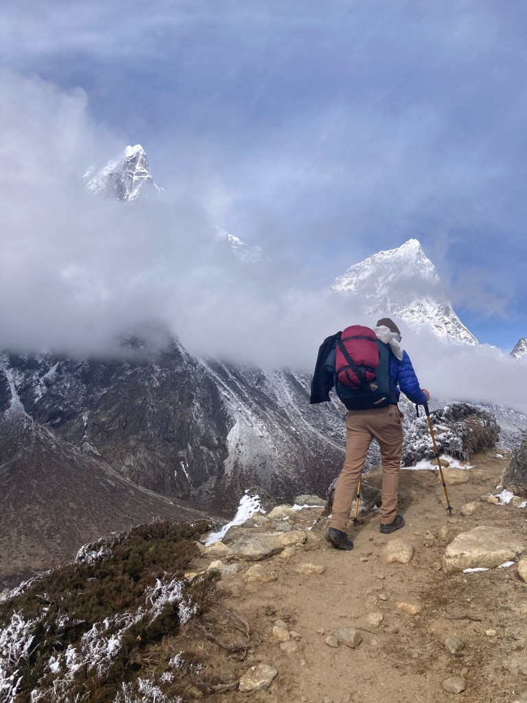
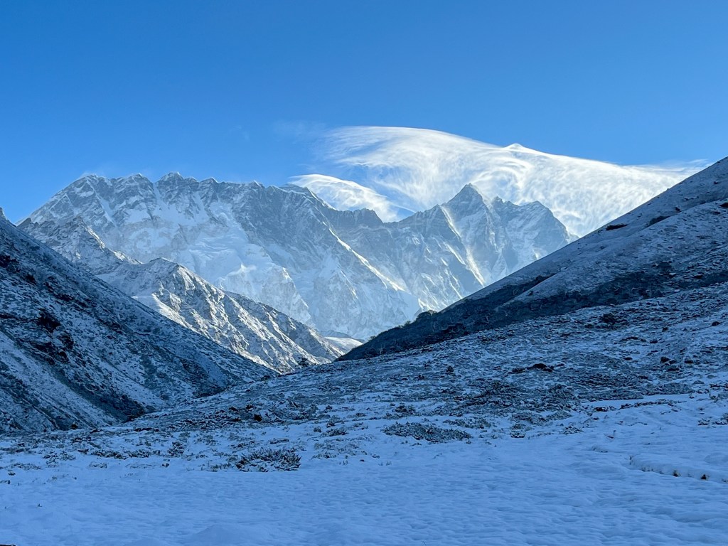
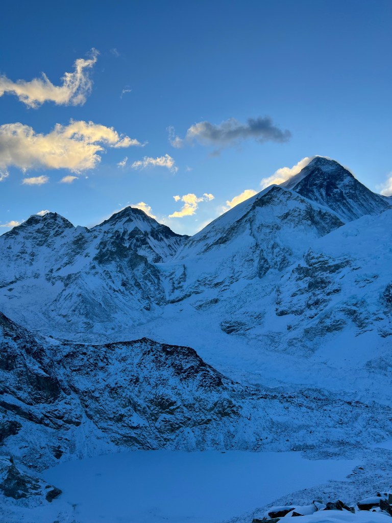
Day 8: Lobuche (4,930m.) -> Gorakshep (5,170m.) and Everest Base Camp (5,364m.)
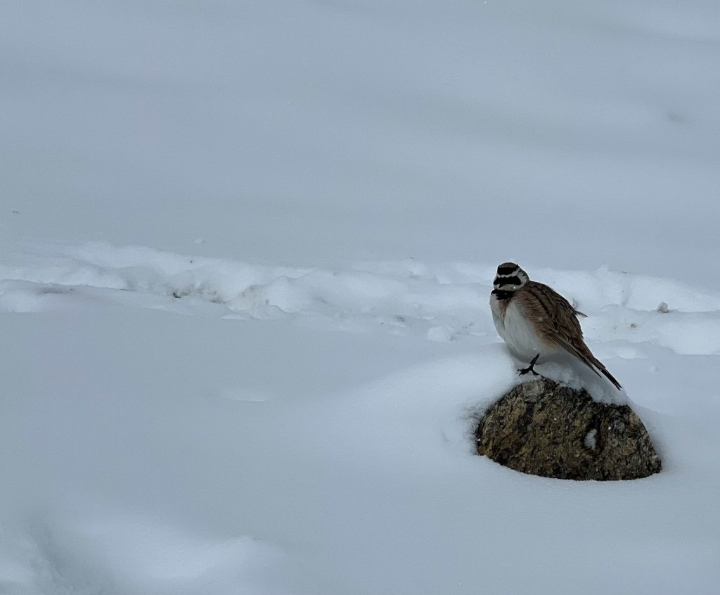
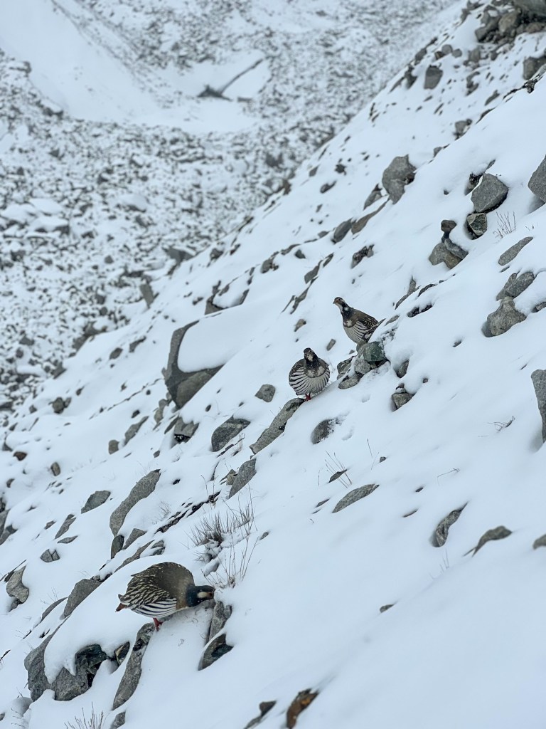
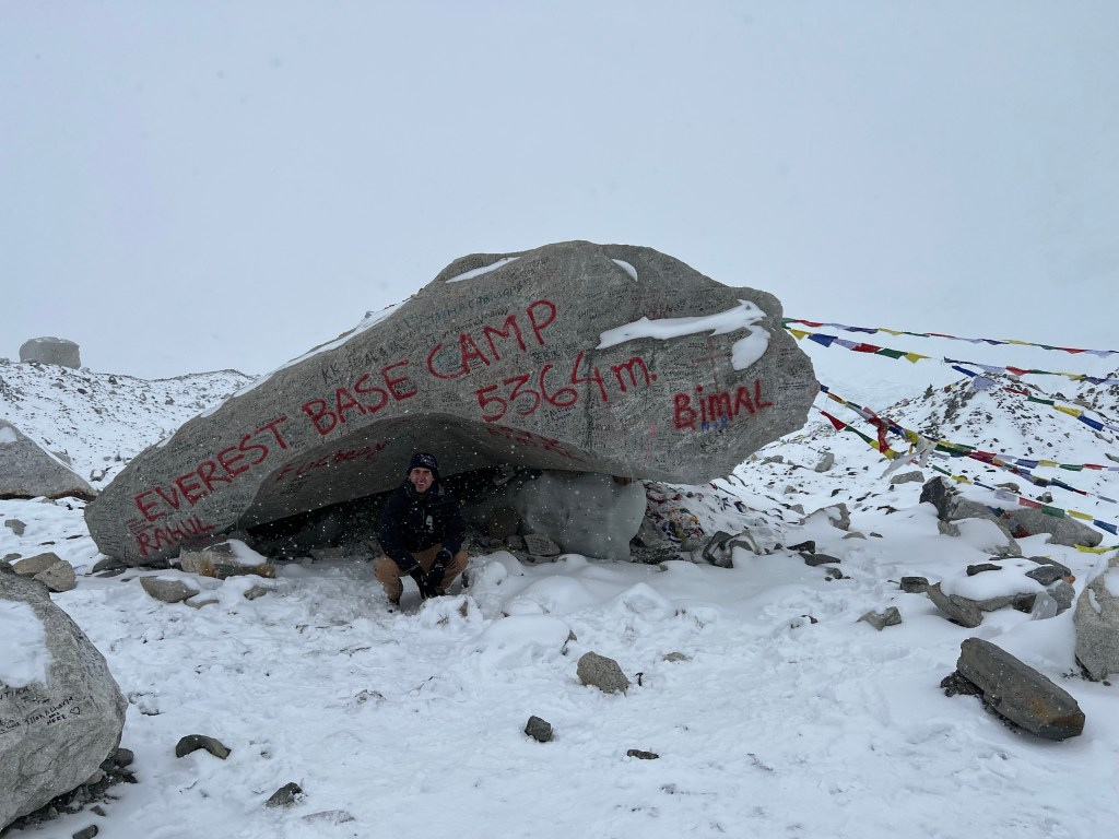
Today, Sophie and I had another early morning, starting our trek to Gorakshep at 5:30am. Unfortunately, the weather was cloudy with snow flurries, making it a bit more challenging then usual to reach the next teahouse in Gorakshep, the original base camp for Everest. Despite this, we pushed through the snow and reached the small hamlet by late morning. Dropping off our heavy gear, we headed through a calmer set of snow flurries to Everest Base Camp, a 5 hour hike there-and-back.
Arriving at EBC, we got the first taste of our achievement.
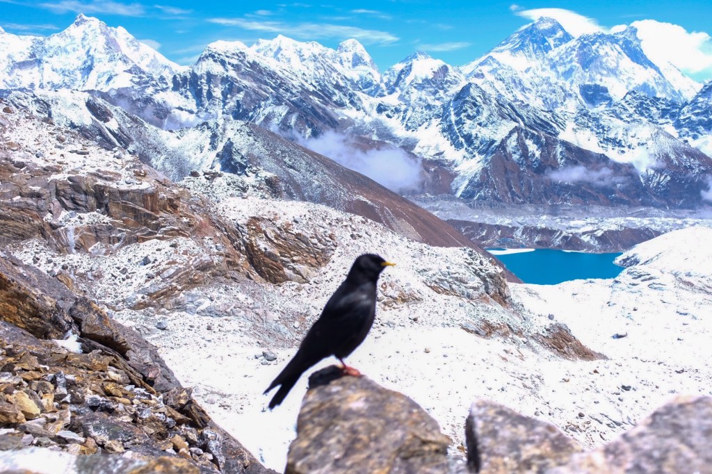
Fascinating to me was that at 5,364 meters, there were birds flourishing in the frozen tundra environment – most surprisingly, mountain hens!
While at EBC, the snow and wind started to pick up again, so we rushed back to Gorakshep to warm up with some tea, soup, and the fire.
One of the biggest challenges of trekking at such a high altitude is trying to keep your gear (particularly shoes and socks) dry in order to prevent any cold-related injuries. By 5,000 meters, Sophie and I would dry our gear at every possible moment, freeing our cold, tired feet from the damp clenches of our waterproof boots. While we would spend hours drying our shoes, it wasn’t until we went about 2,500 meters down that they finally seemed to truly dry.
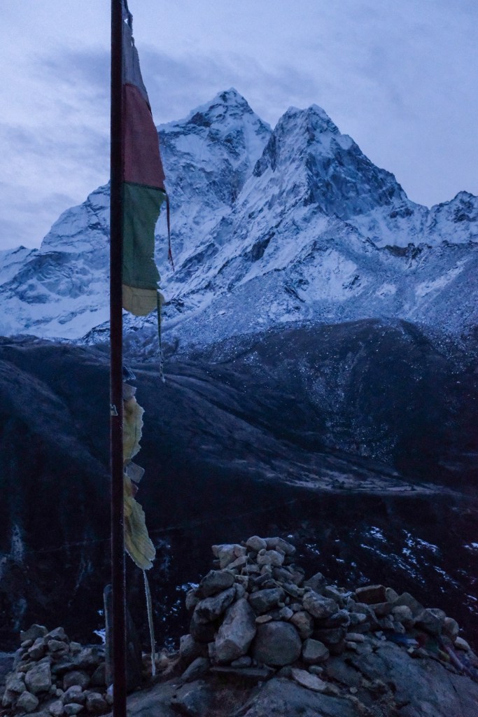
Exhausted from the day, we went to bed early and mentally prepared for what would be the coldest start to our trekking – a 2-hour 3:30am sunrise hike to Kalapatthar (5,650m.) in -2°F (-18°C) temperatures.
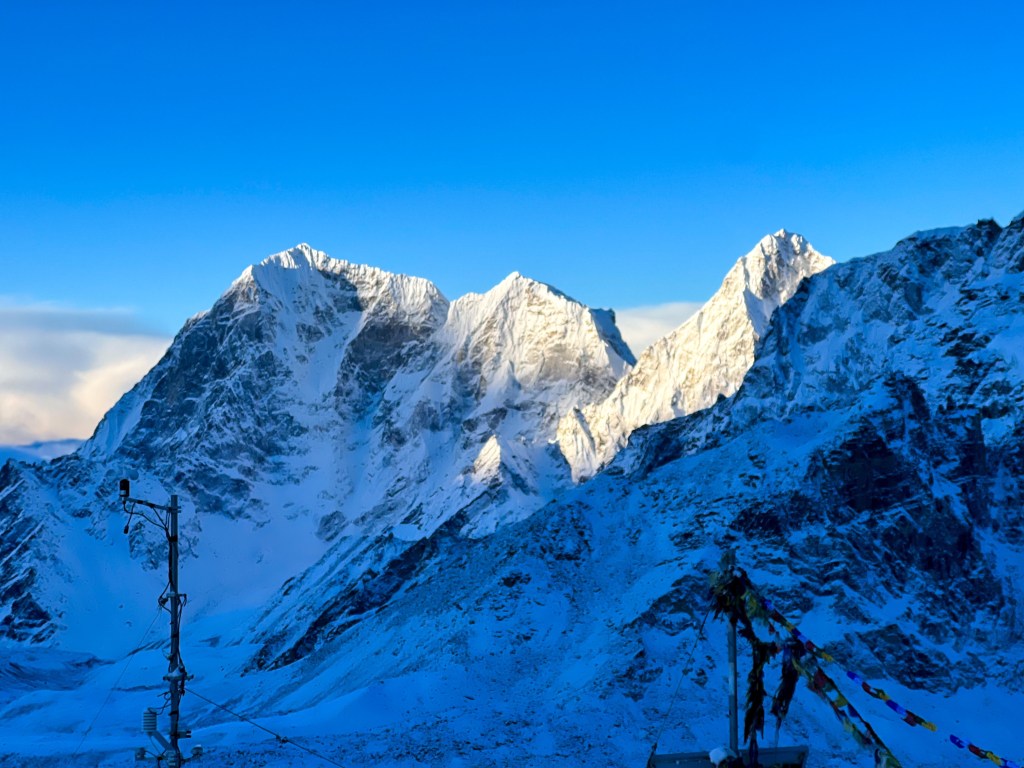
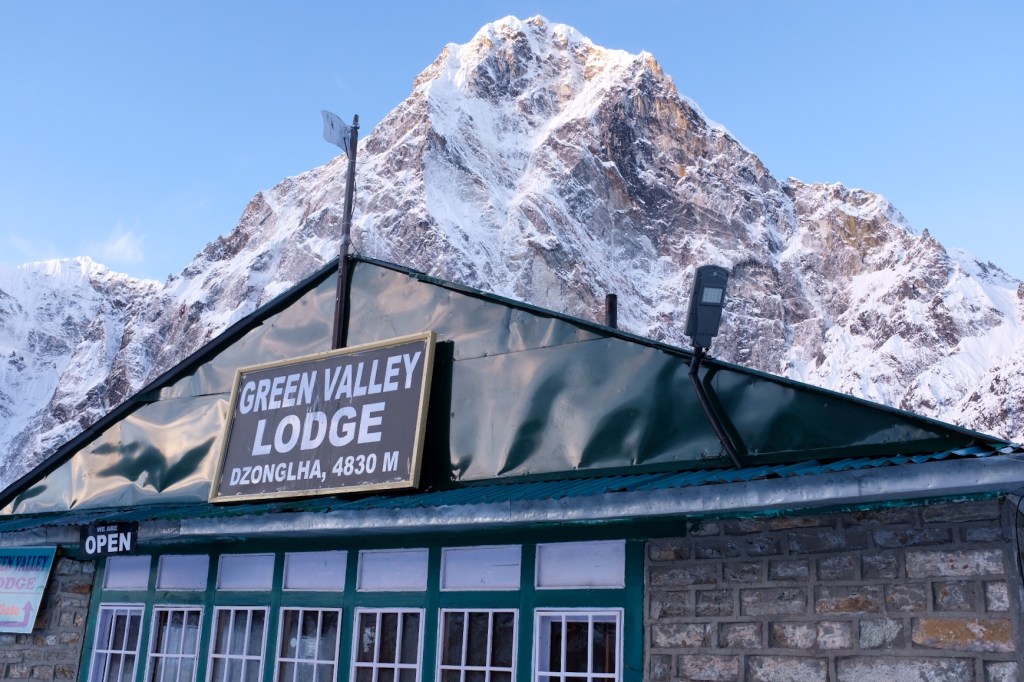
Day 9: Summiting Kalapatthar (5,650m.) and Trek from Gorakshep (5,170m.) -> Dzongla (4,620m.)
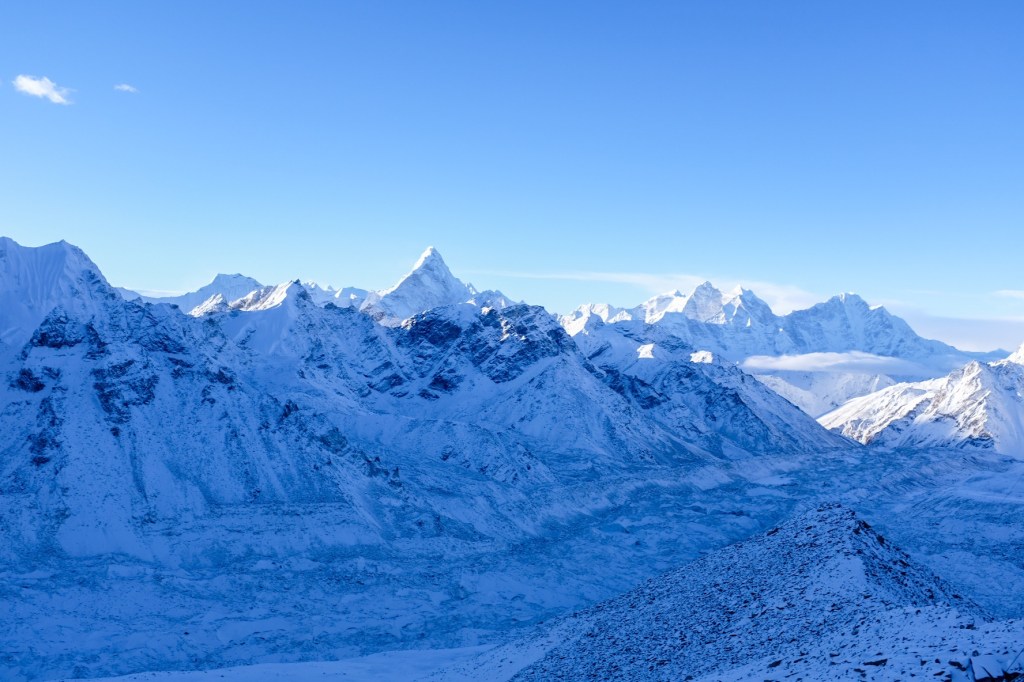
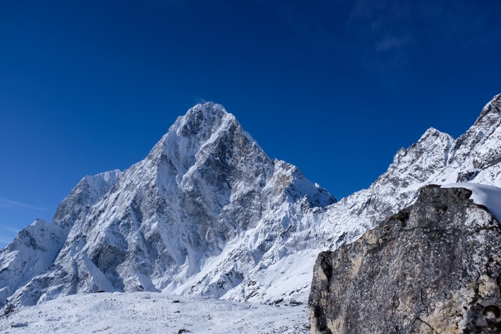
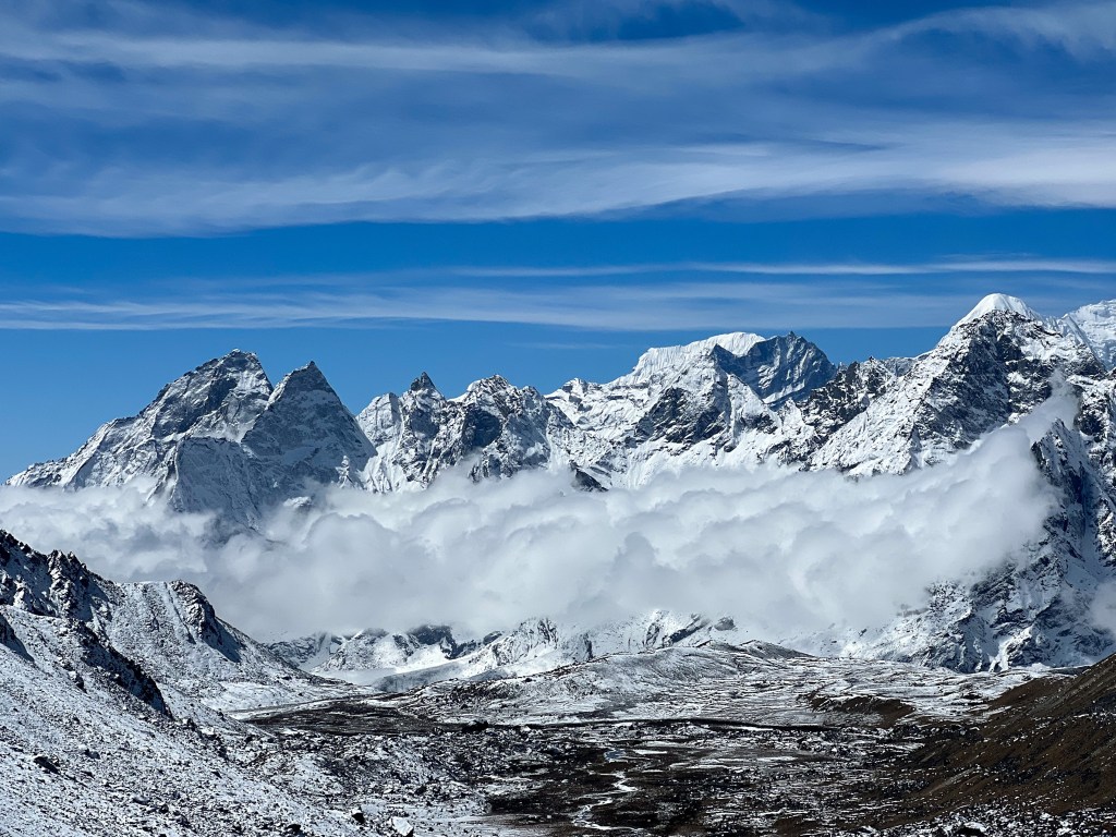
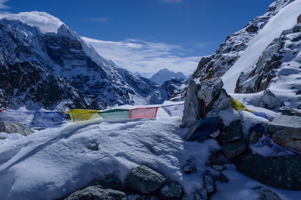
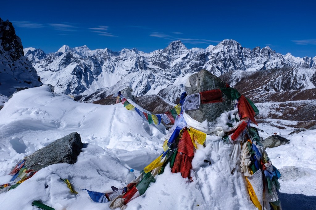
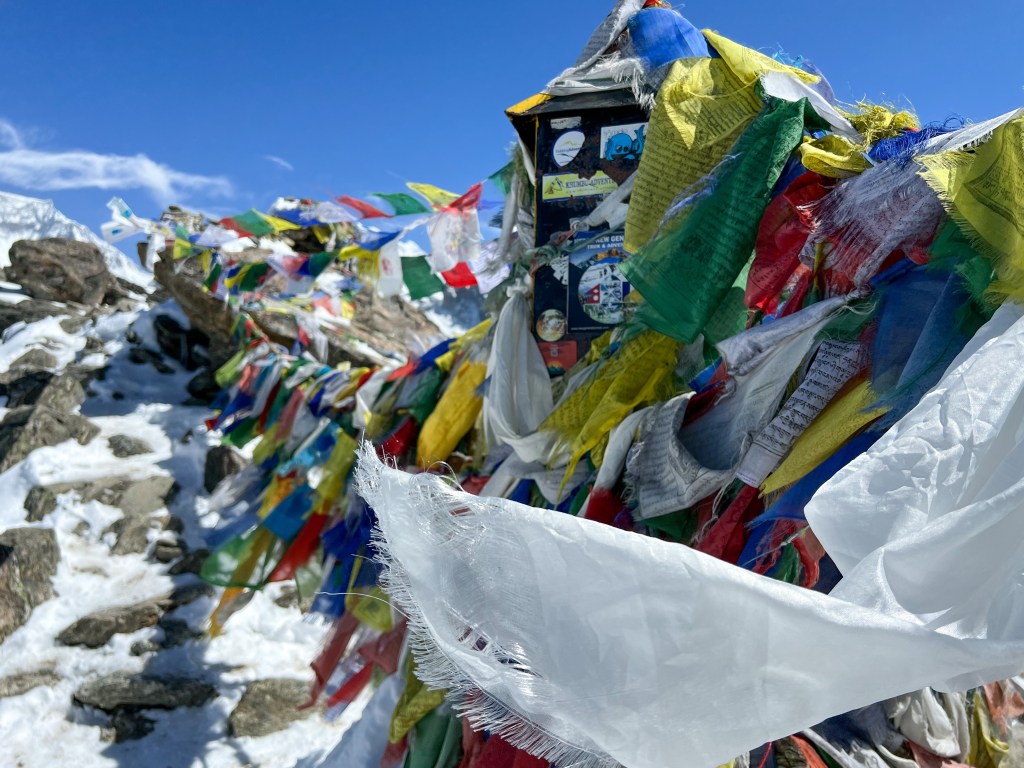
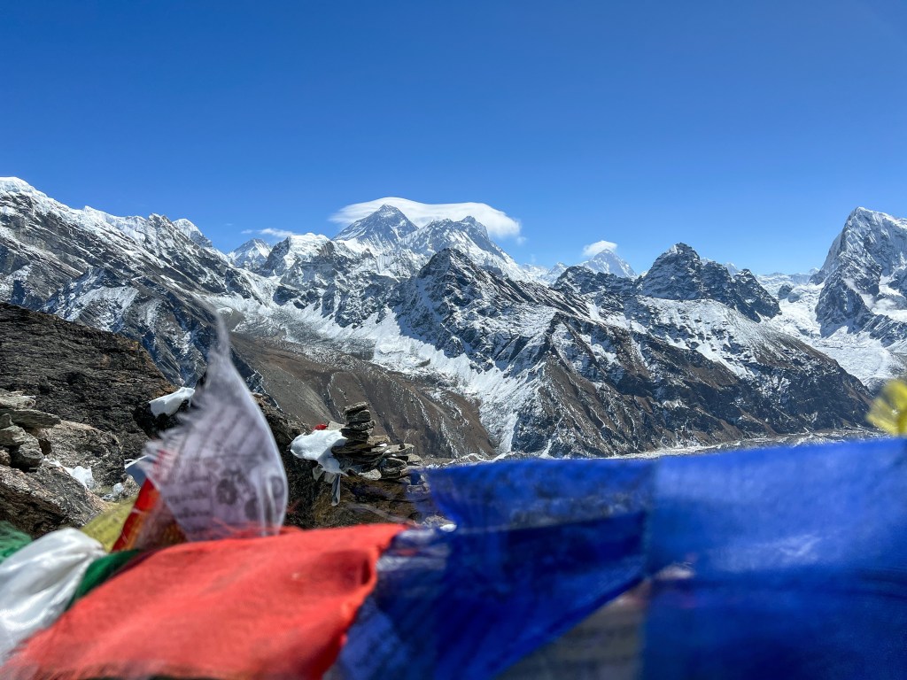
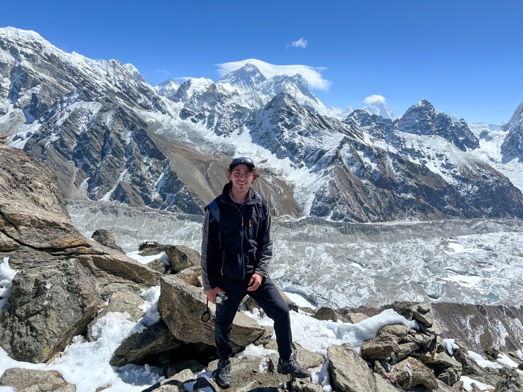
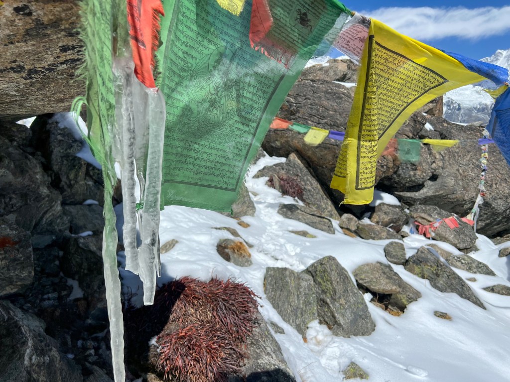
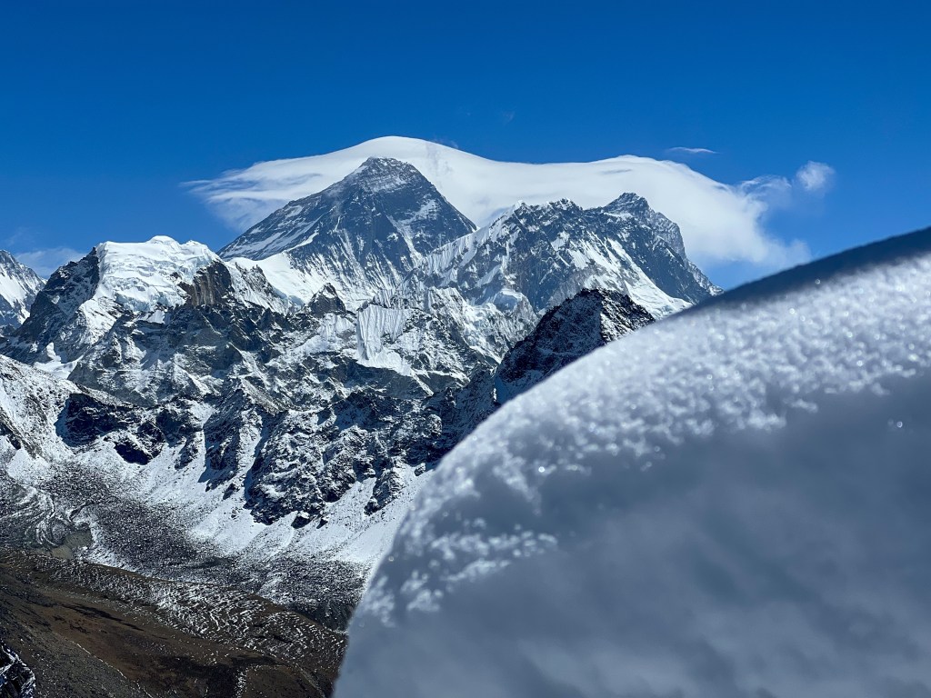
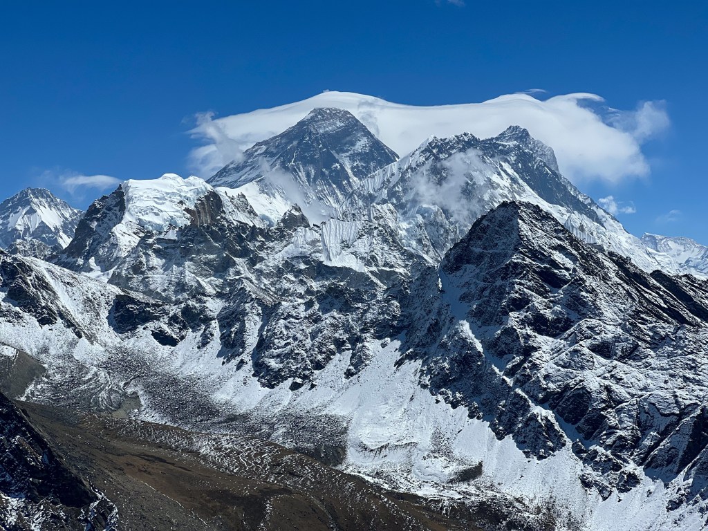
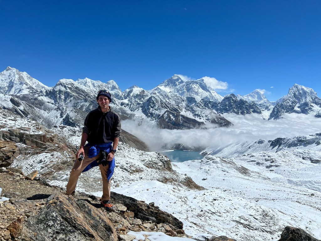
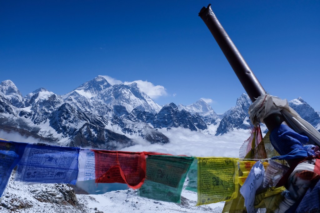
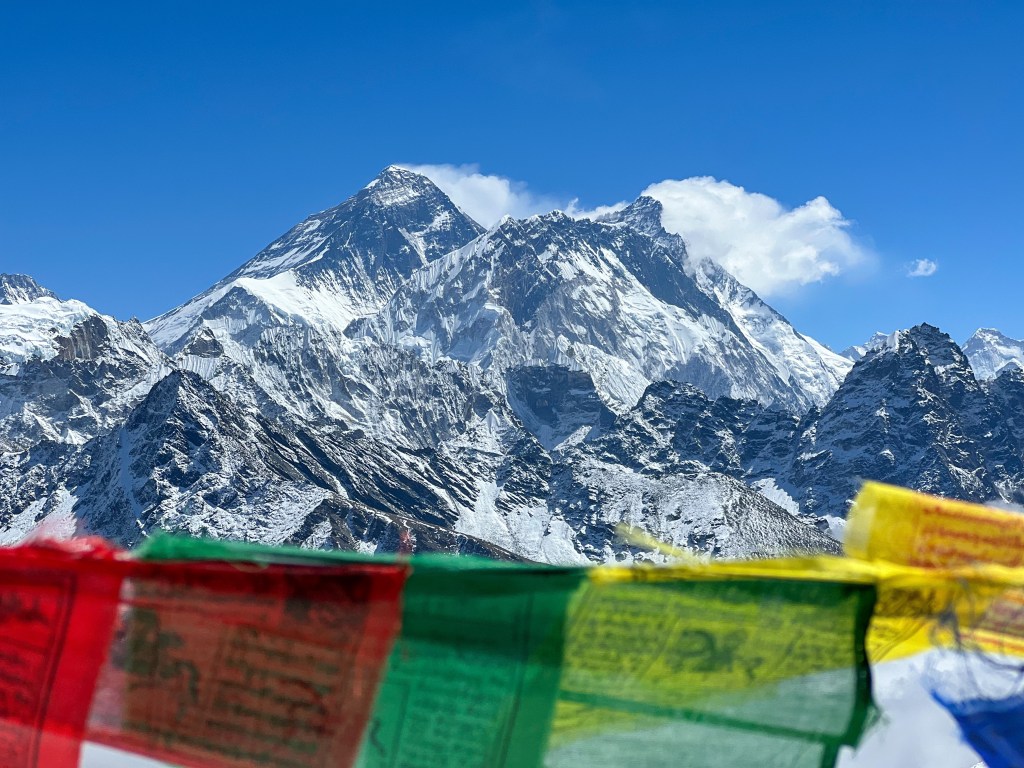
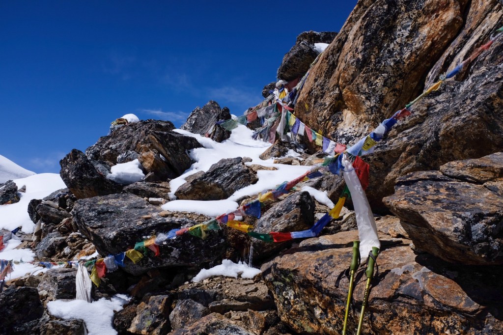
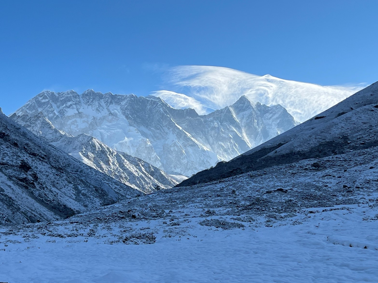
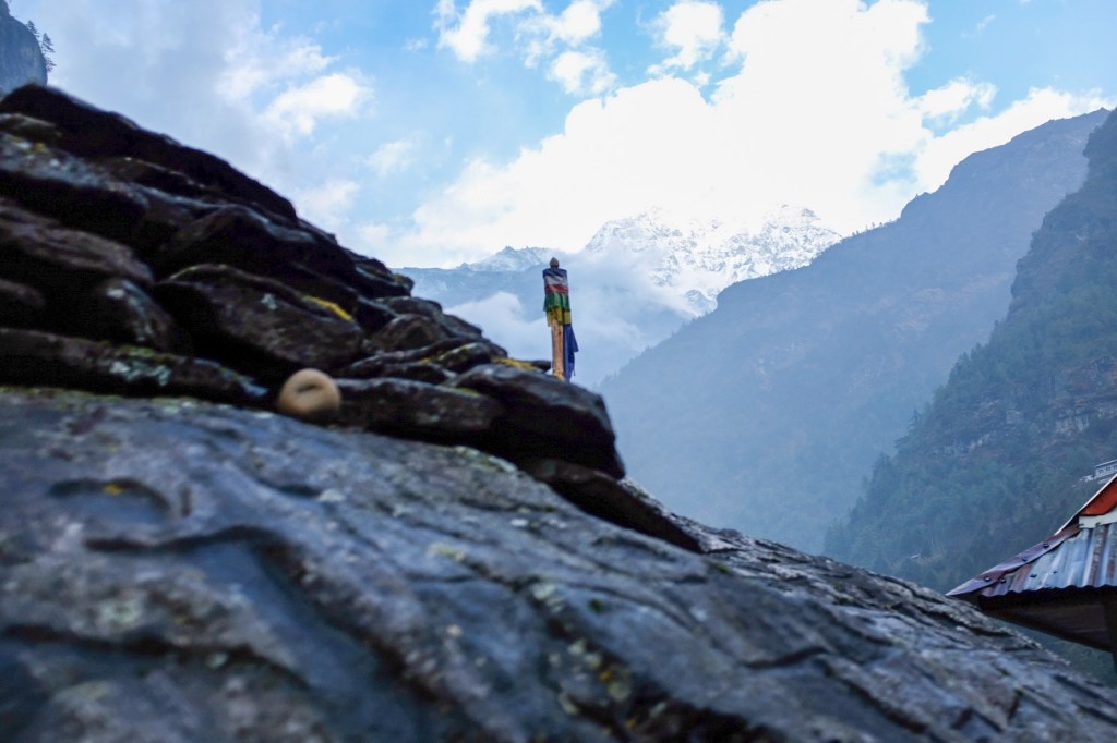
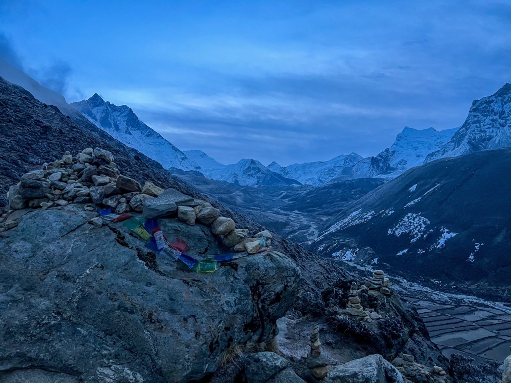
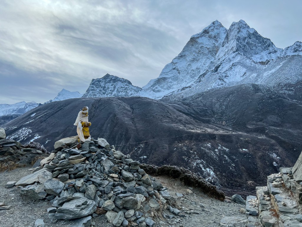
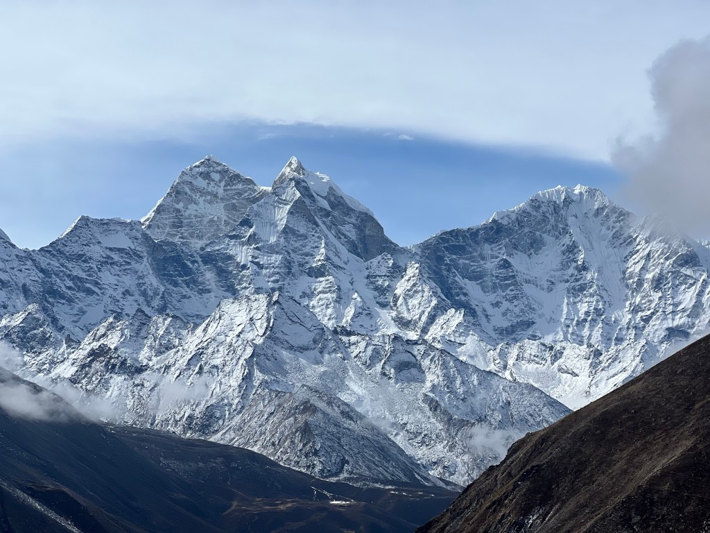
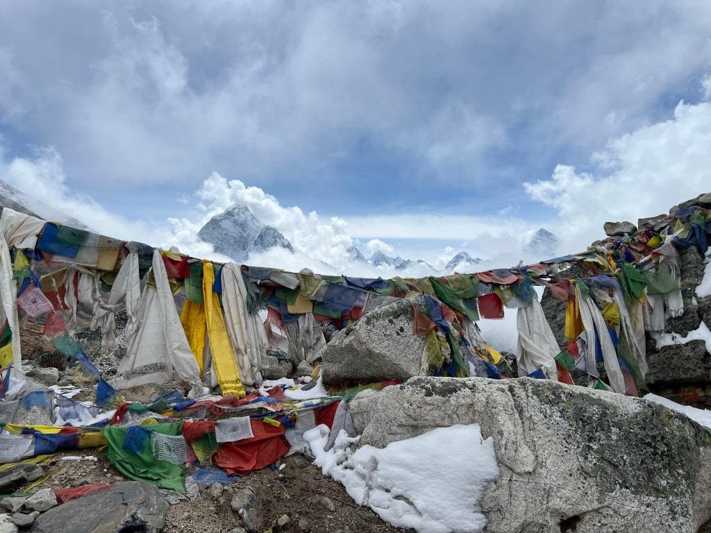
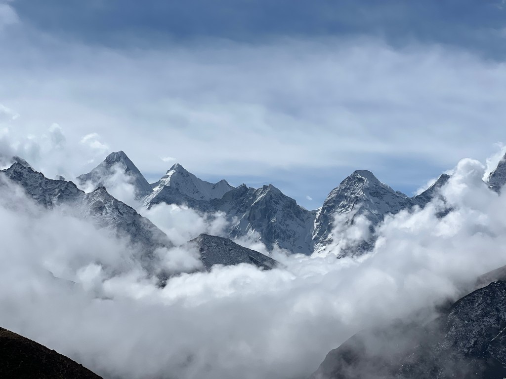
Kalapatthar is a famous landmark located on the south ridge of the Pumori mountain bearing down on Gorakshep. The ascent of Kalapatthar offers the most accessible closeup view of Everest, Nuptse, and Changtse, along with the northern flank and summit of Lhotse. The ascent begins at Gorakshep. After a brief dip to an ancient lake bed, the ascent makes its way up a series of steep switchbacks before levelling off somewhat as it traverses to the eastern side of the mountain. The trail then becomes steep once again until it reaches the wind-swept summit ridge. From there, a 80 meter scramble over boulders takes trekkers to the top, which is marked with prayer flags.
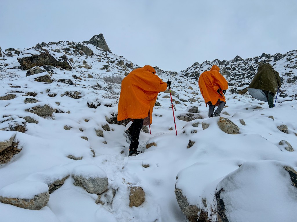
At 3:30am, Sophie and I were one of the first groups to leave Gorakshep for the Kalapatthar sunrise. Unfortunately, there was a significant obstacle we had to work around: the night before, a small snowstorm blew through the area, leaving about 6 inches of snow. To navigate this, the we and our fellow trekkers had the arduous task of clearing a new path through the snow with only small indents of former hikers to follow. This trailblazing in the dark, combined with the freezing temperatures (-5°F windchill), was time-consuming and very hard on the body. To make things more daunting, our work was regularly interrupted by thundering noises of small, far-off, avalanches. While Sophie and I knew the level of snowfall and our ascent could not translate to avalanche conditions where we were, it was still a daunting reminder of the dangers surrounding us. Over the first hour and a half, Sophie and I saw group after group stop or turn back, too exhausted or cold to continue. By the time we reached the 80 meter scramble to the top, we were the last one’s left, faced with constructing a clear path through the snow covered rocks to the peak. This is where our physical strength and mental fortitude (along with a few hand warmers) came in handy. Pressed for time, I quickly dug my feet into the snow, searching for a safe path up to the top. With techniques I learned from some guides I met a few days prior, I used my poles to test each step to ensure it was sturdy before meticulously putting the weight of my body onto snowy patch. Meter-by-meter, I traversed the rocks and reached the peak with 5 minutes to spare before the sunrise. I am not exaggerating when I say I have never been so cold in my life – but, armed with the warmth of my exertion, some adrenaline, and our hand warmers, we persevered, and were rewarded with some of the most spectacular views of our lives. Little did we know, this was just a taste of the views to come.
It was in this moment that I knew I found something special in these mountains – or that exploring the Himalayas helped discover something in me. While the cold, altitude, and hiking was immensely challenging, I felt nothing but joy in tackling and overcoming it. I don’t feel bothered by the harsh environment – instead, it makes me feel oddly at peace.
After about 45 minutes, when new batches of trekkers threatened to disrupt our tranquil privacy on the top of Kalapatthar, Sophie and I decided it was time to head back to Gorakshep, eat some breakfast, and warm up our extremities. We still had a long 6 hour trek to go before our day was done.
After taking a couple hours to recover, Sophie and I started the trek down to Dzongla, which would be the starting point for our 8 hour trek through the Cholu Pass the next day. How we had the energy to continue – I don’t know – but I’m grateful for whatever mental/physical support was there to help our weary bodies continue. Maybe it was the promise of a rest day in Gokyo after the pass? Or maybe it was the promise of snicker rolls and Dal Bhat at our next tea house (food was often a strong motivator).
Fortunately, the clear skies continued for most of the day and the downhill trot to Dughla was a pleasant treat after so many days of uphill battles. We were officially acclimatized to 5,650 meters, and we could feel the newfound strength in our bodies.
On our hike down to Drunghla, we met an American couple, David (an ER doctor) and Tran (a MRI tech). When we first them, they seemed a bit drained – initially planning on doing the Cholu Pass to Gokyo, they were beginning to second-10 their itinerary, contemplating whether or not it was time to head back. As we were chatting with them, intentionally or not, Sophie and I began talking up how incredible we heard the Cholu Pass and Gokyo was – “you have to come with us!” we said, “its only a couple more hard days and the rewards had to be worth it”, “you already did the hard part of the trek! Now you can enjoy the fruits of your high-altitude acclimatization”. I think, in part, this was Sophie and me trying to hype our own exhausted bodies up after 9 long days, but somehow, we convinced David and Tran to come have lunch with us where we could discuss it further.
A few coffees and a couple plates of fried potatoes later, we convinced them to join us to the Cholu Pass. Together, we finished the last couple hours of the hike to Dunghla and rest up for the long day tomorrow.
Later on in our trek, after we became quite close, they told us how happy they were that we pushed them to continue – that meant a lot to me.
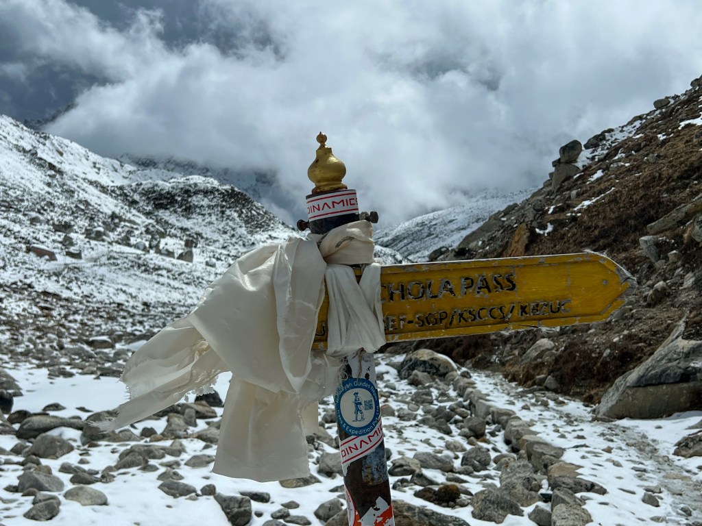
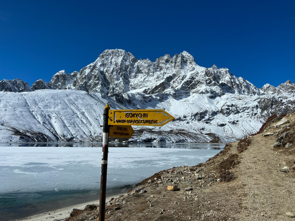
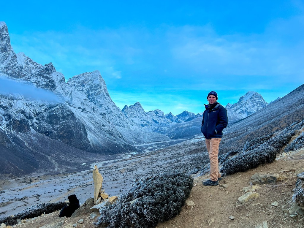
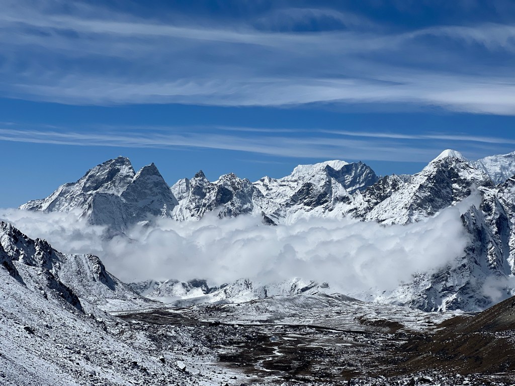
Day 10: Dzongla (4,830m.) -> Chola Pass Peak (5,420m.) -> Gokyo (4,750m.)
Another early morning, we woke up at 6:00, ate breakfast, and was out the door at 6:30 to hike the Chola Pass
The 3 Passes: Kongma La, Cho La, and Renjo La, are mountain passes that connect India & Nepal to China’s Tibet Autonomous region. Mountain passes are traditionally known as navigable routes through mountain ranges. Throughout history, these passes played an important role in migration, trade and settlement between Tibet, India, and Nepal. Nowadays, the passes are still used as trade routes, but are most commonly used as peaks for trekkers to get mountain view’s found on 2 sides of a mountain range.
Sophie and I initially planned to do all three of the passes, but decided against doing the first one, Kongma La pass, due to unsafe weather conditions. So, by the time we got to Cho La pass, we were sufficiently excited to experience the dual range view it would offer. Good thing too, because this day would be one of the most challenging treks yet.
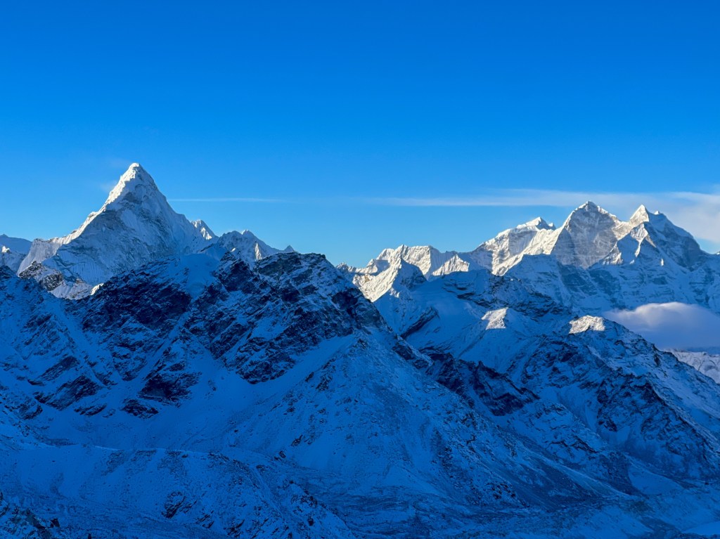
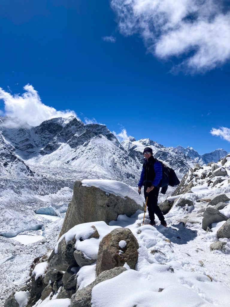
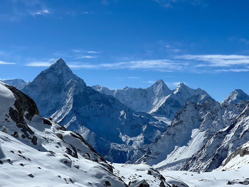
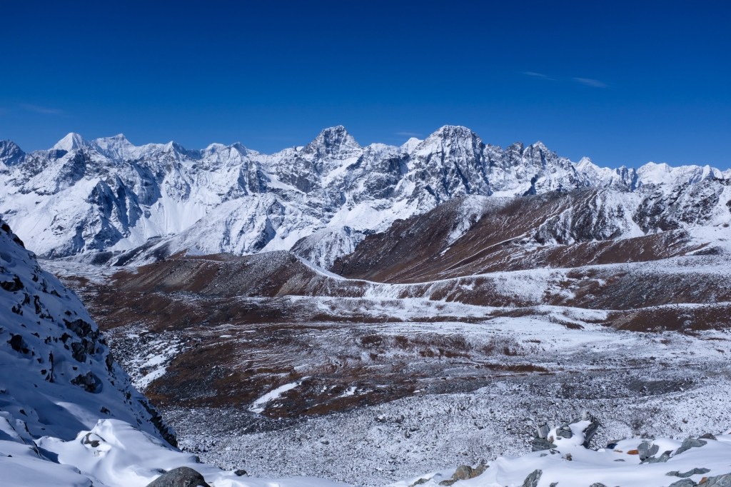
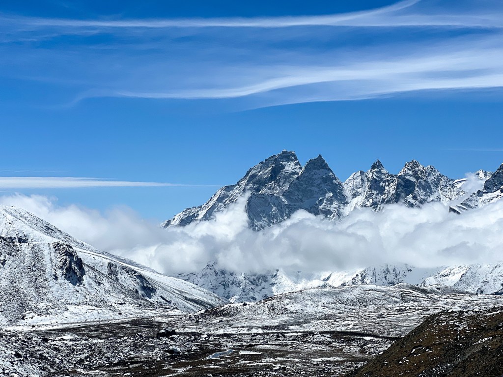
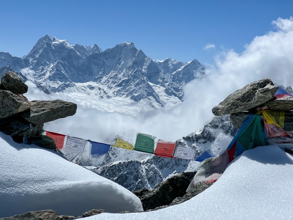
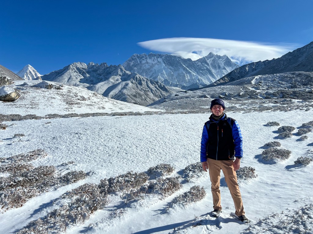
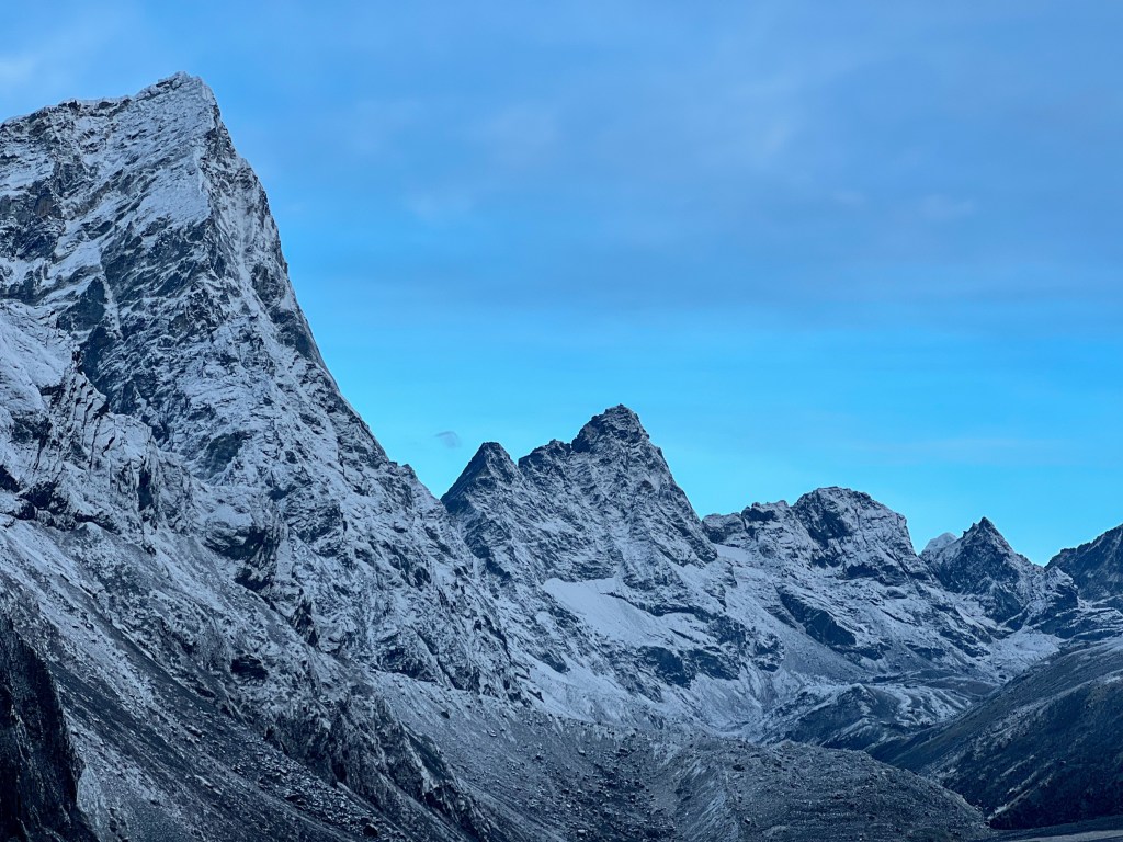
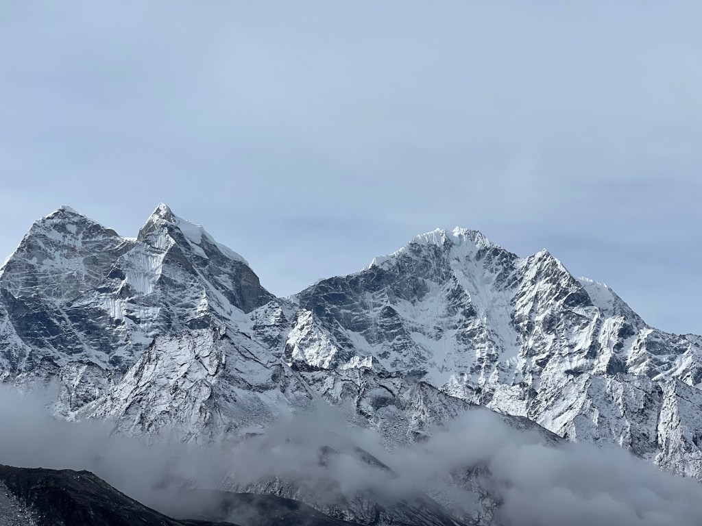
After a beautiful trek over the glacial moraines and rocks and a slightly less beautiful 600 meter climb to the Cho La peak, we were welcomed by spectacular views of Gokyo Valley, Makalu, and Lhotse.
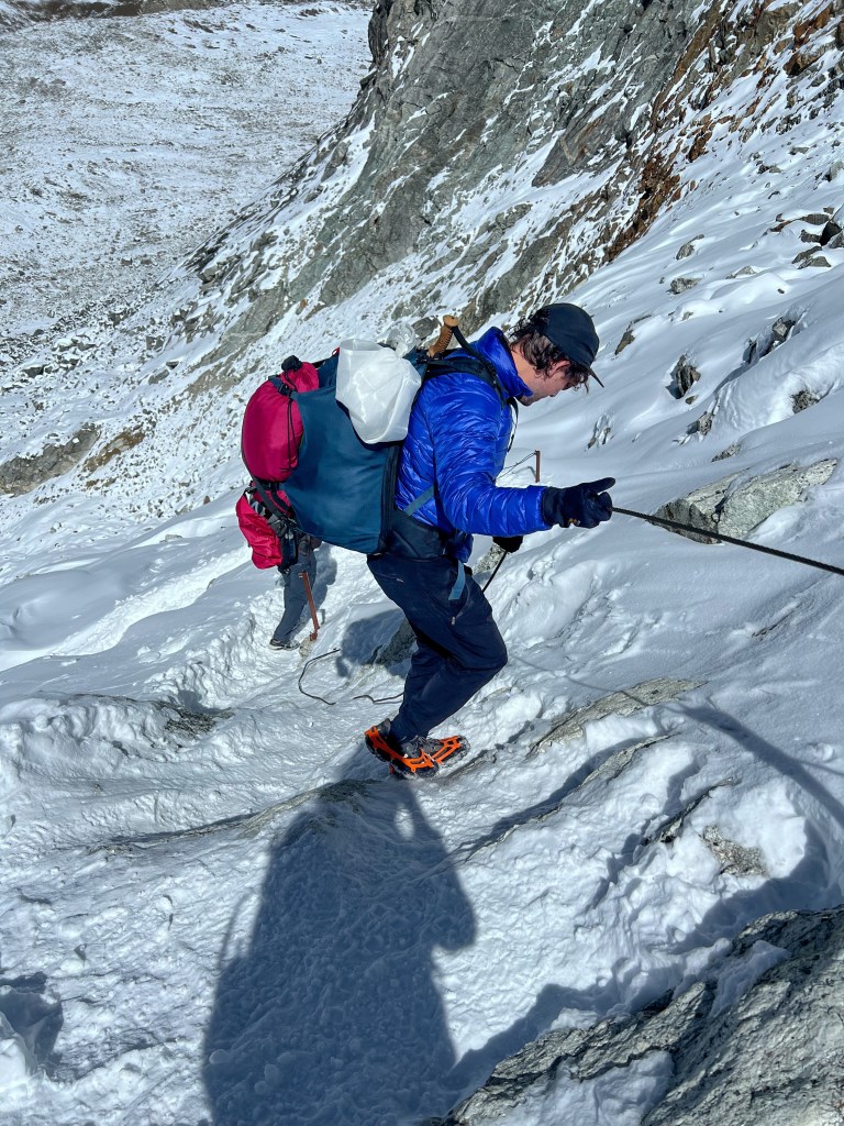
Trekking down from the peak was a lot easier, but still a bit tenuous as we managed steal ropes that helped us manage the icy path down.
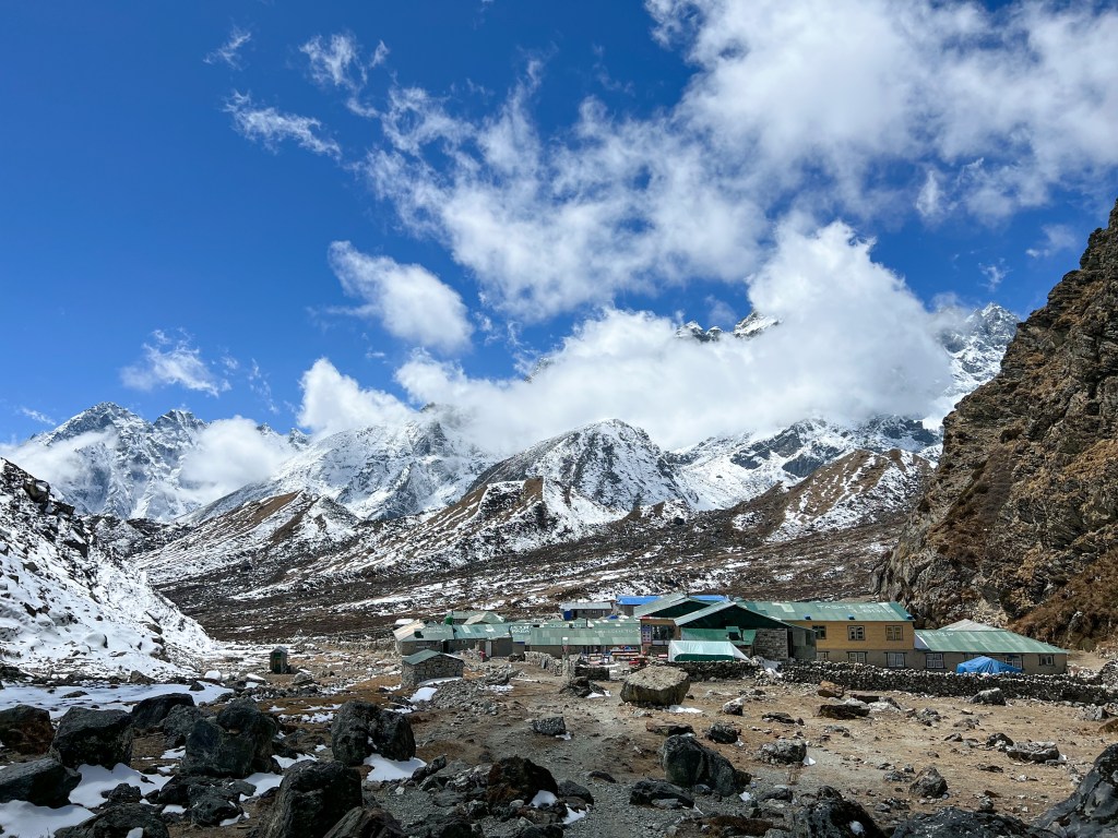
After about 6 hours, we finally reached our first destination, Thagnak, where we grabbed a quick lunch of vegetable fried potatoes and sweet black tea.
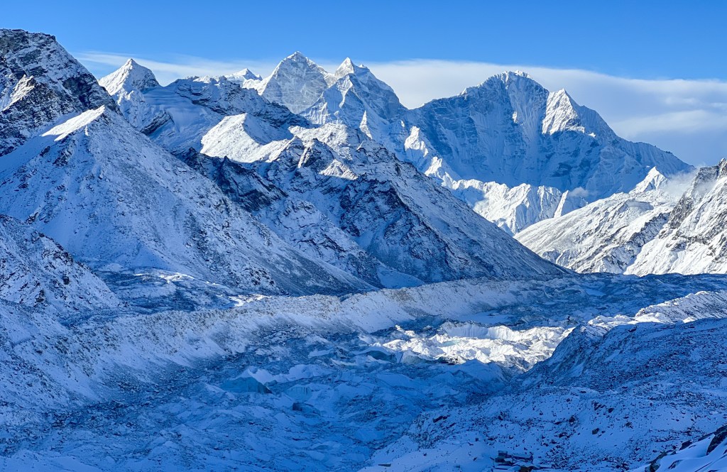
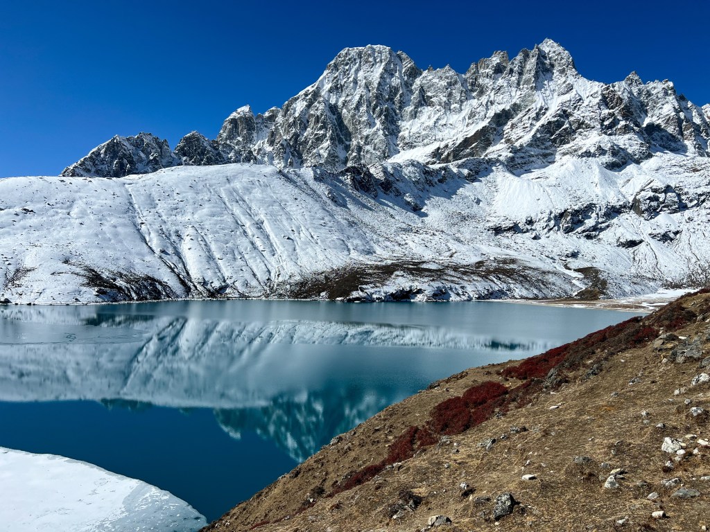
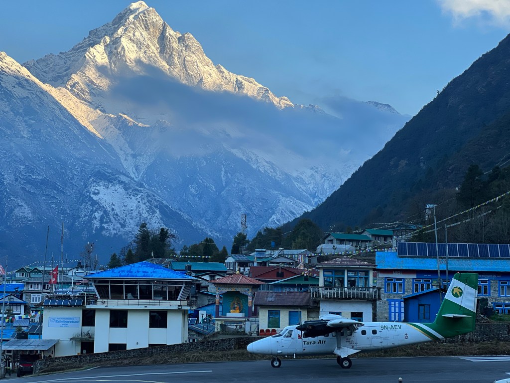
Refreshed, we finished the last 2 hours of our trek to Gokyo, traversing yet another glacier.
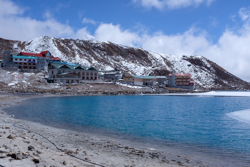
Relieved to arrive in Gokyo, we dropped off our heavy gear at the teahouse and rushed to the dining hall to enjoy some tea and pastries. We finally reached our rest day!
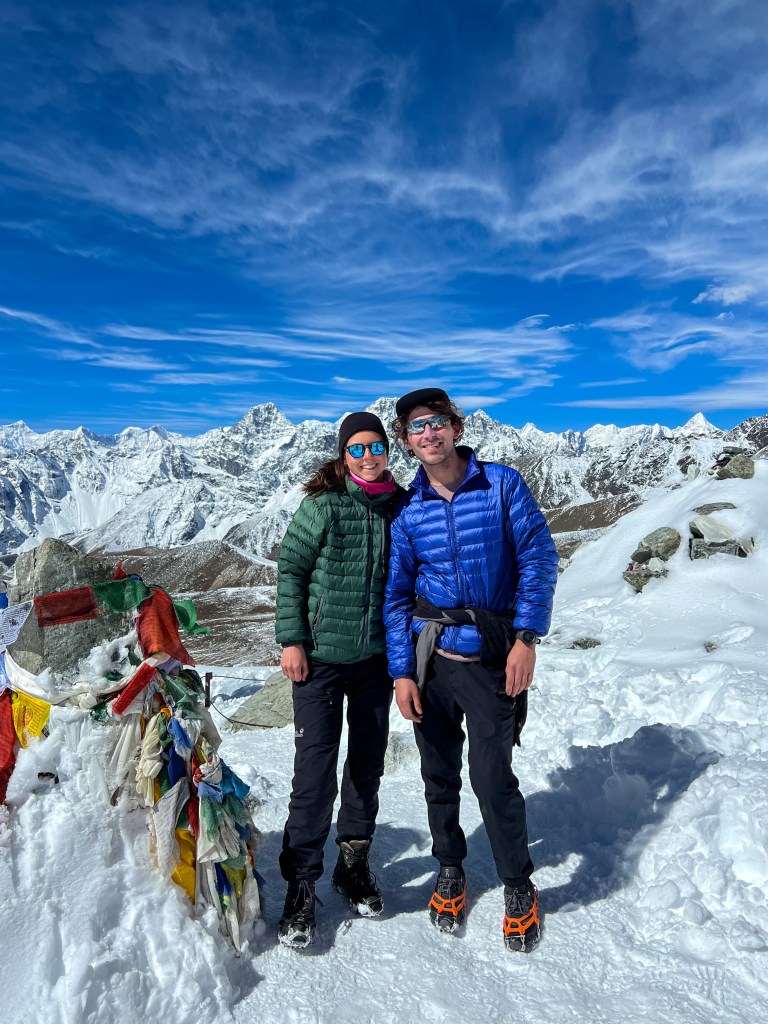
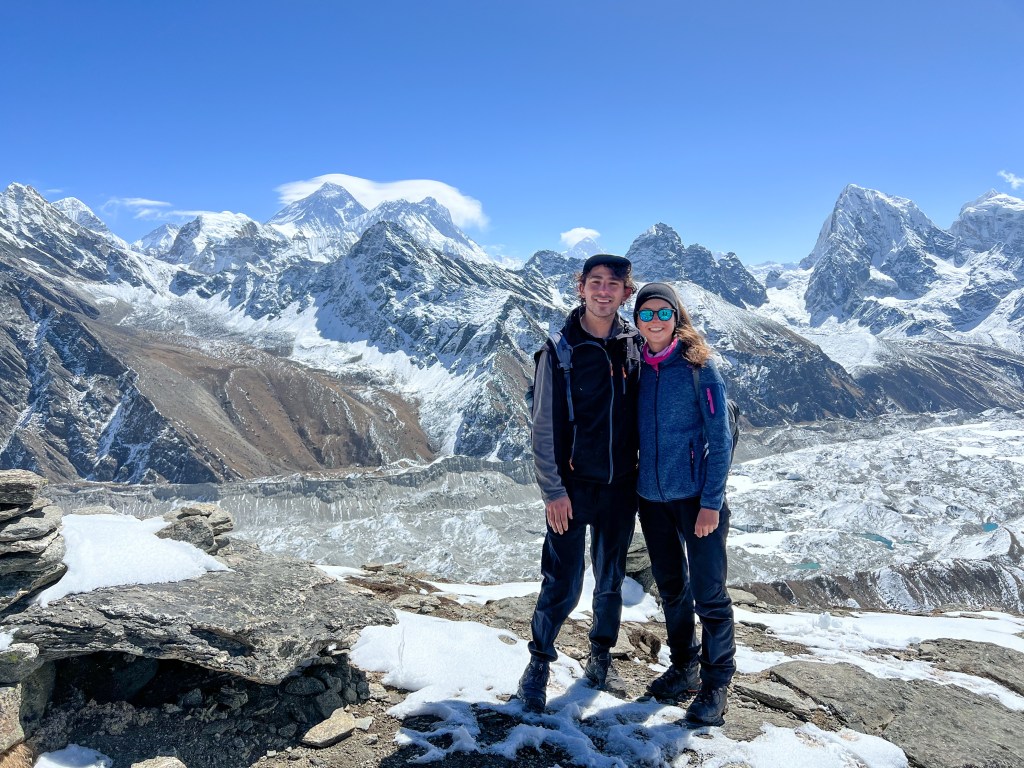
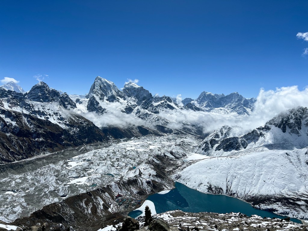
Day 11: Summiting Gokyo Ri (5,435m.)
We decided to sleep in the next morning (to 7:00am) and have a slow and easygoing morning – we would have a large breakfast and then head on a leisurely stroll up 600 meters to the peak of Gokyo Ri. While this does not sound like a traditional rest day, it was a refreshing jaunt compared to our past several days.
While not a traditionally easy ascent, the blue skies and clear view of Everest and his neighbors made the 3-hour hike a joy.
In the afternoon, we explored the small town and met up for tea with our American friends, David & Van, who just arrived from Thagnak.
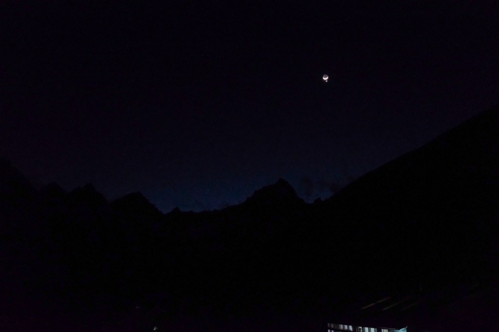
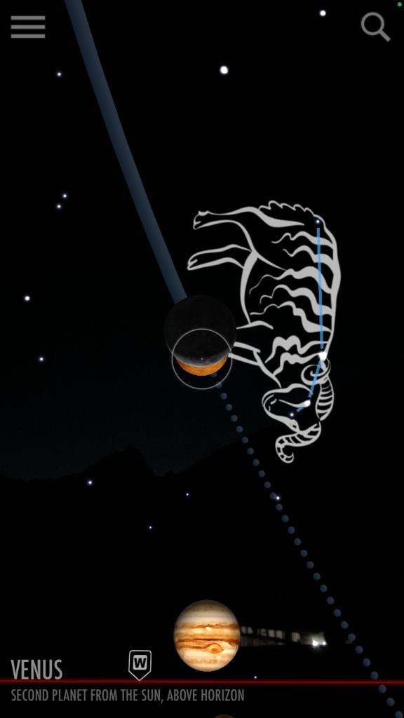
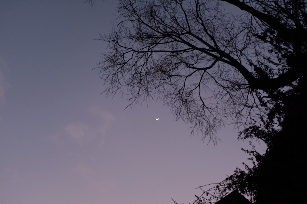
And in the evening, we watched the sun set over the mountains and got a glimpse of the moon and Venus.
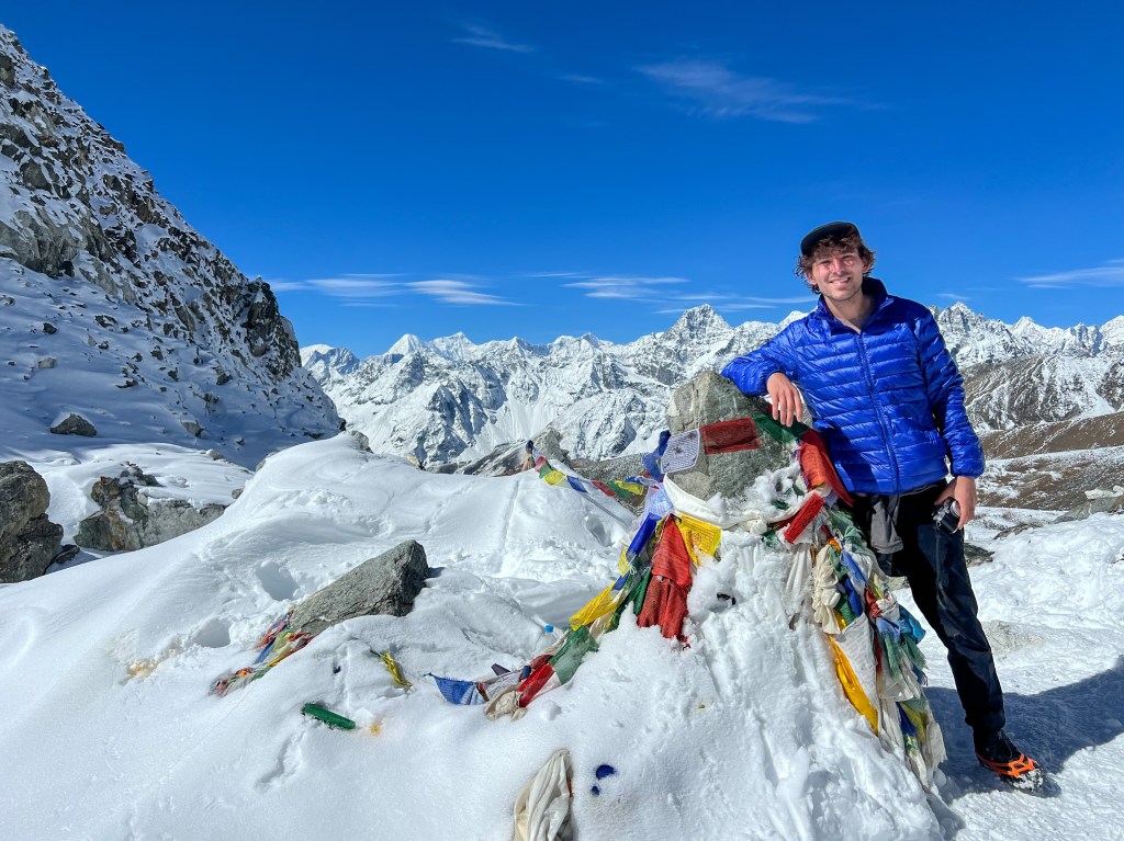
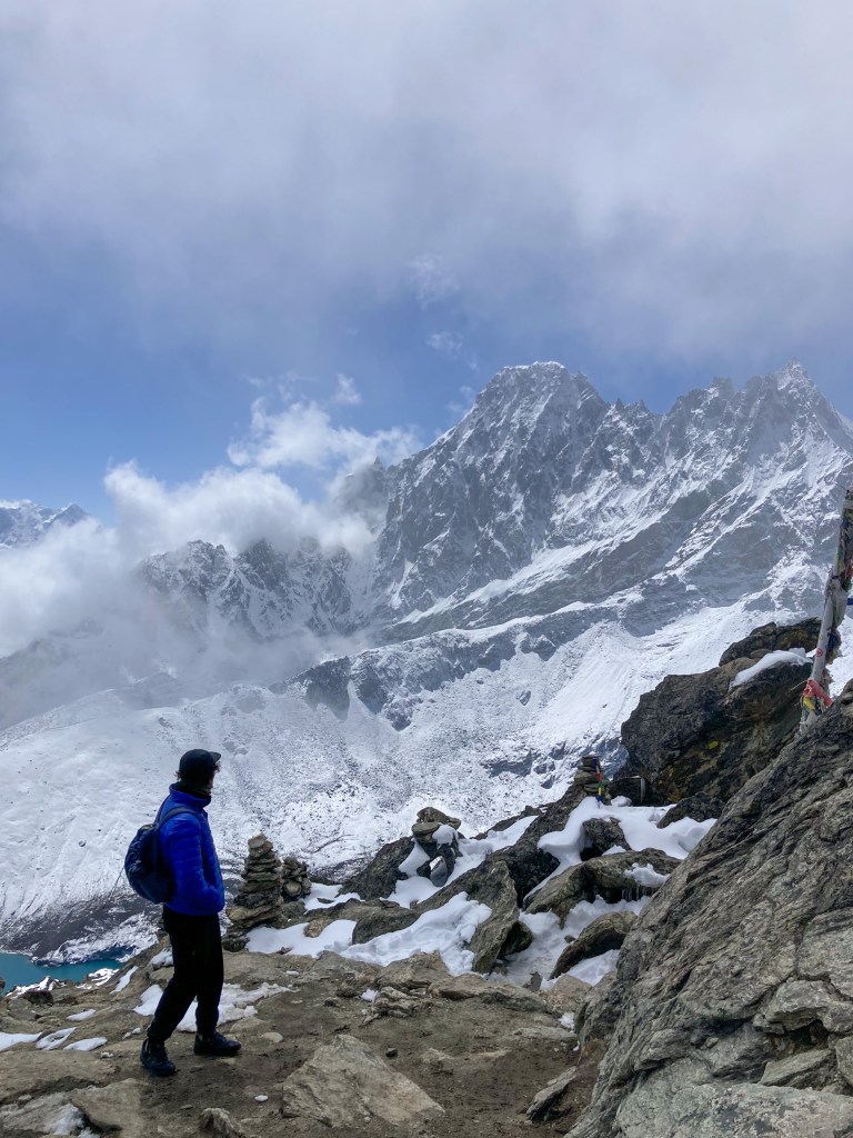
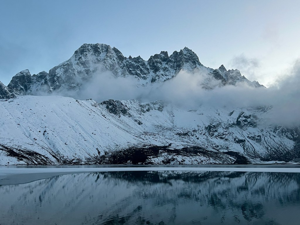
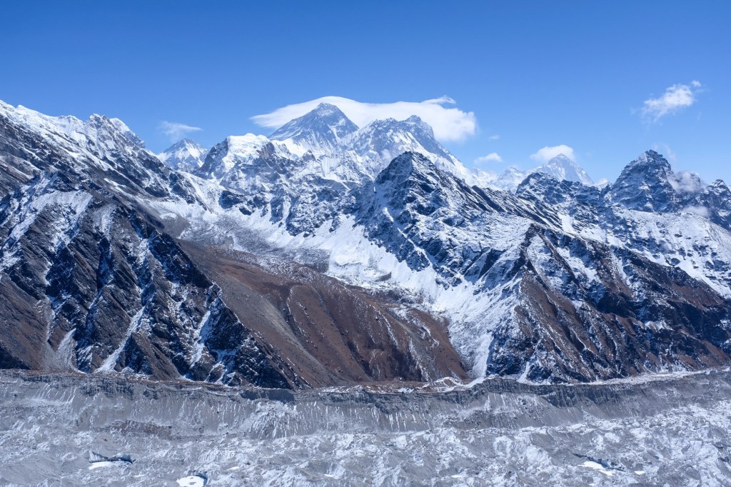
Day 12: Gokyo (4,750m.) -> Renjo La Pass (5,360m.) -> Lunghden (4,380m.)
Recharged and re-motivated from our rest day, Sophie and I set off for the last of our challenging ascents, another 600 meter climb from Gokyo to Renjo La peak – the only difference being when we trekked the 600 meter ascent to Gokyo Ri, we carried our day packs; today, it was with our 15kg gear.
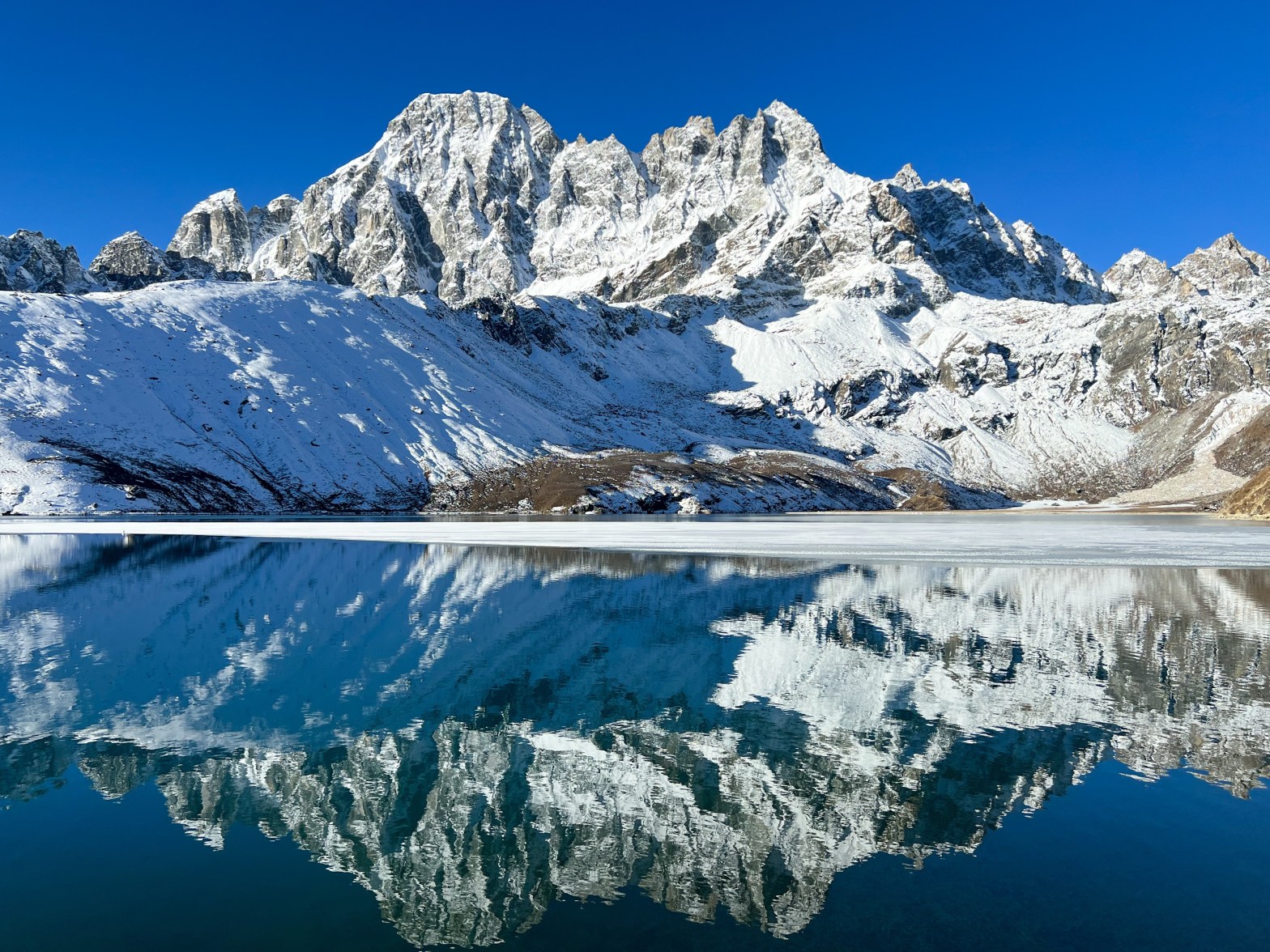
Another 8 hour day of trekking, we were a bit weary of the value of doing yet another pass, but at the end of the day, we were rewarded with what was both of our favorite views of the region.
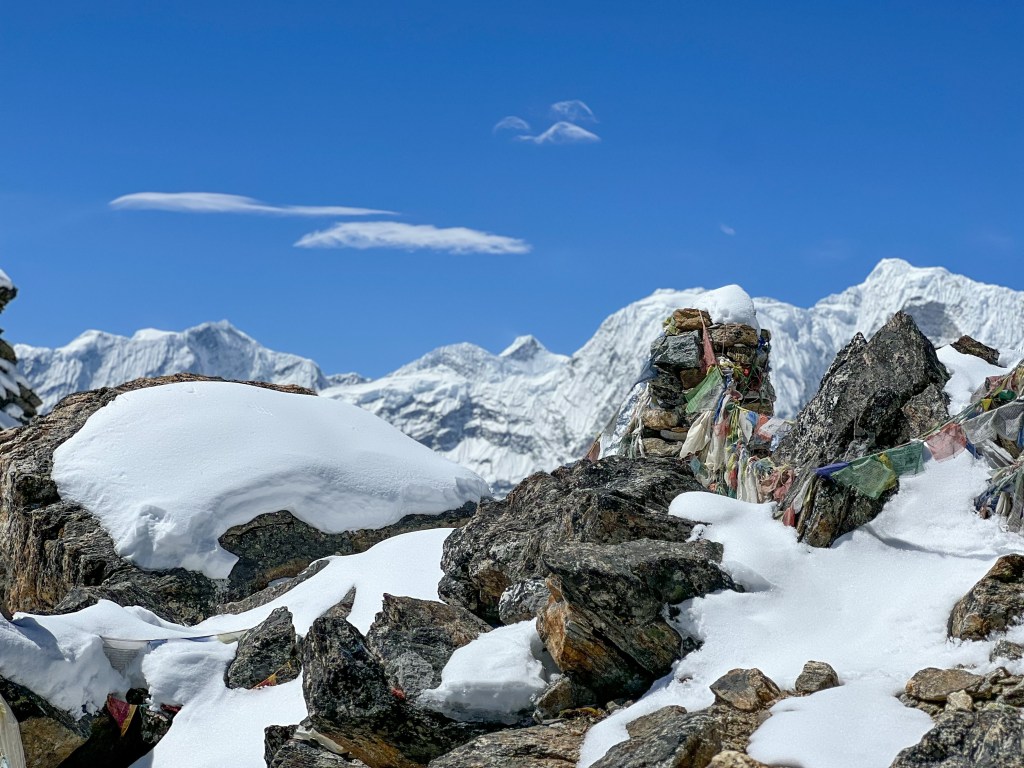
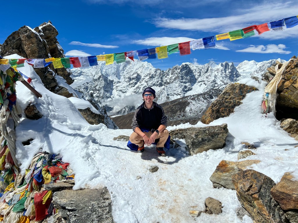
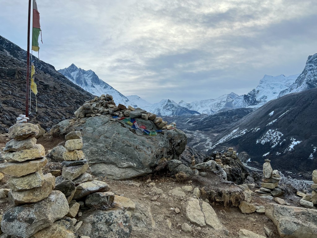
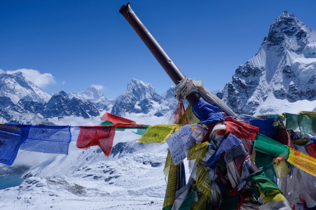
At the Renjo La Pass Peak-
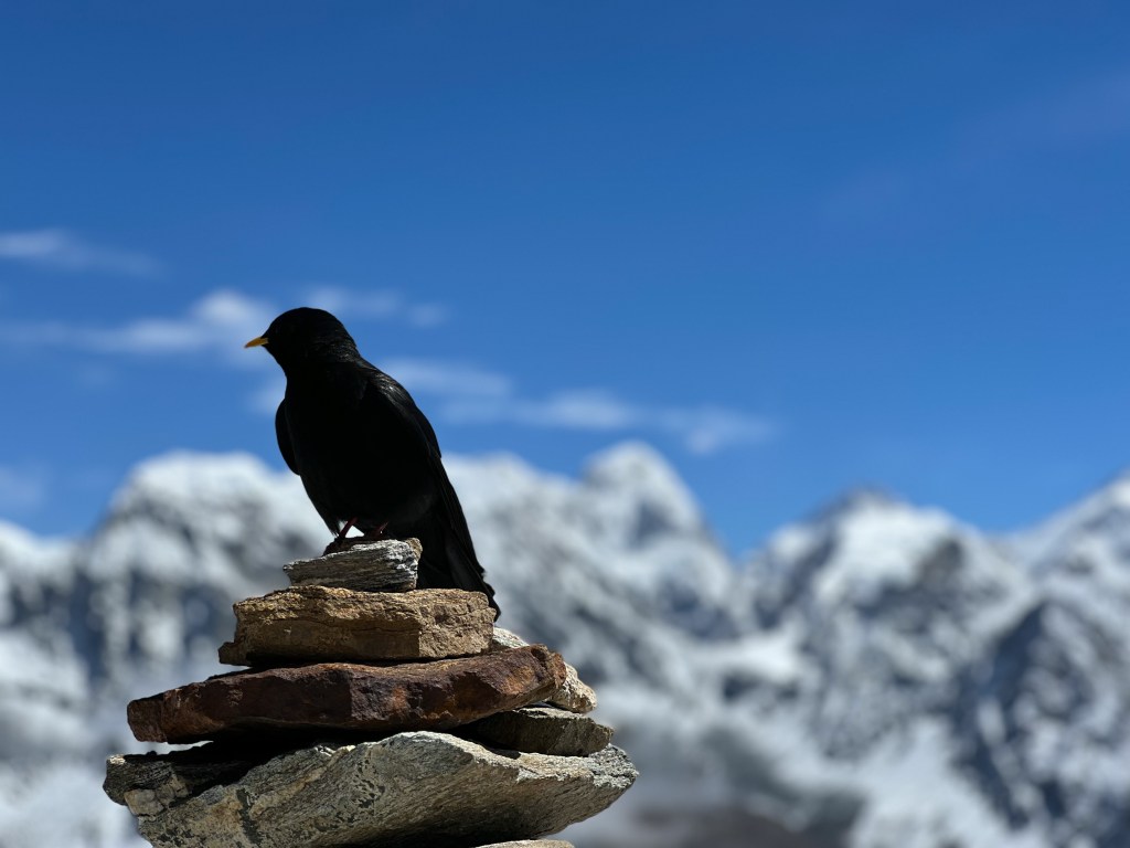
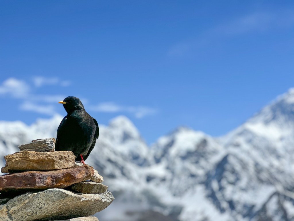
And as we snacked at the top of the peak on cinnamon rolls, chapati with egg, and Tibetan bread, like in any other region of the world, birds came to welcome us and beg for a portion of our food.
Finally, we made our descent off of the pass and traversed our way to our final destination of the day, a small town called Lunghden.
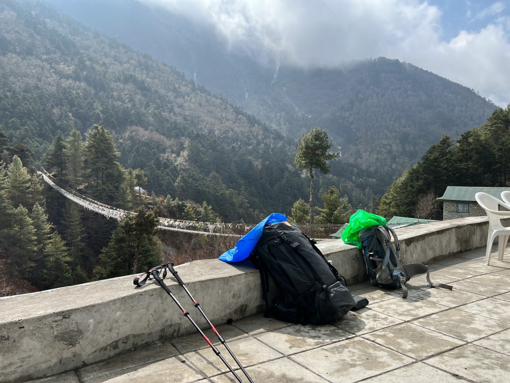
At the end of the day, weary but satisfied, we said goodbye to the wonderful ascents and peaks that welcomed us the past 5 days, and prepared for the 40 kilometer journey back to Lukla that awaited us over the next two days.
Day 13: Lunghden (4,380m.) -> Namche Bazaar (3,440m.)
We began the walk down bright and early, knowing we had a lot of ground to cover. On our 6 hour hike down to Namche, we got another set of eyes on the wonderful Mountain View’s that welcomed us during the first few days of the trek.
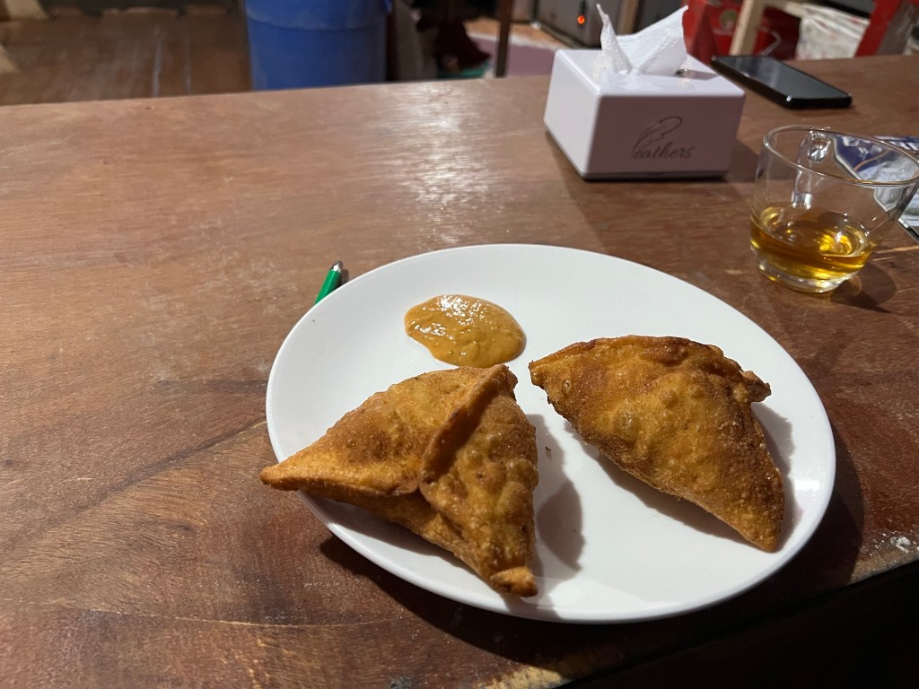
Back in Namche, we rushed back to our favorite samosa spot and filled our mouths with fried potato and chili sauce.
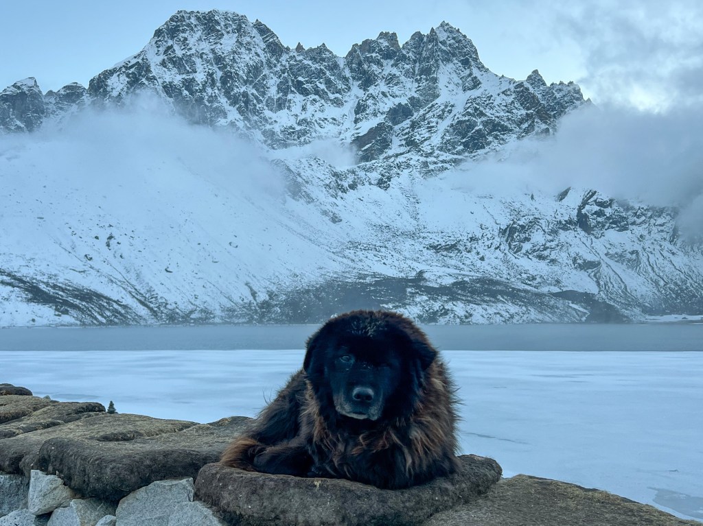
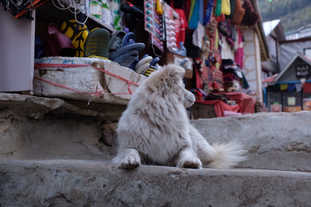
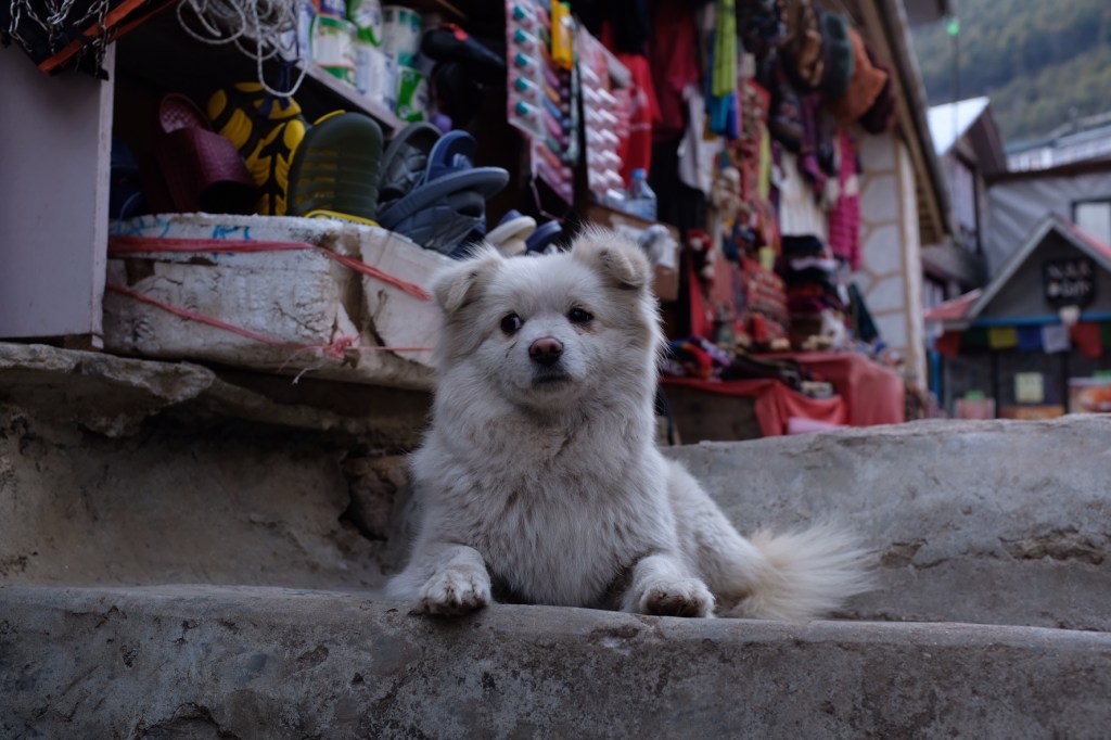
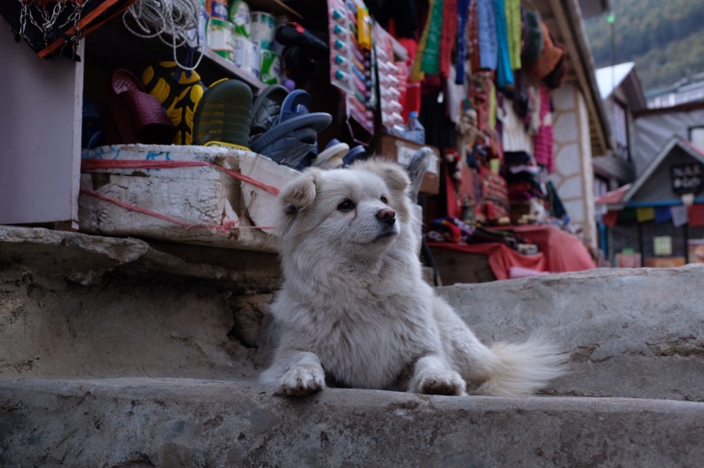
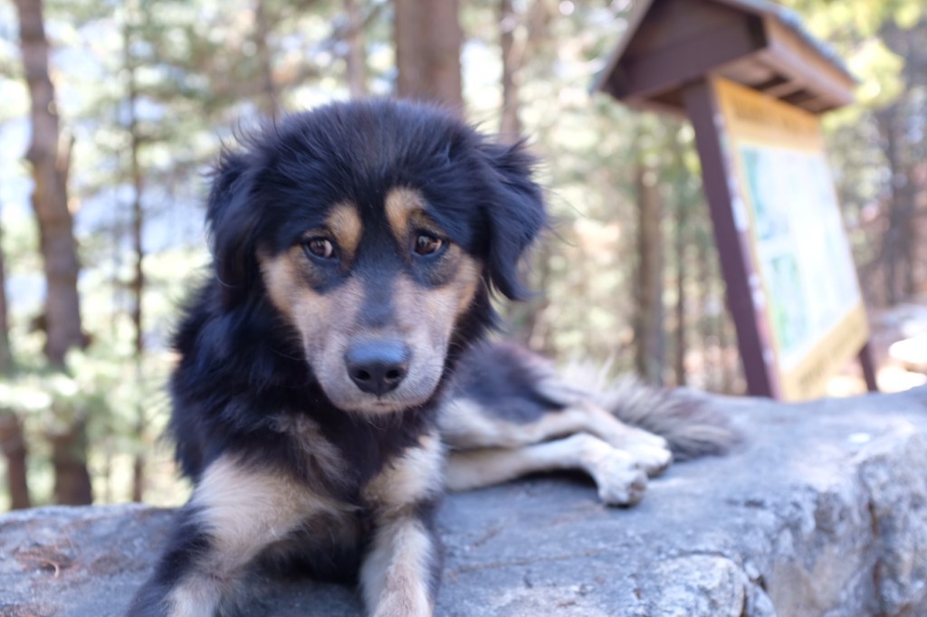
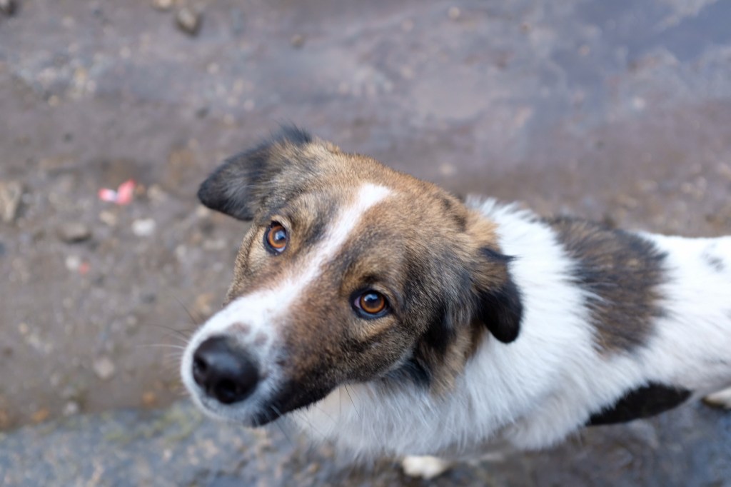
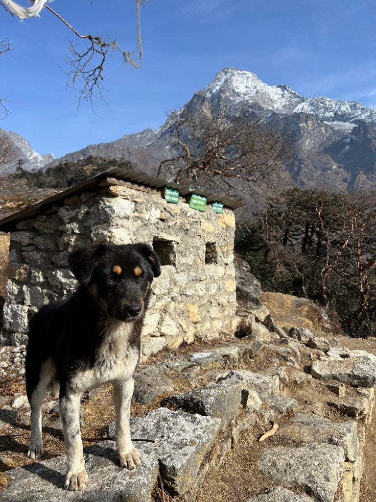
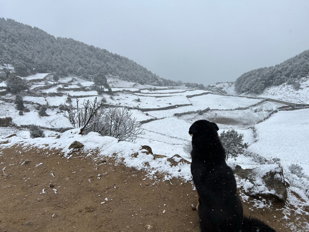
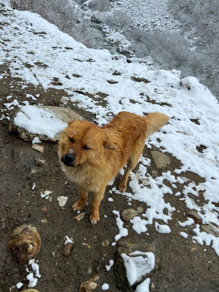
And before heading to bed we caught another glimpse of the moon and met a very photogenic dog!
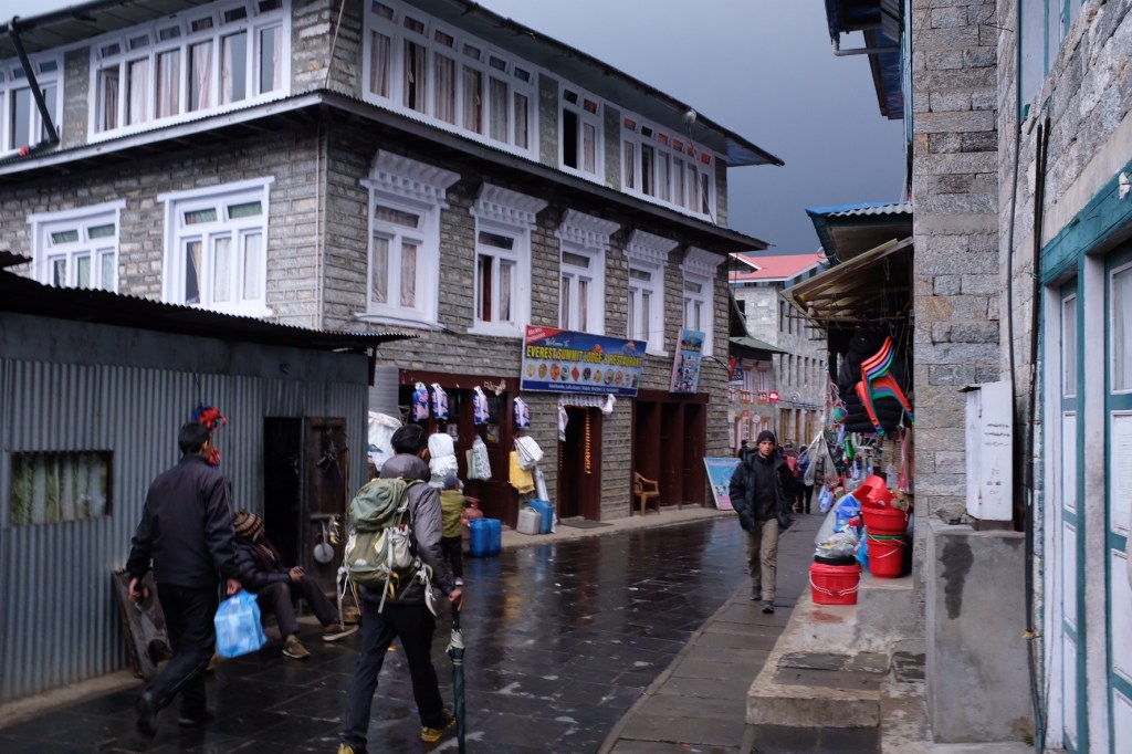
Day 14: Namche (3,440m.) -> Lukla (2,830m.)
Despite having another long day ahead of us, Sophie and I decided to take a slow start to our morning and enjoy Namche a bit more before we embarked on the last leg of our journey.
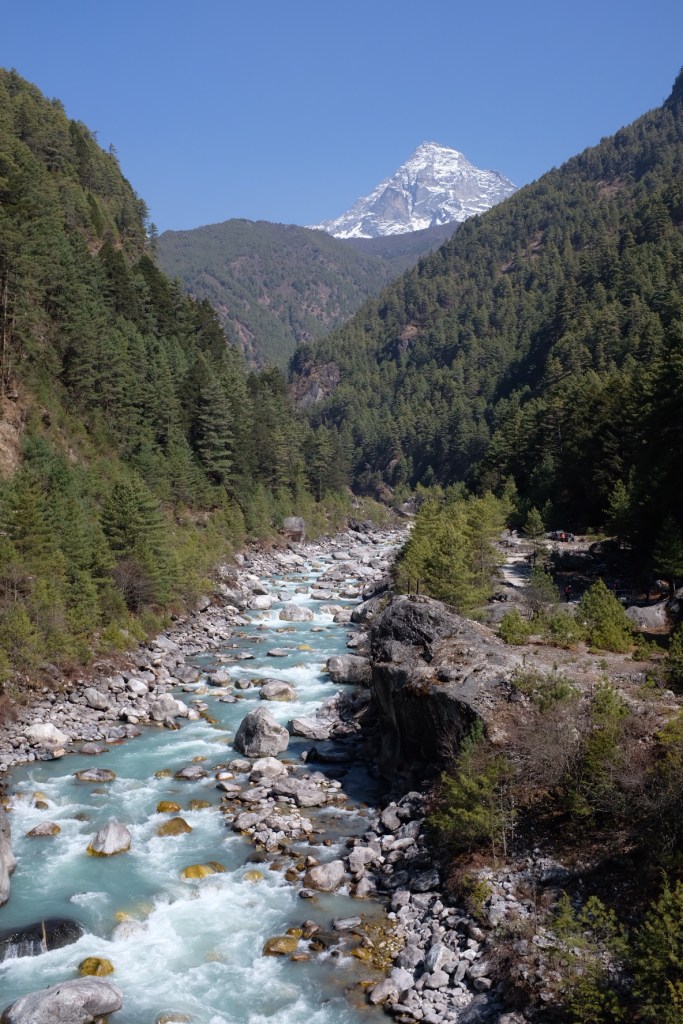
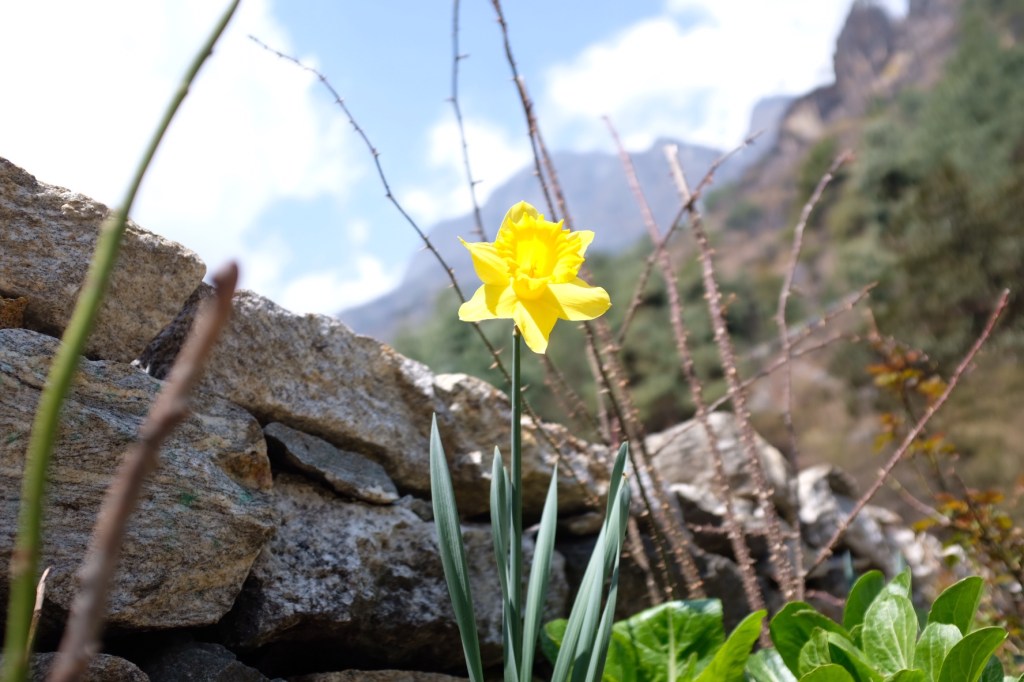
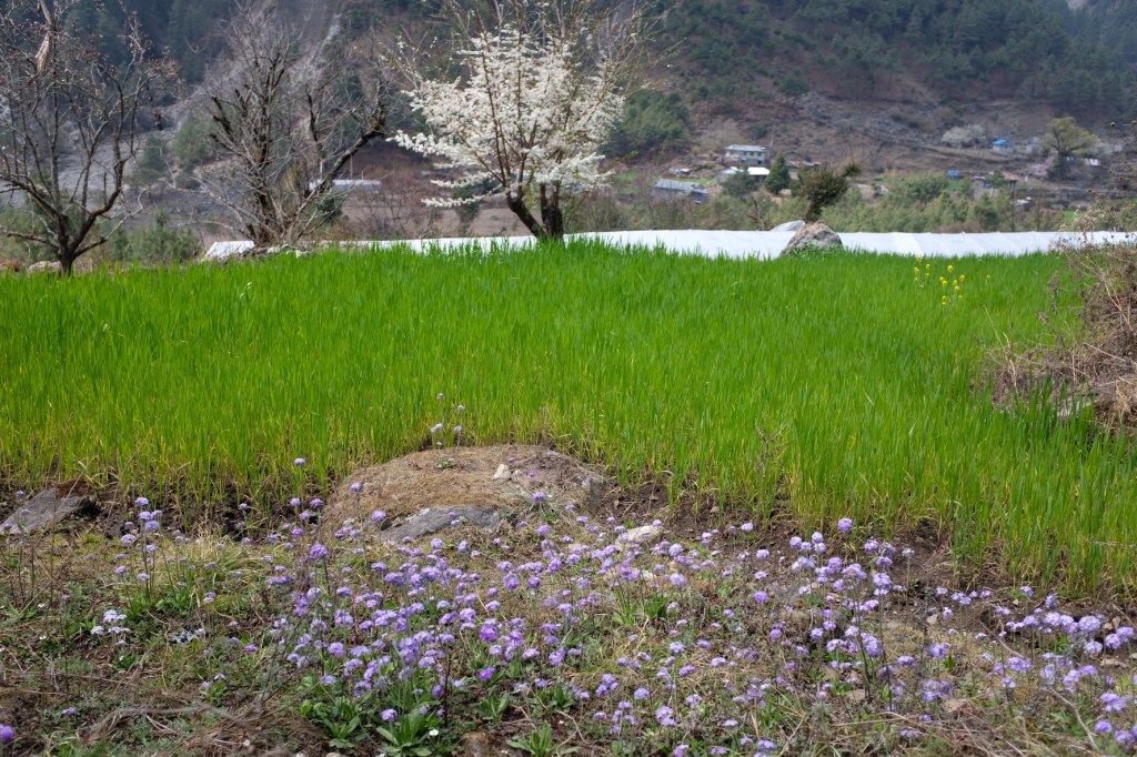
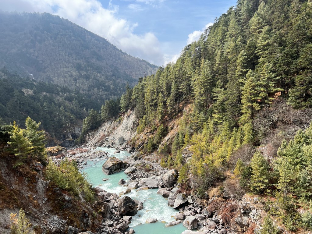
As we headed further and further down the mountain, we saw how the lower altitude regions of the park transformed over the past 2 weeks. Spring had arrived and the dormant vegetation we saw heading up the park had transformed into blooming flowers and bright green leaves.
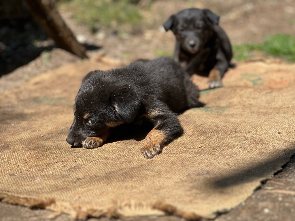
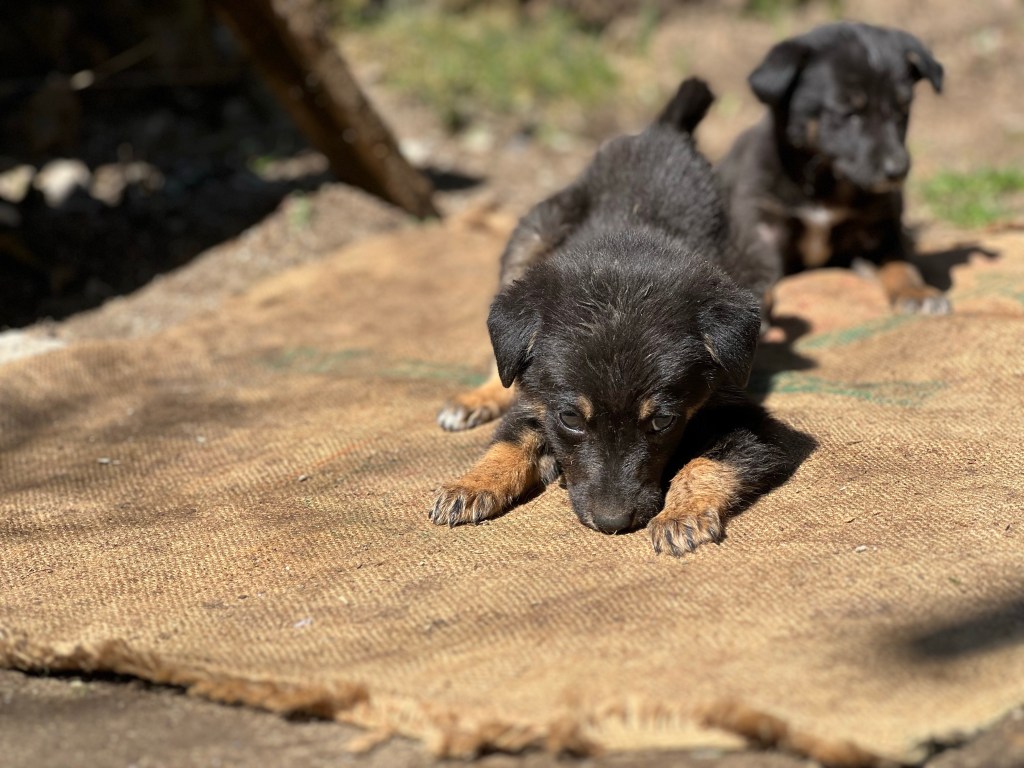
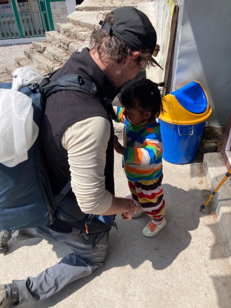
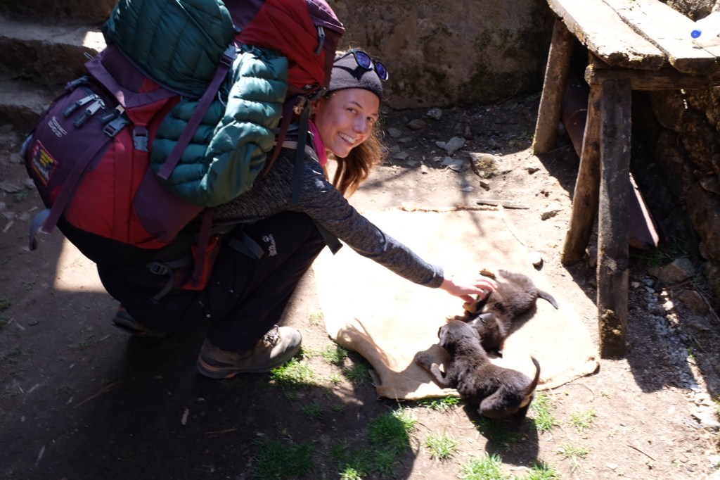
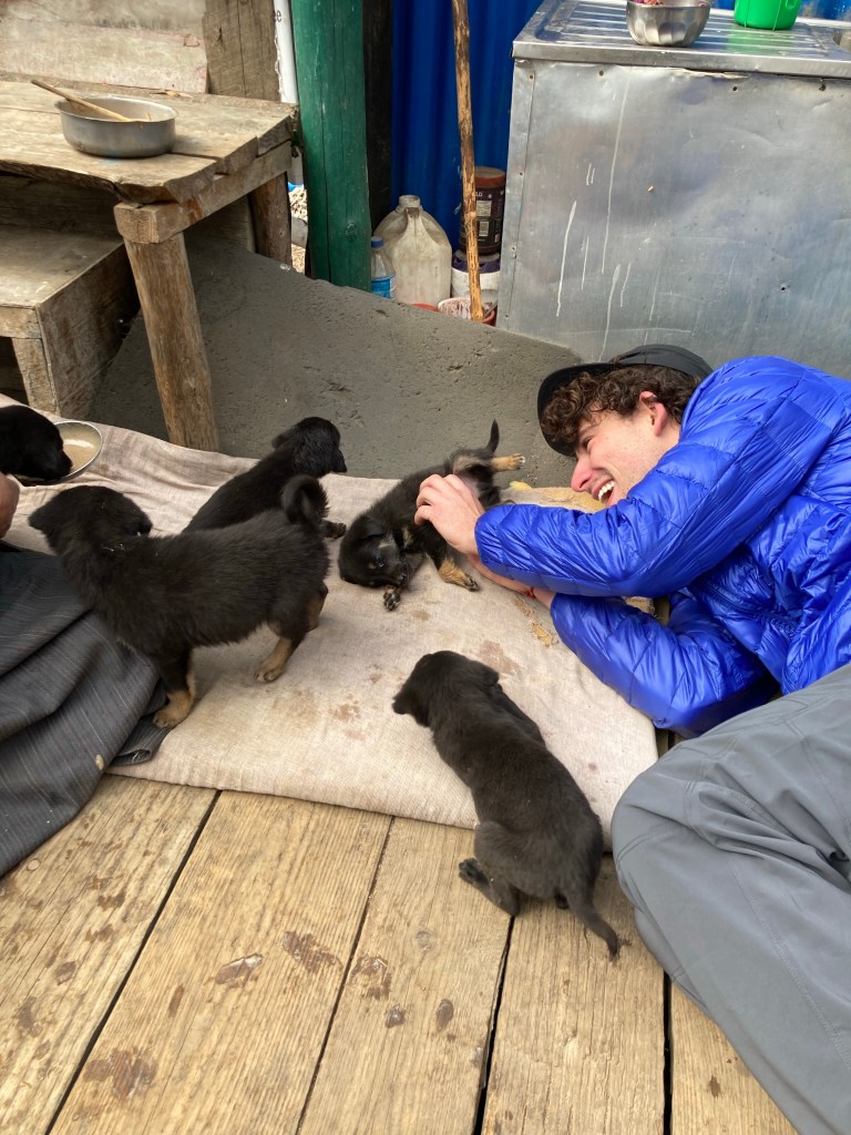
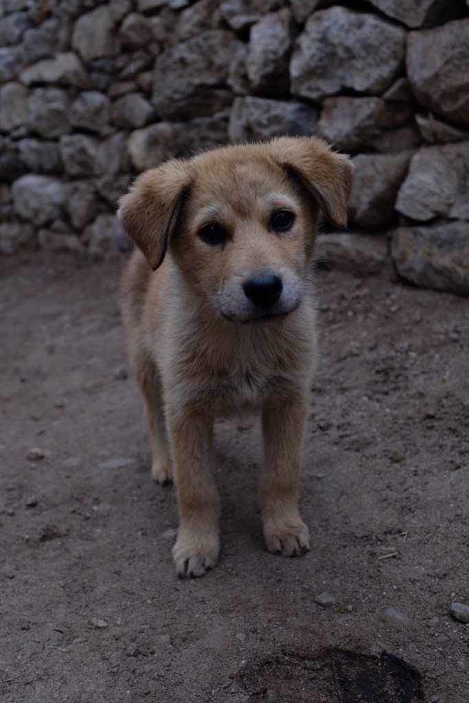
And on our journey back, we stopped in Monjo to see our puppy friends from a couple weeks back – and I got an important lesson in buckling my backpack straps from a 3 year old.
And arriving in Lukla, we splurged on a $10 hotel that offered hot showers – the first in 10 days, it was a true luxury.
Our last night before heading home to Kathmandu, it was bittersweet. On the one hand, our chapped lips and sunburned faces, weary legs and strained traps were excited for a rest. On the other hand, we craved explore more of the region – to experience all it has to offer.
But in the end, we consoled ourselves with the reminder of our achievements and a resolution to return one day soon – immensely grateful for what the Himalayas had gifted us.
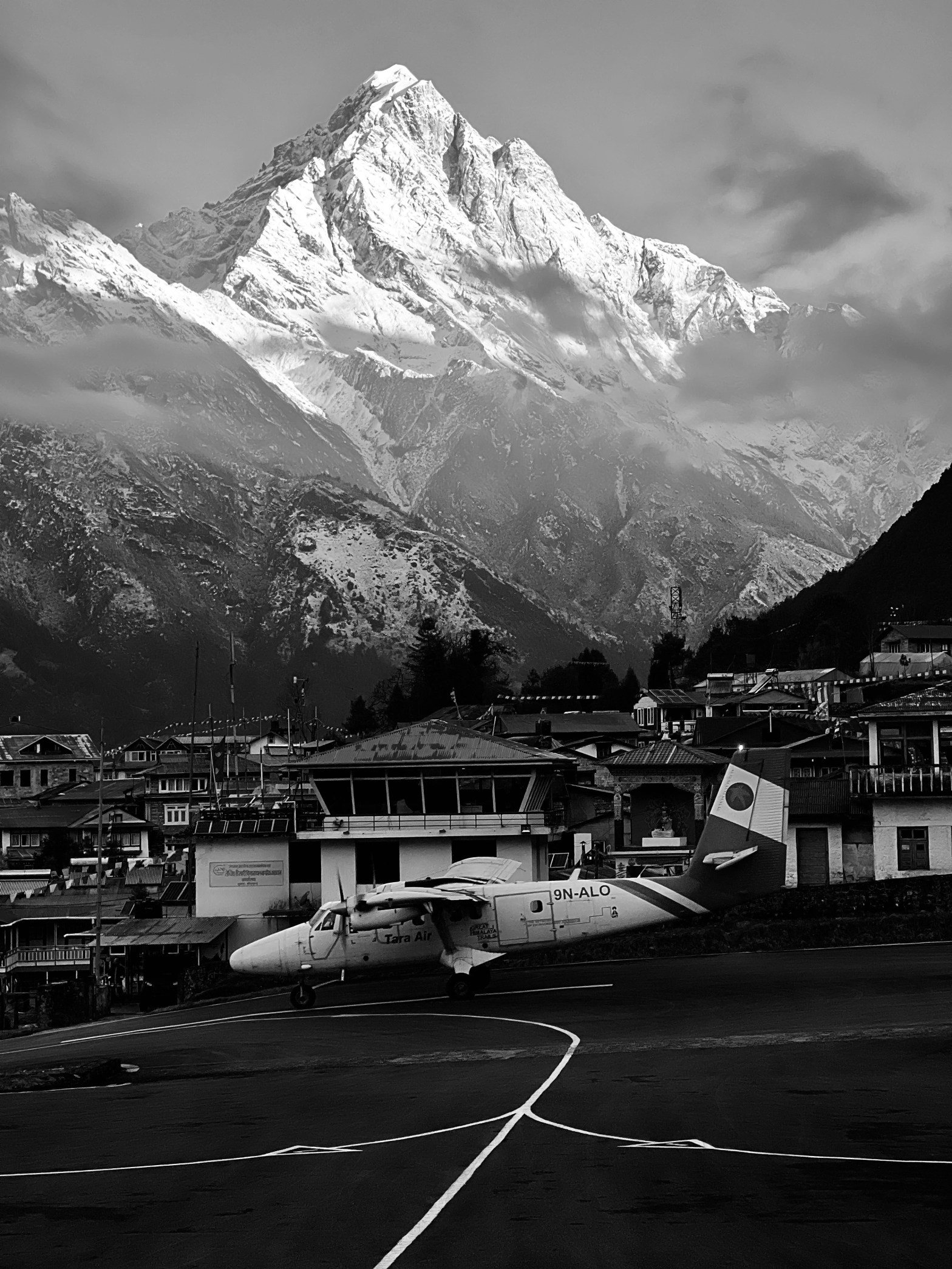
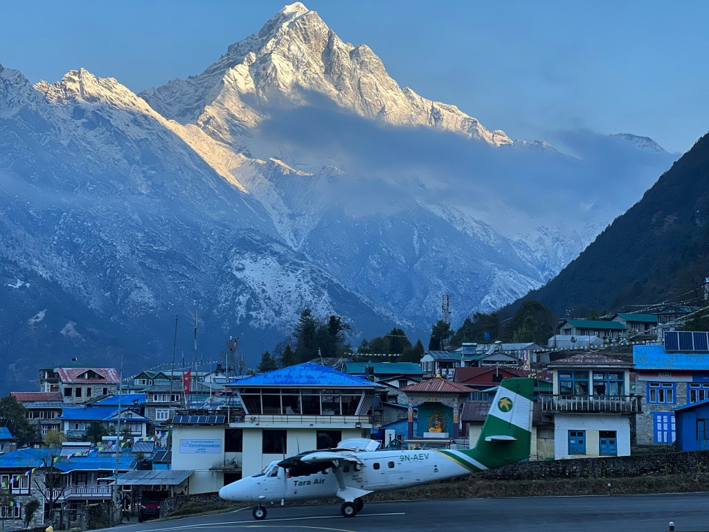
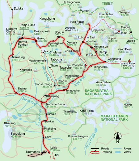
Day 1: Kathmandu (1,400m.) -> Lukla (2,830m.) -> Benker (2,640m.)
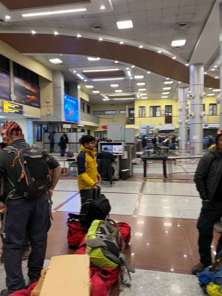
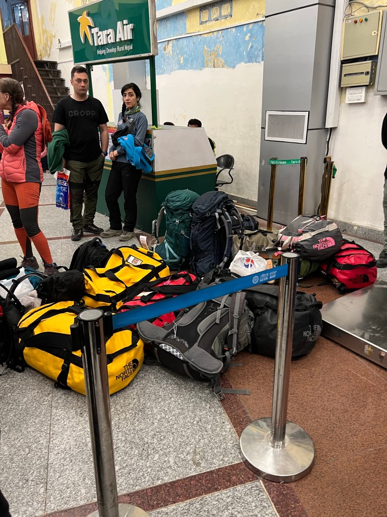
Bright and early, I caught a taxi to the Kathmandu Domestic Airport for my 7:30am flight to Lukla to begin the trek. Arriving an hour before takeoff (yes, only an hour), I headed to the one ticket counter, weighed my bag, and got my ticket.
While waiting, I met a few trekkers flying to Lukla as well and we spent the time sharing our plans assuaging our eagerness & anxiety: Jose, a former Marine from Panama currently living in Australia; Sophie, a medical student from Germany; Wendy from Canada & her guide; Ram, a judge from the Philippines; and two dentists from France who made Aliyah Israel. Our motley crew, which comprised of half the plane’s capacity, was a great microcosm of the diversity of trekkers that visit the Himalayas – young and old, from a plethora of backgrounds.
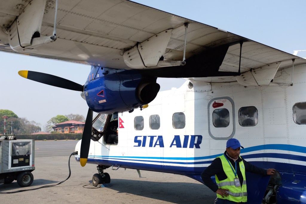
Unfortunately, this was the day I would be confronted with the true challenge of a Kathmandu <-> Lukla flight.
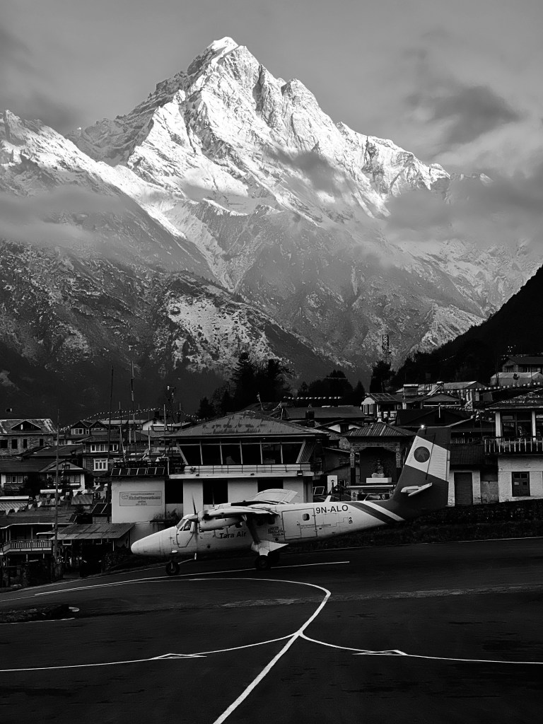
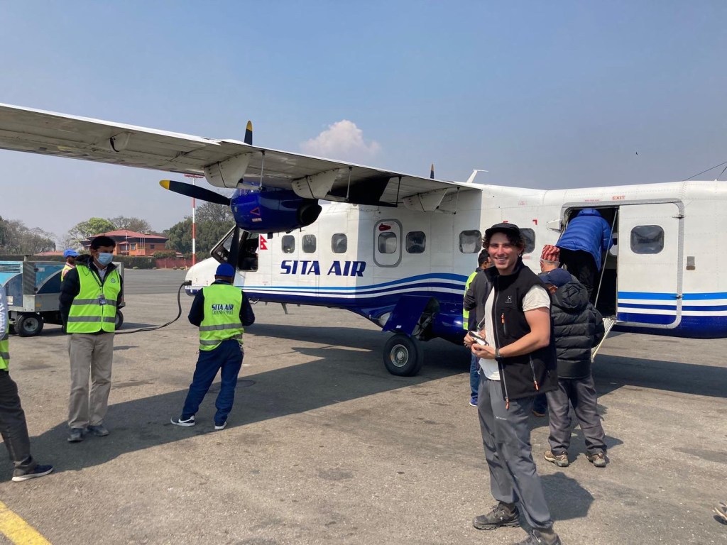
The runway at theTenzing-Hillary airport in Lukla is only 1,700 feet long, about half the length of normal runways that use smaller aircrafts like the ones used for the Kathmandu <-> Lukla flight. The runway is also on an 11.7% gradient, which helps with slowing down the plane due to its very short length. On top of that, unlike most runways, the end of the Tenzing-Hillary runway completely drops off the side of a cliff – so if something goes wrong on take off or landing, it is much more difficult to deal with. To top it all off, due to the mountainous landscape around the airport, once a plane goes down for a landing, that plane must try to land even if something goes wrong – known as a “no go around” order.
Therefore, if the weather isn’t perfect, the airlines will not take the risk of flying in and out – resulting in the rout being one of the most cancelled in the world. If the weather isn’t perfect, the airlines will not take the risk of flying in and out.
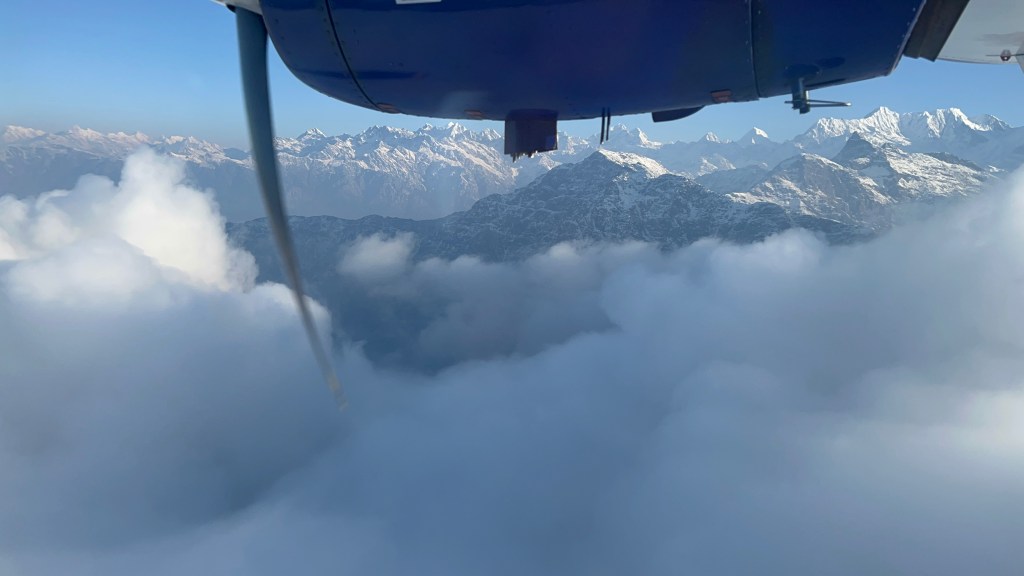
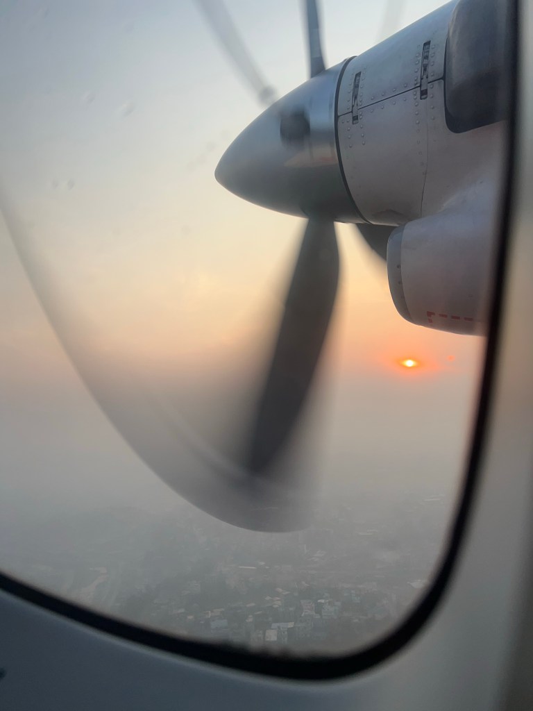
Today was one of those days – while the weather seemed to be perfect in Kathmandu and reports said the weather was clear in Lukla, a few rain clouds in the middle of our journey threatened takeoff. Despite this, after 4 hours of delays at the airport due to the uncertain weather, we finally boarded our flight to Lukla!
Unfortunately, 15 minutes after takeoff, the pilots announced that the poor weather had returned, making it too dangerous to land in Lukla, and we diverted back to Kathmandu with the promise of a flight first thing the next morning (if the weather is clear). While a somewhat frustrating start to the trip, we were all very grateful for the pilot’s prudence – I would rather not get there at all than on the bottom of a cliff!
That night, bonding over our shared disappointment & interests in Medicine, Sophie and I spent the evening reviewing our itineraries. Seeing that we had similar plans, we decided to trek together – or at least I did!
Fortunately, the next morning (after a night of constant downpours), the weather was perfectly clear, and we boarded our flights for a smooth ride to Lukla.
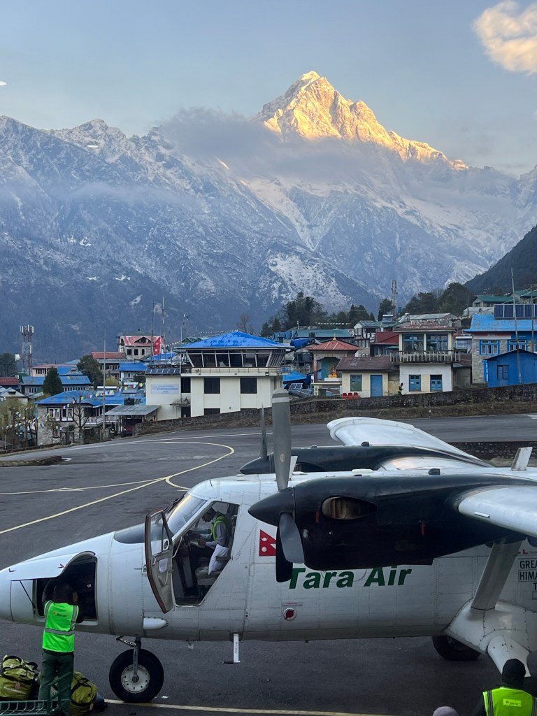
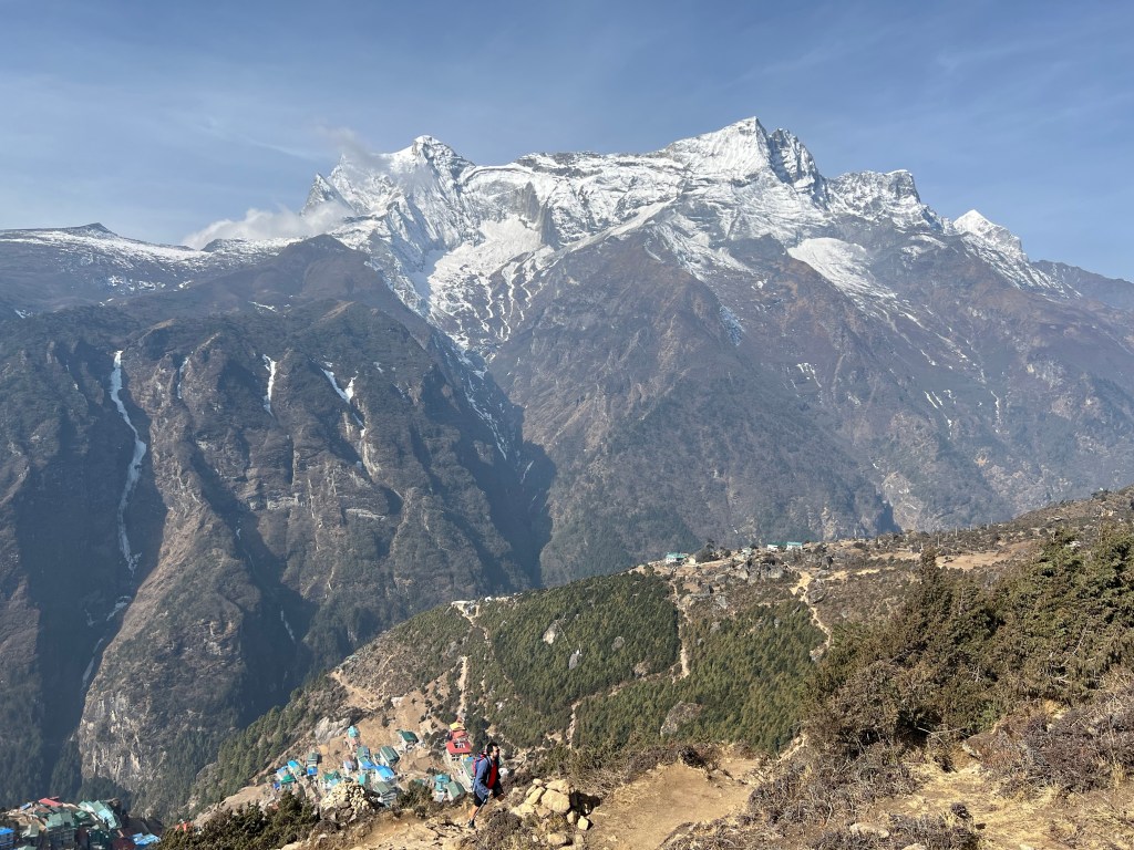
Arriving in Lukla, trekkers are immediately confronted with the height and beauty of the region with a bowl of snow-capped mountains overlooking the airport in the distance.
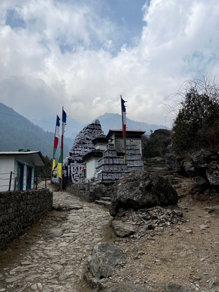
Sophie and I eagerly started our day’s hike, only to need to stop 10 minutes later at the first of 4 checkpoints in the region to secure our permits. There, we met Pierre, a weathered 60-year old trekker and mountaineer from Denmark, with decades of experience in the region. While we did not realize this at first, Pierre would be a wonderful travel companion and mentor, who generously took the time over our first few days together to teach Sophie and I the ropes of the region.
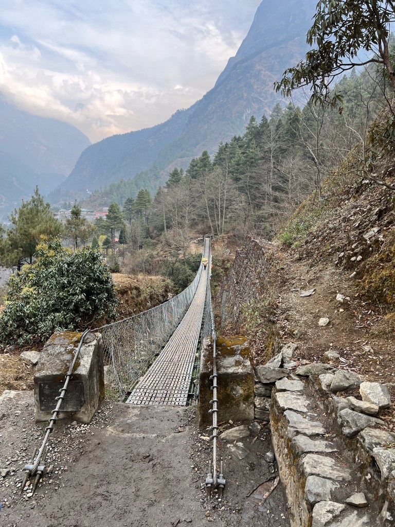
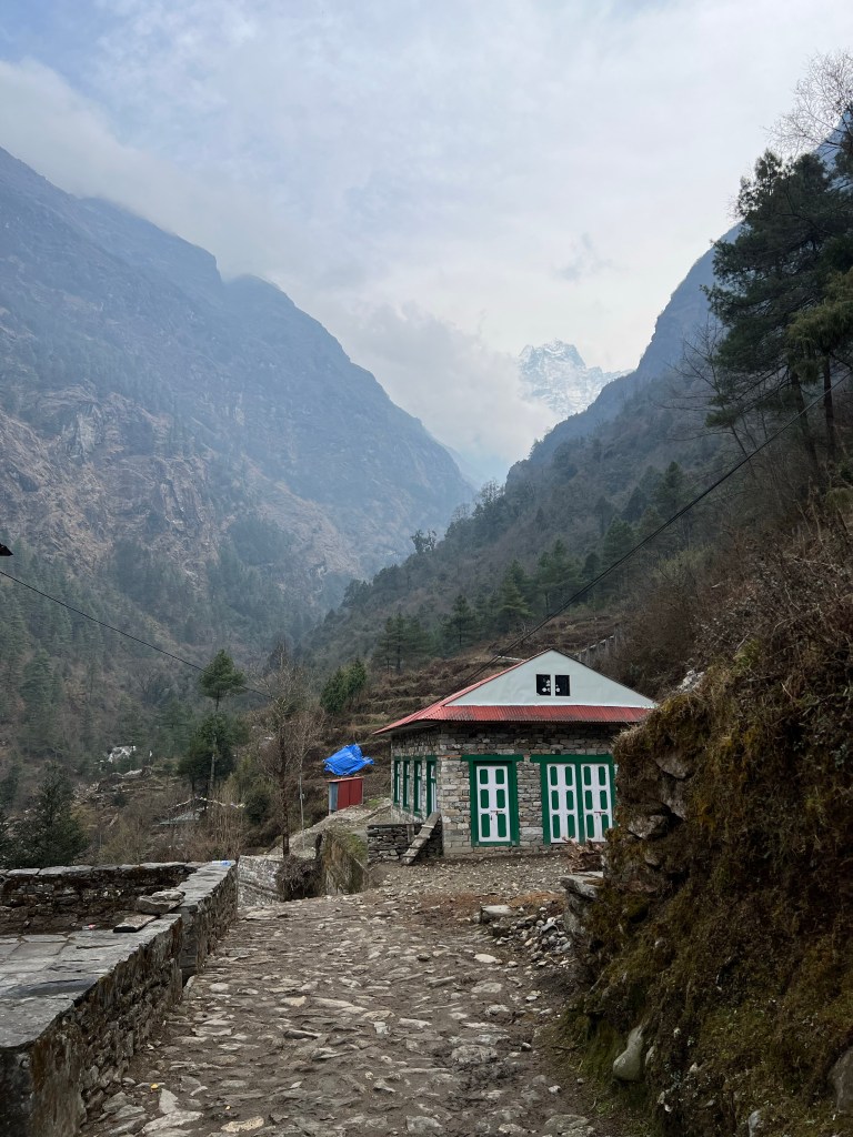
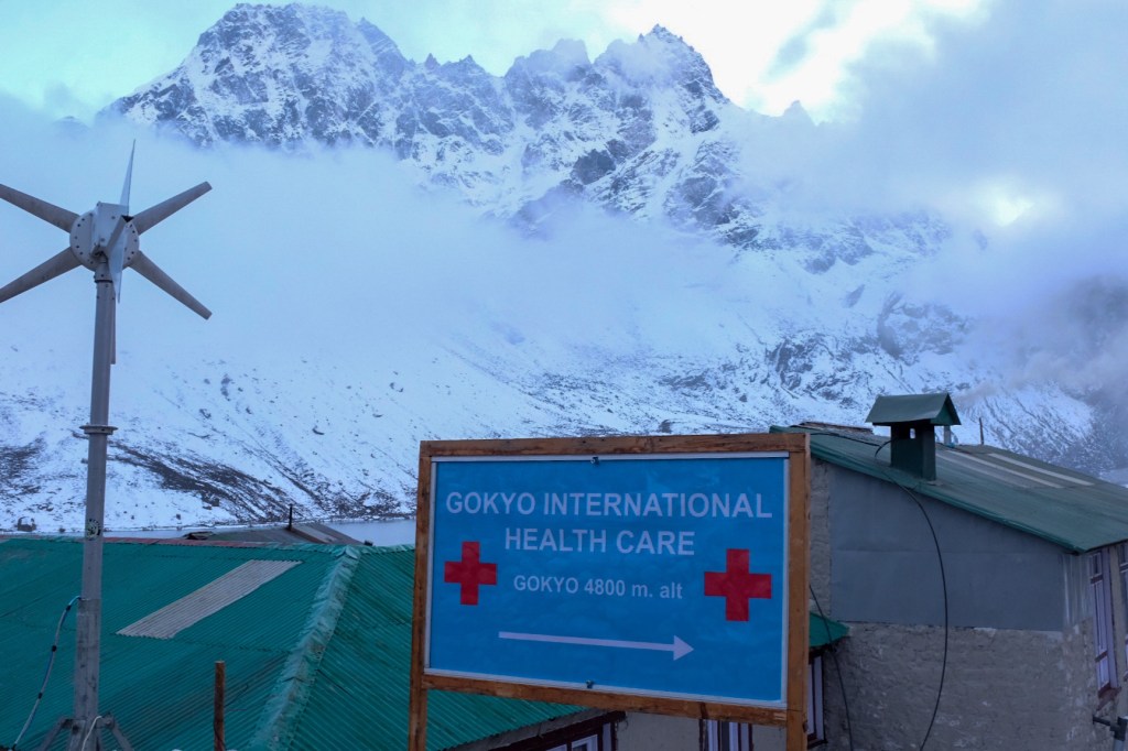
After obtaining the permits, our group of 3 – Sophie, Pierre, and I (the rest of our airport companions spread out on their various plans) made the 4 hour trek to Phakding (2,640 m), and stopped for a lunch of Thukpa and tea. While many trekkers decide to stop in Phakding their first night, it was still early in the afternoon when we finished lunch, and we decided to go a couple towns further as there would not be much altitude increase and we would be closer to tomorrow’s destination – the mountain city of Namche Bazaar.
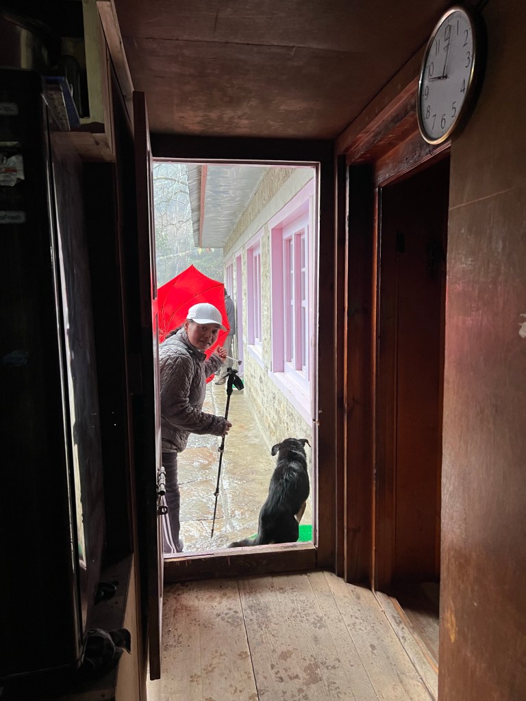
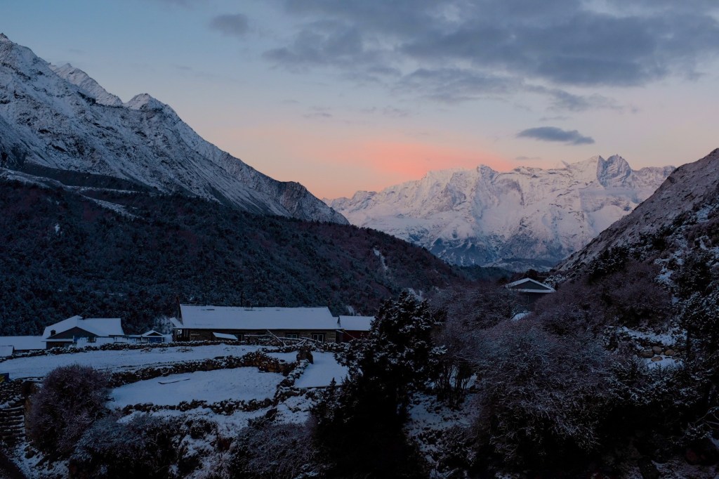
After another 2 hours of trekking, the weather (always fickle) changed from bright blue skies to grey clouds and a hail storm – fortunately we just entered the town of Benker and decided to settle their for the night at a local teahouse.
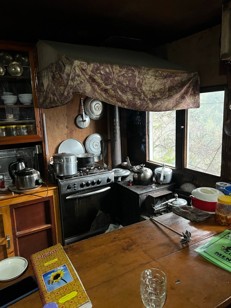
A few hours later, the weather had cleared again and I decided to walk around the town trying to find a path to the river we followed throughout the day. While searching for a path, I was met by a former-sherpa-now-teahouse-owner, who invited me in for a cup of coffee and a chat. I learned that after being a porter and guide for many years, the man (who I never the name of) had saved up enough money to purchase a teahouse, where he and his wife serve weary travelers and sherpas. Quite proud of his time as a Sherpa, he told me of his SEVEN summits of everest (with photos for proof of course), and the numerous other high-altitude treks he had done over his career. I admitted that I had never really considered mountaineering as something I would enjoy, but that I had already felt a strong connection to the region. He then proceeded to tell me of some of his favorite summits, and after some deliberation, we mapped out summits I could consider in the future – if I still loved the region after 2 weeks of exhaustion and the bitter cold. On the top of the list was Ama Dablam – and this is the mountain that, after two weeks of trekking, I have fallen in love with. More on that later. While I was chatting with the teahouse owner, several porters came into the house and sat down at the kitchen table we were chatting at. While simultaneously continuing our conversation, the owner proceeded to brew up some tea and fetch some bread for the porters. The owner explained to me that he, and many other local teahouses, never charge porters for food and tea – and that it is a form of respect and courtesy to the hard, unglamorous, work these load bearers do to help sustain the region with supplies and food.
After our chat, the teahouse owner showed me the way down to the river and let me on my way with a smile and wave. Heading to the water, I rested by the rocks, enjoying the views and the water rushing by my feet. I knew here that I would love this place.
Back at our teahouse, Sophie, Pierre, and I ate, dried our clothes, and relaxed by the fire.
Day 2: Benker (2,630m.) -> Namche Bazaar (3,440 m.)
The next day was the first of many challenging include treks. Carrying a 15kg (33 lb) pack, I knew this would be the first true test of my strength and packing ability. Fortunately, despite the increasing altitude, sharp ascent, and a heavy pack, we all made it to Namche in a relatively fast pace of 4 hours. We would later discover that Sophie’s and my strength and speed as trekkers would come in handy as we tried to fit as many destinations as we could in our short 2-week itinerary.
As we managed the trail, we were fortunate to have some incredible views of the mountains to come – as well as beautiful vegetation that we would not see again for many days as we hiked higher and higher in altitude.
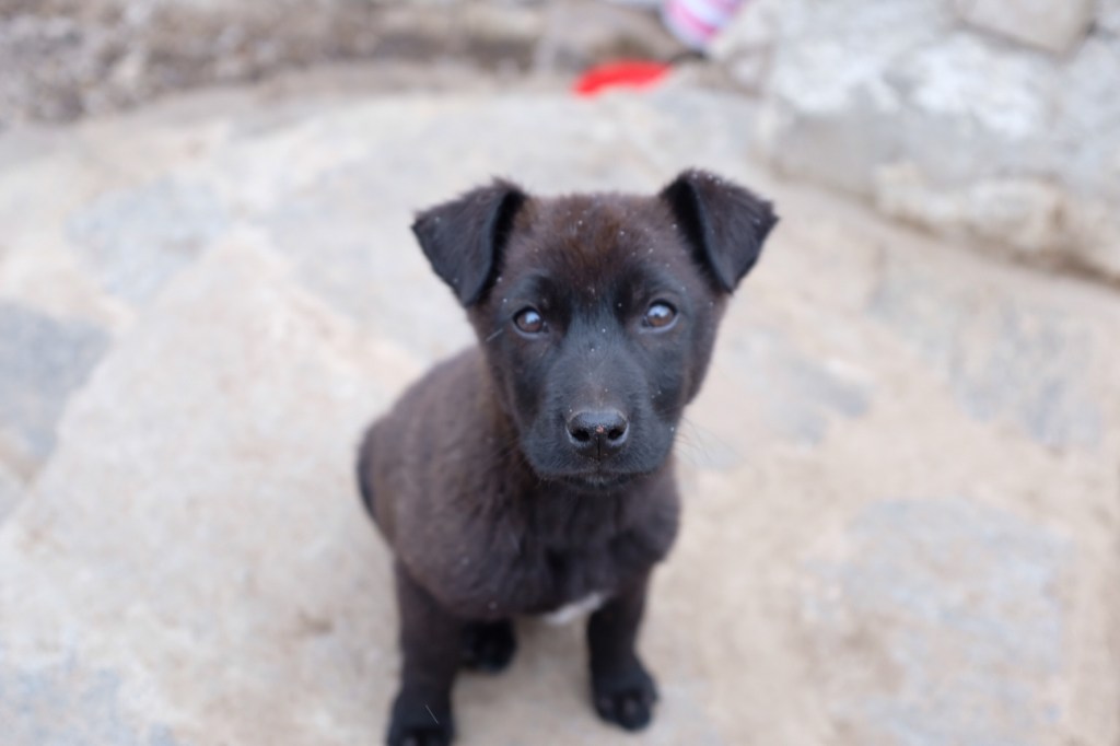
Along the way to Namche, in the town of Monjo, the three of us stopped for tea and met a litter of puppies (we would see them again in two weeks and admire their enormous growth over that time).
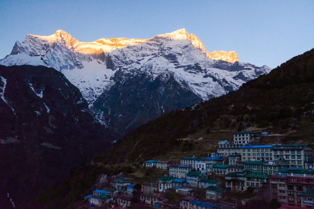
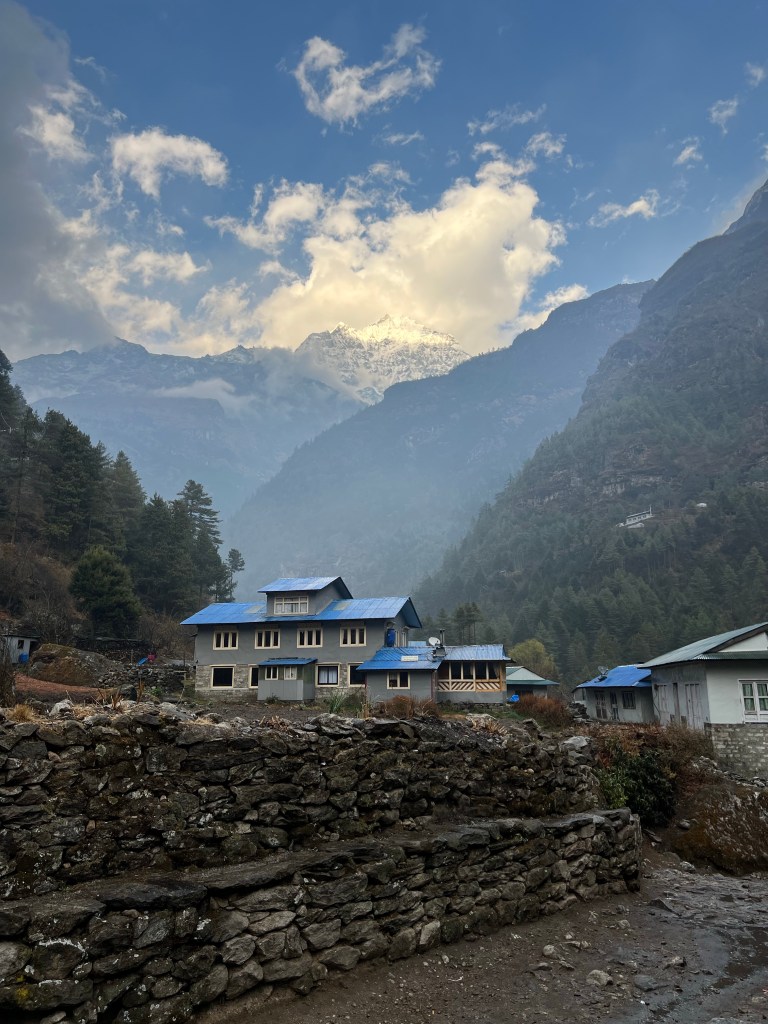
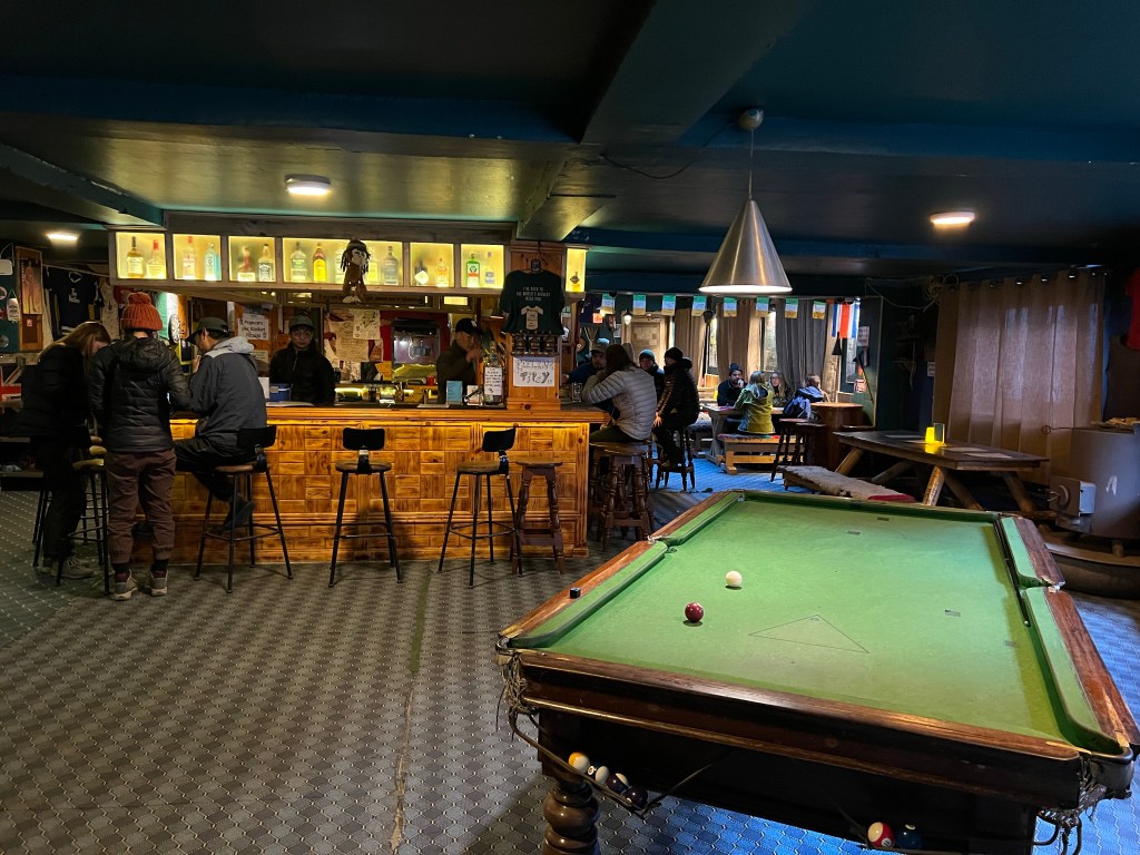
We arrived in Namche Bazaar around 1:00pm. Namche is a a popular stopover town for trekkers in the Khumbu region, especially for altitude acclimatization (we would stay here one extra day for our bodies to adjust to the altitude). The town has a huge variety of teahouses, hotels, stores, cafes, and restaurants. There is also an Irish pub, which is said to be the highest and most remote Irish pub in the world!
After finding lodging, we ate some momos and went to the German bakery for coffee and cake, and too enjoy the sun.
Later in the day, Sophie and I went to find our friends from the airport – Wendy & Jose, and met a couple of other trekkers from Germany. We all went to the Irish Pub, of course…
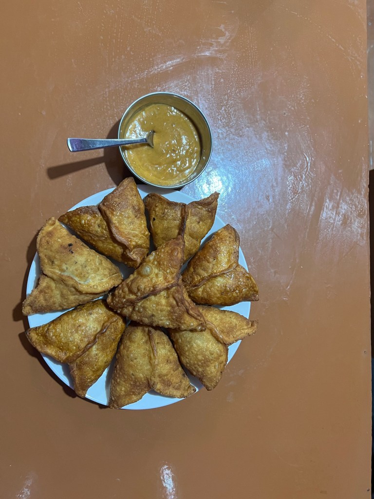
And in the evening, Sophie, Pierre, and I went to a local Nepali sherpa joint and ate some of the best samosas of our lives. before heading to our self-designated 8:00pm bedtime.
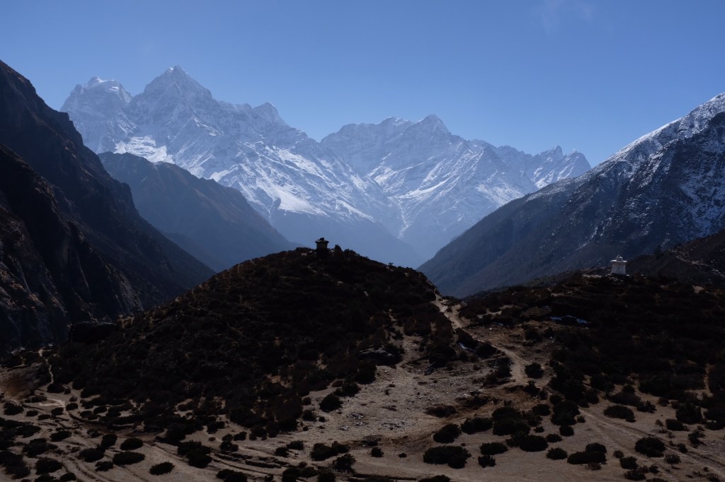
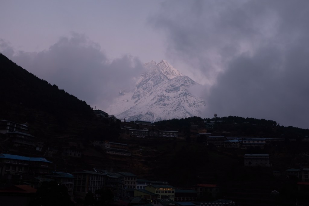
Day 3: Namche (3,440m.) Acclimatization Day; Everest View Hotel (4,000m.)
The ideal method to develop acclimatization to the altitude is to (1) ascend slowly, especially after 3,000 m., and to climb high, sleep low. This idea is to expose the body gradually to higher and higher altitudes, forcing it to adjust, and then returning back down to sleep and recuperate at the altitude that the body is already used to.
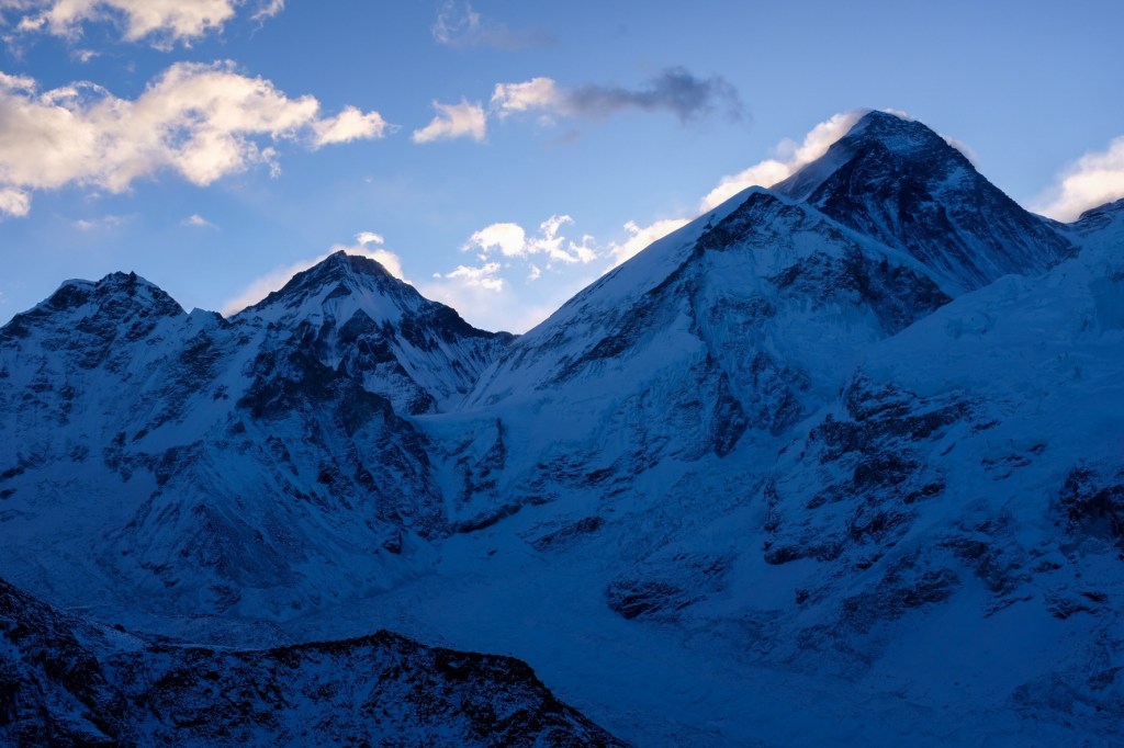
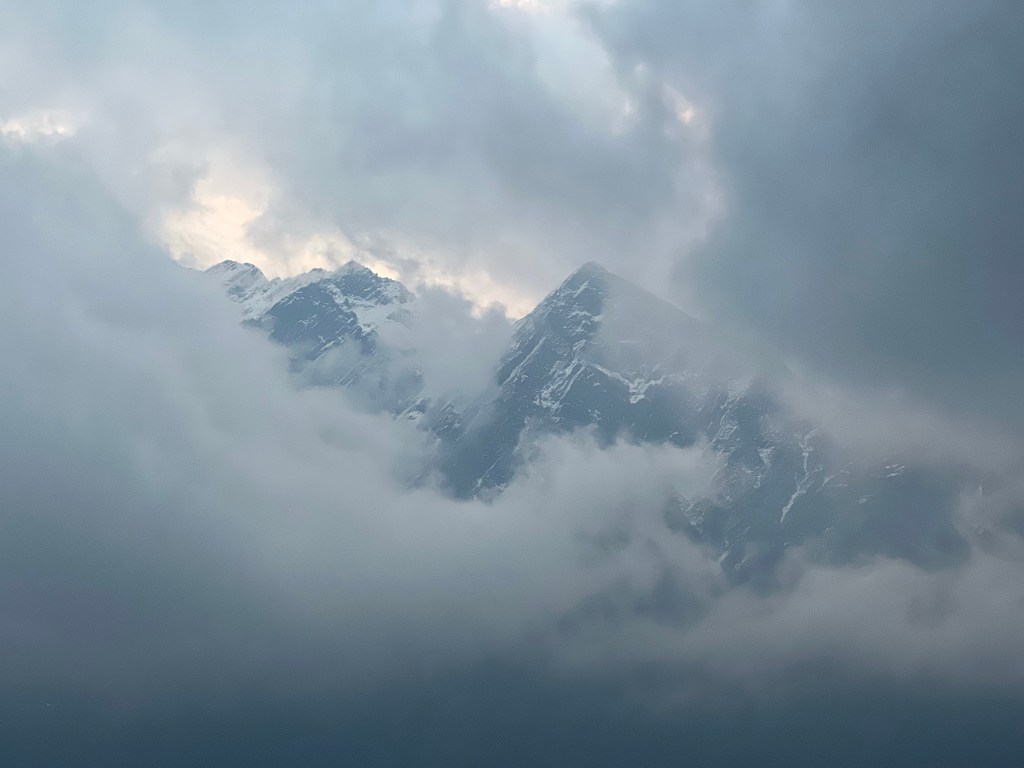
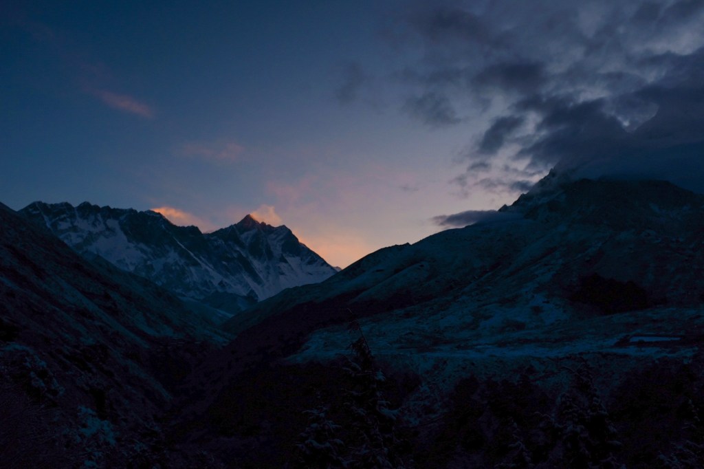
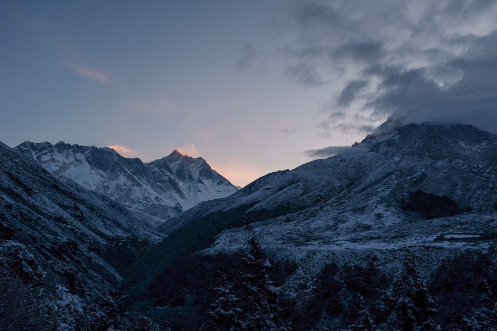
During our acclimatization day, we took a 4 hour out-and-back day hike to Everest View Hotel (4,000 m.) and got our first views of… you guessed it… Mount Everest!
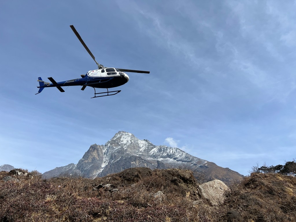
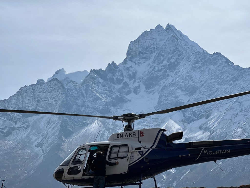
It was here that I also learned of the more luxurious options for visiting Everest Base Camp. For a mere $1,500 (for group) or $4,000 (for private), tourists can catch a helicopter from Kathandu, fly to Everest Base Camp, fly to Everest View Hotel for breakfast, and be back in Kathmandu for lunch. While a part of me finds this frustrating – seeing my two week journey compressed into a few hours – I have eventually come around to this option as a reasonable way to give people less physically able a taste of what the Himalayas have to offer.
The rest of the day, we mostly relaxed and enjoyed the cheap food and free wi-fi. Namche is often considered the Gateway to the Himalayas and we knew that we needed to rest for the journey to come.
This was also our last day with Pierre, who would be heading in a different direction from us the next day. We spent the night drinking tea and listening to his stories, from trekking in Southeast Asia in his 20’s to climbing some of the highest peaks in the Himalayas in his 60’s. He was a true mentor and source of knowledge for Sophie and me, and we would regularly revert back to him in our thoughts throughout our journey.
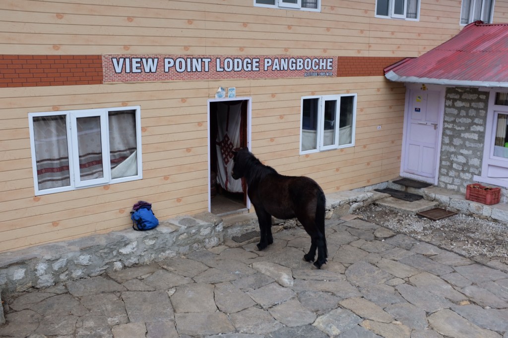
Day 4: Namche (3440m.) -> Pangboche (3,985m.)
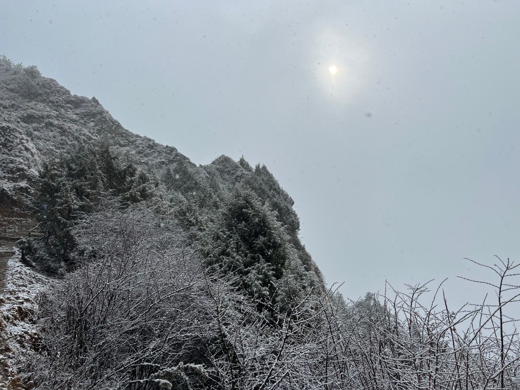
The next day, Sophie and I started bright and early to begin our 5 hour trek. The night before, it had begun to snow,, and when we began our trek, the snow, while not intense, was still fluttering down on us – offering a quite beautiful, albeit cold, 5 hour trip.
Fortunately, by the afternoon, the snow had cleared, and the remainder of our trek was welcomed by sunshine and some beautiful views.
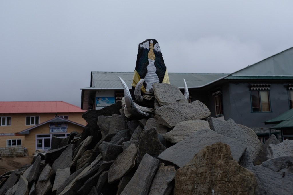
Arriving in Pangboche, we explored the small town
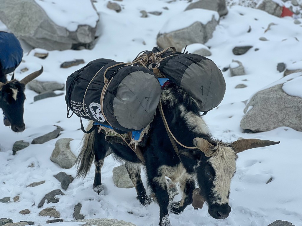
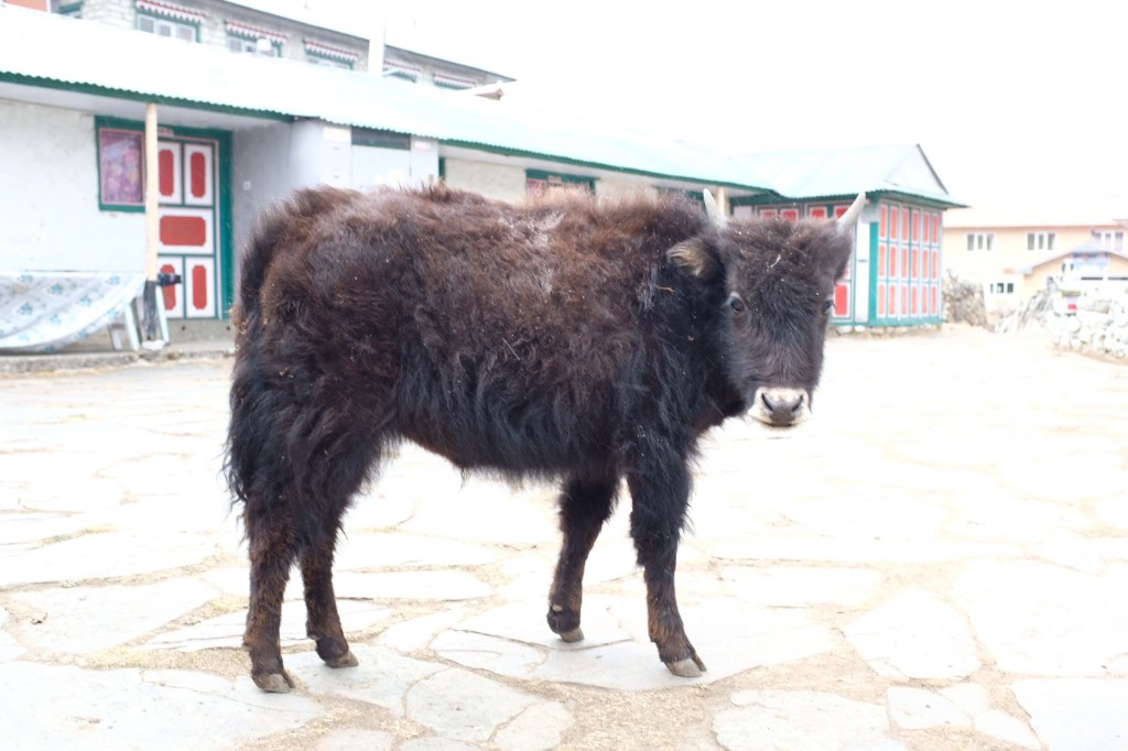
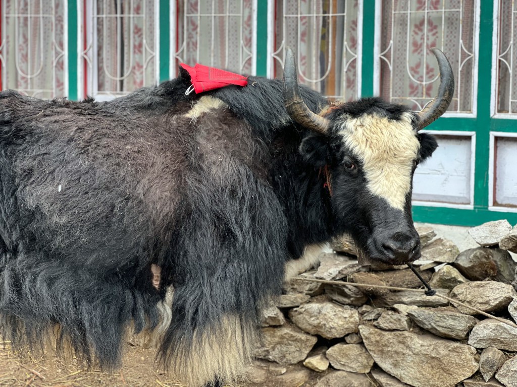
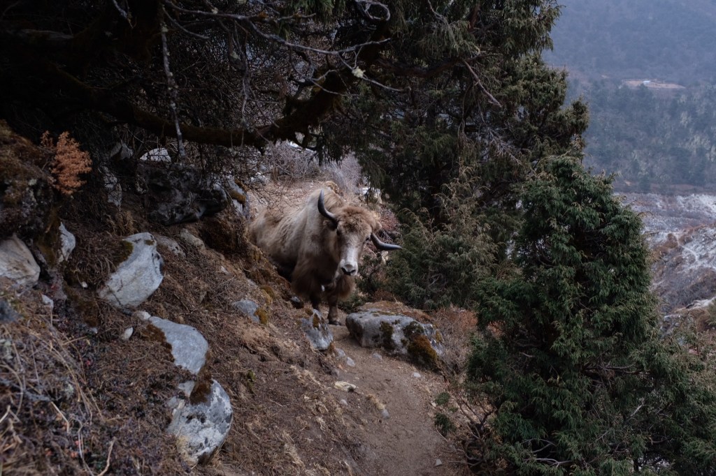
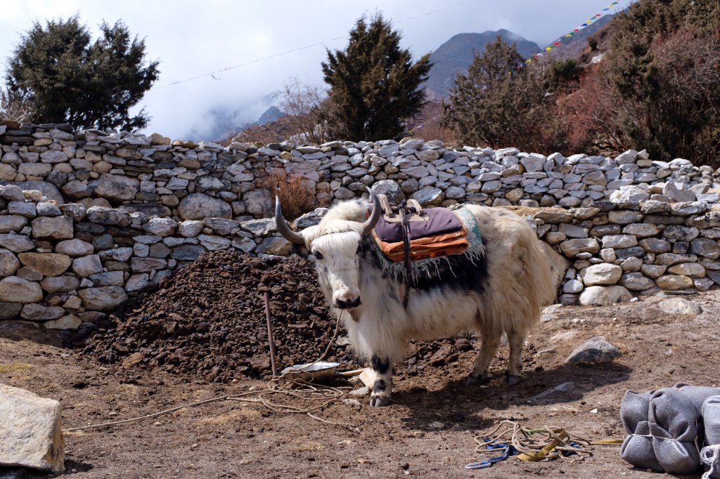
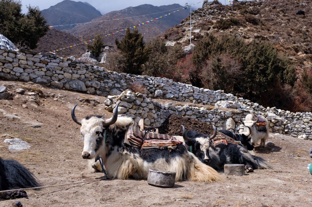
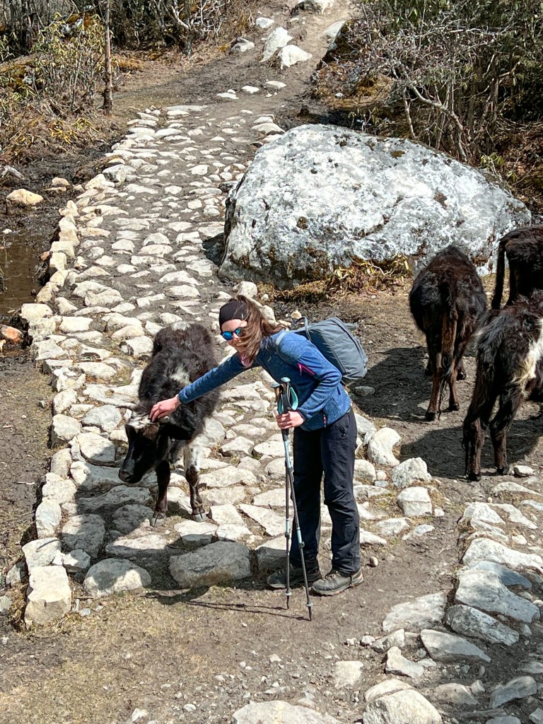
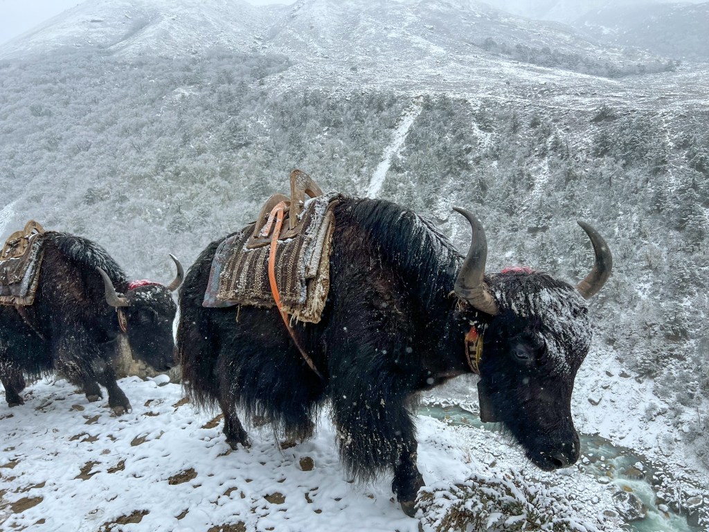
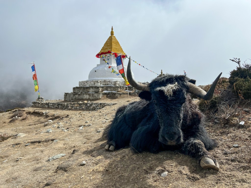
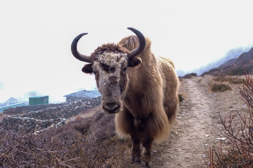
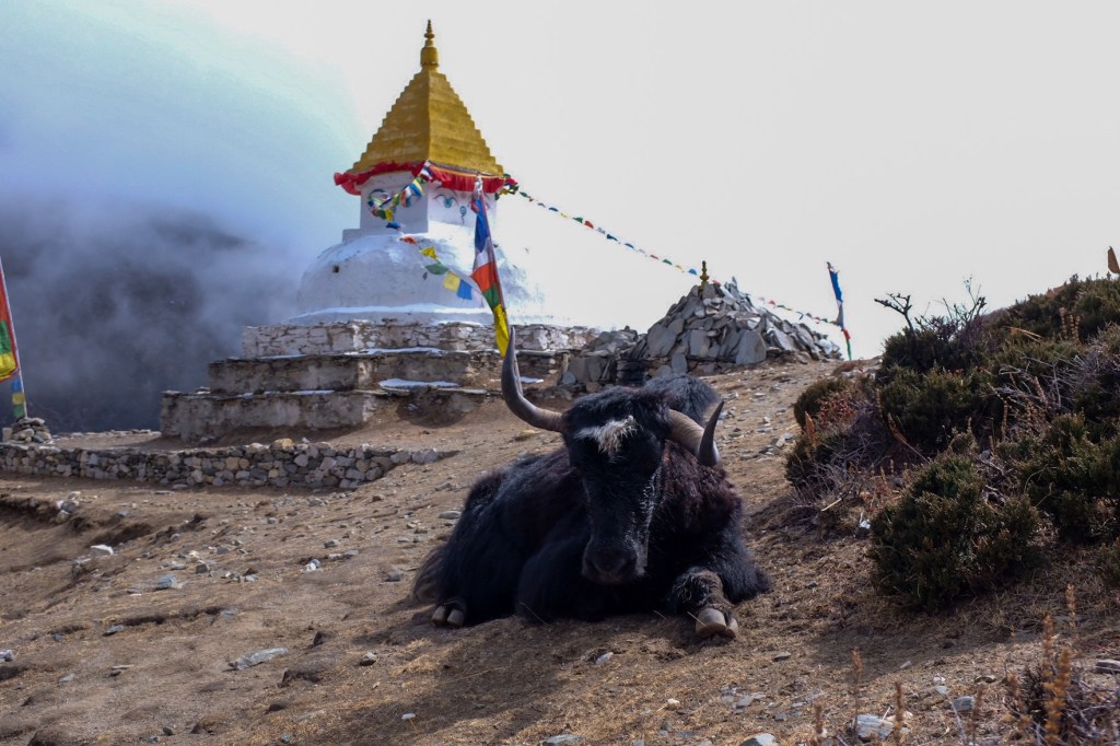
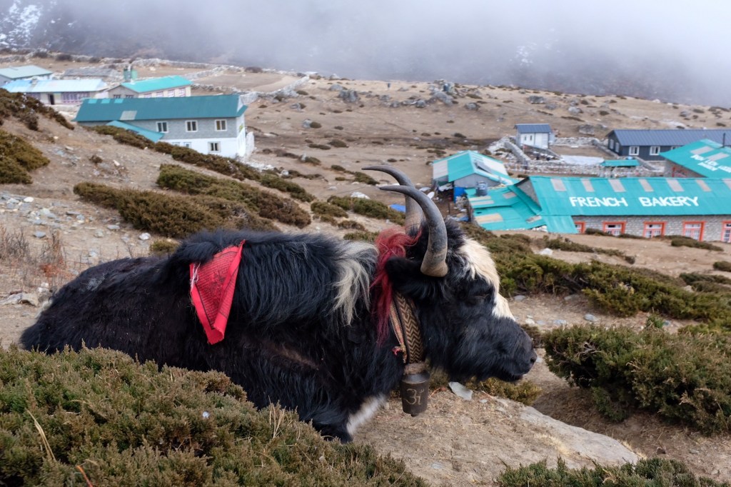
And I got my first view of the Yaks!!
Yaks are in fact, quite fascinating animals! It is a species of long-haired domesticated cattle only found in the high mountains. Yak physiology is well adapted to high altitudes, having larger lungs and heart than other cattle, along with a greater capacity for transporting oxygen through their blood. As a result, Yaks have a very difficult time living in lower altitudes and are prone to heat exhaustion, unlike regular cattle. Skittish at first, but quite affectionate if you approach them slowly, yaks have come to be one of my favorite animals, on par with the African Elephant.
Day 5: Pangboche (3,985 m.) Acclimatization Day; Ama Dablam Base Camp (4,640 m.) & High Camp (5,100 m.)
The next day, Sophie and I headed out at sunrise along with two Israeli’s we met at our teahouse, to catch the views from Ama Dablam base camp and high camp.
Brushing our teeth outside, we were immediately confronted with the pink glow of a sunrise on the mountains, our first!
Two hours later, and we reached Ama Dablam base camp and (eventually) high camp, and were rewarded with spectacular views of the mountain ranges surrounding Pangboche.
Spending a couple hours above 4,600 m. to help acclimatize, I could start to feel the power of the altitude. I found myself fighting for each step, huffing and puffing, and taking regular breaks to make sure my heart rate didn’t go too high. This is all normal, of course, as I helped my body adjust to the new environment – but I was glad to drop down 1,000 meters after the long day in the mountains – my body had not quite adjusted to 5,000+ meters yet!
The rest of the day, we dried our clothes and rested by the fire, prepping for the next journey up to Dingboche.
Day 6: Pangboche (3,985m.) -> Dingboche (4,260m.)
Fortunately, today’s hike was relatively easy and short, lasting only about 3 hours. The weather was relatively cloudy and snowy this day, so the shorter trek was greatly appreciated.
Arriving in the early afternoon, Sophie and I found a teahouse, and for the first time, bought wi-fi! We found out Ram and Wendy were also in Dingboche, so we all met up for some tea and coffee.
Day 7: Sunrise Hike to Chukhung Rio Viewpoint (4,750m.) & Trek Dingboche (4,260m.) -> Lobuche (4,930m.)
Often, trekkers decide to take an acclimatization day in Dingboche, but since Sophie and I had already trekked to 5,000m. for Ama Dablam high camp and took an acclimatization day in Pangboche, we felt comfortable proceeding to Lobuche.
Bright and early, with beautifully clear skies in our minds, Sophie and I headed up the mountain for a sunrise at Chukhung Ri Viewpoint
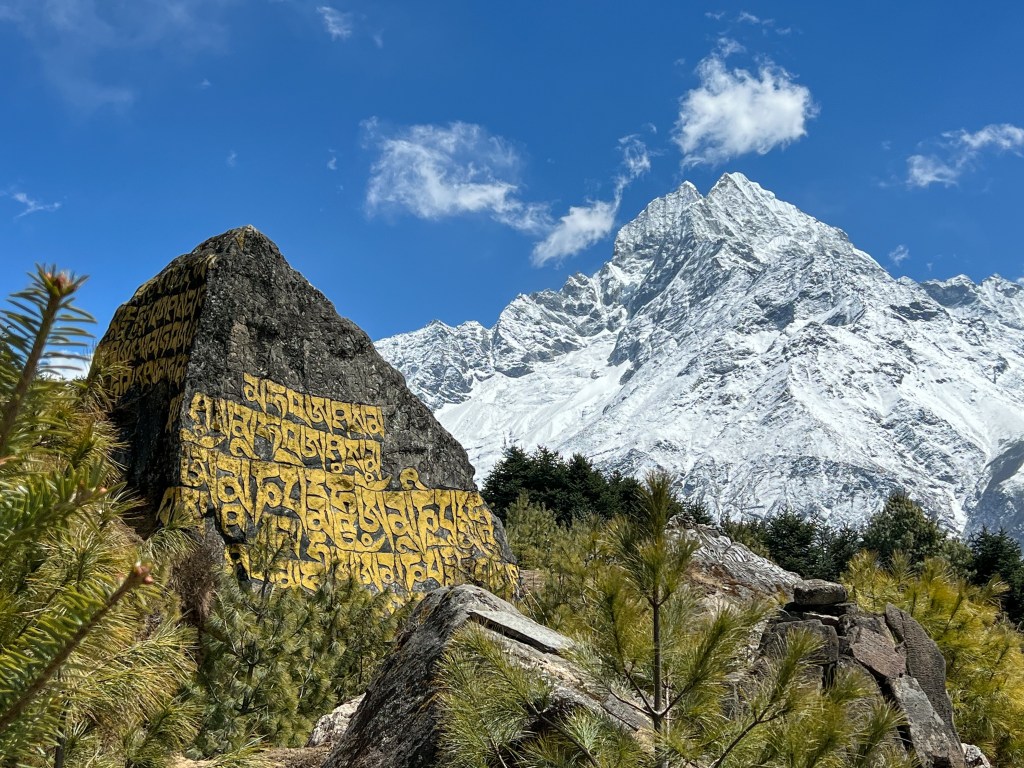
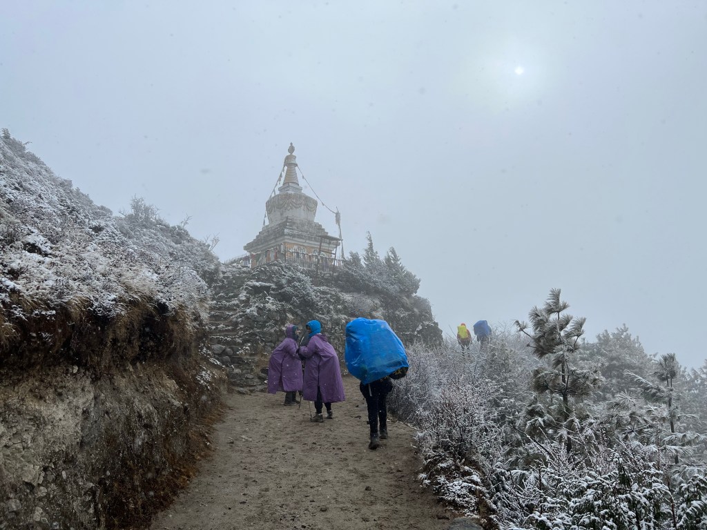
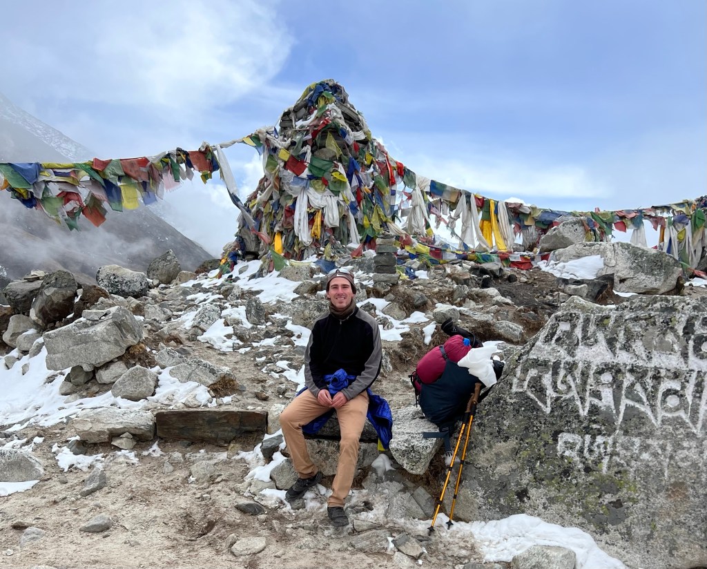
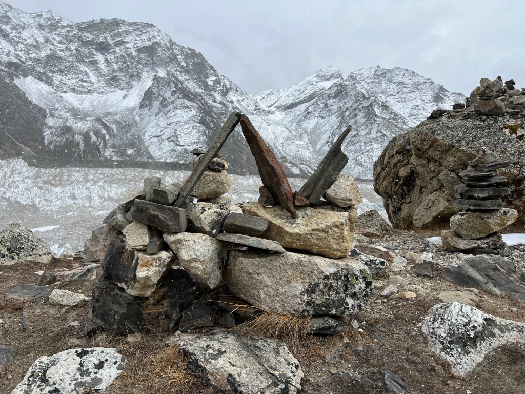
After a hearty breakfast and a short rest, we headed off on the arduous 5-hour trek to Lobuche. The crux of the journey is the 1-mile 500 meter climb that takes trekkers to the Thukpa Memorial park, which commemorates hikers who lost their lives in the region, surrounded by incredible mountain view’s.
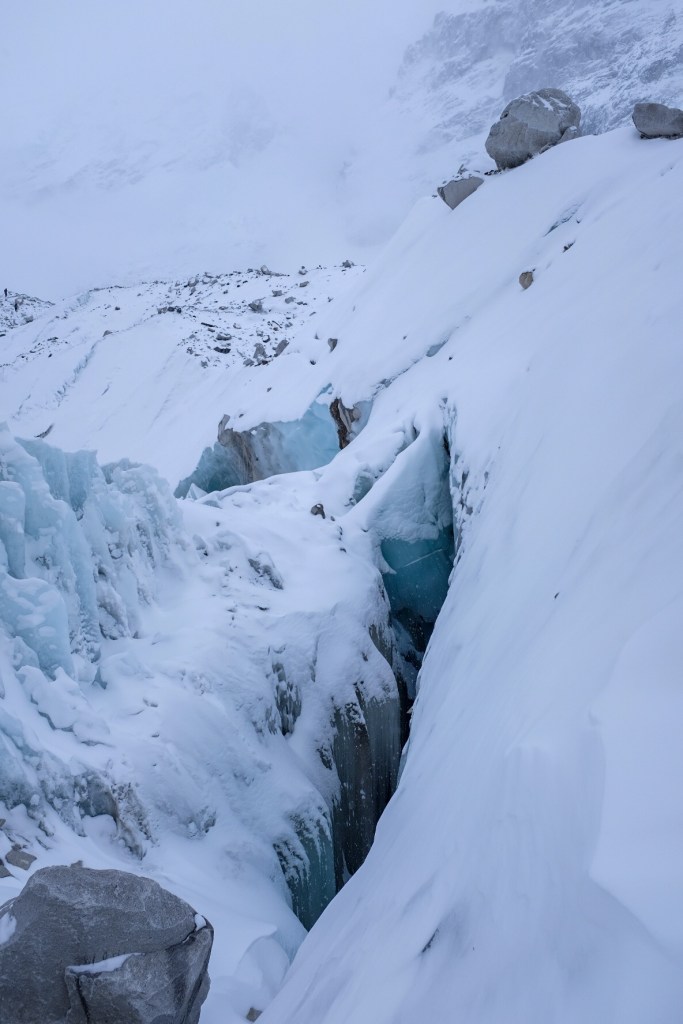
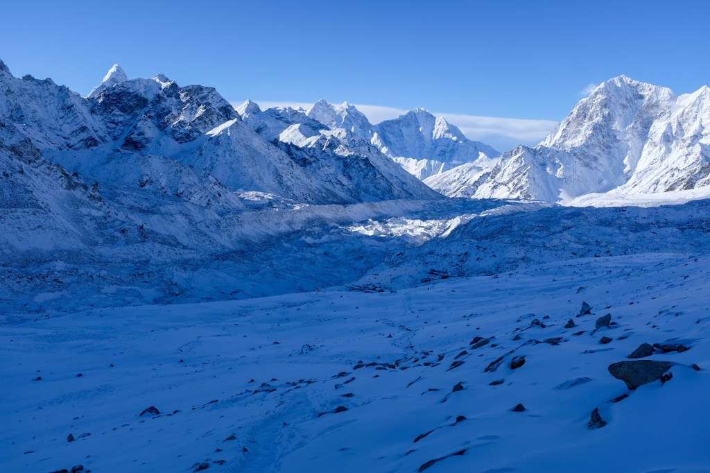
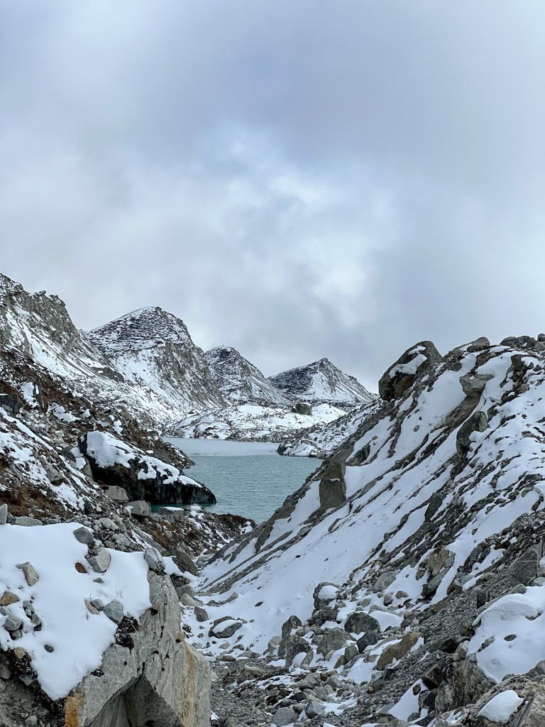
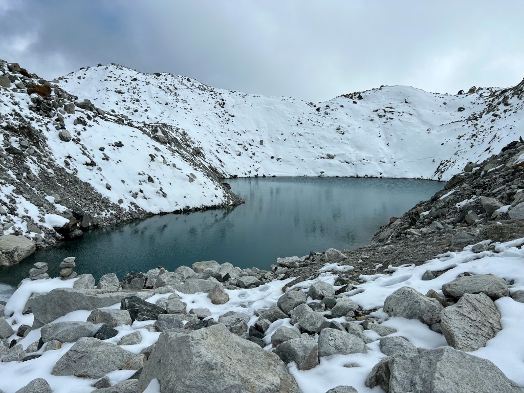
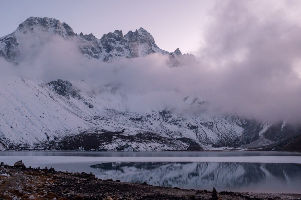
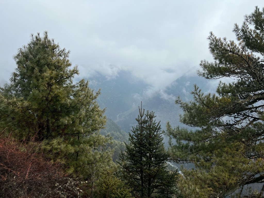
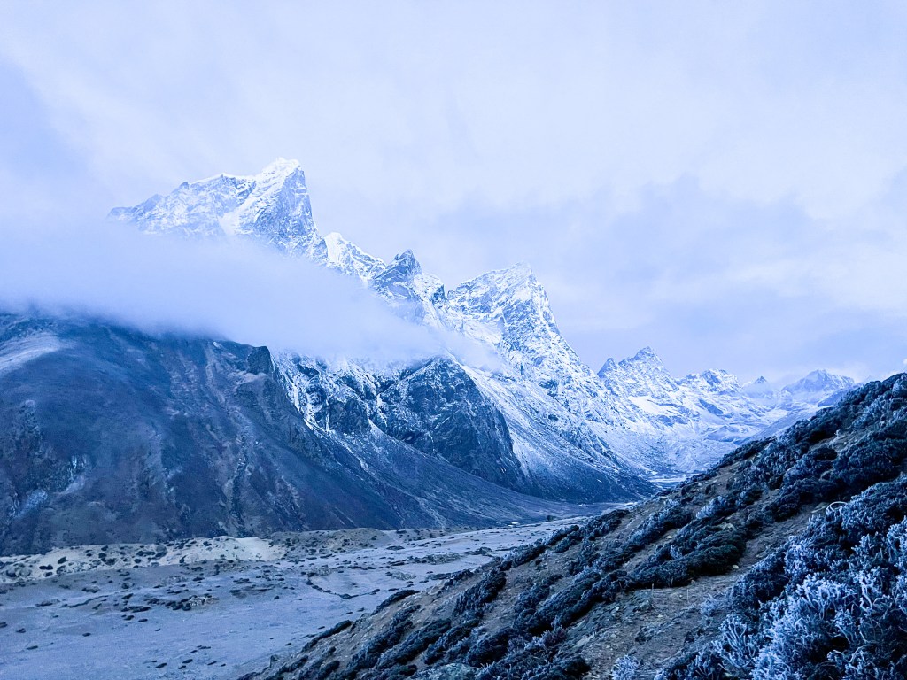
Arriving in Lobuche in the late afternoon, we recovered a bit from our trek and took a short hike to see the Khumbu glacier, which has unfortunately receded significantly in recent years due to climate. change.
Finally, we headed back to the teahouse to rest up for the next day, when we would reach Everest and begin our journey through the peaks and passes we worked towards the past 7 days.
I am going to divide this experience into 4 different posts: (1) Preparing for the trip and explaining the trek & logistics; (2) The trek to Ama Dablam base camp and Everest base camp; (3) The trek through Chola Pass, Renjo Pass, summitting Gokyo Ri, and the journey back to Kathmandu; (4) Exploring Kathmandu & reflections.
Kathmandu
A couple days before flying to Kathmandu from Delhi, I was coming off of a 3 day fever. Feeling weak and a bit disoriented, I started the difficult process of cancelling my trek to Everest Base Camp and the Three Passes: Kongma Pass, Chola Pass, and Renjo Pass. Although quite disappointed, I knew that my health and safety had to come first.
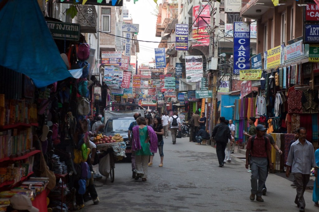
By the time I arrived in Kathmandu, however, I was feeling better. I teetered back and forth on attempting to make the trek to the Himalayas – knowing that I would have to book everything again and that there might not be availability. Arriving in Kathmandu, though, I felt a strong rejuvenation – and knew I had to try. Deciding that I was strong enough to attempt the 2 week trek, I left it up to chance and went to a travel agency in Thamel (the touristy neighborhood in Kathmandu) to see if there were still flights available from Kathmandu to Lukla (where most trekkers begin the journey). Fortunately, there were! – a gift of arriving a couple weeks before the full throws of the high season begin in April.
Prepping for the Trek
Logistics: Gear
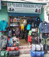
After booking my flight, I frantically ran around Kathmandu searching for a equipment for my trek. Here’s the full list of gear I needed:
Sleeping bag (-10 degree)
40-65 Litre backpack
5/6 pairs hiking socks
Down Jacket
Woolly hat
Sun hat
Sunglasses
Gloves
Fleece
Raincoat/windbreaker
2x pair hiking trousers
Pair sleeping pants
Boots/Trail Shoes
Sandles
First Aid Kit
2x 1 liter water bottles
Microfiber towel
3x t-shirts
Sleep shirt
Sleep shorts
Long sleeve shirt
Headlamp
Trekking poles
Sunglasses
Pair thermal underwear
Hand sanitizer
Chlorine dioxide droplets/purification tablets
High SPF sunscreen
Diamox (for altitude sickness)
Crampons
Ropes & Harness (for certain summits)
Camera/phone!
Cash! There are very few tea houses that accept debit/credit cards!
Logistics: Mapping out the Itinerary
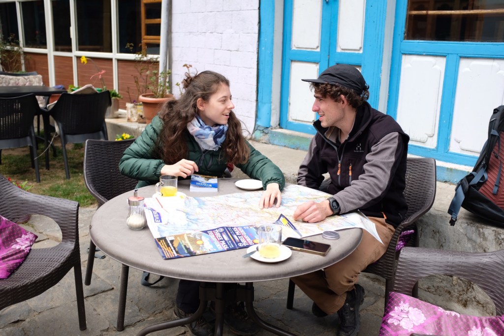
While the trek is challenging, if done properly and with the right preparation and a little caution, it can be done safely as a solo trek (ie. without a guide or a porter to carry your equipment). I decided given my experience, physical ability and research, I would carry my own gear and navigate the trail on my own. For the first time in my life, I purchased a physical map of the region, and, with a friend I met at the airport, mapped out the journey through Sagarmatha National Park.
Mapping out the trek
This was our itinerary (and a map to follow along):
Day 01 (3/15): 7:00am flight from Kathmandu to Lukla (2,830 m.) and trek to Phakding (2,640 m., 4-hour trek)
Day 02 (3/15): Trek From Phakding to Namche Bazzar. (3440m 5 hour)
Day 03 (3/16): Acclimatization Day In Namche
Day 04 (3/17): Trek from Namche Bazaar to Pangboche (3,985 m., 5-hour trek)
Day 05 (3/18): Acclimatization Day in Pangboche and day hike to Ama Dablam Basecamp & High Camp (5,100 m., 6-hour trek)
Day 06 (3/19): Trek from Pangboche to Dingboche (4,260 m., 5-hour trek)
Day 07 (3/20): Morning hike to Chukhung Ri viewpoint (4,750 m., 2-hour trek) and Trek to Lobuche (4,930 m. 5-hour trek).
Day 08 (3/21): Trek from Lobuche to Gorak Shep (5,170 m.) and continue to Everest Base Camp (5,364 m.,) and return to Gorakshep (6-hour trek)
Day 09 (3/22): 3:30am sunrise hike to Kalapathar (5,648 m., 2-hour trek) and trek down to Dughla (4,620 m., 6-hour trek)
Day 10 (3/23): Trek from Dughla through the Chola Pass (5,420 m.) to Gokyo (4,790 m., 8-hour trek).
Day 11 (3/24): Rest day in Gokyo with hike to summit Gokyo Ri (5,357 m., 3-hour hike)
Day 12 (3/25): Trek from Gokyo through the Reno Pass (5,417 m.) to Lunghden (4,380 m., 8-hour trek)
Day 13 (3/26): Trek down from Lunghden to Namche (3,443 m., 8-hour trek)
Day 14 (3/27): Trek down from Namche to Lukla (2,850 m., 8-hour trek)
Day 15 (3/28): 6:00am flight Lukla to Kathmandu
This plan was, admittedly, quite ambitious – but given our ability and determination, Sophie and I decided to attempt it, knowing that we could always cut back if necessary.
Logistics: The Flight from Kathmandu to Lukla
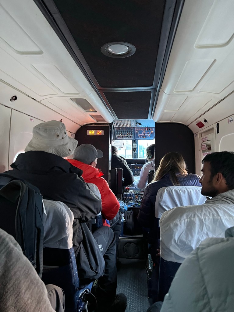
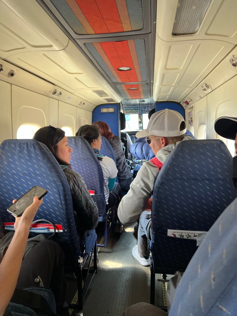
The most tenuous parts of the trek are the flights to and from Lukla. Fortunately, I was trekking in March, right before the start of the high season, so I did not have too much trouble securing my flights. These are very small planes with only 15 or so available seats – and the flights are notorious for being cancelled. If the weather conditions are not perfect, the flights will not take off due to the dangerous landscape of the Lukla Airport.
The flight lasts 25 minutes from take off to landing, covering 85 miles. It is important to take the earliest flight possible as it will give you the best chance of not having the flight cancelled due to weather. The Lukla airport has a reputation as the most dangerous in the world; however, while the flight may be more dangerous than the average commercial plane ride, it is relatively safe.
Logistics: Costs
Costs for the trip were actually quite reasonable and I ended up spending a little under $1,000 for the entire 2 weeks.
Transportation: Round trip flight Kathmandu-Lukla cost around $400 (expensive for a 25 minute flight!)
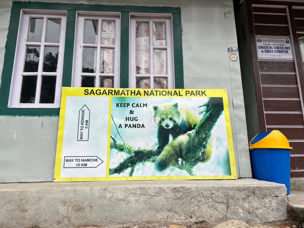
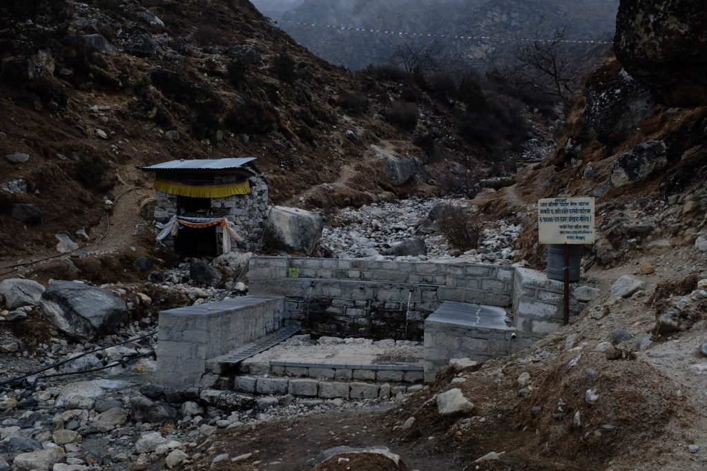
Permits: It is mandatory that foreign hikers obtain a “trekking permit” ($15) and a Sagarmatha National Park entrance ticket ($25)
Accommodation: Tea houses cost around $2-5 depending on how far along the trail you are. In the end, I spend about $60 in total.
Food & drink: This is the true expense – costing anywhere between $10-30 depending on where you are. In the end, I spent around $300 on food, tea, and snacks.
Showers: Given my minimal showering, this cost me about $10. More on that later…
Wifi & Charging: I splurged a bit here, getting wi-fi in several stops and charging my camera and phone fairly regularly. This cost me around $80 in the end.
Gear: I chose to purchase my gear and try to sell it when I returned, which turned out to be quite good for my wallet. I initially spend around $150 on gear, but after selling the superfluous items when I returned to Kathmandu, it ended up being closer to $90.
Logistics: Managing the Risks
Unlike some of the other hiking trips I have done, this journey came with a host risks that we had to consider. While the trek to EBC and through the passes isn’t inherently dangerous, it is vital that you take the mountains seriously. The trek has a variety of risks due to its location and altitude, and unfortunately, a fair number of people die or are seriously injured each year due to a lack of preparation or a lack of respect for the dangers. From the deaths that occur each year in the Sagarmatha National Park, most are due to altitude sickness or underlying conditions that get worse by the high altitude. During our trek, Sophie and I witnessed several cases of severe altitude sickness that required a helicopter medevac and, unfortunately, even a death from cerebral edema (a severe version of altitude sickness). In order to keep yourself safe, you must regularly check in on your body and mind, and take the symptoms of Altitude Sickness seriously.
Altitude Sickness is caused by gaining altitude too rapidly, which doesn’t allow the body enough time to adjust to reduced oxygen and changes in air pressure, and causes hypobaric hypoxia (a lack of oxygen reaching the tissues of the body). It can happen to anyone, no matter how fit or capable the person. Being young and in shape does not reduce your risk, and just because you haven’t experienced altitude sickness in the past, doesn’t mean you won’t experience it in future climbs. The only sure method of prevention is to take plenty of time to ascend, and consider taking diamox preventatively.
Diamox is a drug reduces the activity of a protein in your body, reducing the build-up of certain fluids in the body. It is most commonly used in people with certain types of glaucoma to reduce the amount of fluid in the eye, which decreases pressure inside the eye. It is also used as a diuretic (“water pill”) in people with congestive heart failure, to reduce the build-up of fluid in the body (edema). The medication is effective in preventing acute mountain sickness (AMS), and its more dangerous variations: high altitude pulmonary edema (HAPE), and high altitude cerebral edema (HACE).
Aside from Altitude Sickness, it is important to keep a regular check on the weather, which can be unpredictable and quite dangerous if not navigated with the appropriate gear. Ensuring that you are consuming enough calories at tea houses and drinking enough water is essential – as well as monitoring your body temperature in the early mornings and evenings. To keep an eye on our blood oxygen levels, I brought an pulse oximeter.
Finally, physical injuries are quite common on Himalayan treks, often a result of accidental falls on rocky or icy snow sections. It is therefore important to bring a first aid kit and keep a mental note of the nearest towns or clinics in case of an accident.
Have I frightened you yet?
I was worried at first, too – but, after two weeks, I can confidently say that this journey is safe and relatively accessible, so long as you take the risks seriously and DO NOT try to circumvent the dangers if/when they arise. In the mountains it is not shameful to submit to the environment – its instead honored and respected by both trekkers and locals. Safety and self-preservation always come first.
Okay, back to the fun parts!
Teahouse Trekking
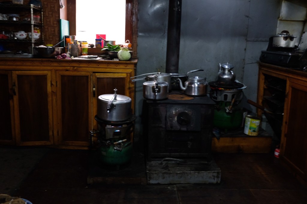
Overview
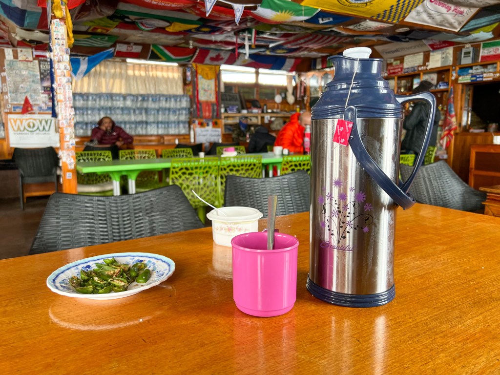
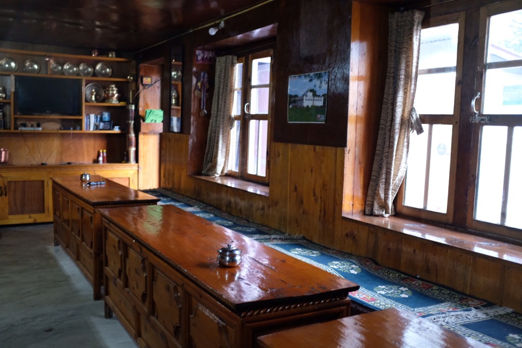
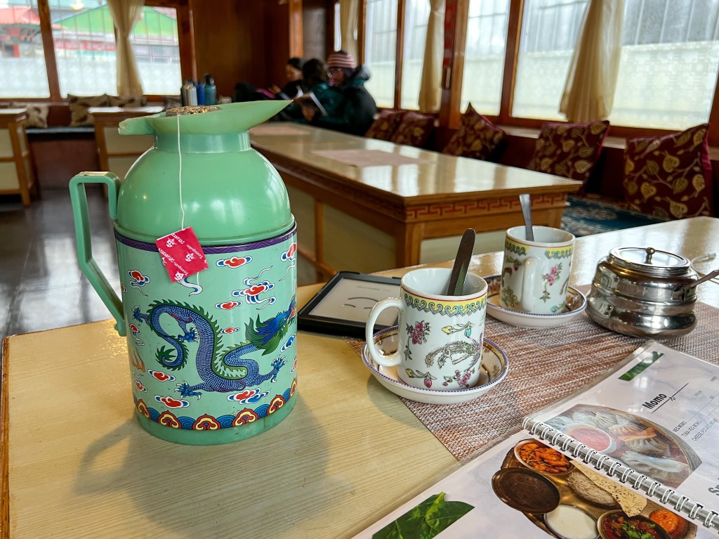
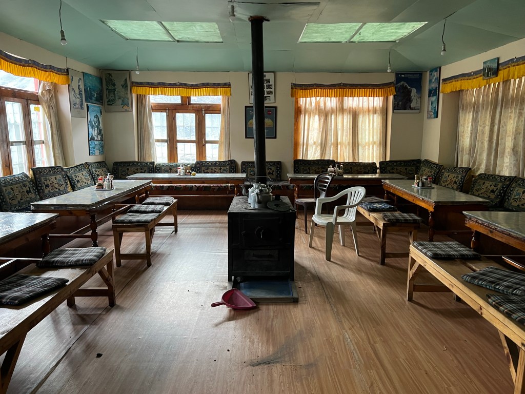
Throughout the duration of the trek, hikers sleep and eat in teahouse accommodations in the various villages. These teahouses offer basic accommodation options that range from being free to $5 per night (Rs 500). The one caveat is that these accommodation prices are based on the assumption that you eat your meals (and drink your tea) in the teahouse. While some teahouses may be slightly nicer than others, I found for the most part that they offered very similar services and amenities.
Guests have a small room with 1-2 beds with a thin mattress, some hooks to hang clothes on, and a garbage basket.
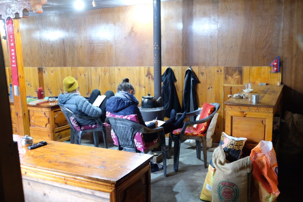
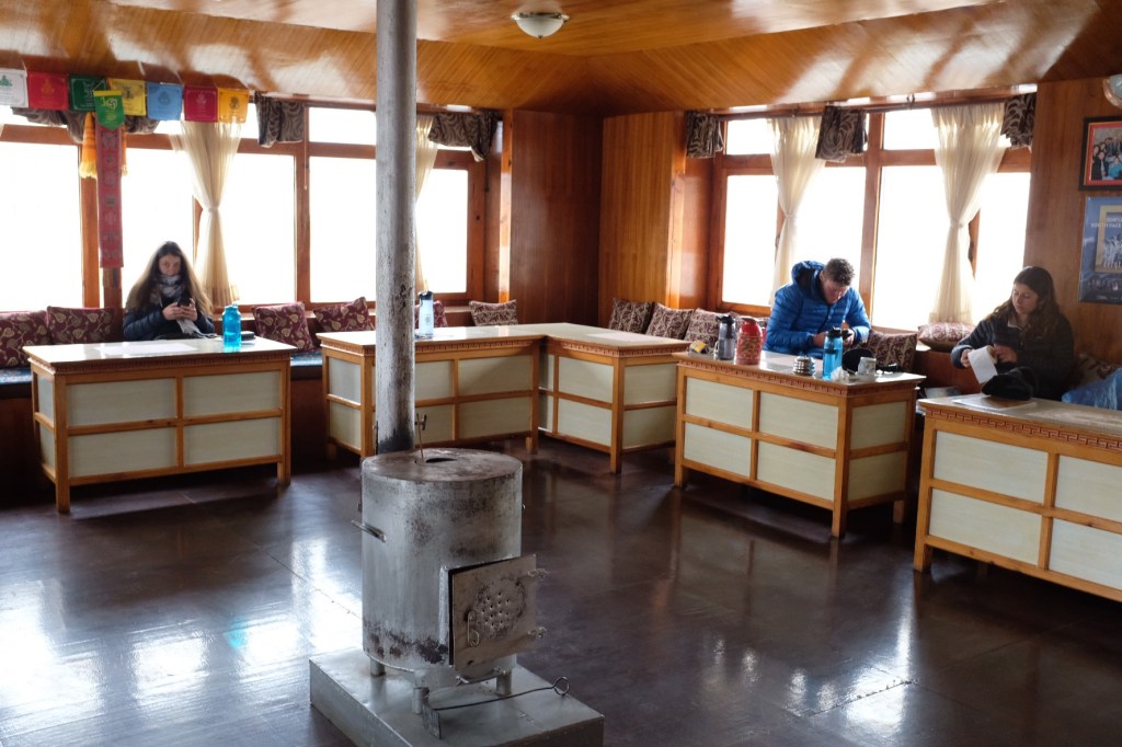
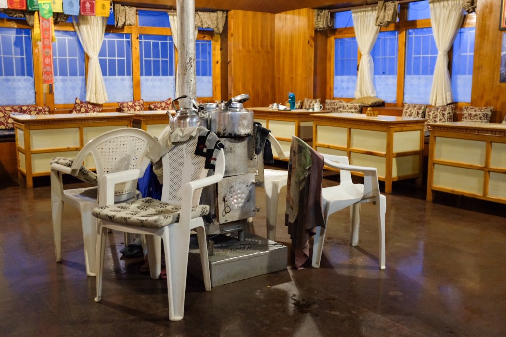
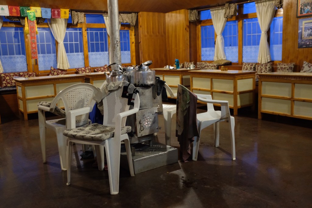
The main hangout spot in the teahouses is the common dining room area. Here is where all meals are served and where trekkers find the most important part of the teahouse – the fireplace! In the early mornings and in the evenings, the hosts will have the fire going (often with dried yak poop!) to help warm you up and dry your gear as you eat and hang out with the other trekkers.
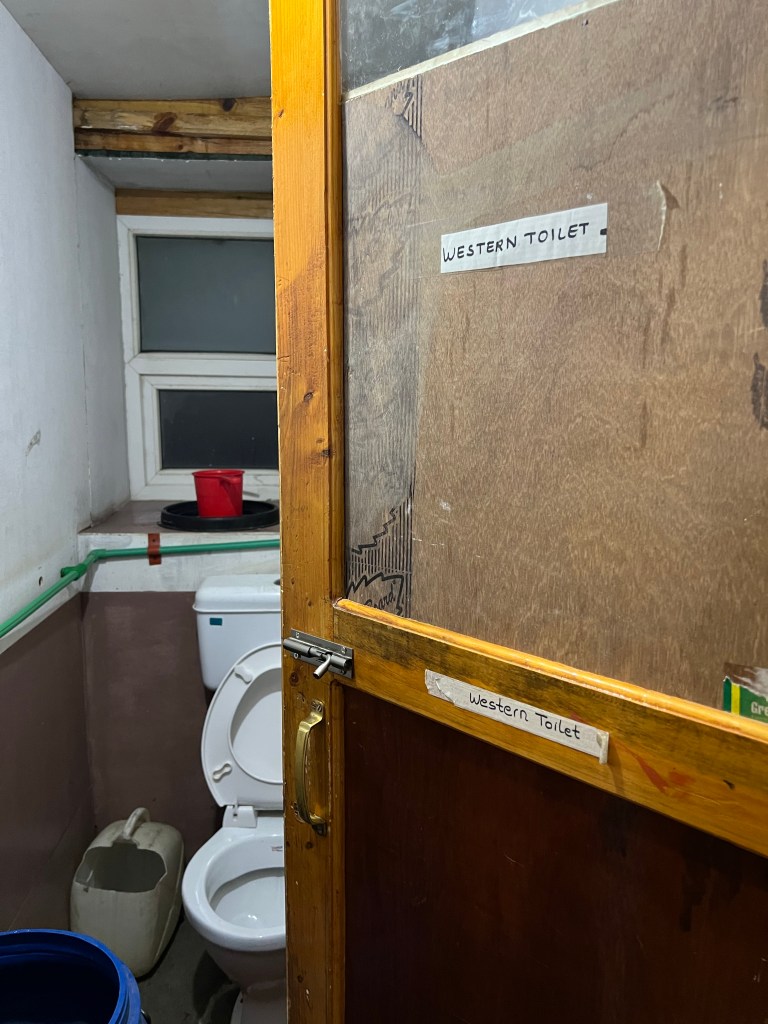
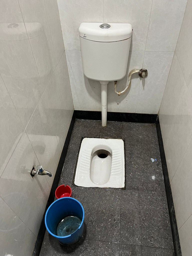
Outside of the rooms, there are shared restrooms. These may be western toilets, just squat toilets, or a mixture of both. Outside of the restroom area, there are sinks to wash your hands.
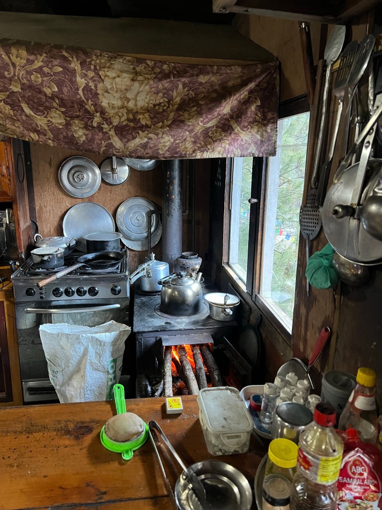
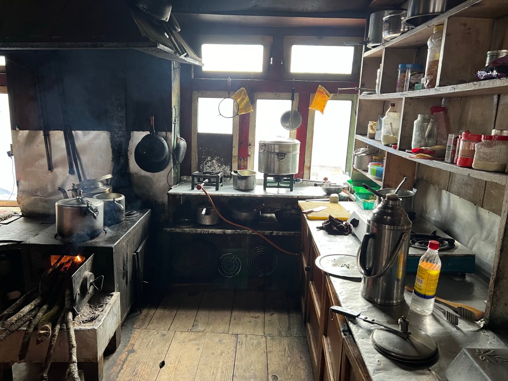
The best place to hang out in the teahouses in my opinion are the kitchens, where you can chat with the staff and sherpas passing through.
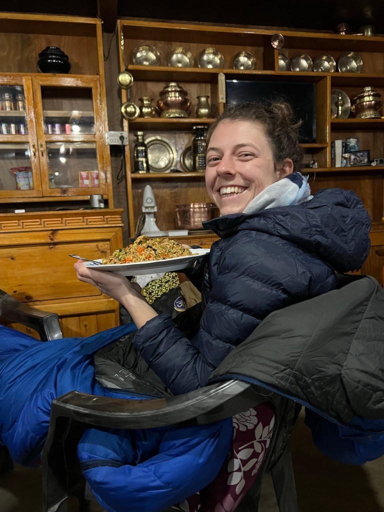
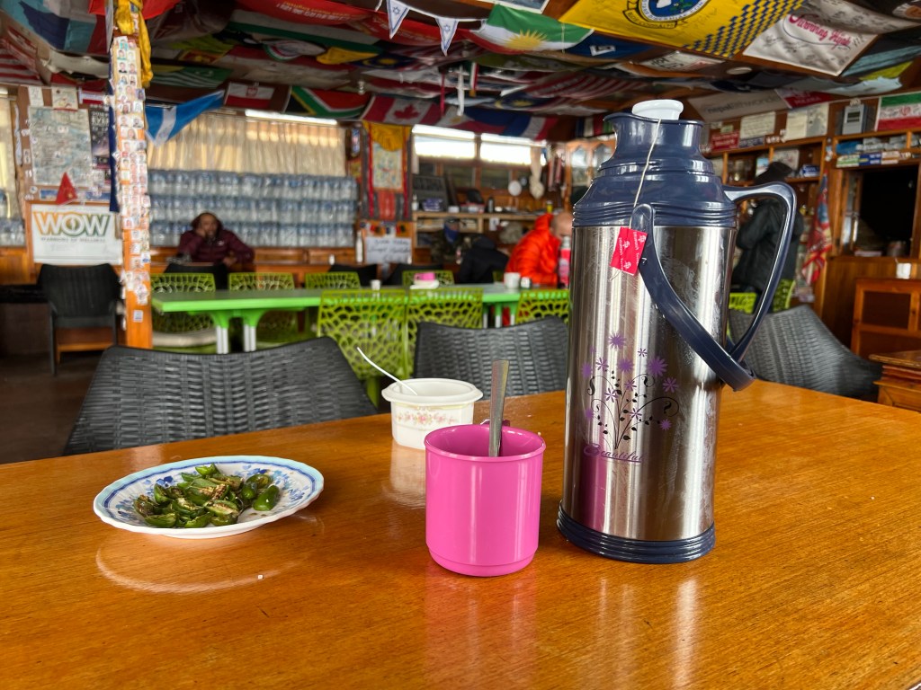
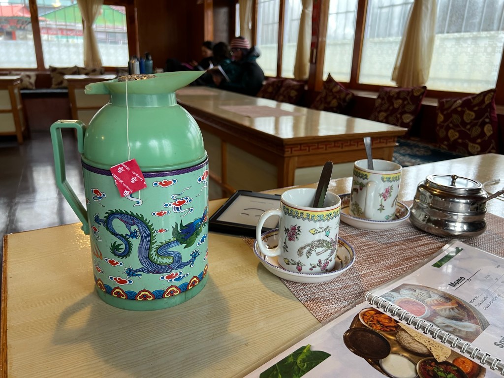
Food & Drink
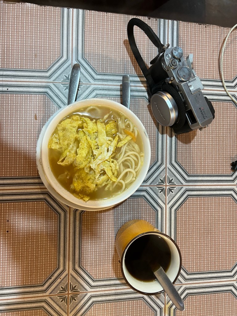
The great thing about teahouses is that they offer 3 meals a day with a whole variety of food options – and it always tasted great! Some classic options include:
Tibetan bread with jam or honey
Porridge
Eggs over chapati
Thukpa (Nepali noodle soup)
Momos (dumplings)
Spring Rolls
Curry rice
Egg Chowmein
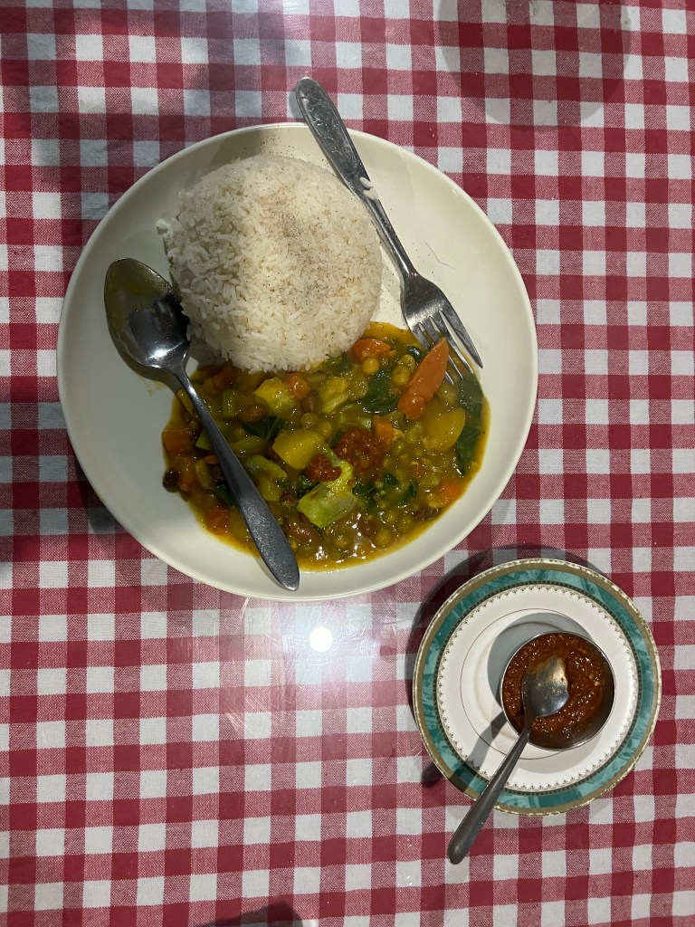
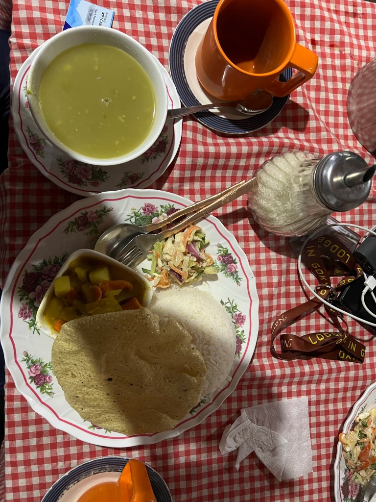
Dal Bhat (a local dish comprising of rice, vegetables, and lentils) – you can even get a free refill on this!
One good rule of thumb is to not eat any meat past Namche Bazar as it has a higher chance of being contaminated on the way up the mountains (remember, most food is brought up by sherpas or yaks!)
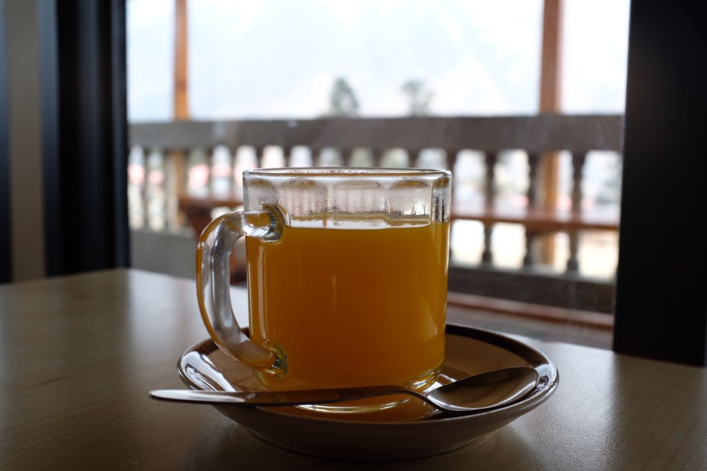
The tea houses, surprising or not, also offer a huge selection of teas! Some favorites include:
Ginger Lemon Honey
Black w/ lots of sugar
Mint
Jasmine
Strawberry
Masala
Sweet Lemon
Charging Electronics
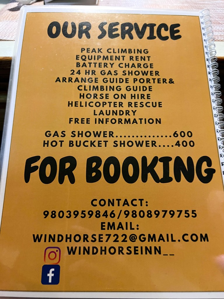
If you want to charge your phone, camera, power bank, etc…, you must give them to the teahouse, who will then charge your devices for you (for a fee, of course, as much of the electricity comes from solar power). This will also vary based on where you are on the trail but hikers can dexpect to pay around $4 for a phone charge, $6 for a camera charge, and $8 for a power bank charge.
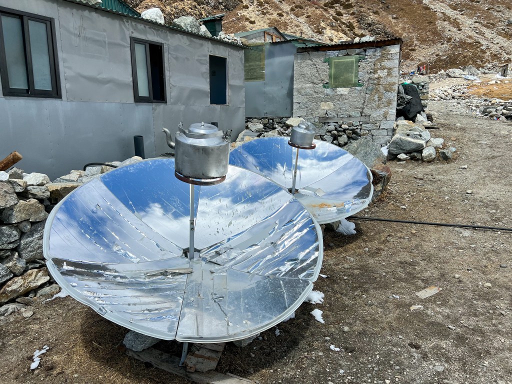
The sun heating pots of water for tea & soup!
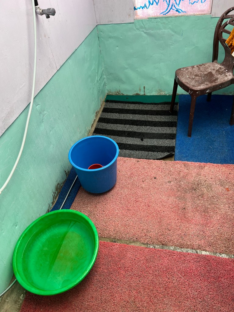
Showering
Many, but not all teahouses will have one or two hot showers (from solar power) that cost around $5 – $10 or so depending on where on the trail you are. Some teahouses offer the chance to purchase a “warm water washing bowl” for $2-$3, that can be used to wash your face and other parts of your body, and some even offer a “cold shower” alternative for free.
While I would not necessarily recommend this, my shower plan went as follows:
Day 1 – free cold shower
Day 2 – no shower
Day 3 – $5 hot shower
Days 3 & 4 – no shower
Day 5 – free cold shower
Day 5-13 – no shower!!
Day 14 – $5 hot shower
Day 15 – free hot shower in Kathmandu
I would argue it was too cold to smell any of the accumulated dirt and sweat but your mileage may vary.
Western toilet 🙂Cold bucket showerSquatting toilet
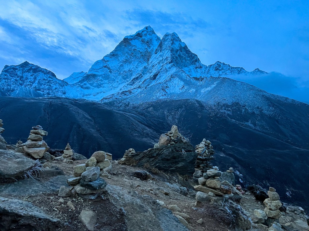
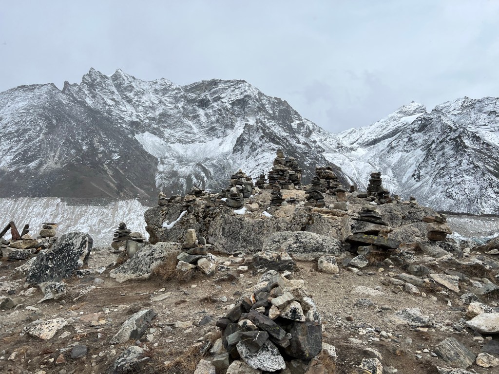
Highlights of the Trek
Here are some of my favorite parts of the 15 day trek – I will discuss them in more detail in the next couple posts.
Everest View Hotel (day hike from Namche) – the first view of Mount Everest!
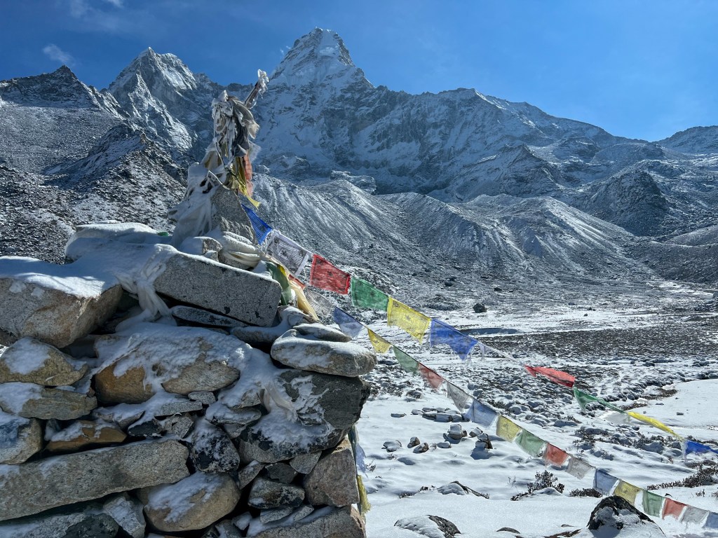
Ama Dablam base camp & high camp (day hike from Pangboche) – views of Ama Dablam mountain- my favorite in the region and the mountain I plan to climb one day
Chukhung Ri viewpoint (day hike from Dingboche)
Everest Base Camp – to say you did it 🙂
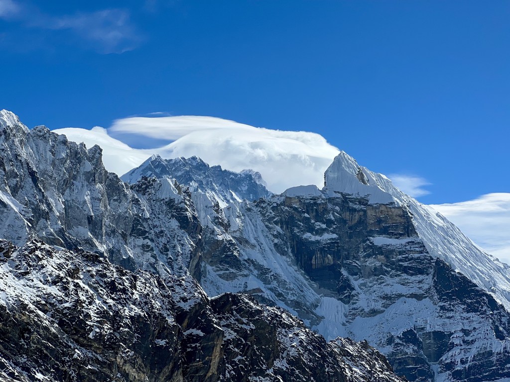
Kalapathar – for unobstructed views of Everest, Lhoste, Nupla, Changtse Peak to your front and Ama Dablam, Peak 41, Arakam Tse, and half a dozen other peaks to your right.
Chola Pass Peak – for views of everest, Cho You, Gyanchung Kant, Lhoste, Makalu, Ama Dablam, Kanchenjunga, Nuptse, Mt. Pumori, and many more from the Kumbu Himalaya range.
Gokyo Ri Peak – for more views of everest overlooking the Gokyo hamlet, Ngozumpa glacier, the Tibetan border, and the oligotrophic Gokyo lakes.
Renjo Pass Peak – arguably the best views of the Khumbu Himalaya range
Everest View HotellAma Dablam Base Camp & High CampChukhung Ri ViewpointEverest Base CampKalapatharChola PassGokyo RiRenjo Pass
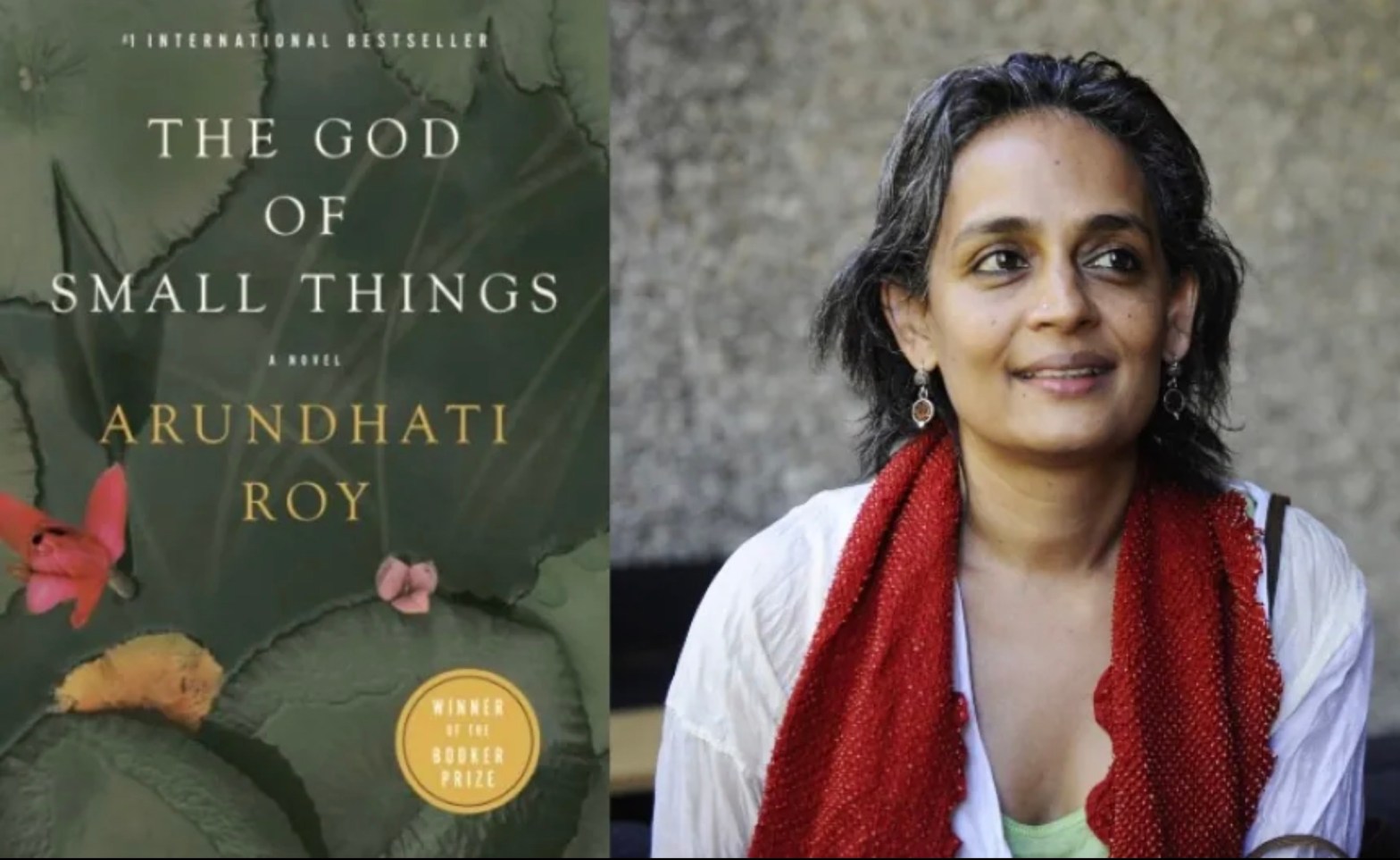
The God of Small Things is a family drama novel written by Indian author Arundhati Roy. Her debut novel published in 1997, the book covers the childhood experiences of fraternal twins, Estha & Rahel, whose lives are significantly impacted by the “Love Laws” prevalent in 1960s India – basically, the societal regulations behind who one could marry and be with.
Arundhati Roy is an Indian writer who is also an activist who focuses on issues related to social justice and economic inequality. In addition tor winning the Booker Prize in 1997 for her novel, Roy also received the Cultural freedom Prize from the Lannan Foundation in 2002.
The story is set in Aymanam, India – offering a disjointed narrative as it shifts between 1969, when the fraternal twins are 7 years old, and 19993, when they are reunited.
The novel spends a lot of time discussing Indian politics and caste relations in the latter half of the 20th century. Roy evaluates the post-colonial world India finds itself in, and the views Indians have towards their former British colonists. The novel explores an inferiority complex between Untouchables and Touchables in Ayemenem through the character of Vellya Paapen, who is willing to kill his son, Velutha, when he discovers that Velutha has inter-caste sexual relations.
There is a lot here – and far too much that I have time to discuss in this short blog post (if you cannot tell from my scattered train-of-thought writing). What I think is most beautiful about her story is how Roy examines every character with a genuine warmth. Their motivations, insecurities and unfulfilled dreams are offered to the reader with the upmost care in service of depicting a universal human tragedy. Ironically, the “small things” that the novel depicts have huge consequences for the individual characters in the history. For example, the loss of young Baby Kochamma’s love – an Irish Catholic priest – comes to define the rest of her life as a bitter, spiteful, and lonely woman.
I think the idea that small events can play a significant role in the trajectory of one’s life is quite compelling – and it emphasizes the significance of cultural precedent on the path of the people encompassed by it.
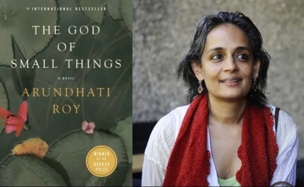
This concept becomes even more interesting when I apply it to the many experiences I had with locals in India. Nearly all of the interactions I had were with people who genuinely wanted to offer me the best side of their country – from smiles & hellos, to store owners always willing to help me with directions, to patrons offering to pay for my meals at restaurants. Never, in these gestures of kindness, was there a quid pro quo involved – and that level of generosity was quite unique to my time in India. I believe each of these people understand how powerful these “small” gestures can be in impacting a person’s experience – and how these individual experiences can build to have a tremendous influence on a person’s life.
One day, I was on a bus headed back to Agra and I met an Engineering student studying in Delhi. After getting to know him a bit, I asked him, quite perplexed, “Why are Indians so kindhearted and generous to me, never asking for something in return?”. And he told me, simply and quite proudly, that India has a tradition and culture of giving. He went on to explain that a critical part of Indian culture is that it is very, VERY, important to respect others, particularly those who are in need (ie. including foreigners).
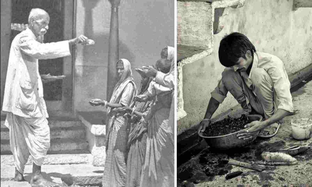
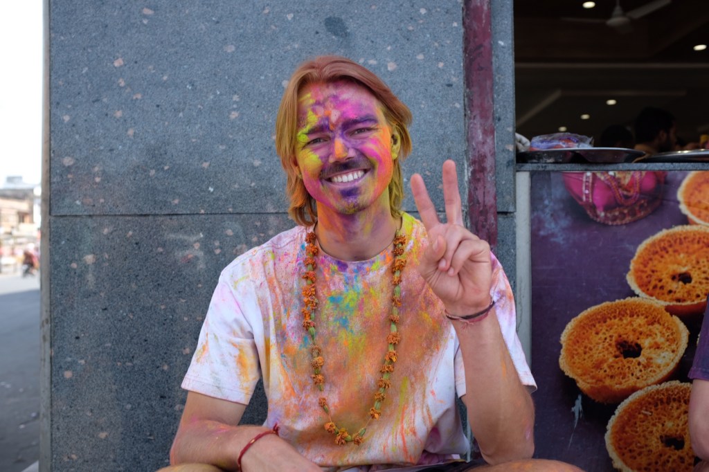
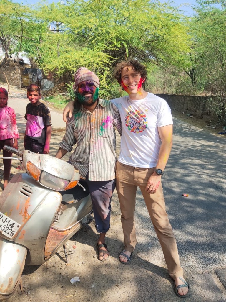
A few days later, during Holi, I met a guy around my age celebrating on the street. After smearing some dye on each others’ faces, I told him how much I liked his hat. He immediately proceeded to take his hat off and put it on my head. I quickly reacted, taking it off and handing it back to him – insisting that I couldn’t take it from him. After a few minutes of this back and forth, he said to me that there is a saying in India: “Atithi Devo Bhava,” meaning a Guest is equivalent to God. He said that hospitality was more important than anything to him, and that it brought him immense joy, on Holi, to offer generosity to a guest in his country.
I will end my monologue here as I need to pack for my flight to Lukla tomorrow morning to start the EBC trek. But I hope that in these last few posts I was able to depict how wonderful I found India to be – in the environments and food, but especially in my interactions with the people that make up the country. I know I only got a taste of what the country has to offer – and its a place I know I will be returning to.
Over the next couple weeks, I will be reading Arresting God in Kathmandu by Samrat Upadhyay.
The next day, I catch a train from Delhi to Agra, about 150 miles Southeast.
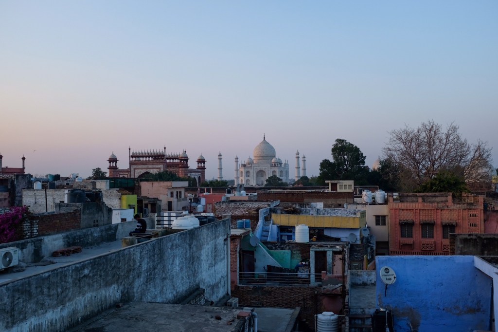
Agra & the Taj Mahal
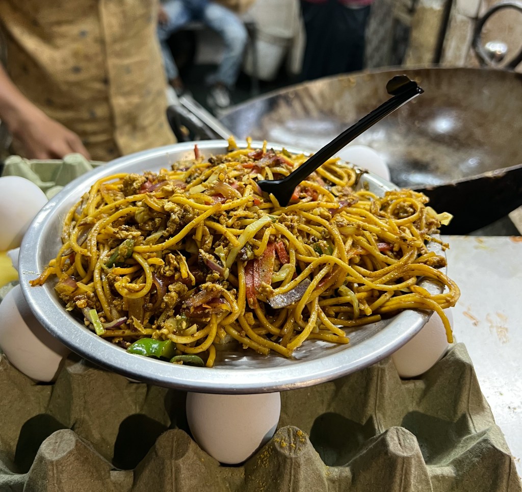
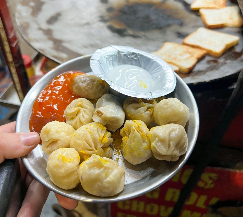
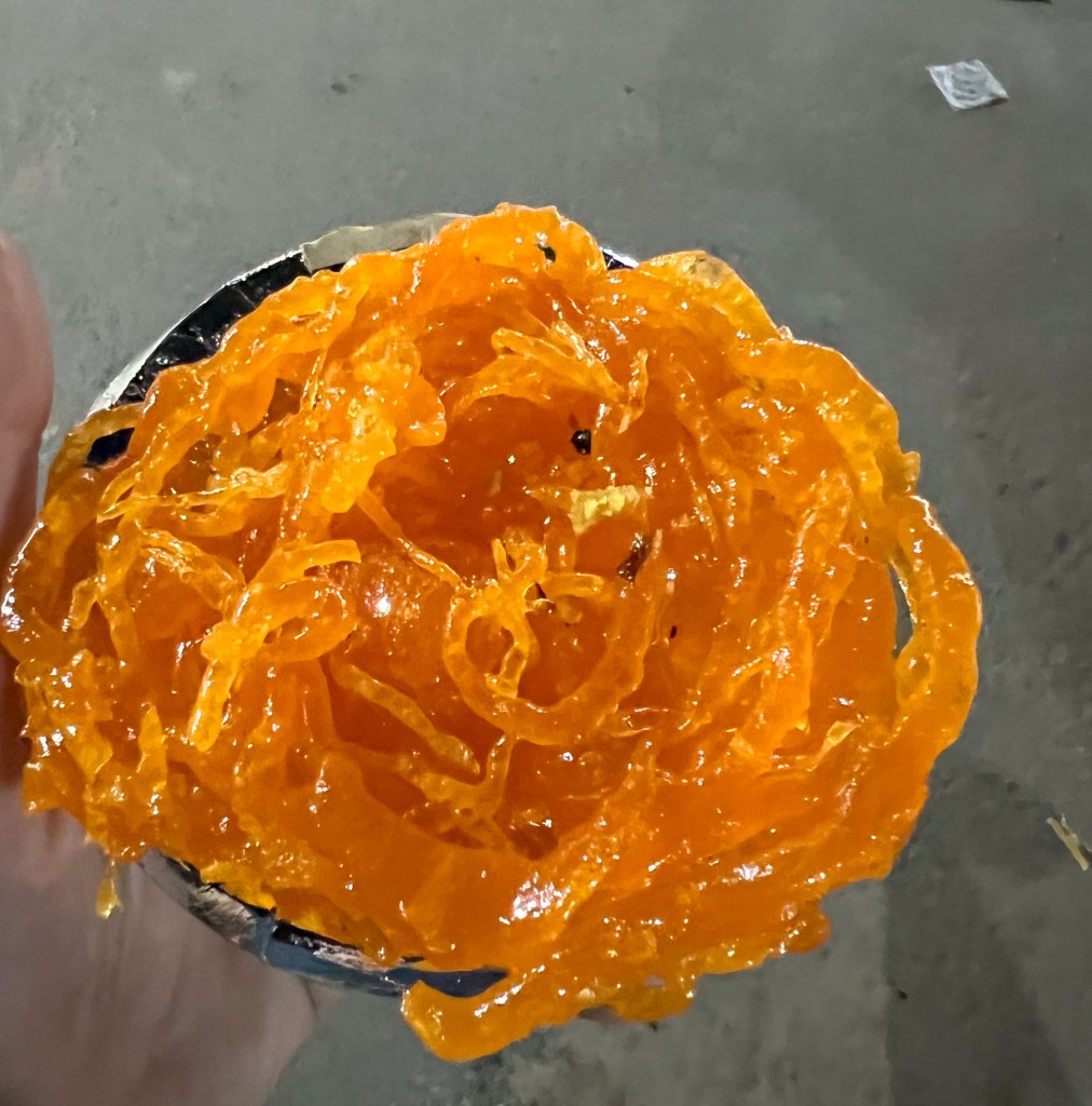
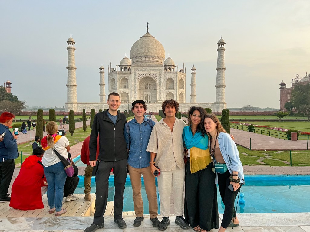
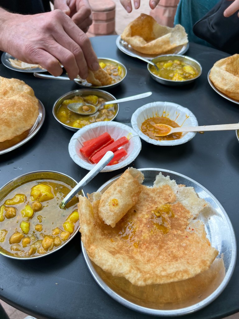
Arriving in the evening, I met up with a few travelers I befriended at the previous hostel in Delhi (almost all backpackers on the Golden Triangle do the same route). Hungry, we all went out to try some of the city’s street food. It doesn’t look like much, but these momo, noodles, and Jalebi were packed with flavor, and cost just 70 rupees in total ($0.85).
Noodles Stir FryMomosJalebi
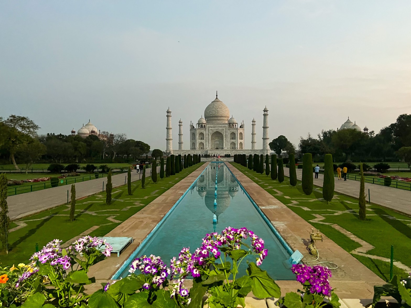
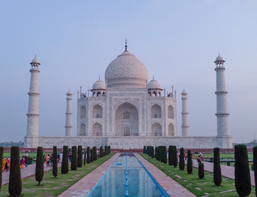
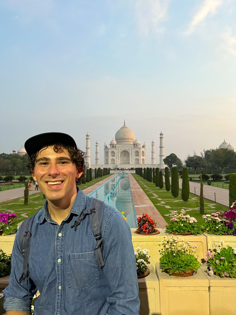
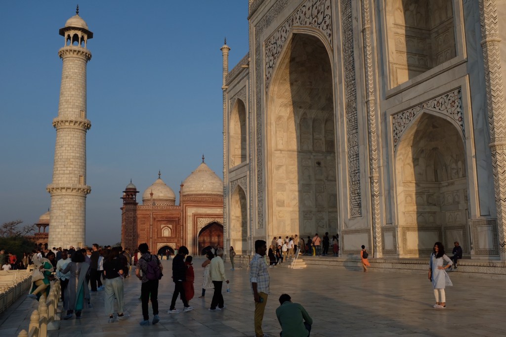
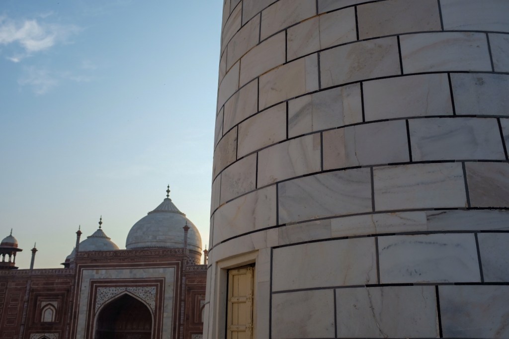
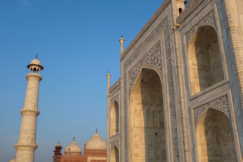
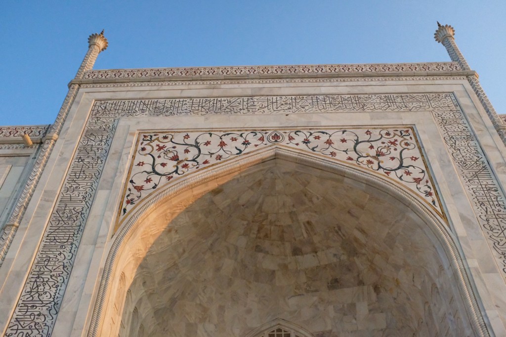
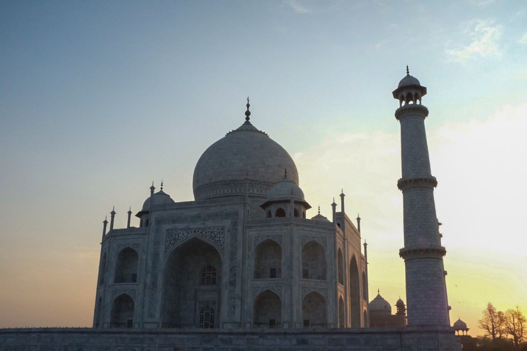
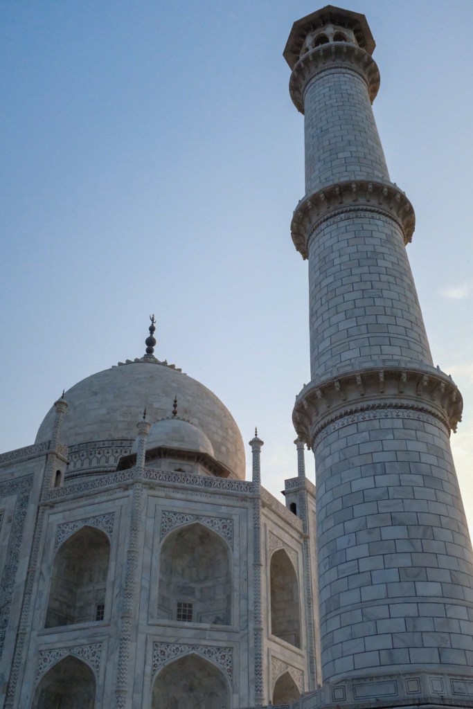
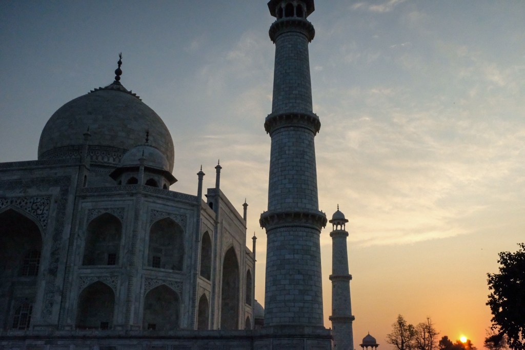
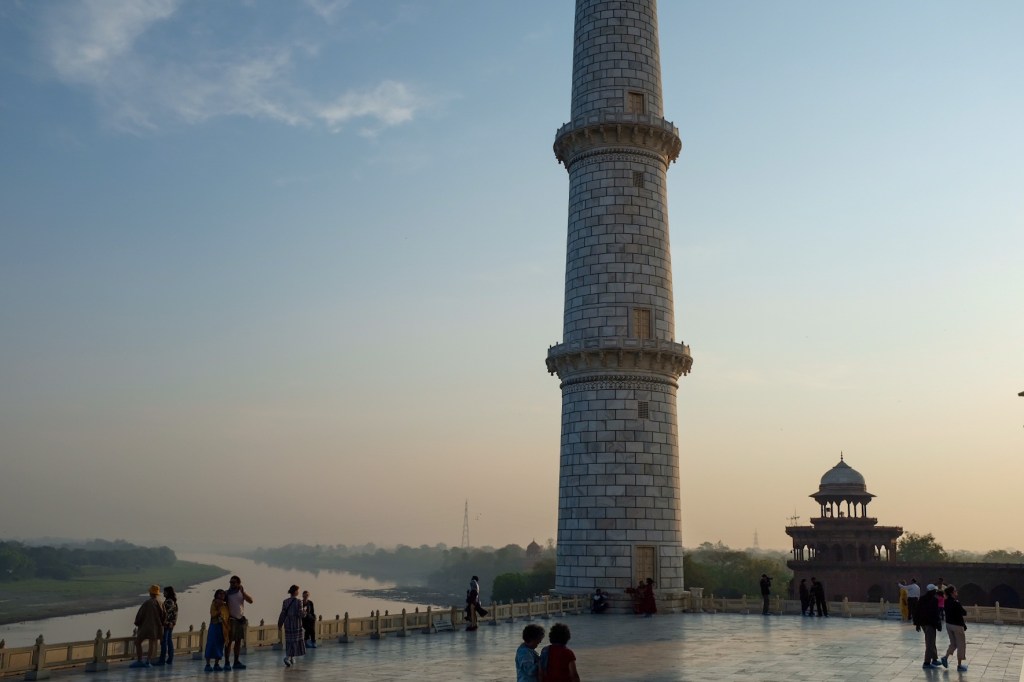
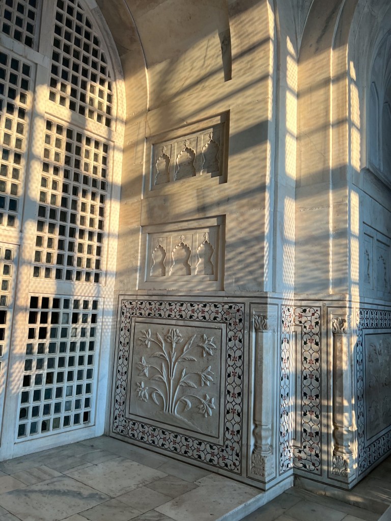
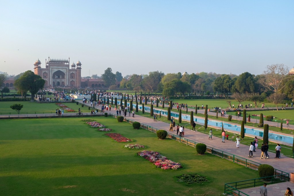
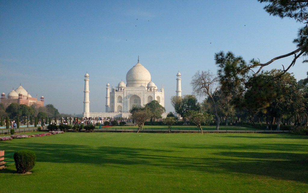
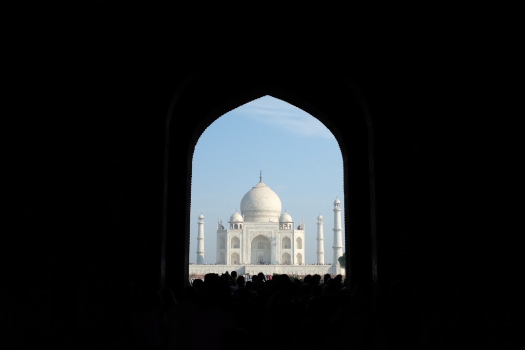
The next day, we got up bright and early to beat the crowds and watch the sunrise at the Taj Mahal – and the sinking mausoleum did not disappoint.
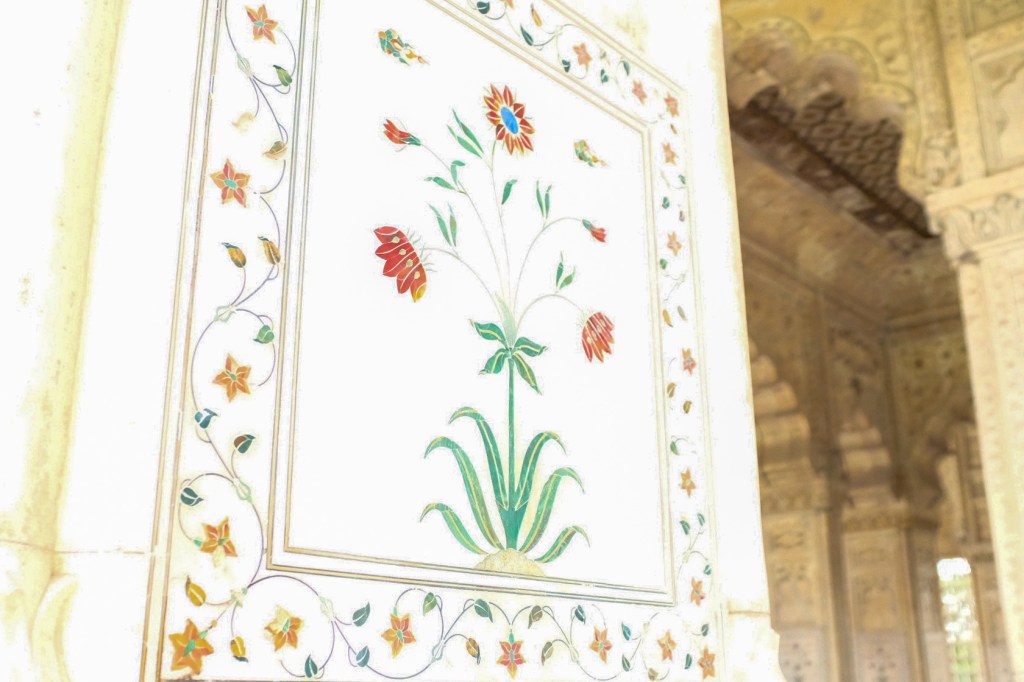
The Taj Mahal was commissioned in 1632 by the Mughal emperor, Shah Jahan, who ruled from 1628 until his death in 1658. He built the ivory-white marble mausoleum on the south bank of the Yamuna river to house the tomb of his favorite wife, Mumtaz Mahal, who died during childbirth. The story goes that Shah Jahan planned a mausoleum to be built in black marble across the Yamuna river, with the two structures connected by a bridge, but that he died before it could be built after being dethroned by his son.
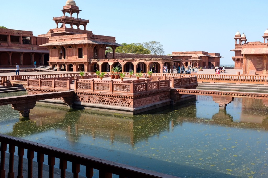
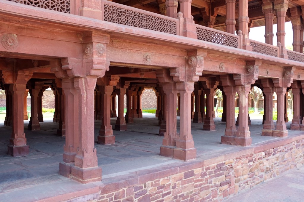
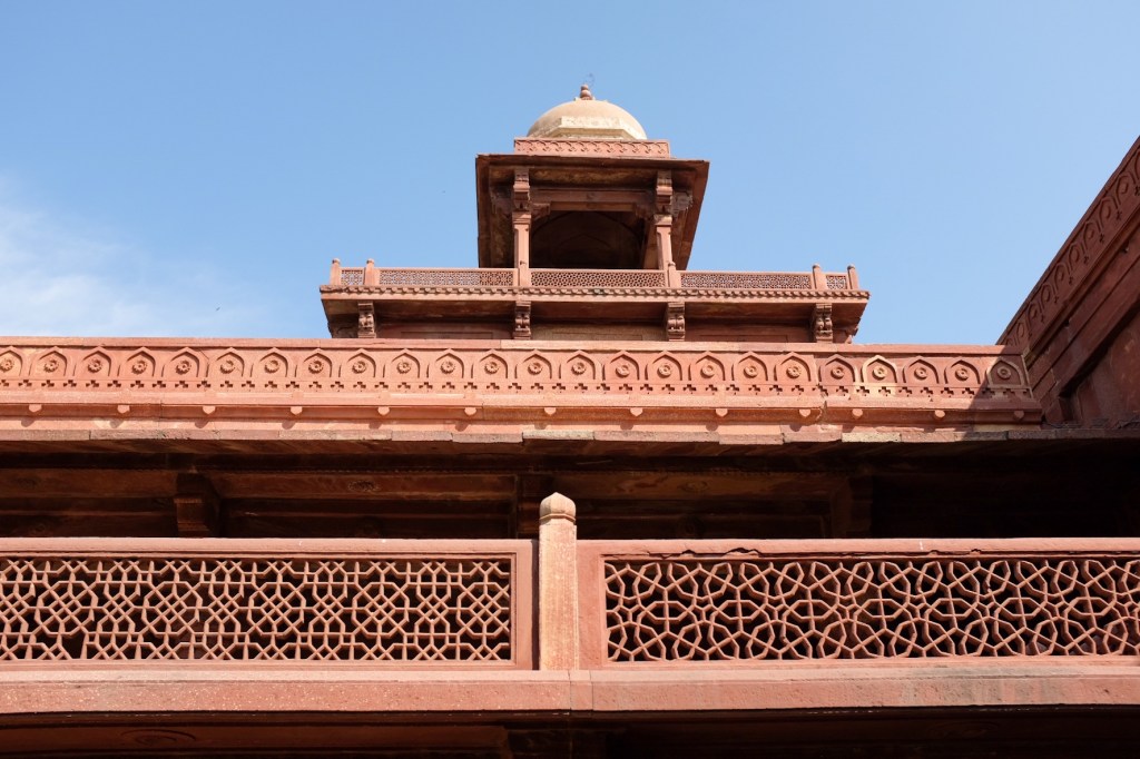
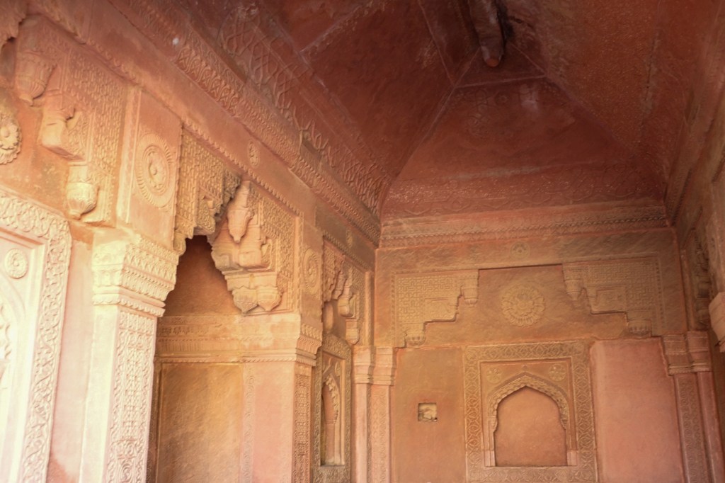
In the afternoon, we headed 20 miles West of Agra to a small city called Fatepur Sikri.
The city was founded as the capital of the Mughal Empire in 1571 by Emperor Akbar the Great. His palace and the surrounding city served this role for just 14 years, when Akbar abandoned it due to a campaign in Punjab. It is said that the palace was built for Akbar’s wife, Jodha Akbar, who was Hindu (the Mughals were largely Muslim). She was allowed to practice her religion and there is a small temple of Lord Krishna in the complex.
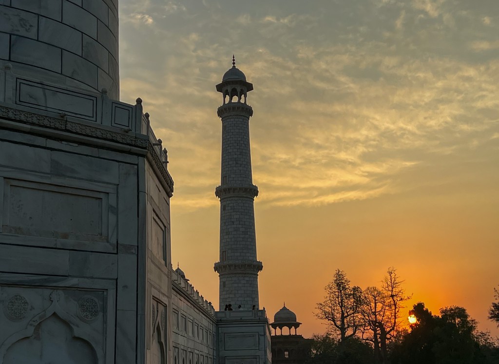
We finished the day in the watching the sunset over the Taj Mahal at a rooftop bar and exploring to the Subhash Bazaar, a famous shopping center best phone for the huge variety of silk products.
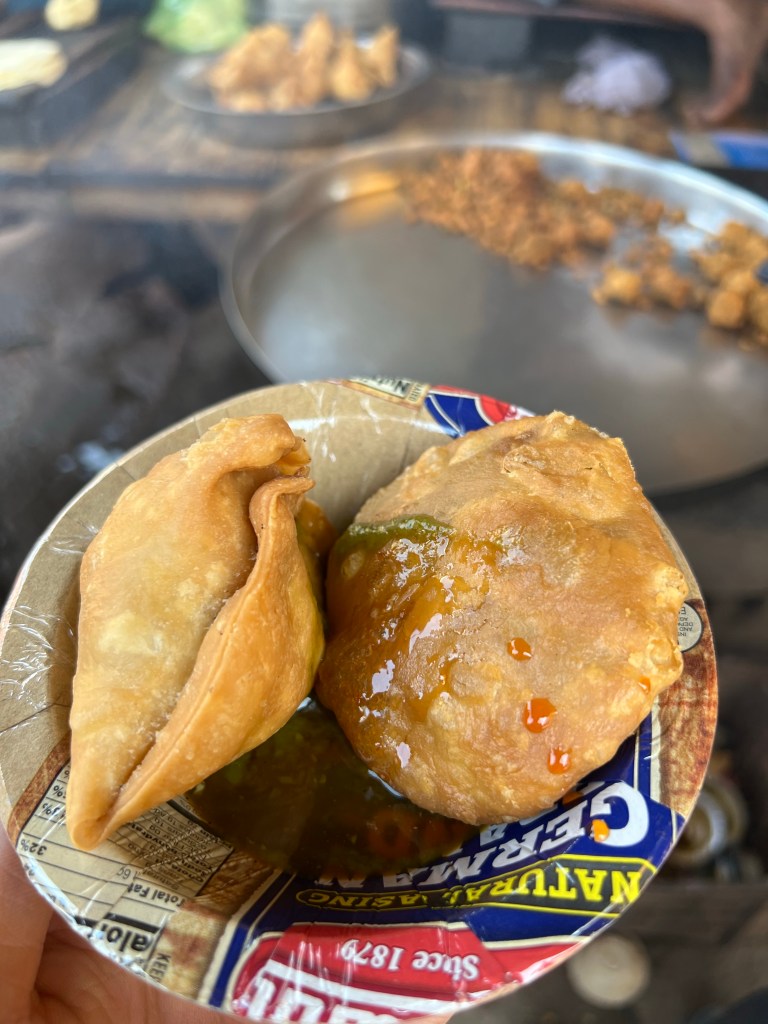
Samosas w/ green chili & tamarind chutney sauce
The next day, I said goodbye to the group and caught a train to Jaipur, about 150 miles west of Agra.
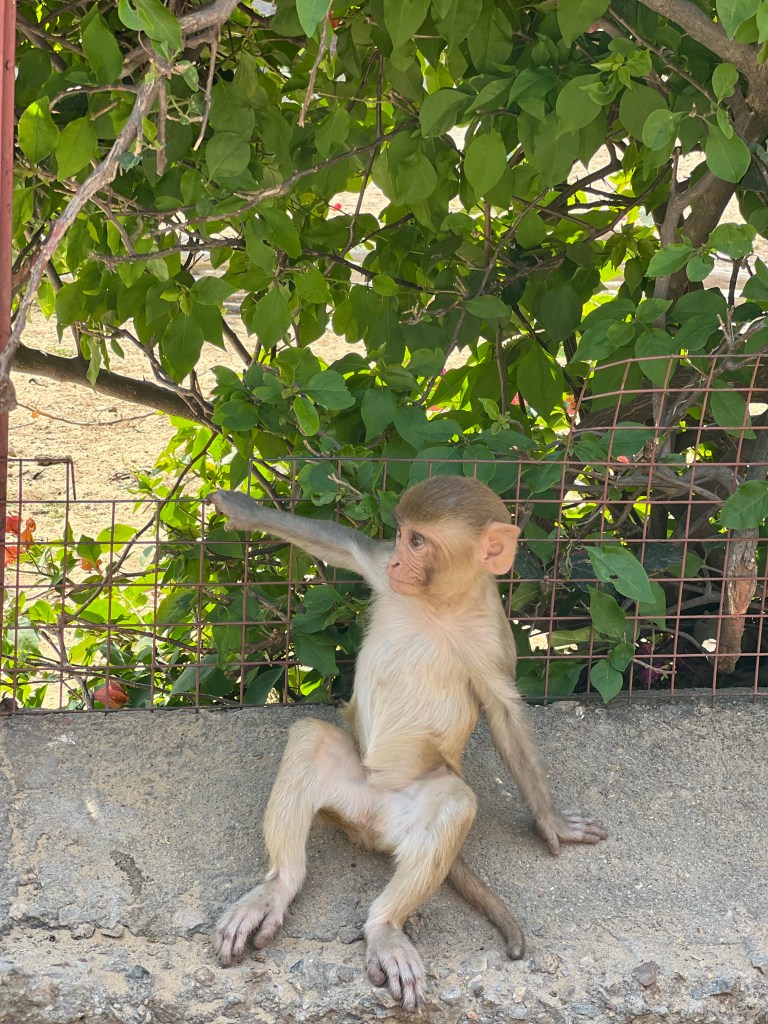
Early morning ChaiSpot the monkeys!
Quickly, before I wrap up Agra, I’d like to talk a bit about the poverty we witnessed in Agra, just a few hundred feet from the Taj Mahal. I didn’t think it appropriate to take photos of people’s homes, but I did take a video of this river we passed by – the most filth I’ve ever seen in a congested city.
It’s really quite sad, especially when you consider the wealth the Taj Mahal generates (it is the highest revenue generating monument in India, even after maintenance costs). The contrast between the immensely well-maintained structure and grounds of the Taj Mahal and the dilapidated city that surrounds it really demonstrated to me the deceptive imagine tourism can offer if you don’t go beyond the designated lines set by the industry. I’m not quite sure what the solution to this could be – should a portion of the ticket price (around $15 for foreigners) go to the city itself? Should the admission cost be increased to supplement support for the community? I can’t speak on how public policy in India operates and the immense challenges it faces but I feel as though there is something that can be done here.
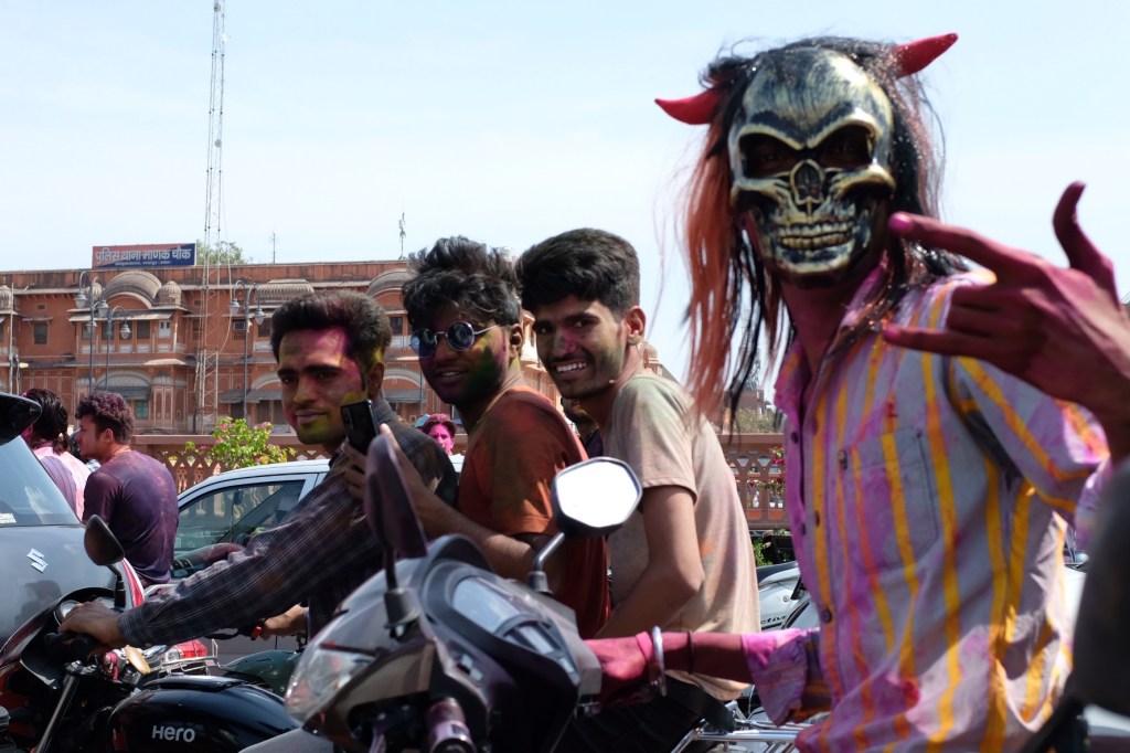
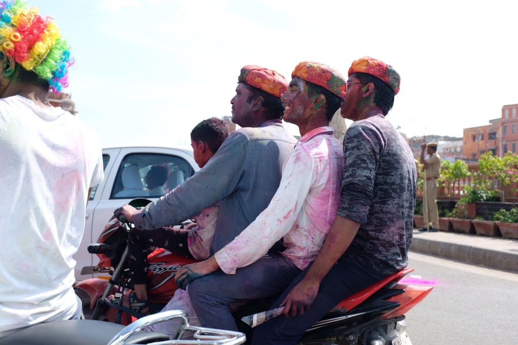
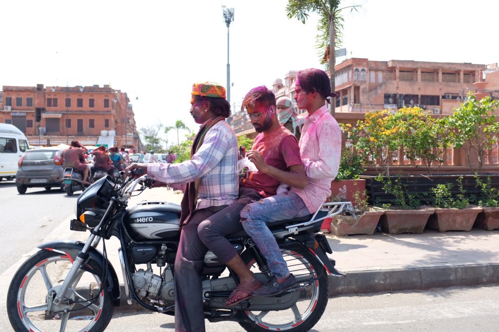
Jaipur & Holi
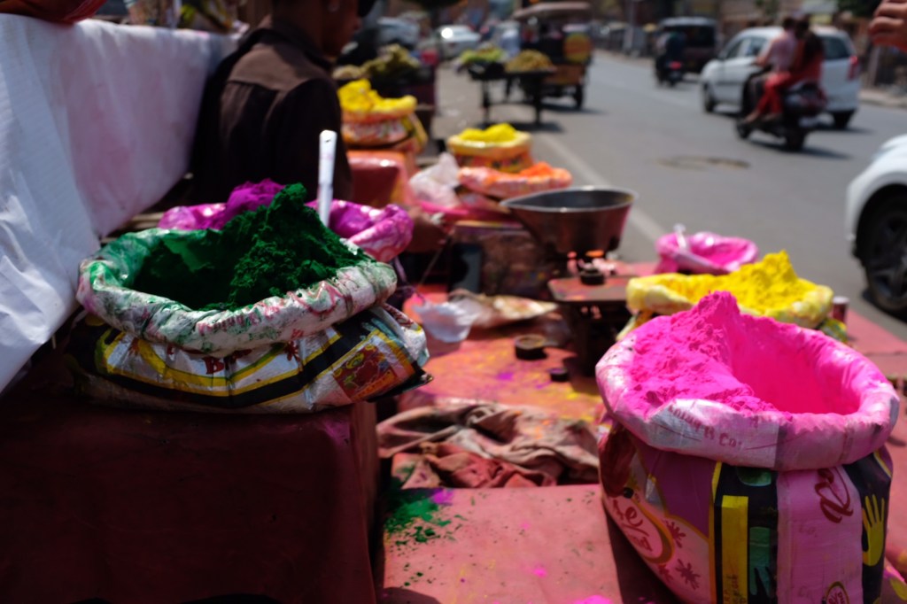
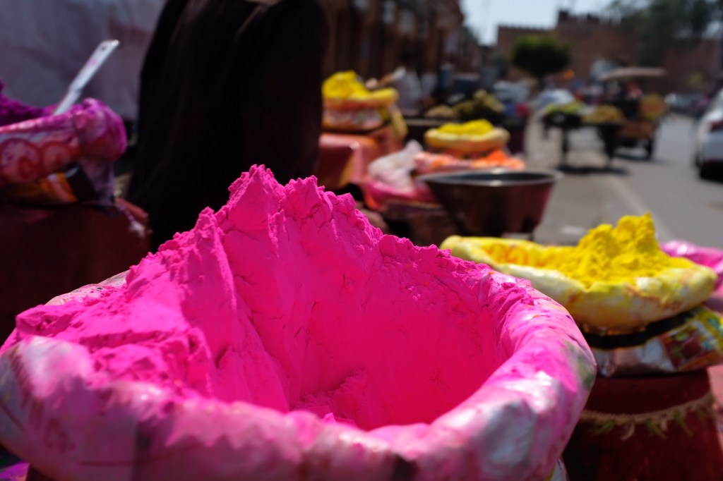
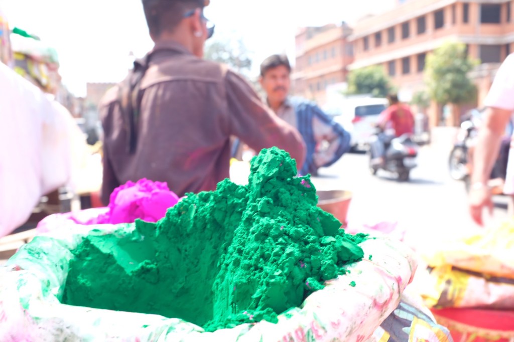
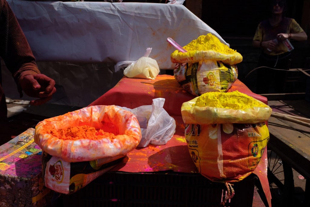
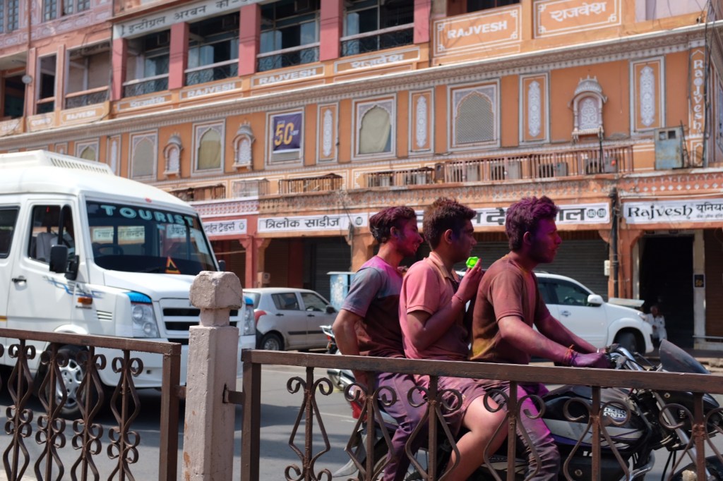
Jaipur, the “Pink City” for its trademark building color, is the capital of India’s Rajasthan state. The city holds the distinction of being the first planned city in India, renounced for its colorful gems.
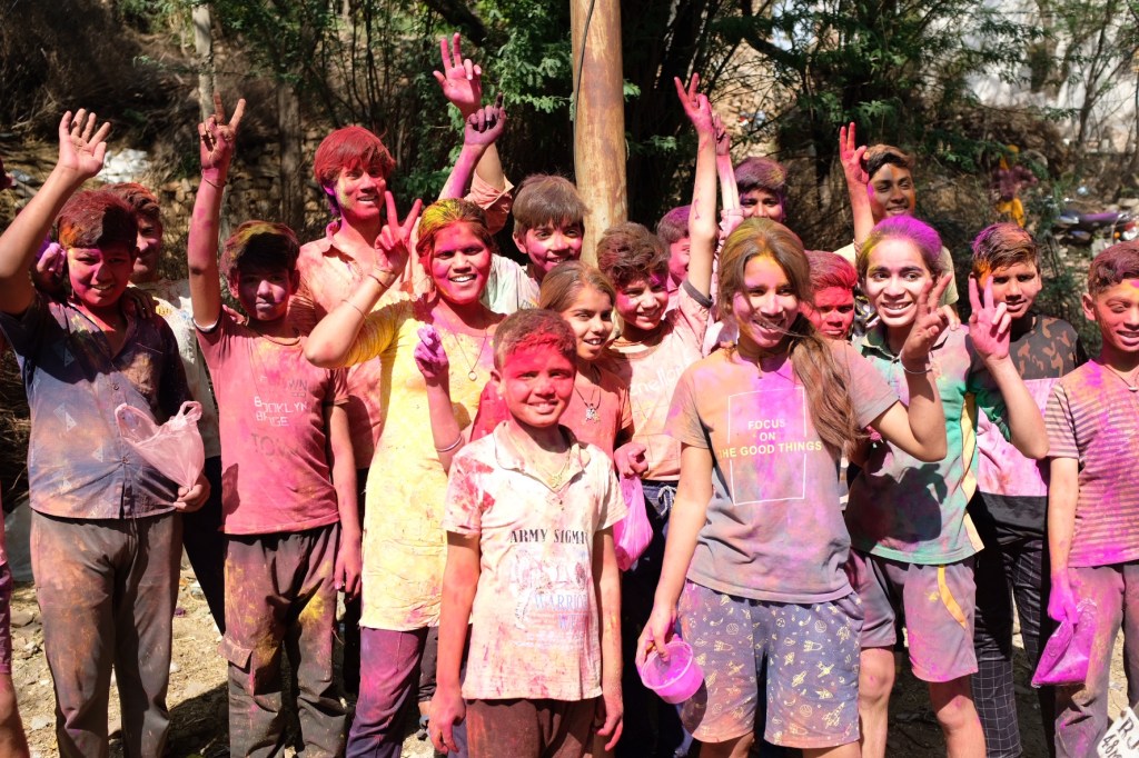
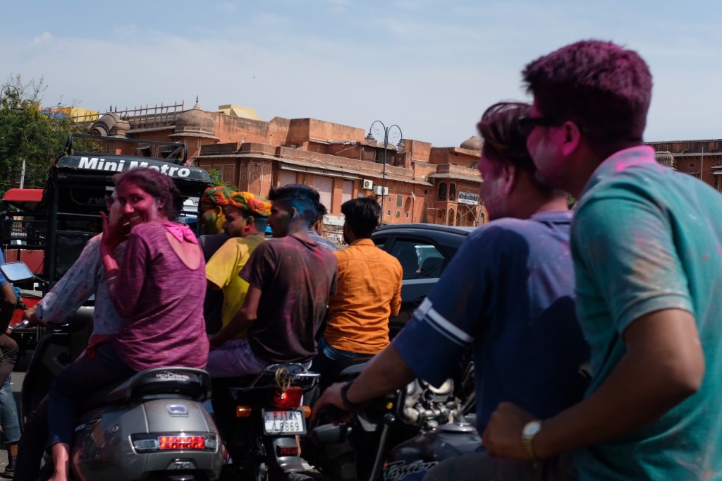
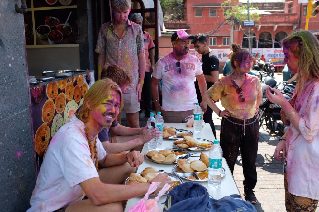
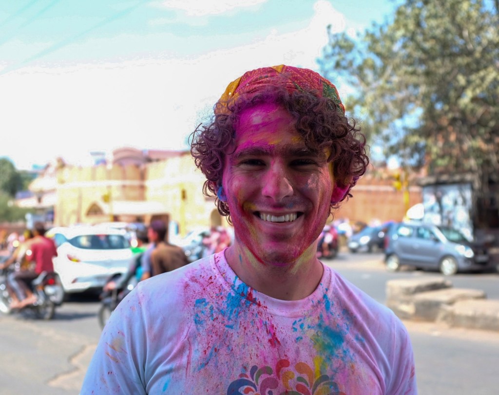
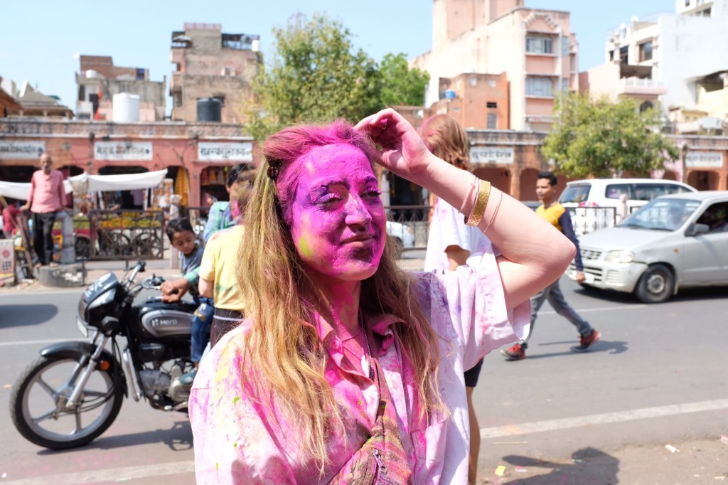
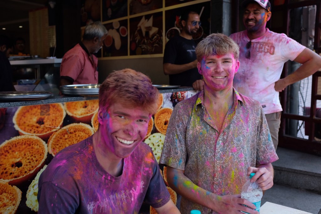
It is also where I celebrated Holi!
By 9:00am, the streets were filled with pedestrians, people on motorcycles and in cars, all throwing dyed powders onto each other – and me.
In the afternoon, we grabbed some food in our chalked skin.
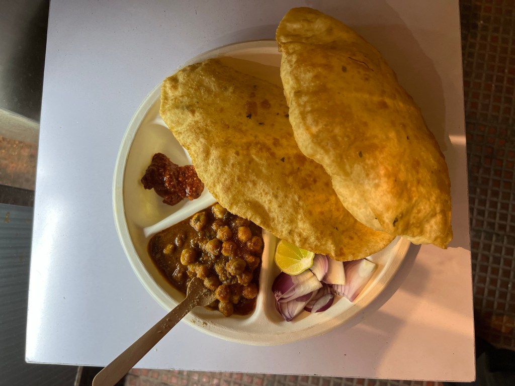
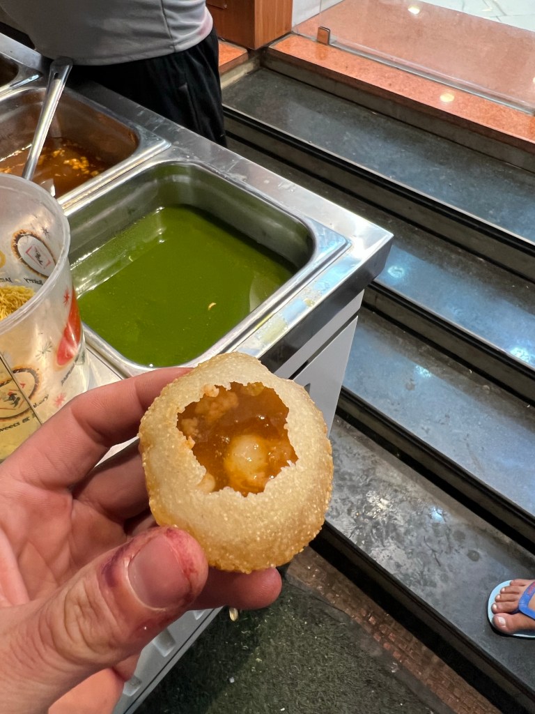
Channa BhatureGolgappaI have no idea what this was but it was good!
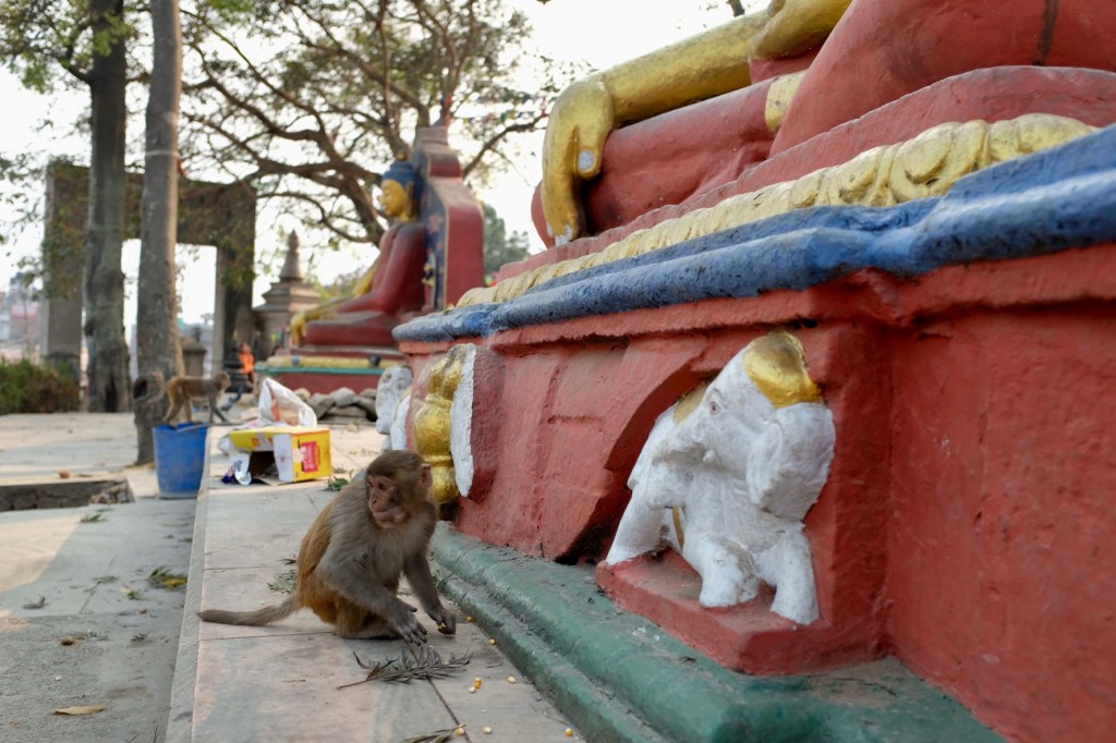
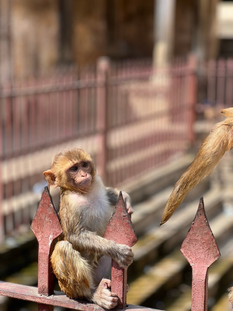
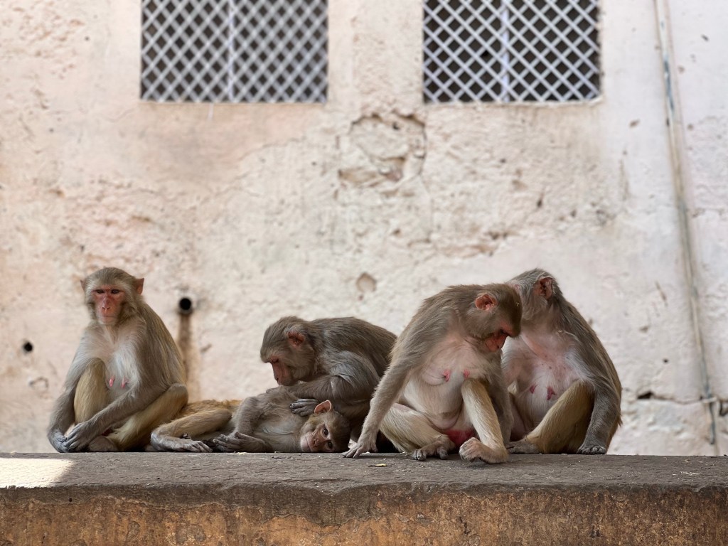
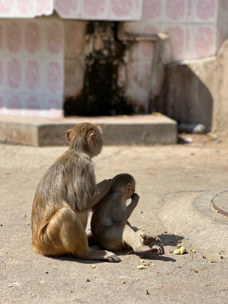
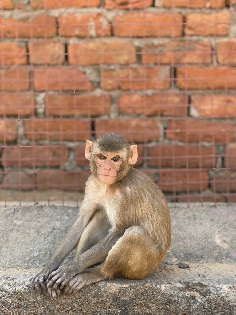
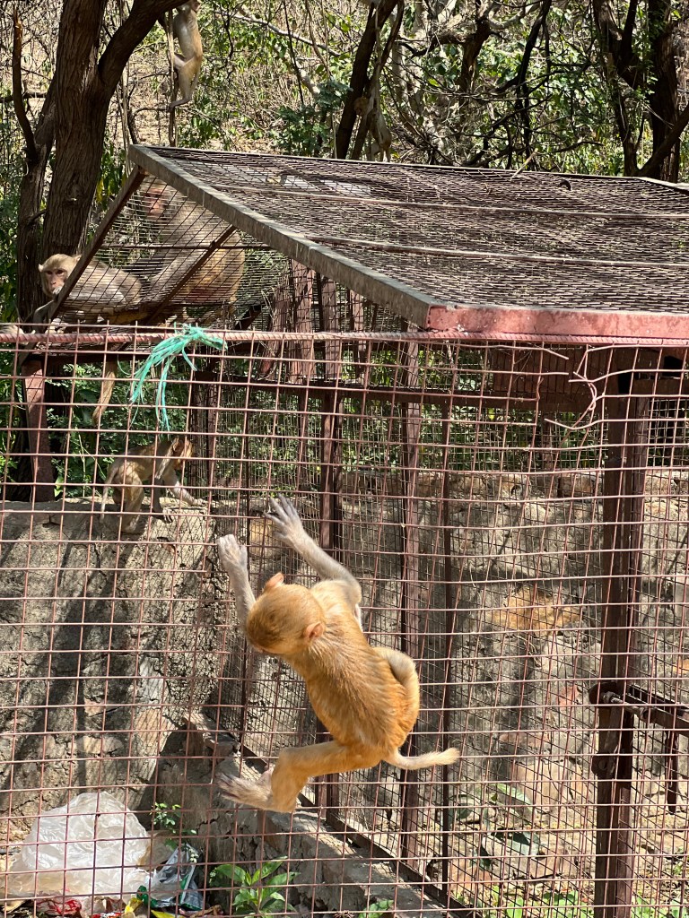
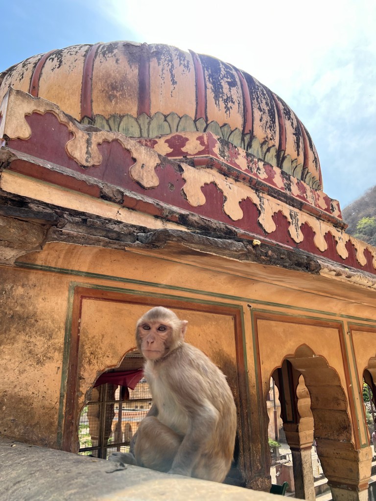
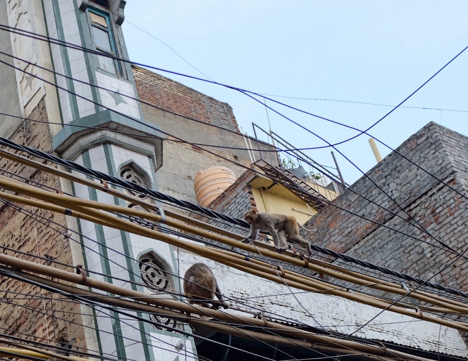
And we visited the Hanuman Temple in Japipur, also known as “Monkey Temple”, a historic Hindu temple that… surprise surprise… has a lot of monkeys in its secluded setting.
The aforementioned monkeys
The rest of my time in Jaipur was spent with my friend, Romey, a delhi native visiting Jaipur for the holiday. A man with the kindest heart (and emblematic of many of the Indian locals I met), he was determined to show me and my Western companions all of what India had to offer in Jaipur. Over 3 days, Romey offered to let us join him as we all explored the city, stuffed together in his SUV. He never once asked for something in return — Romey was simply happy to help us and experience Jaipur through our uninitiated eyes. He is a testament to what national hospitality and treatment of foreigners can be. While I did not take a lot of photos on these days as I really wanted to focus on enjoying my time, here are a few from an evening view of the city we got on one of our last nights.
Conclusion
About 2 years ago, I attended a 10-day silent medication retreat through a practice called Vipassana. Among the many lessons I learned, one of them that stuck with me most was the distinction between intelligence and wisdom. Intelligence was desceribed as the faculty of understanding something objectively. Wisdom, on the other hand, was described as direct, personal experience, and the knowledge from listening to others. Vipassana explained that someone can have any number of intellectual pursuits, but unless they experience it, and develop an understanding from their personal experience, they will not fully appreciate it. To me, travel is “personally experienced” wisdom. You can read or watch videos, but I believe a deeper, more transformative, understanding of different countries and their cultures must come from the physical experience of travel.
My time in India was emblematic of the “wisdom” I hoped to be able to gain in my time traveling. Never in my life have I experienced an environment and culture so different from my own – so challenging to understand and accept. “This can’t be real” and “I must be dreaming” were regular thoughts that ran through my mind as my head spun trying to comprehend the foreign environment I was in. I guess that’s what I get for spending the first quarter-century of my life cradled in the West.
This is the type of challenge and wisdom I’ve been searching for, and I look forward to seeing what the rest of Asia has coming for me, my mind, and my stomach.
See you in two weeks in Nepal as I attempt Everest Base Camp.
I write this sitting at a cafe in the Delhi Tibetan colony. I sip a coffee and eat my eggs with aloo khalsa (spicy potato’s), tomato chutney, and tibetan bread, while 4 Tibetan monks sit to my right, drinking tea and watching Tic Tok videos on their phones. I look at them and they look at me, both of us moderately perplexed by the other’s presence. A few minutes later, they smile at me and, as has become custom in my time in India, ask to take a picture with me.
It is this scene – the confluence of modernity and the fantastical images of Asia I made up as a child, that I believe most represents my time in India. A constant bombardment of culture-shock and movie-like scenes: crowded spice markets, monkeys traversing power lines, endless shops offering chai, samosas, and kulfi – and at the center of it all, a Starbucks which would become my “safe space” – an escape from the madness that perpetually threatens my Westernized foundation.
But what was most surprising to me was the immense kindness, intrigue, and respect I received from nearly every person I met in this country – from the rickshaw drivers to restaurant workers and the fellow pedestrians on the street, all of them wanted to share their country with me and offer the best it had to offer. This benevolent kindness, with no expectation or caveat behind it, is nothing like I have ever experienced.
Delhi: New & Old
Day 1 & 2: Welcome to the Chaos
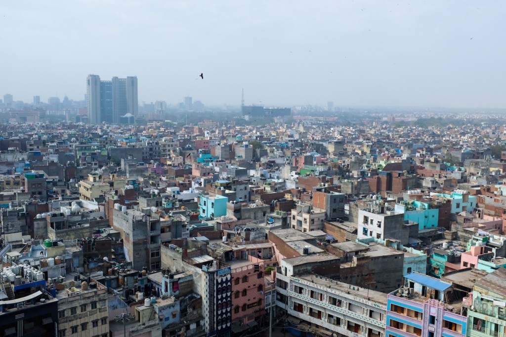
I won’t lie, having never been to Asia, the culture shock was intense – and it took a good 36 hours, full of headaches, itchy eyes, and a troubled stomach to fully acclimate to the Delhi environment. I would say the biggest adjustment was to the air quality, which, unfortunately, coats the entire city. New Delhi is one of the most polluted cities in the world with some parts of the city reporting levels almost five times those considered “unhealthy” by the EPA. Recent measurements taken at the US Embassy in Delhi put the city’s Air Quality Index at 999, off the standard chart, which finishes at the “hazardous” level of 500. By comparison, the highest AQI level recorded in Baoding – China’s most polluted city – is 298.
Because of this, in conjunction with the crowded streets inundated with excessive honking, poor sanitation, and rampant scams, many first-time visitors decide to duck in and out of the city as quickly as possible, or even skip it entirely.I think they’re making a big mistake by doing so – and I want to make clear that the 6 days I spent in Delhi were some of the most unique and eye-opening I have ever witnessed. As someone who appreciates a challenge and the rewards that can come from it, I can assure you, the struggle that first bombards Western tourists is 1000x worth the immense cultural and spiritual beauty that meets you on the other side.
There are three main areas in the city –
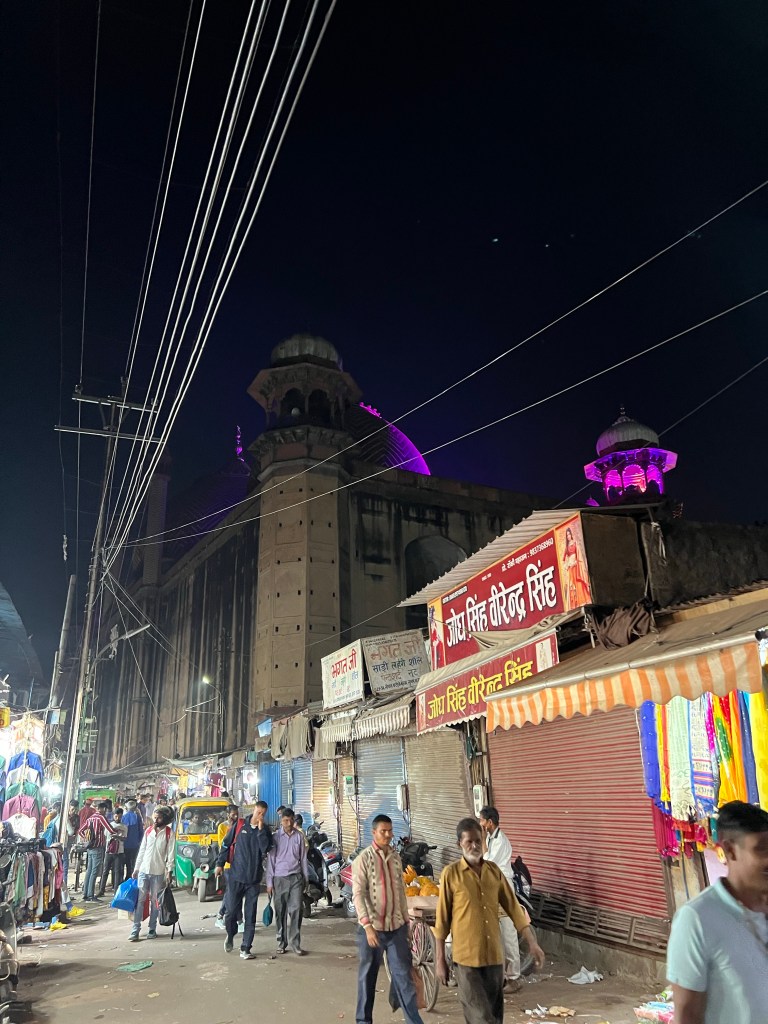
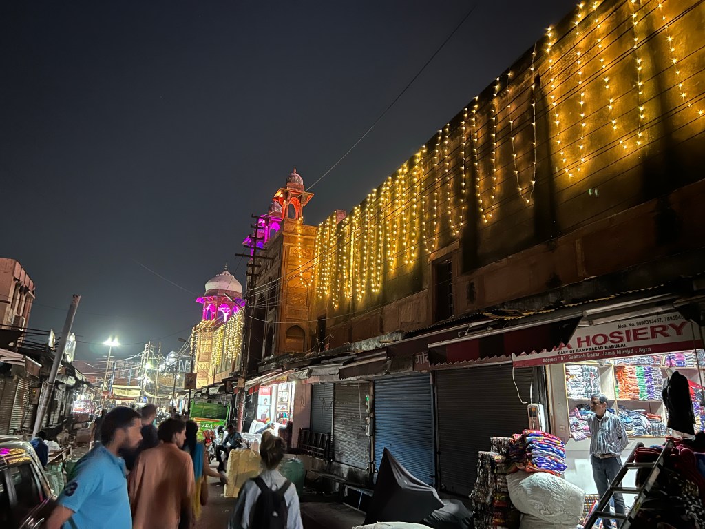
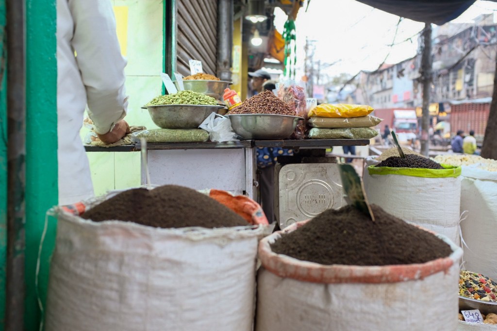
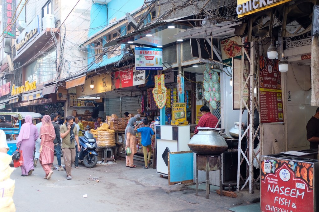
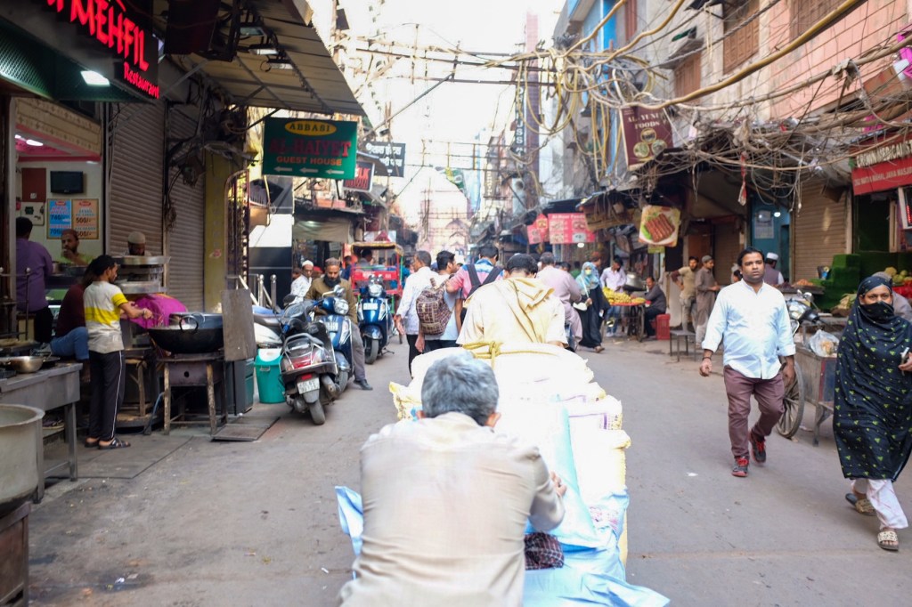
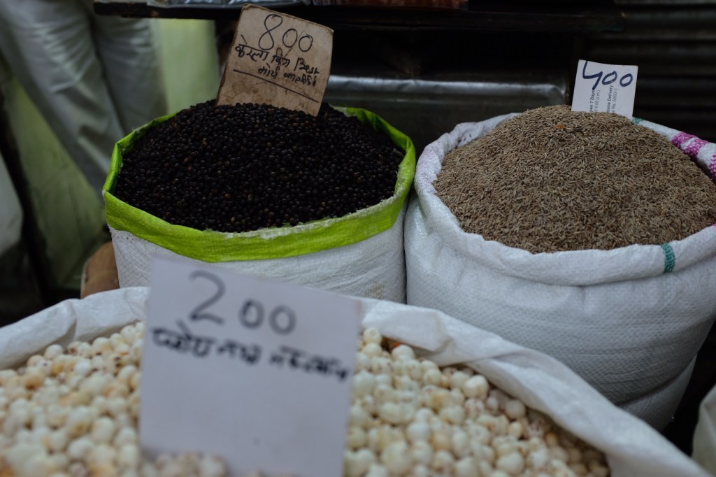
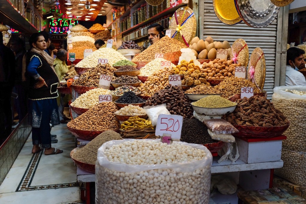
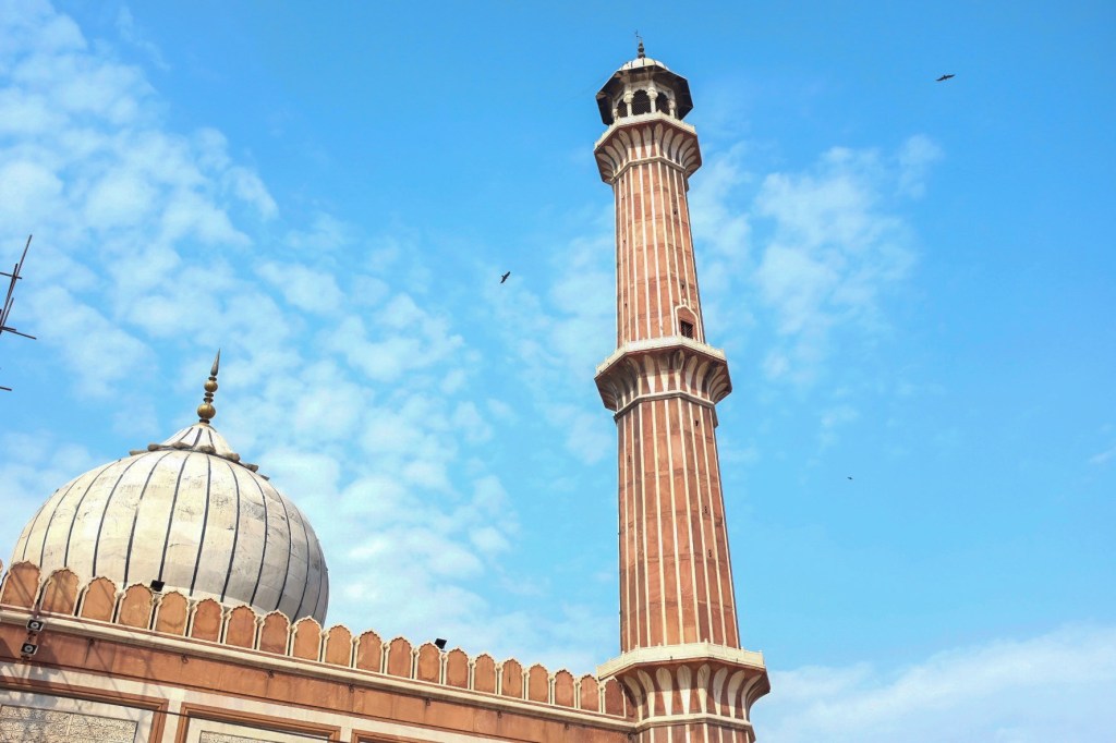
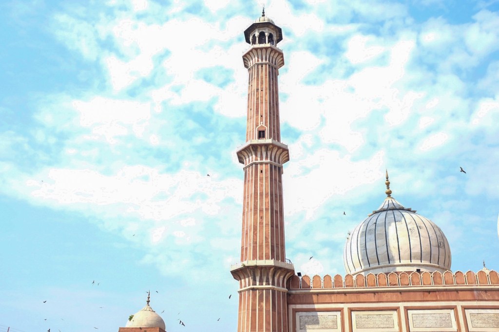
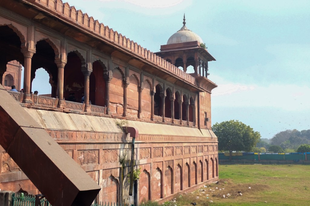
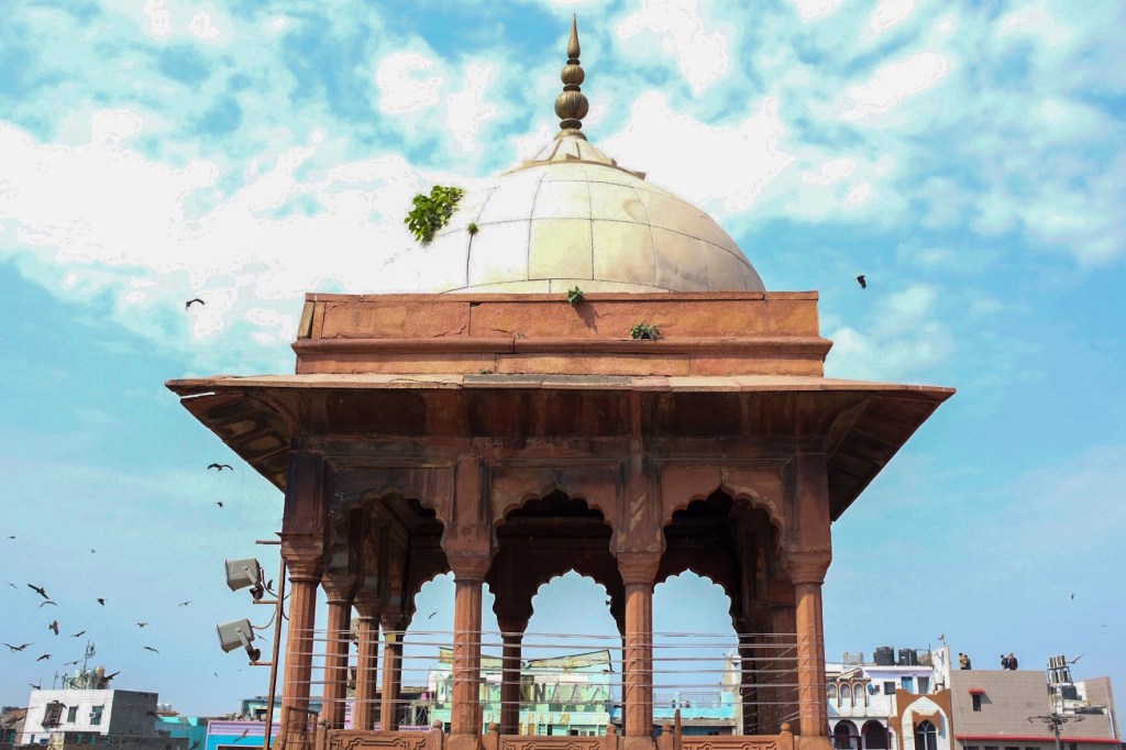
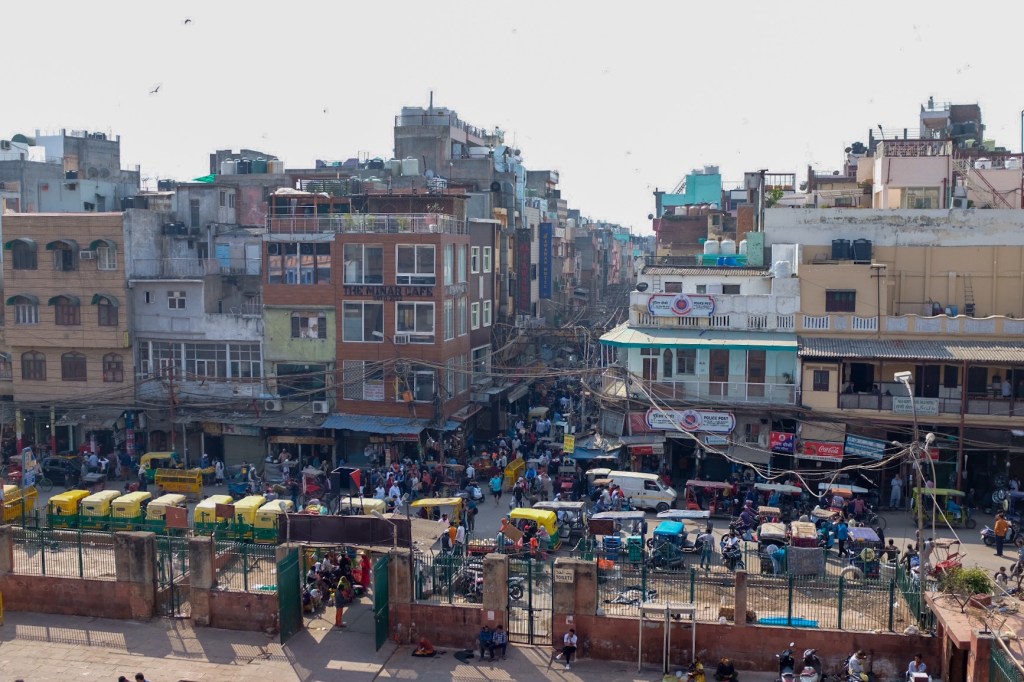
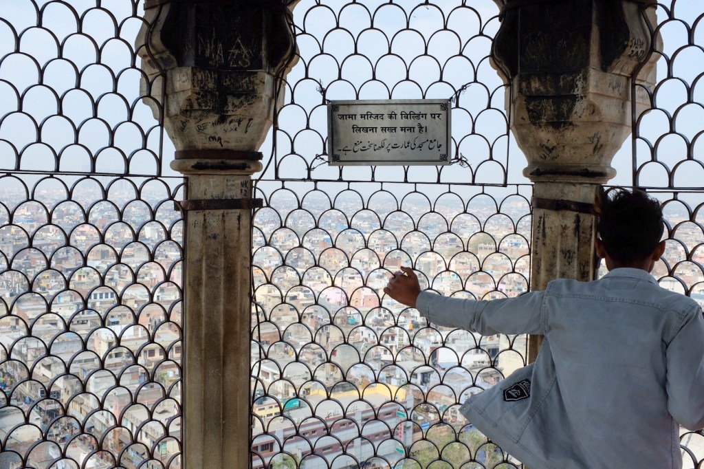
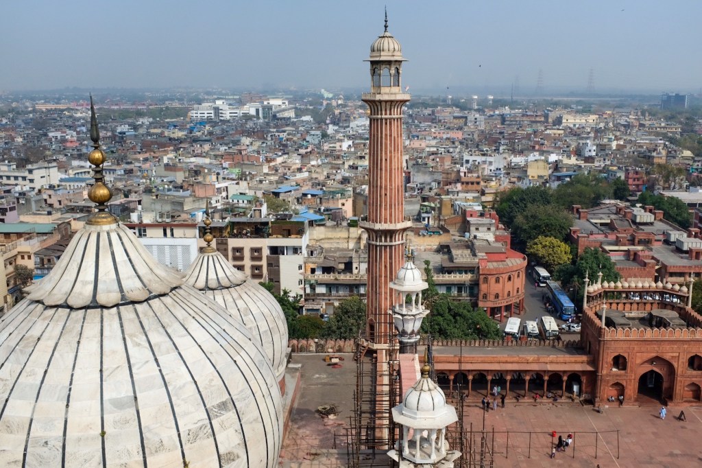
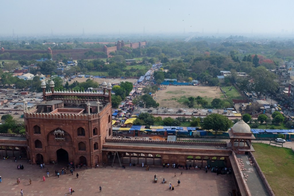
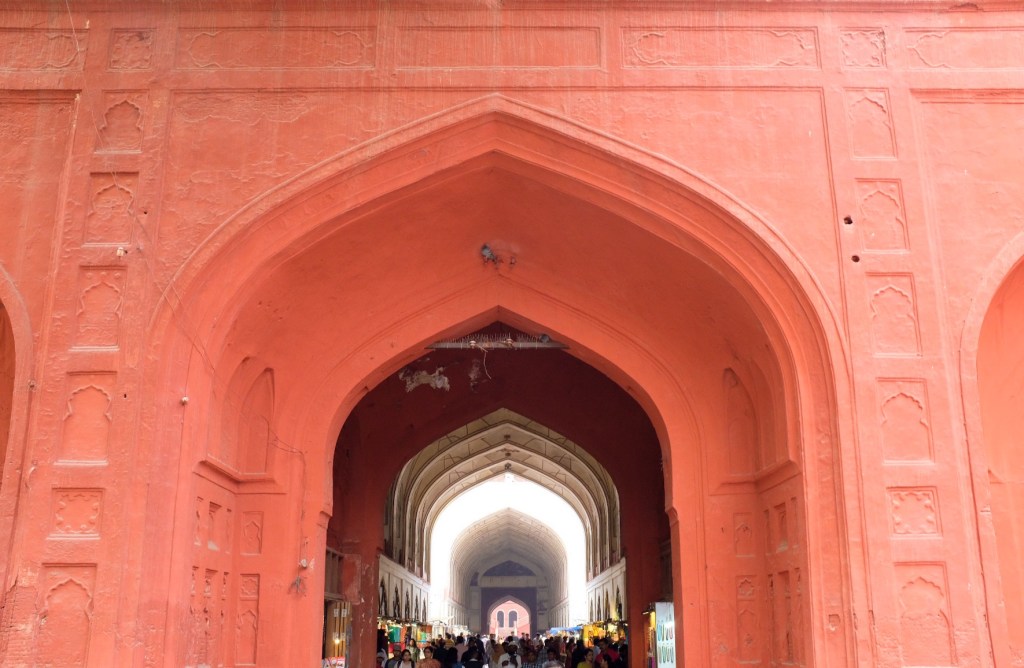
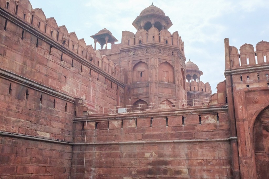
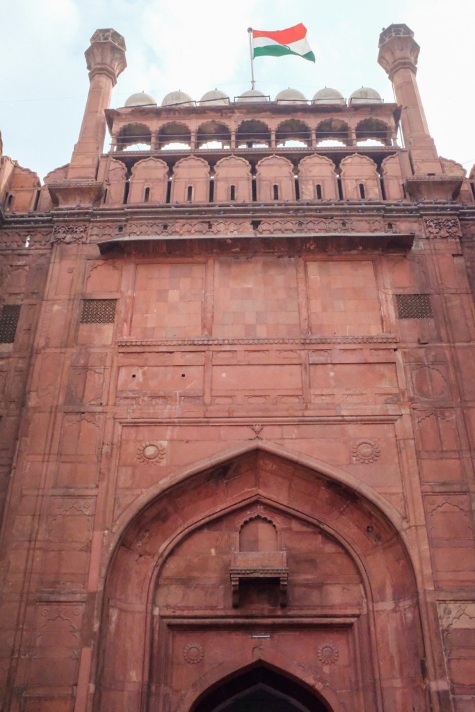
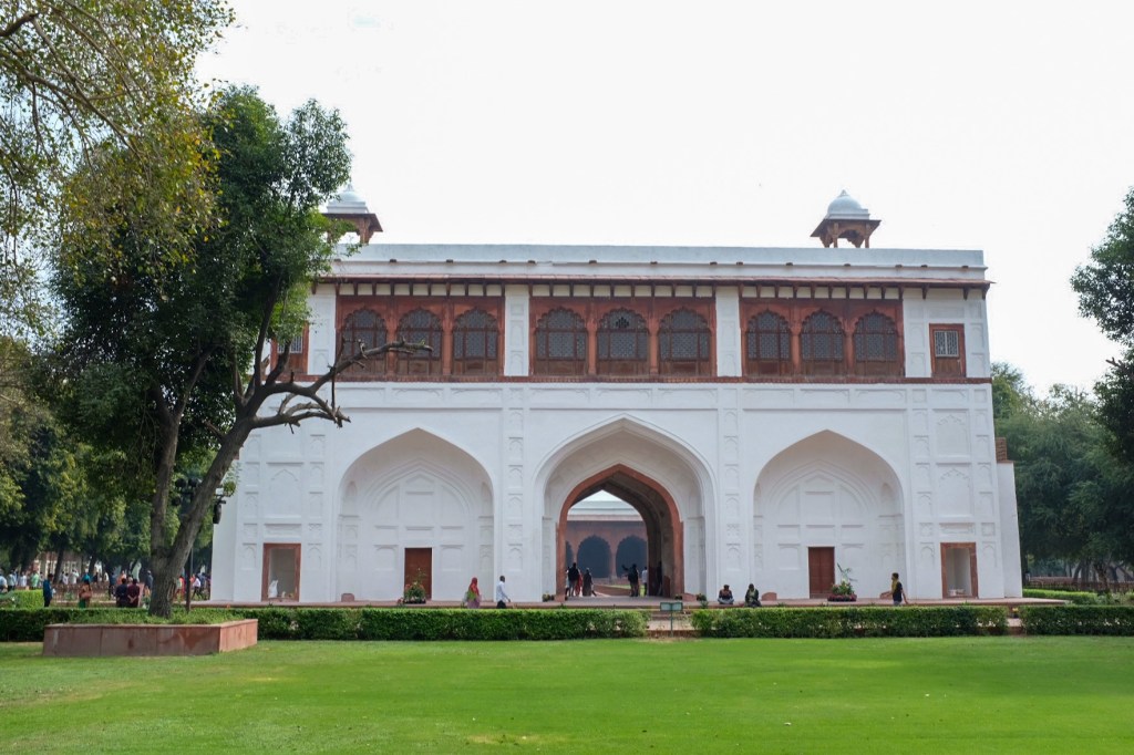
Old Delhi (the walled city of shahjahanabad in the 17th century) is where the culture shock hits the hardest – with first-time visitors accosted by vibrant smells, crumbling architecture, and overstimulating sounds of horns, bargaining, and religious prayers. There are two divisions to Old Delhi – the Hindu section, covered in shrines; and the Muslim section, with Arabic translations of Hindi, stalls selling meat (most of the Hindu section is “pure Veg”) and the famous Jamal Mosque. Main attractions here include the Red Fort, Raj Ghat, the Chandni Chowk spice markets, and the aforementioned Jamal Mosque. Along one street in Chandni Chowk, you can find 5 religious buildings all aligned close to each other – Jain, Hindu, Sikh, Muslim, & Christian (the city’s Jewish Synagogue is in New Delhi).
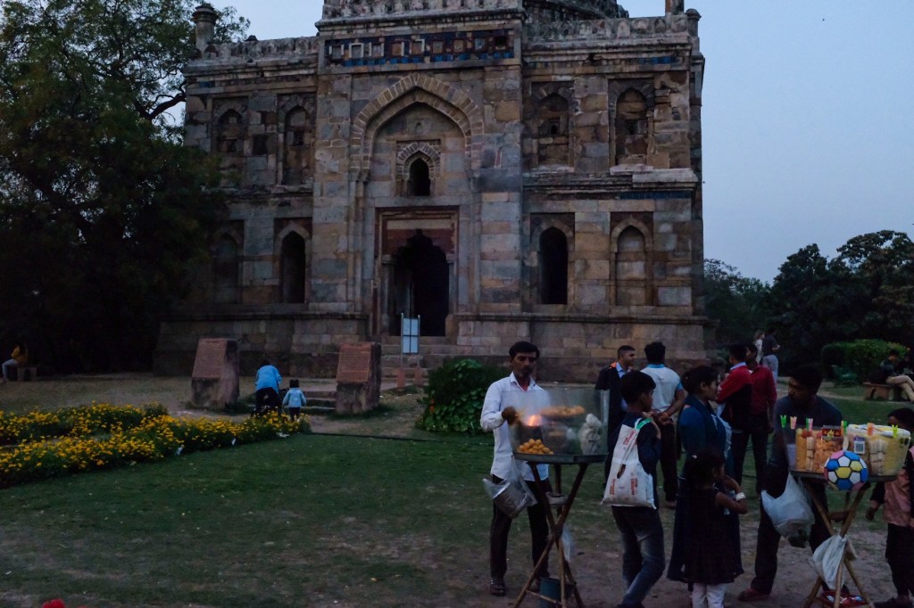
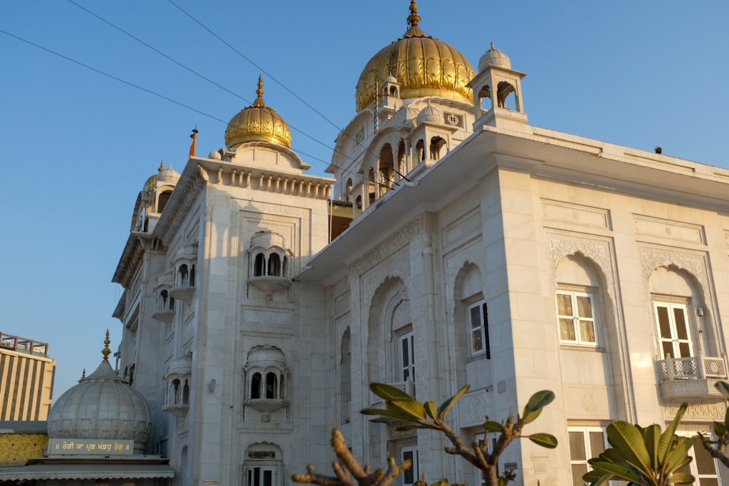
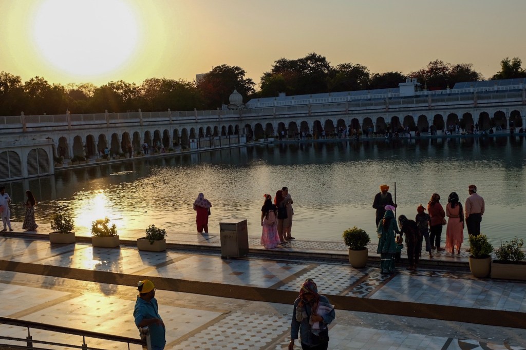
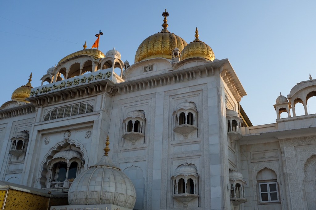
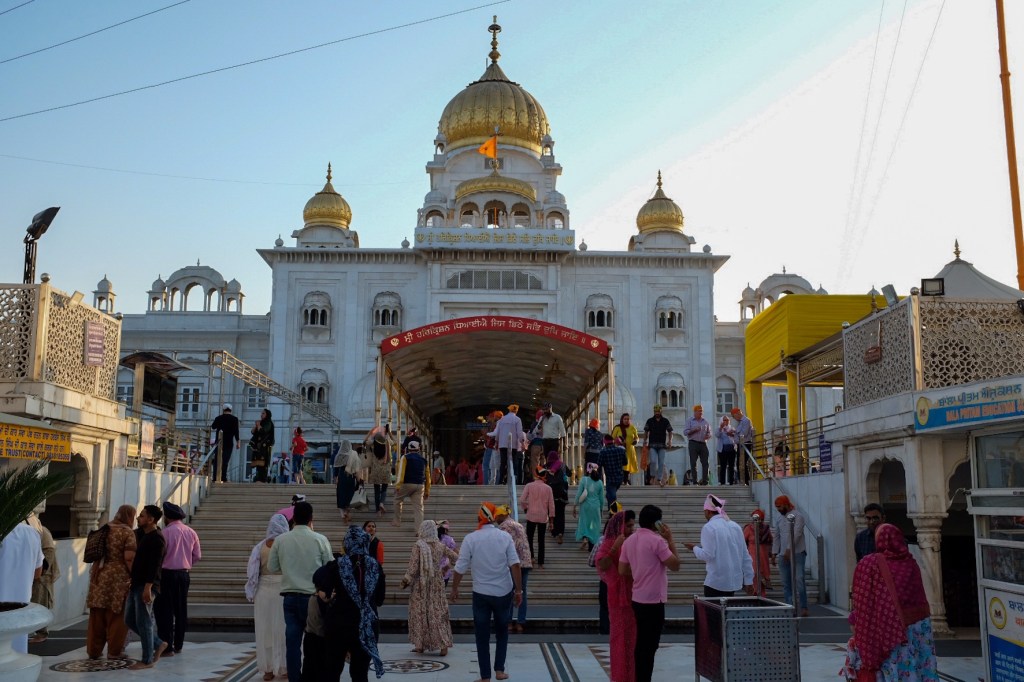
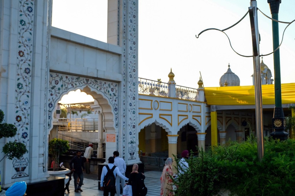
New Delhi was built by the British colonists when they decided to build a new capital in India – full of huge gleaming buildings, historical monuments, parks, and government structures. This is where tourists can find Gurudwara Shri Bangladeshi Sahib (a famous Sihk house of worship), Agrasen Ki Bali (a 10th century step-well), India Gate, Humayun’s Tomb, Safdarjung Tomb, and Lodhi Garden.
South Delhi — an upmarket residential neighbourhood that’s calmer and quieter, full of beautiful homes as well as the Lotus Temple, Qutub Minar, and the PVR Directors Cut Cinama, where visitors can enjoy a Bollywood movie over dinner. I will visit this area on my last day in India.
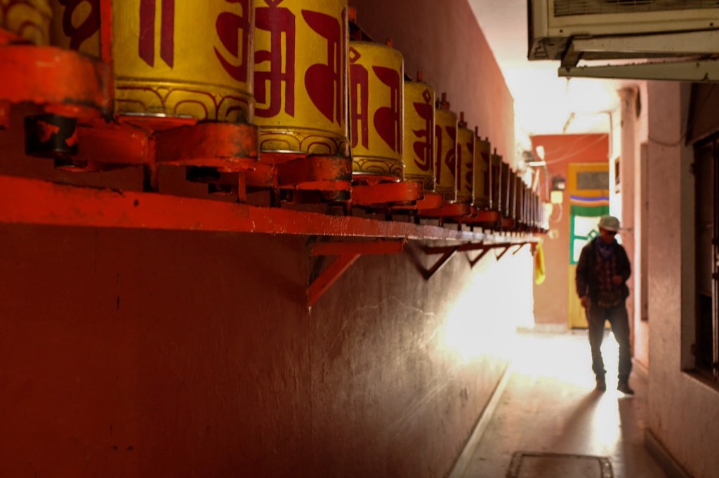
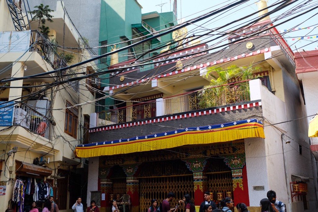
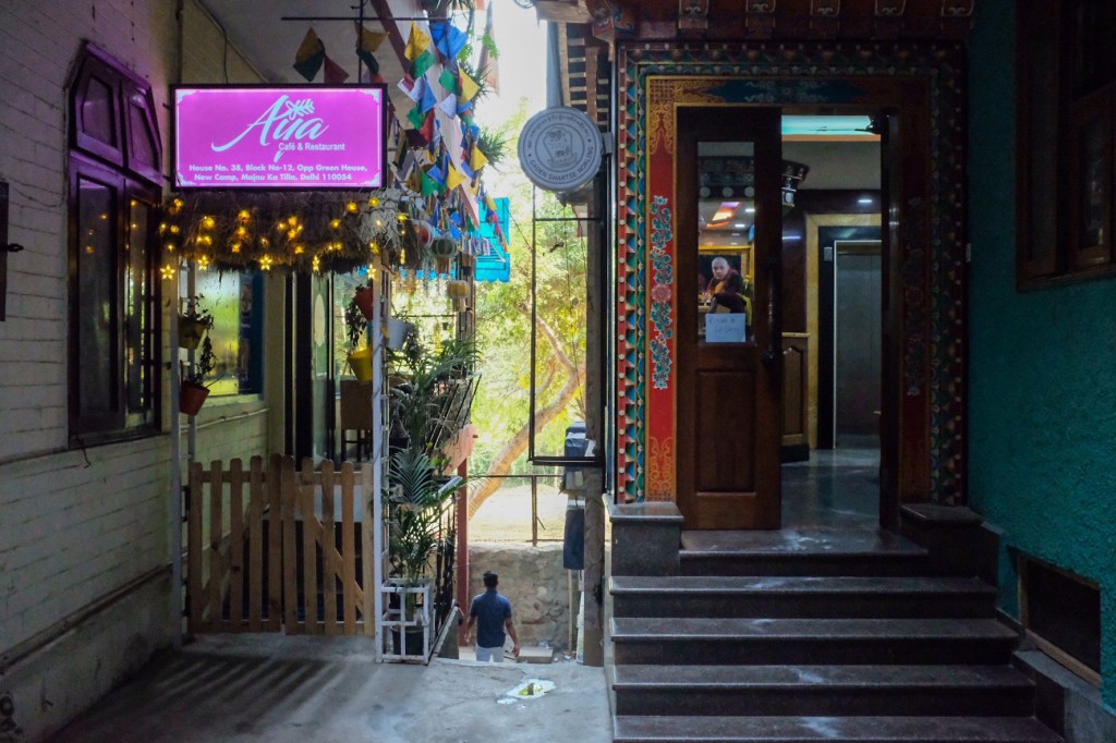
Bonus Section: North Delhi Tibetan Colony – If you go 25-30 minutes north of Old Delhi, you will arrive at the Tibetan Colony, Manual-ka-tilla, established around the 1950’s. Just as the area was developing, the 1959 Tibetan uprising took place, and many residents of Majnu-ka-tills left Tibet when the Dalai Lama went into exile. Soon, a small Tibetan refugee camp rose across the road and in 1960, the Indian government allotted the land to the refugees. After the Sino-Indian War of 1962, many of the refugees who had previously settled near the Indo-Chinese border moved to the Delhi Tibetan colony. Today, it is home to guest-houses, cafes, restaurants, and two Buddhist temples. If you have the extra time, I highly recommend you come to this area and experience the colony and its wonderful food.
As hinted above, my first 36 hours in Delhi were largely an adjustment period, as I tried to navigate the busy streets in search of cash, a sim card, and some eye drops. A fairly quick errand given the cities endless shops selection, I then moved to the second most important task – finding a good curry & a lassi. It was time to test my gut resiliency.
For the uninitiated, first time Western tourists to India are constantly confronted with the russian roulette of food poisoning – lovingly labeledDelhi Belly. This relatively harmless but immensely uncomfortable condition typically occurs when tourists go anywhere near the street food, which often does not meet the sanitary standards Westerners’ stomaches are accustomed to. I was fortunate enough to enjoy many Indian street treats with limited abdominal upset throughout my time in Delhi, and I believe it was these principles I followed that helped defend me:
Go vegetarian! (mostly) – India has the lowest amount of meat consumption in the world – so I decided to switch over to a largely meatless lifestyle – except for Chicken biryani, of course.
Avoid most fruits and vegetables while you are in the country. This unfortunate rule helps to avoid contamination from the water, which is not drinkable for Westerners.
Hand Sanitizer!! Most of those closest to me know that I am not a fan of excessive use of hand sanitizer outside of the medical system – but here in India, it became my best friend, protecting me from contaminated surfaces, utensils at restaurants, and the occasional face-touch.
NO TAP WATER – do not drink the water, do not put the water near your mouth, eyes, ears, etc… do not brush your teeth with the water. It is safe to shower with it, but, for the love of god, do NOT open your mouth.
NO ICE – Unless it is starbucks, you should assume the ice is made from the tap water or shipped to restaurants in unsanitary conditions. Keep an eye out for refrigerated drinks or accept luke warm beverages.
Antibiotics – I took a 3-day series one day when I started feeling some upset in my stomach after eating some of the best dahl and naan of my life. Whether the antibiotics saved me or I just got lucky, I am not sure – but they are certainly worth bringing.
Add an extra day to your itinerary so you can take it slow – feel some abdominal issues? Take a rest & don’t push it!
For me, the risk and minor abdominal upset was well-worth the incredible meals I got to enjoy. For me, the mix of street and restaurant food was the optimal way of experiencing the culinary culture and protecting my body – but your risk tolerance may vary!
Day 3: New Delhi
After settling in, I decided to escape Old Delhi (where I was staying) for a day and explore the calmer New Delhi.
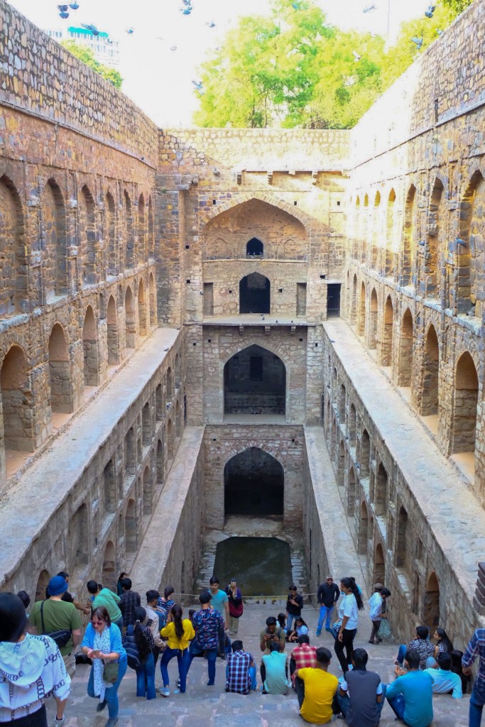
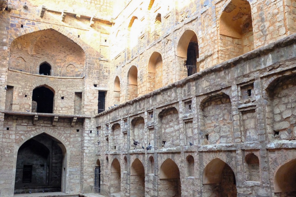
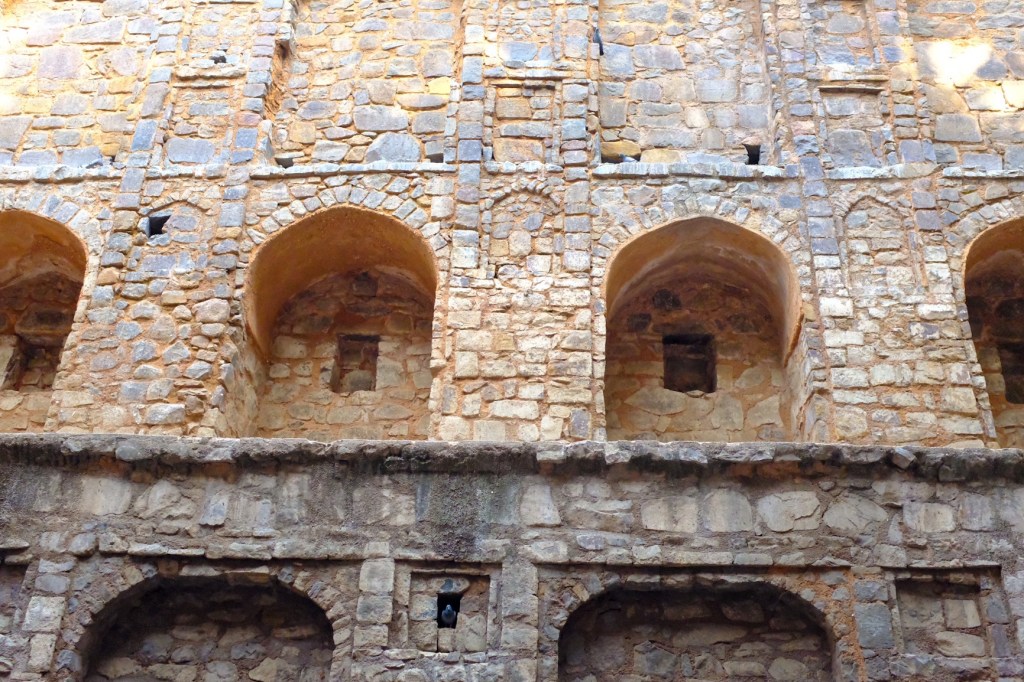
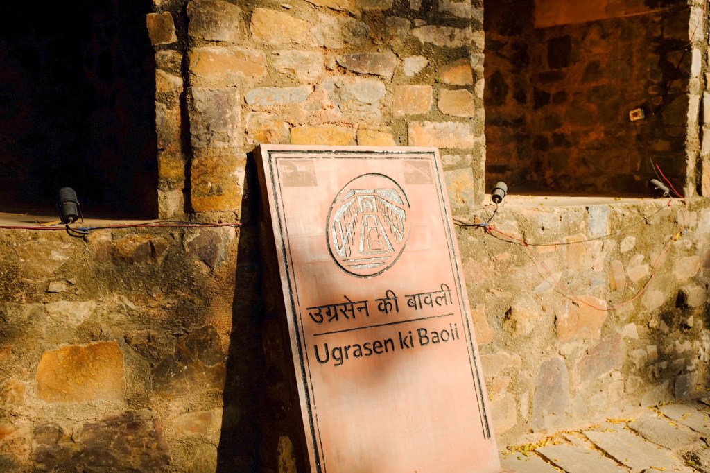
My first stop was Agrasen Ki Baoli, which is a step-well from the 10th century, with soaring arched walls and alcoves.
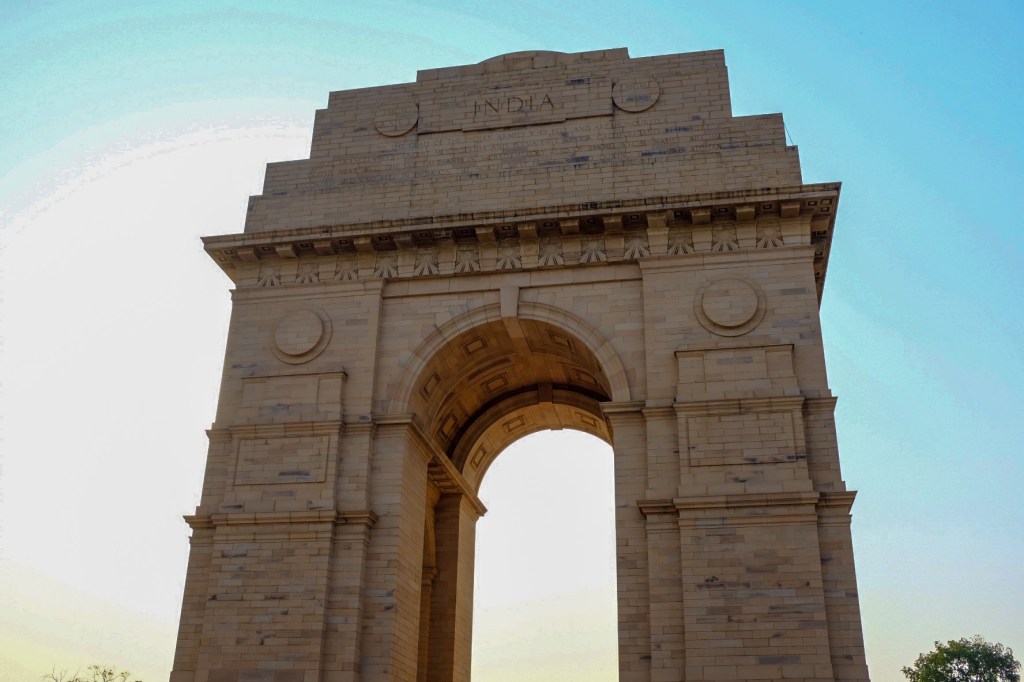
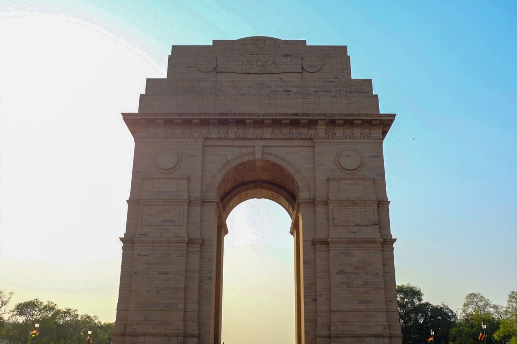
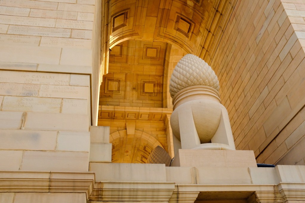
Afterwards, I made my way to India Gate, a war memorial commemorating the 84,000 soldiers of the British Indian Army who died in the First World War. 13,3000 service members’ names are inscribed on the gate.
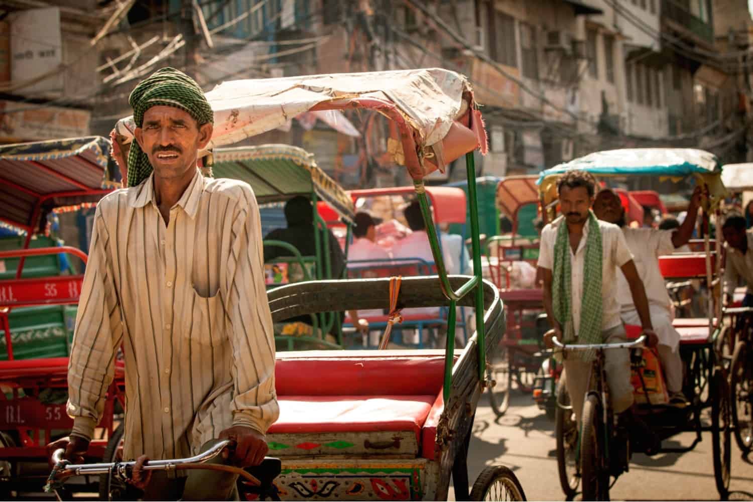
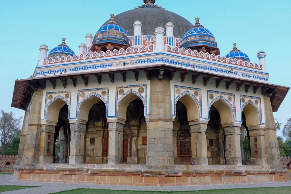
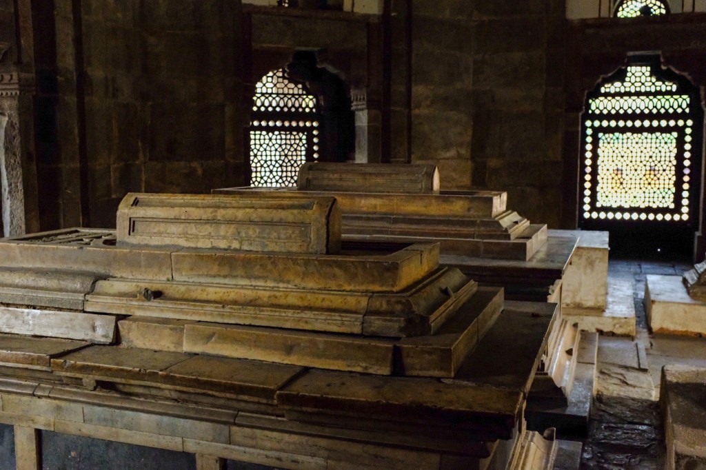
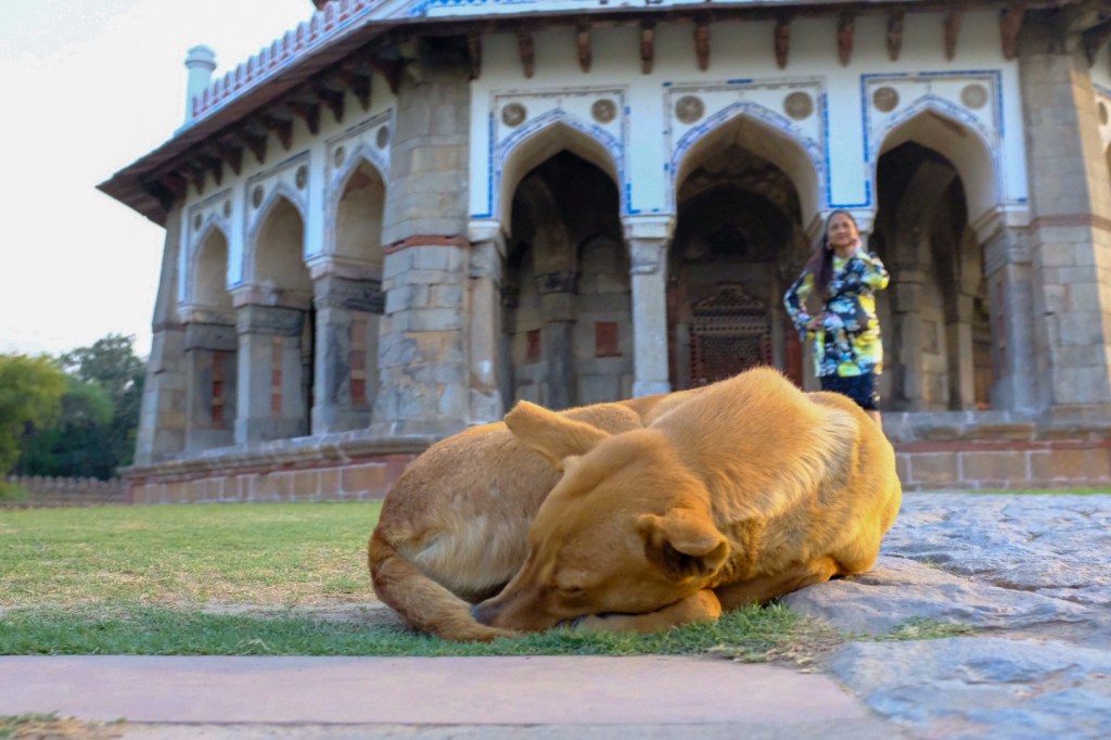
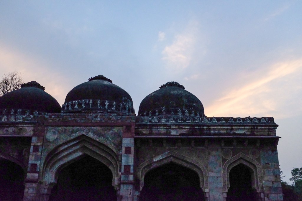
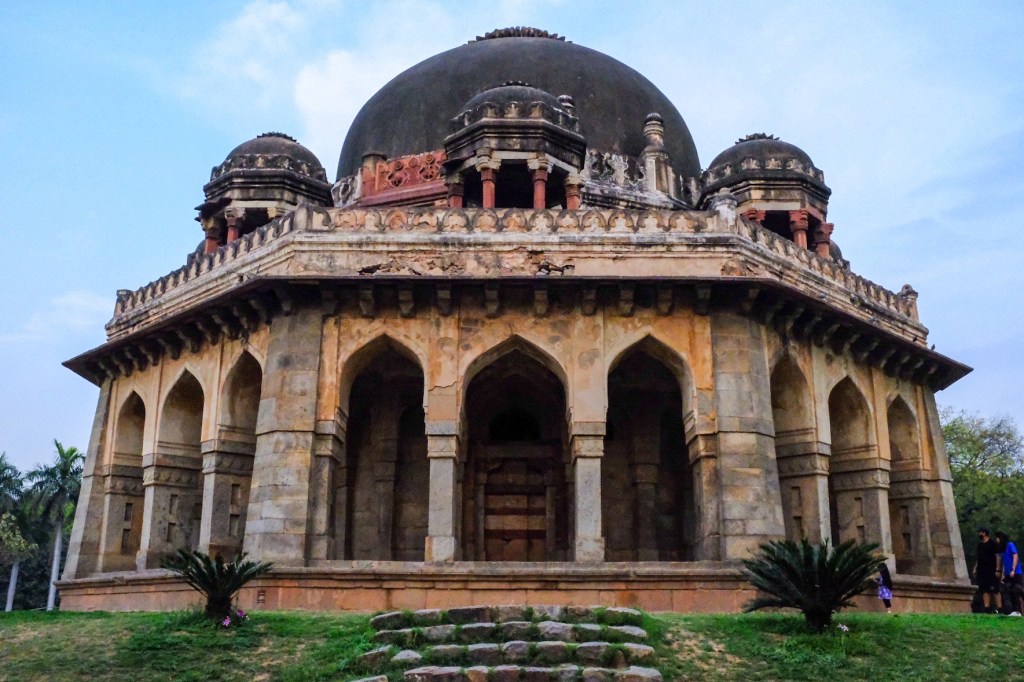
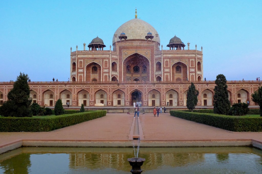
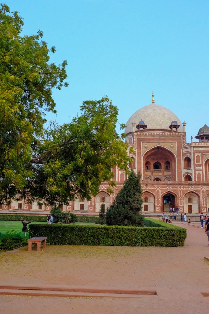
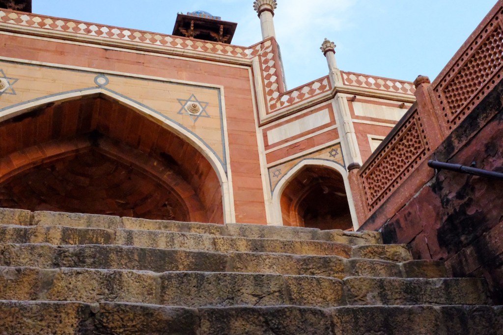
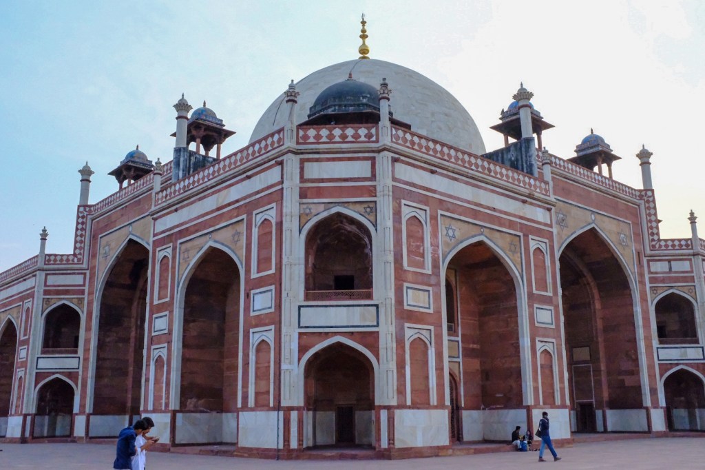
And then took a rick shaw to Humayun’s Tomb. Rickshaws are three wheeled passenger carts. India has about 2.4 million of this little battery-operated, three-wheeled golf carts on its roads, and it is, without a doubt, the best way to get around the city.
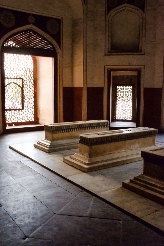
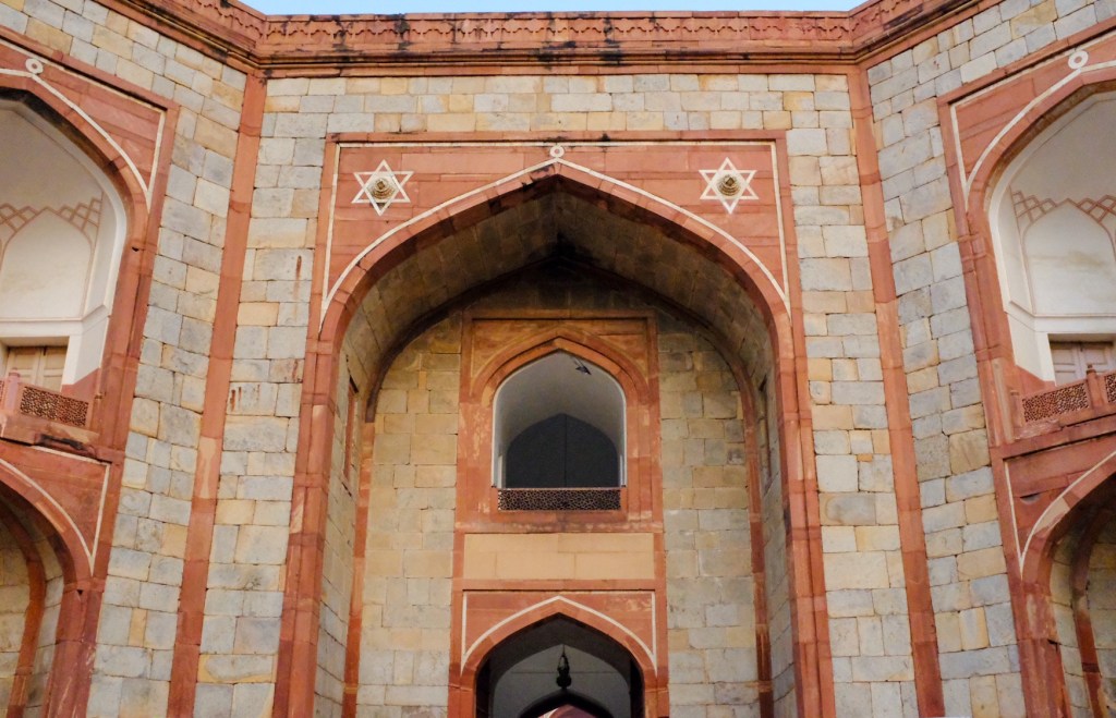
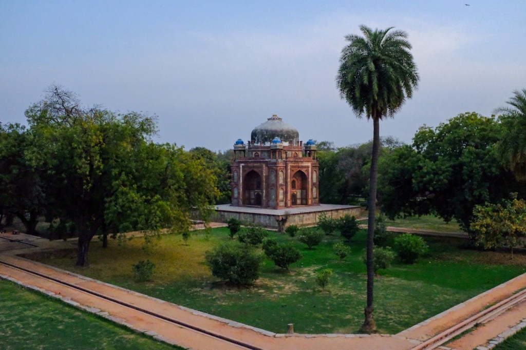
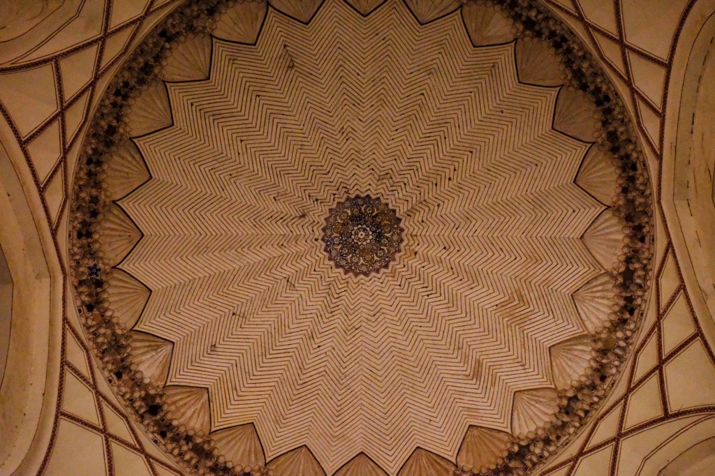
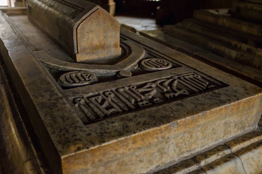
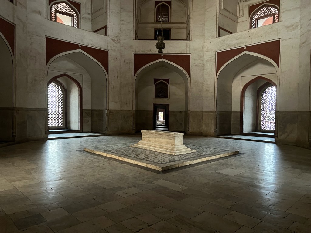
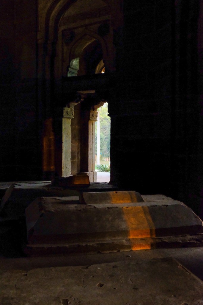
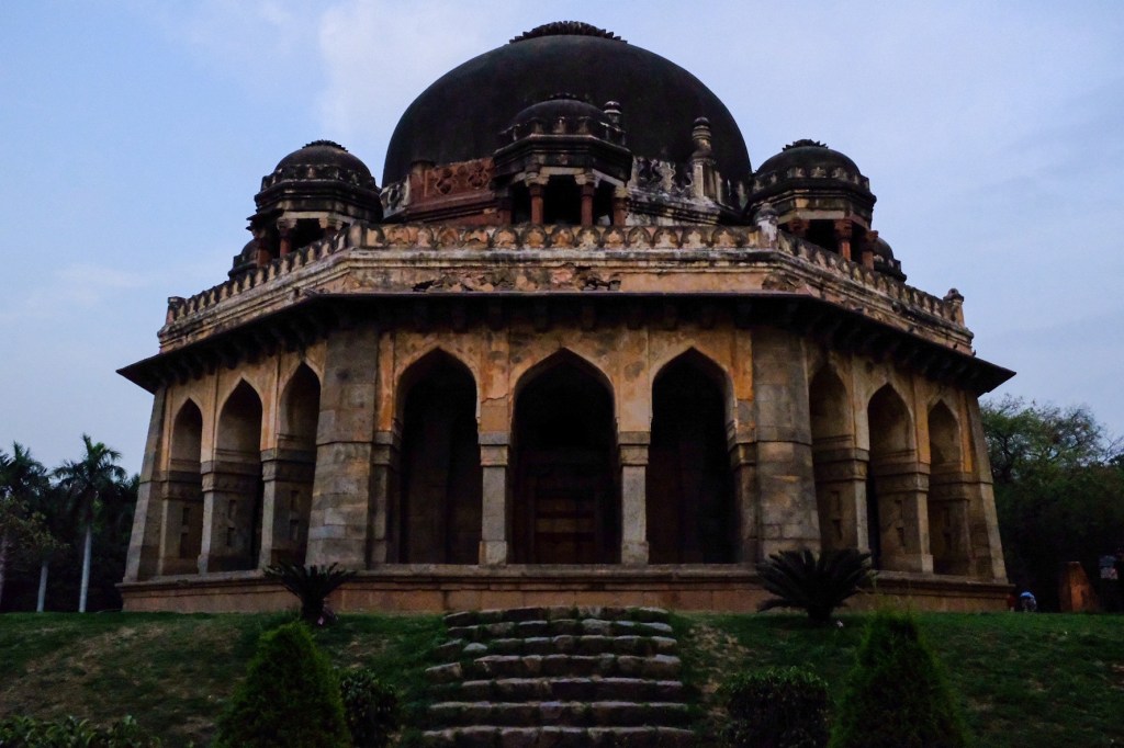
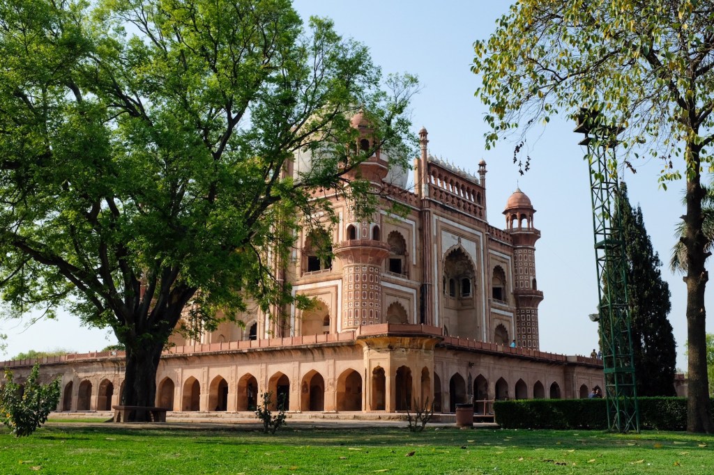
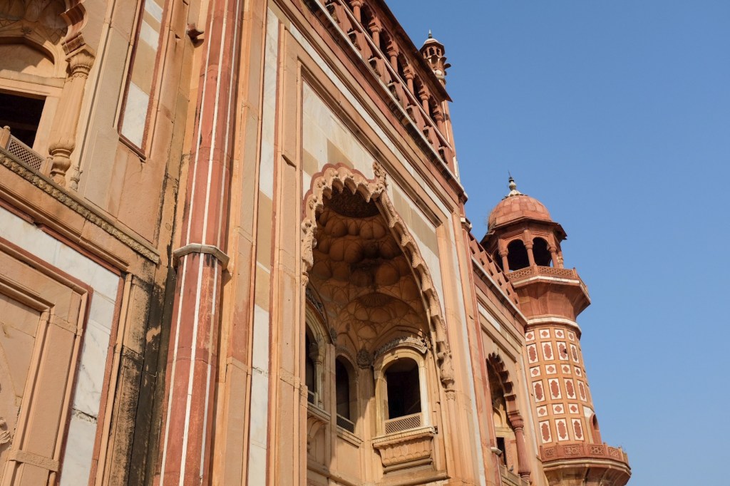
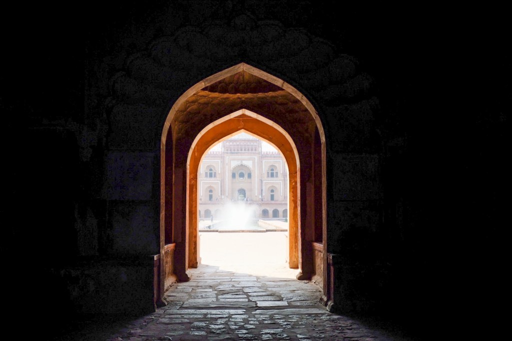
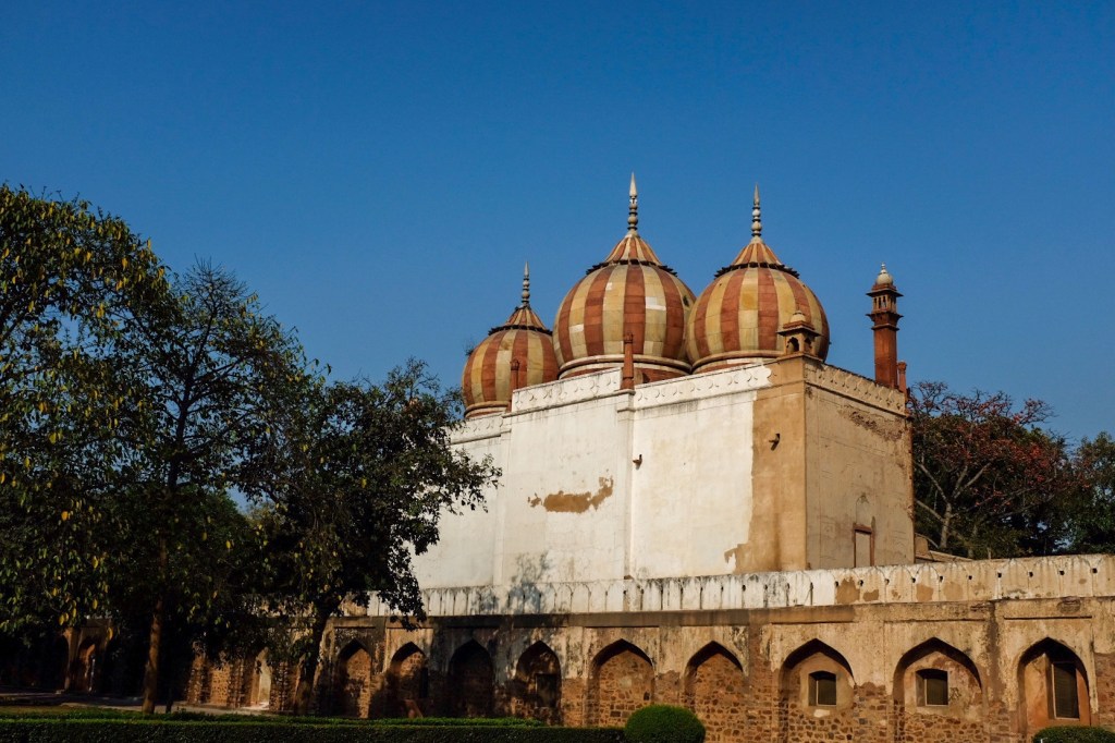
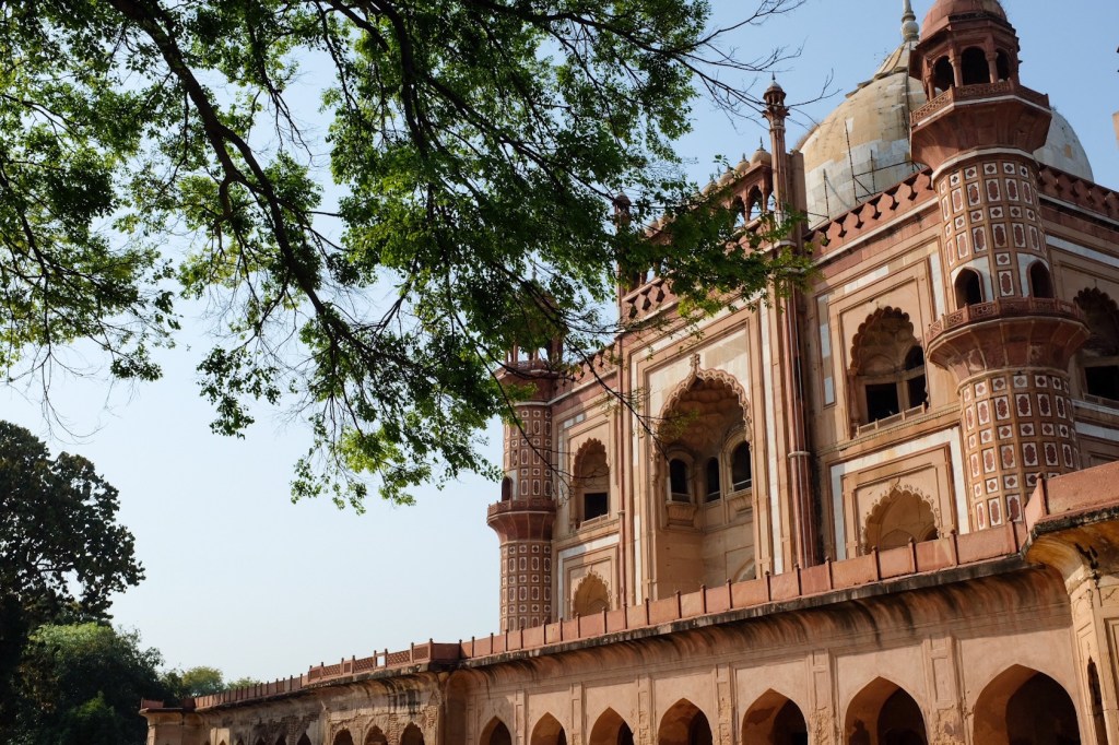
Humayun’s tomb is the tomb of the Mughal Emperor Humayun. The tomb was commissioned by Humayun’s wife, empress Bega Begum in 1558. The tomb established a precedent for future Mughal architecture, reaching its peach with the Taj Mahal in Agra, about a 3 hour train ride east of Delhi.
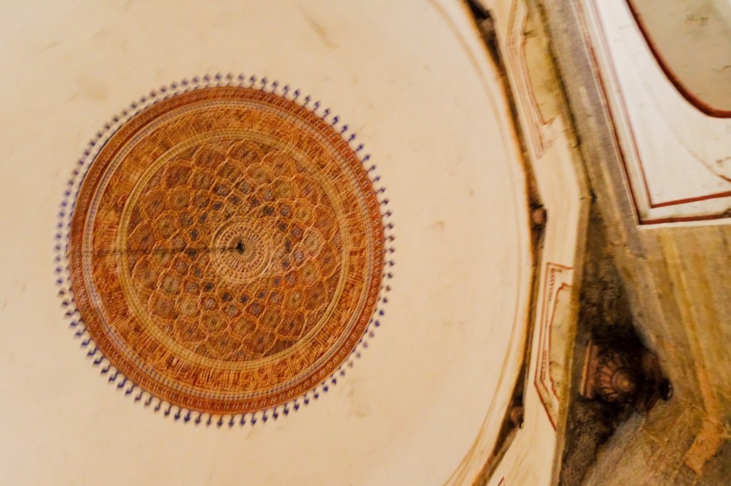
The main complex – was the first garden-tomb on the Indian subcontinent.
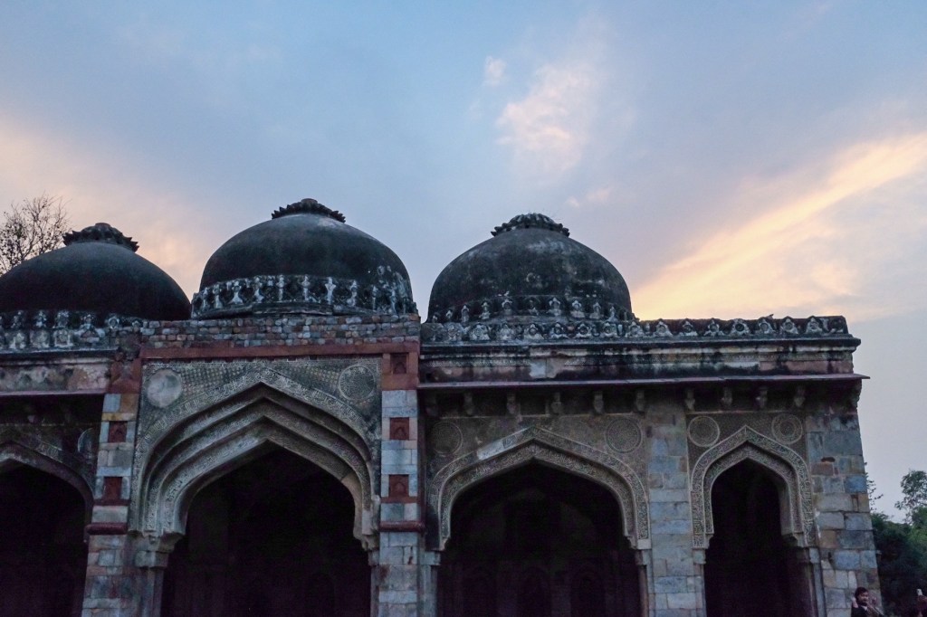
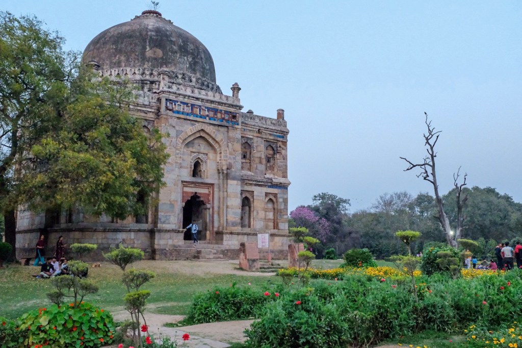
Finally, I headed over to Lodhi Garden and enjoyed a chai (its sold literally everywhere) with the sunset.
My day concludes on a more somber/thought provoking note. While I was walking back to my hostel, I was confronted by 3 little girls on the sidewalk begging for money with their mother. When they saw me, their eyes lit up and they ran towards me with their palms stretched out, asking for money. When they saw that I was not taking out cash, they transitioned to a performance, doing somersaults and cartwheels before quickly returning to me. When that did not work, they moved to plan C, and created a physical blockade on the sidewalk, laughing and smiling as though it was a game of red rover. Unsure what to do, I decided to play their game. I positioned myself as though I was about to run and jogged towards them, pivoting left and right around them as though it was a rugby game. Laughing, they played along, chasing me up and down the sidewalk trying to catch me. As I played with her kids, I saw their mother briefly smiling and laughing along with us. After about 5 minutes, the kids, worn out, smiled and returned to their mother. Admittedly, I had a lot of fun, and as I began to walk away , I found myself returning to the mother, handing her 100 rupees ($1.25).
To be honest, I’m not sure what the right approach was for this situation and it brought up many questions re. begging I had not prepared myself for before beginning this trip. Should I have given more? Should I have not given anything at all? In saving up for this trip, should I have set aside an amount to go towards the house-less I would inevitably encounter – as though it was a tax from each country I visit? Is contributing to their economy as a tourist enough? How do I know when I should give donation and when I should restrain? Who am I to decide who is deserving of my money and who is not?
I think it will take a lot of time, soul searching, and research to come to a conclusion to these questions – but this situation helped me realize how important it is to figure out for myself.
Day 4: Old Delhi
The day started bright and early at 5:30am, when I joined a bike tour of the walled district. Riding through the empty streets, we watched as the city came to life – cafes, restaurants, shops. By 10:00, gliding through empty coordiords turned into dodging tuktuks and swerving past pedestrians, cows, and food stalls.
Jain and Hindu TemplesBags of spicesHindu ShrineOur barista!
Can you spot the monkey?
We stopped at the spice market and took a quick detour into where they prepare the spices for shipment – at the heart of it was a shop where a single man was making chai for the crew of workers – fueling their efforts.
Afterwards, we ate puri and watched the market liven.
Some of the spice shops
Later in the day, I went to visit the Jamal mosque and walked to the top of one of the minarets to get a view of the city
And walked over to the Red Fort.
I finished the day at a restaurant recommended to me by a vendor, Kake Di Hatti, in the Chandni Chowk market area. A chaoti food stall with a few tables and chairs, not a Westerner in sight, this was the biggest food risk I took during my time in Delhi – and it paid off in droves. I had the best dahl of my life here – my tastebuds rose to heaven as my mouth was bombarded with an earthy, spicy, savory, umami flavor like no other. The dish came with an enormous naan which I at first thought was too salty – until I dipped it into the thick curry and witnessed the power of a fluffy, salty, buttery, garlicky flatbread mixed with a thick, spicy curry – like pairing wine with a meal, the 2 items elevated each other. Throughout the pandemic, I spent a lot of time attempting my hand at Indian curries – and I would argue I’ve gotten pretty good at them. In the winter, I would regularly make daal and chapati, proud of my culinary prowess. But this daahl humbled me, showing me what a TRUE Indian dish should taste like. It was wonderful – and it only cost me 225 rupees ($2.75) and a minor stomach ache – a fair deal in my opinion.
Day 5: Akshardham, Safdarjung Tomb, & dinner at Jamun
After starting the morning with some chai (every block has a vendor selling them), I headed to Swaminarayan Akshardham, the world’s largest comprehensive hindu temple. Consecrated in 2005, the complex displays thousands of years of Hindu culture, spirituality, and architecture.
Hinduism is the world’s oldest religion, with roots and customs dating back more than 4,000 years. With 900 million followers, Hinduism is the third -largest religion behind Christianity and Islam. About 95% of the world’s Hindus live in India. I found that this overview from Britannia is quite helpful in getting a broad understanding of the religion: https://www.britannica.com/topic/Hinduism.
The main hall offers an exhibition about the life and work of Swaminarayan, a yogi and ascetic who is believed by followers to be a manifestation of God Krishna. Swaminarayan was born in 1781 and, during his lifetime, constructed six mandirs to facilitate followers’ devotional worship of God, and encouraged the creation of a scriptural tradition,including the Shikshapatri. The shikshapatri is a religious text of 212 verses and is a key scripture of Swaminarayan Sampradaya followers.
Visitors are not allowed to bring phones or cameras into the complex, so here are some photos from the complex’s website.
Afterwards, I headed west, deeper into New Delhi and visited the Tomb of Safari Jang, a mausoleum built in 1754 in late Mughal Empire style for Nawab Safdarjung. The Safdarjung tomb, the last monumental tomb garden of the Mughals, was planned and built like an enclosed garden tomb in line with the style of the Humayun tomb.
After walking through Lodhi park again, which is right next to the tomb, I finished the day at Jamun, an Indian eatery that offers a mix of popular and lesser known Indian dishes. A wonderful elevated interpretation of the food India has to offer.
Day 6: The Tibetan Colony, Raj Ghat, & Gurudwara Shri Bangladeshi Sahib
My last full day in Delhi, I got up early and headed 30 minutes north to the Tibetan Colony. As mentioned earlier, Manual-ka-tilla was established in the late 1950’s and many residents of Majnu-ka-tills left Tibet when the Dalai Lama went into exile. This was one of my favorite parts of the city and I highly recommend it to anyone who has the time in Delhi.
The colony has approximately 3,000 residents in about 400 family groups, with residents having strong ethnic identification with Tibet. Full of tight corridors, clothing stalls, and food vendors selling momo, tea and other traditional tibetan food – its like teleporting to another country. Nestled in the center is Ama, a lovely tibetan cafe that I spent nearly half a day, drinking coffee and people watching. I won’t lie – I came back here a couple times during my time in Delhi.
The rest of the morning I spent walking up and down the colony’s corridors, watching as the streets came to life – Indian tourists, foreigners, residents, and Tibetan monks all intermingling.
In the afternoon, I headed to Ram Ghat, the memorial dedicated to Mahatma Gandhi.
I wrapped up the day at Gurudwara Shri Bangladeshi Sahib, which proved to be a very powerful experience. Gurudwara Bangla Sahib is one of the most prominent Sikh gurdwaras, or Sikh house of worship, and is known for its holy pond inside its complex, known as the “Sarovar.” Growing up, I remember learning a lot about Christianity, Judaism, Islam, Druism, Hinduism, Jainism, and Buddhism – but have no recollection of learning about Sikhism. This is a real shame as Sikhism is the world’s fifth largest religion and is a religion along with Judaism, I found that I connect deeply with. Throughout my time in India, I found myself returning to their gurdwaras, listening to their guru Granth Sahib Ji, their holy scripture, as I sat barefoot on the their carpeted floors.
Sikhism is a monotheistic religion that advocates equality, social justice, service to humanity, and tolerance for other religions. The essential message of Sikhism is spiritual devotion and reverence of God at all times while practicing the ideals of honesty, compassion, humility and generosity in everyday life. https://www.britannica.com/topic/Sikhism. Here is a more in-depth description: https://www.britannica.com/topic/Sikhism.
My time in the Sikh gurdwaras really moved me and reminded me a lot of what I was taught in my time with reform Judaism. Furthermore, the openness in which they welcomed me and the compassion they offered me in my ignorance to their regulations and values was like nothing I have seen before. Never did I feel preached to or obligated to accept their belief – instead, I was welcomed with open arms, with respect and courtesy.
As I was walking back to my hostel past some street vendors, I got my first glimpse into the food-steeling monkeys of Delhi. Noticeably perplexed, a passerby explained to me that around dinner time every day, the monkeys come out to the street vendors, knowing that patrons would offer them bits of their food – voluntarily or with a little nudging on the monkey’s part. Like a tiny furry parade, I watched as families of monkeys fearlessly approached Delhi residents enjoying their meals – begging and steeling chapati, fruit, and various sweets. At one instance, a monkey I was observing 2 feet above me faked me out, rapidly pivoting in my direction as if about to jump on me – I flinched and wobbled backwards a couple steps. It was this moment that I truly felt the incredible intelligence of these animals – and it was oddly powerful to witness similarity in such a small, furry creature. It was a great way to conclude my time in Delhi.
The Motorcycle Diaries felt like the right literary choice to conclude my time in South America – coupling an ‘Argentinian’ author with the larger socialist pan-American revolutions that took place over the course of the 20th and 21st centuries. In many ways, the book loops back to the start of my travels – when I began to learn about US interventionism throughout region and the significant consequences it had on the economic wellbeing of the general populous. Marxist revolutionary Ernesto “Che” Guevara refers to much of this in his memoir, from poverty in Valparaiso to ethnic discrimination in Cusco.
The memoir of Guevara, The Motorcycle Diaries traces his travels as a 23-year old medical student from Buenos Aires throughout the continent. Throughout his journey, Che witnesses the social injustices of exploited mine workers, ostracized lepers, and remains of the Inca.
The motorized bicycle Guevara used on his journey through South AmericaGuevara (right) and Alberto Granado (left) aboard their wooden raft on the Amazon River – a gift from the lepers who they had treatedGuevara setting out on a solo motorbike trip through the Argentine Northwest in 1950Guevara (left) kick starts his motorbike
To understand the Motorcycle Diaries, its important to have an understanding of Guevara – who has a quite complicated history, and a very devastating end. Born in 1928, Guevara would eventually become a major figure of the Cuban Revolution. As a young medical student, Guevara traveled throughout South America and was inspired/radicalized (depending on who you ask) by the poverty, hunger, and disease he witnessed. Guevara saw capitalist exploitation of Latin America by the United States as the primary cause of this suffering. This prompted his involvement in Guatemala’s social reforms through President Jacobo Arbenz, who’s eventual CIA-backed overthrow solidified Guevara’s political ideology. Guevara would later meet Raul and Fidel Castro in Mexico city and joined their 26th of July Movement with the intention of overthrowing US-backed Cuban dictator Fulgencio Batista. Guevara played a pivotal role in the Cuban Revolution that deposed the Batista regime and following the conflict, Guevara played key roles in the Cuban Communist government.
Guevara left Cuba in 1965 to support continental revolutions across both Africa and South America. In 1967, at the age of 39, Guevara was captured by CIA-backed Bolivian forces and was summarily executed.
CONTENT WARNING: GRAPHIC IMAGE BELOW – scroll past the red block if you do not wish to see.
Che Guevara after his execution on October 9, 1967, surrounded by Bolivian Soldiers, posing with his body.
Guevara continues, to this day, to be a controversial historical figure. Critics accuse him of promoting authoritarianism and endorsing violence against his political opponents – while commander of the La Cabana Fortress prison, Guevara was responsible for the jurisdictional death of 55-105 political dissidents – although many of these individuals were responsible for government-led executions during the Batista regime…
Supporters argue that Guevara’s work has a profound political impact around the globe, particularly in the development world, where revolutionary organizing and anti-colonial struggles were inspired by his example.
Returning to the book, many now agree that the experiences Guevara had on his 1952 trip through South America played a central role in his political and social outlook. Furthermore, I can’t help but see the anti-parallel nature of my journey and his – despite being rooted in a similar aspiration to serve others and coming from quite privileged economic backgrounds. While Guevara’s experiences with poverty led him away from the narrow, people-centered work of primary care to a broader focus in political change; my experiences led me in the opposite direction. I think this demonstrates the immense interconnection between healthcare and the political system.
One of the most pivotal moments in my transition from public policy to my pursuit of medicine occurred when I was first starting out on the Hill. I’d like to share a bit of that story here. Since it would not be appropriate for me to give the exact situation that took place (in respect to the constituent and the Senator’s office, I have decided to turn it into a bit of a story – and I took the liberty of changing several elements of the situation in order to obscure the event. While it is fictional, the experience and feelings behind this story are true and I hope it shows both the seed that led me to medicine and the intermingling I see between politics and people’s physical and mental wellbeing.
***This does not represent the views of the Senator’s Office***
Shoes click-clack on newly waxed marble flooring as I escort Ms. B, a 48-year old constituent, from the entrance of the US Capital to a small conference room. As we traverse through the maze of steep stairwells and long hallways, we stop a few times so she can catch her breath. “I used to be a professional walker!”, she boldly proclaimed, “It’s only since I had COVID that I can barely walk 20 feet without feeling my heart race”. We enter the conference room and I close the door behind us. Pencil and notebook in hand, I sit across the table from her and settle in for our session. An outspoken and strong-willed mother of two I was delighted to hear her story. As we moved beyond formalities, however, Ms. B pivoted from our meeting’s set agenda and began describing her current challenges. She lost her restaurant job at the start of the pandemic and was unable to return when the restaurant reopened due to ongoing health issues. Struggling to pay for bare essentials and lacking other resources, she didn’t know what to do. As Ms. B continued, I shifted roles from interviewer to advocate. As I listened to her story, I dug through my knowledge of government services, searching for the missing link that would help her get back on track. Before I could offer a concrete solution, our meeting was approaching its end. So I offered what I could, assuring Ms. B that I would guide her through the bureaucratic maze of social services. Over the next several months, I pivoted from my typical role as a legislative staffer as Ms. B and I had regular check-ins to discuss various services and her progress applying for them. I reveled in the opportunity to develop a more intimate understanding of her history and construct a personalized solution to tackle the challenges she faced. We continued to work together until, six months later, Ms. B informed me that she was approved to receive social security disability benefits. “WAHOO!” I exclaimed over the phone as we celebrated a major milestone on her path to financial security. While my regular chats with Ms. B did not magically cure her financial obstacles, it was deeply rewarding to both walk alongside her as she pursued a path of self-advocacy and to witness her achievements. Step by step, Ms. B allowed me to humanize my work in public policy. Still, experiences like this are not common in my work, and often, the intimate meetings I have with constituents contribute to letters, initiatives, and legislation that are unrecognizable from the human experiences they are meant to represent. Craving the knowledge and ability to more intimately impact the lives of those I engage with, I found medicine is the best path to fulfill this yearning.
Now, I want to make clear that I still see politics and public policy as deeply important in my life, and even if I do not pursue it as a full-time career, I hope to find a way to integrate policy & advocacy work into my career as a physician. I think my time on the Hill has been vital to my personal and professional development and I know that my experience in policy will help me be a better provider for my patients. Returning to Guevara, while there are many elements of his political outlook that I disagree with, I identify intimately with the roots of his drive depicted in The Motorcycle Diaries – that personal wellbeing is a human right worth fighting for.
See you in India, where we will read The God of Small Things by Arundhati Roy.